Westfield River
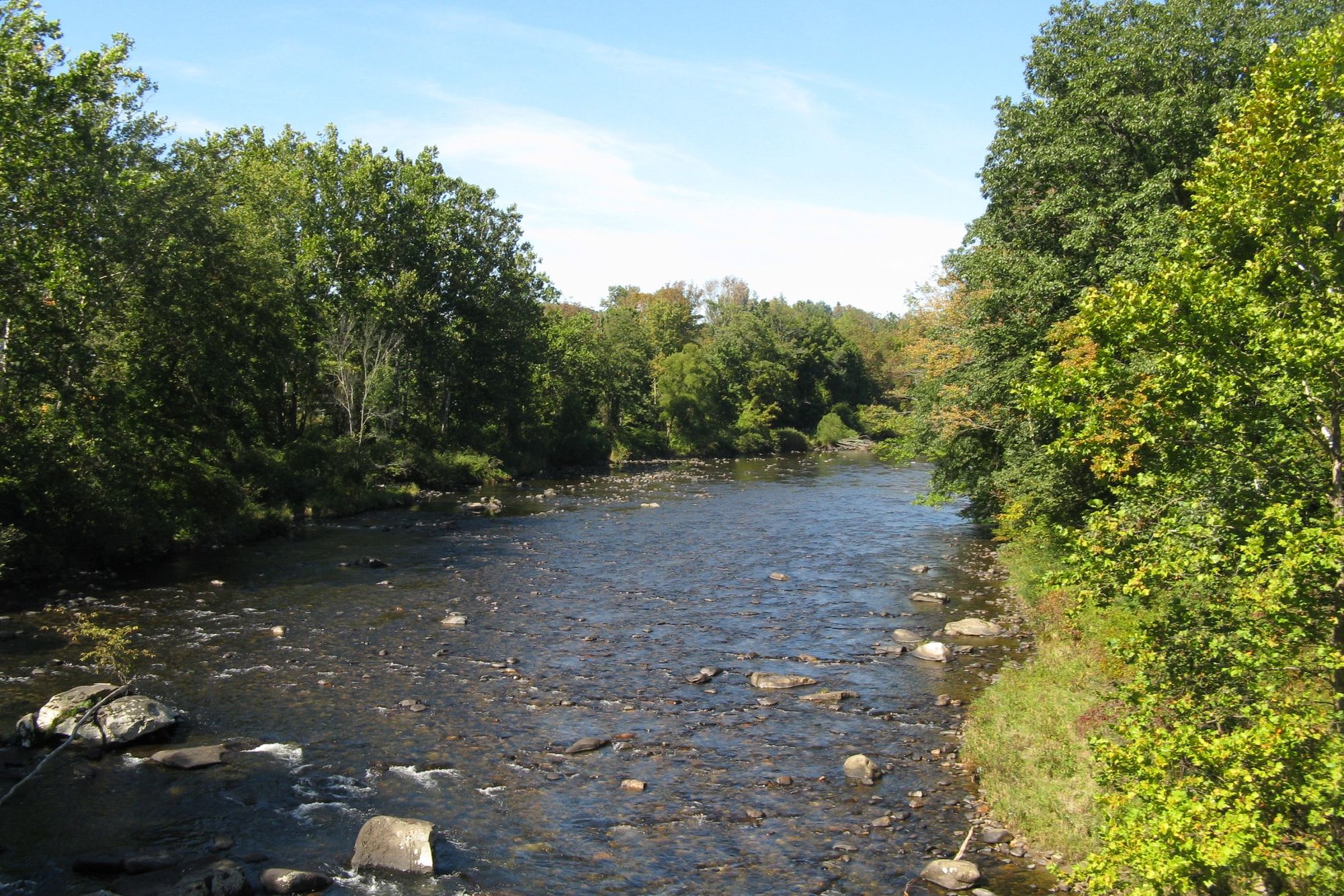
Westfield River
- Boat Ramps
- 1
- Access Points
- 17
- Campsites
- 4
The Westfield River, located in western Massachusetts, is a waterway that offers paddlers a range of experiences from placid flatwater to challenging whitewater. With its headwaters in the Berkshire Hills, the river flows approximately 78 miles before joining the Connecticut River in Agawam, just across from Springfield.
The river system consists of three main branches - East, Middle, and West - which converge near the city of Westfield. Each branch has its own character, providing varied paddling opportunities.
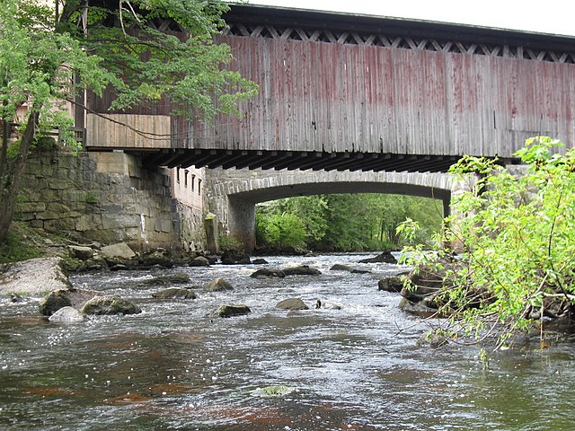
The West Branch is renowned for its challenging Class III-IV whitewater, particularly the 9.5-mile Becket to Chester section, which is considered one of New England's finest early-spring runs. This isolated stretch offers expert paddlers a thrilling ride through a scenic valley marked by historic stone-arch railroad bridges.
For intermediate paddlers, the North Branch provides excellent options, with sections like the 7.2-mile Cummington to Chesterfield Gorge run offering continuous Class II rapids with occasional Class III features.
The Main Branch, from Huntington downstream, generally offers easier paddling suitable for a wider range of skill levels, with mostly Class I-II rapids interspersed with calm sections.
The Westfield River system is best paddled in spring when snowmelt and rains provide optimal water levels. However, some sections, particularly on the Main Branch, can be enjoyed throughout the summer. Fall foliage season offers spectacular scenery but may require careful water level monitoring.
The river corridor supports a rich ecosystem, home to diverse wildlife including bald eagles, otters, and various fish species. The watershed contains one of the largest roadless wilderness areas remaining in Massachusetts, providing a sense of remoteness rare in the region.
Notable landmarks along the river include the Chesterfield Gorge, where the river has carved a dramatic 70-foot-deep chasm, and the Knightville Dam, which offers recreational opportunities and flood control. The Littleville Lake on the Middle Branch provides a peaceful flatwater paddling experience.
Access to the river is generally good, with numerous put-in and take-out points in towns like Huntington, Chester, Russell, and Westfield. These communities serve as gateways to the river, offering amenities for paddlers.
Historically, the Westfield River played a crucial role in the region's development, powering mills and facilitating transportation. Today, its importance is recognized through its designation as a National Wild and Scenic River, with over 78 miles protected for their outstanding scenic, recreational, and ecological values.
Safety considerations on the Westfield River include being prepared for sudden water level changes, especially below dams, and the presence of strainers and other obstacles typical of New England rivers. Paddlers should always check current conditions and be aware of their skill limitations, particularly on the more challenging upstream sections.
While most paddling trips on the Westfield are day excursions, multi-day adventures are possible by combining different sections or incorporating camping at designated sites like those found in the C.M. Gardner State Park or Indian Hollow Campground.
The Westfield River offers a paddling experience for almost every skill level, from family-friendly floats to expert-level rapids, all set against the backdrop of western Massachusetts' beautiful and historic landscape.
Water access, boat ramps & amenities
Learn how to get on Westfield River. Uncover great paddling access points, boat ramps, and all the facilities you need for an unforgettable day on the water. Some locations shown may border or include private property. Always check property boundaries and applicable regulations before visiting. PaddleWays's Public & Private Land layer can help you plan your access with confidence.
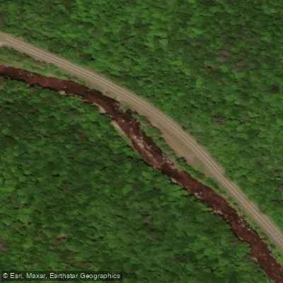
Westfield River, East Branch Access
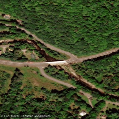
Route 9 Bridge Access
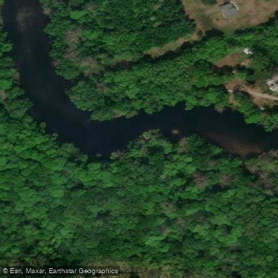
Access
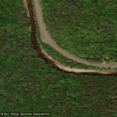
Berkshire Trail Access
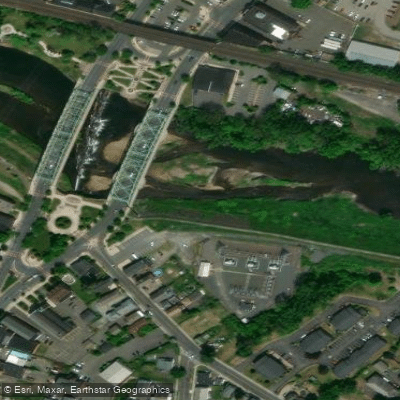
Great River Bridge Access
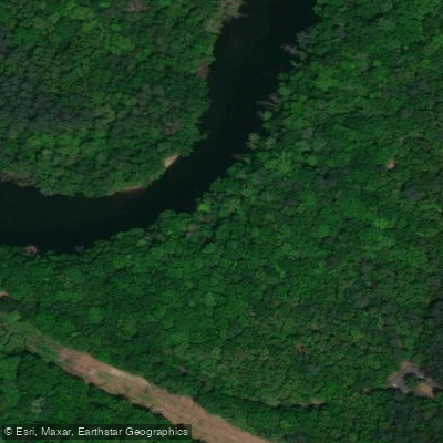
Robinson State Park Access
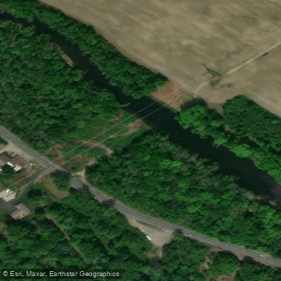
Westfield River-Westfield Access
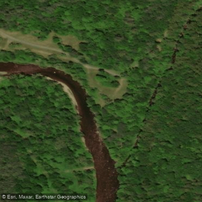
Indian Hollow Road Access
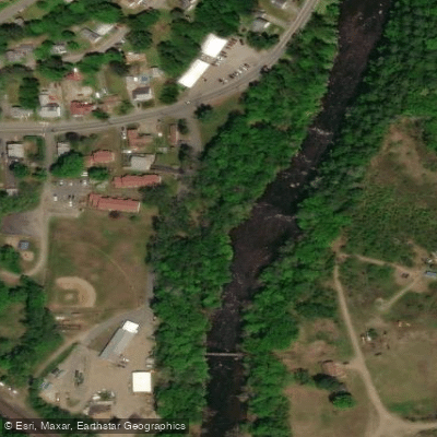
Hillgate Park Access
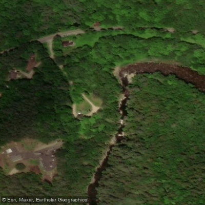
Chesterfield Gorge Access
Paddle smarter with real-time insights
Whether you're en route and conditions shift or you're looking for the best spot based on current flows, we enable you to make informed decisions on the fly.








Find Places to Paddle

Over 400,000 Places to Paddle
Every user gets free access to launch points, boat ramps, and public property parcels.


Water and weather conditions (10 day forecast)
See the best times to paddle Westfield River and check the forecast before you go.
WESTFIELD RIVER AT KNIGHTVILLE, MA
All Flow Stations
Paddling near Westfield River

Connecticut River
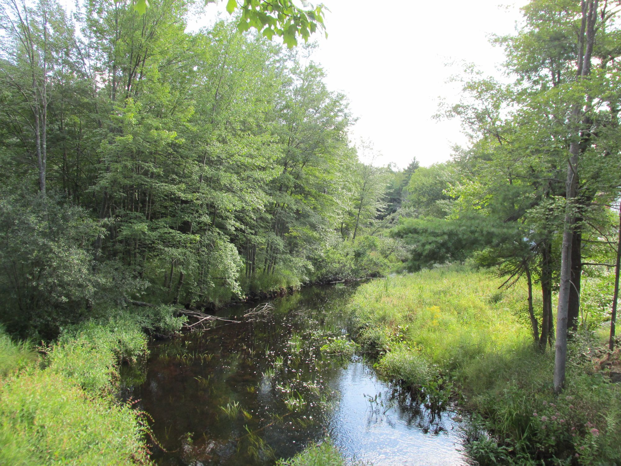
Millers River

Housatonic River
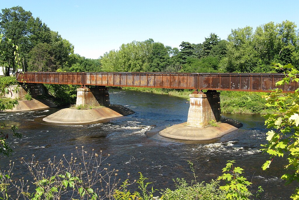
Quaboag River
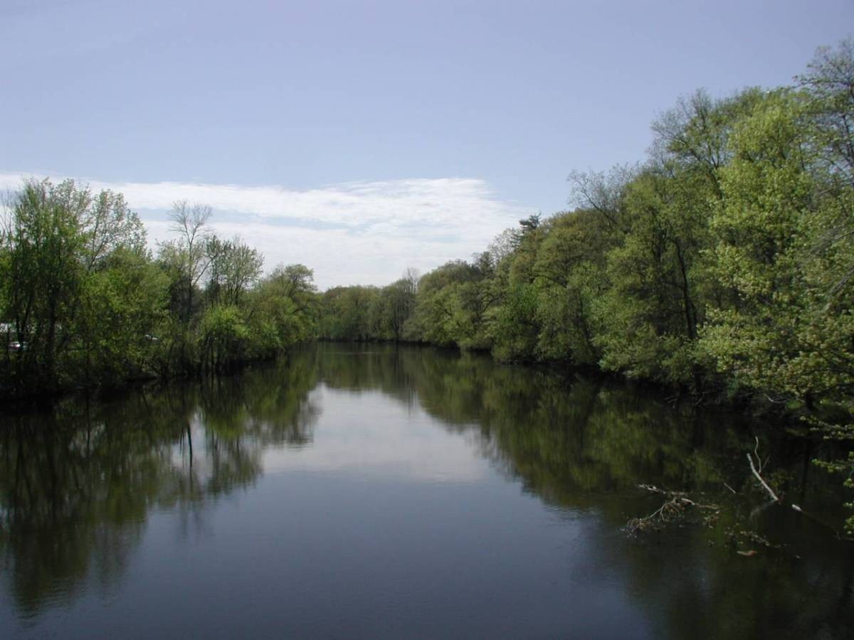
Farmington River

Wachusett Reservoir
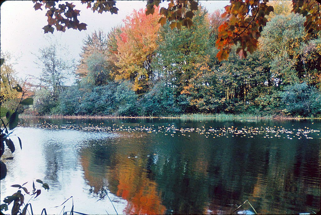
Ashuelot River
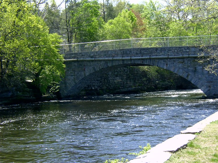
Willimantic River
Contoocook River
Explore Massachusetts waters
Top paddling waters
Popular Cities
Loading popular cities...
Explore near Westfield River
Access points
- Westfield River-Russell Boat Ramp
- Westfield River, East Branch Access
- Route 9 Bridge Access
- Access
- Berkshire Trail Access
- Great River Bridge Access
- Robinson State Park Access
- Westfield River-Westfield Access
- Indian Hollow Road Access
- Hillgate Park Access
- Chesterfield Gorge Access
- Westfield River-Westfield Access
- All 146 spots
Nearby waters
More in Massachusetts

Smarter Paddling Starts in the App.
Paddleways gives you everything you need to plan smarter, paddle better, and own every trip from first launch to takeout.