Shamber T.
Zumbro Falls Access Site to Hammond Village Park Access Site Start to Zumbro River, Hammond Village Park Public Water Access Site
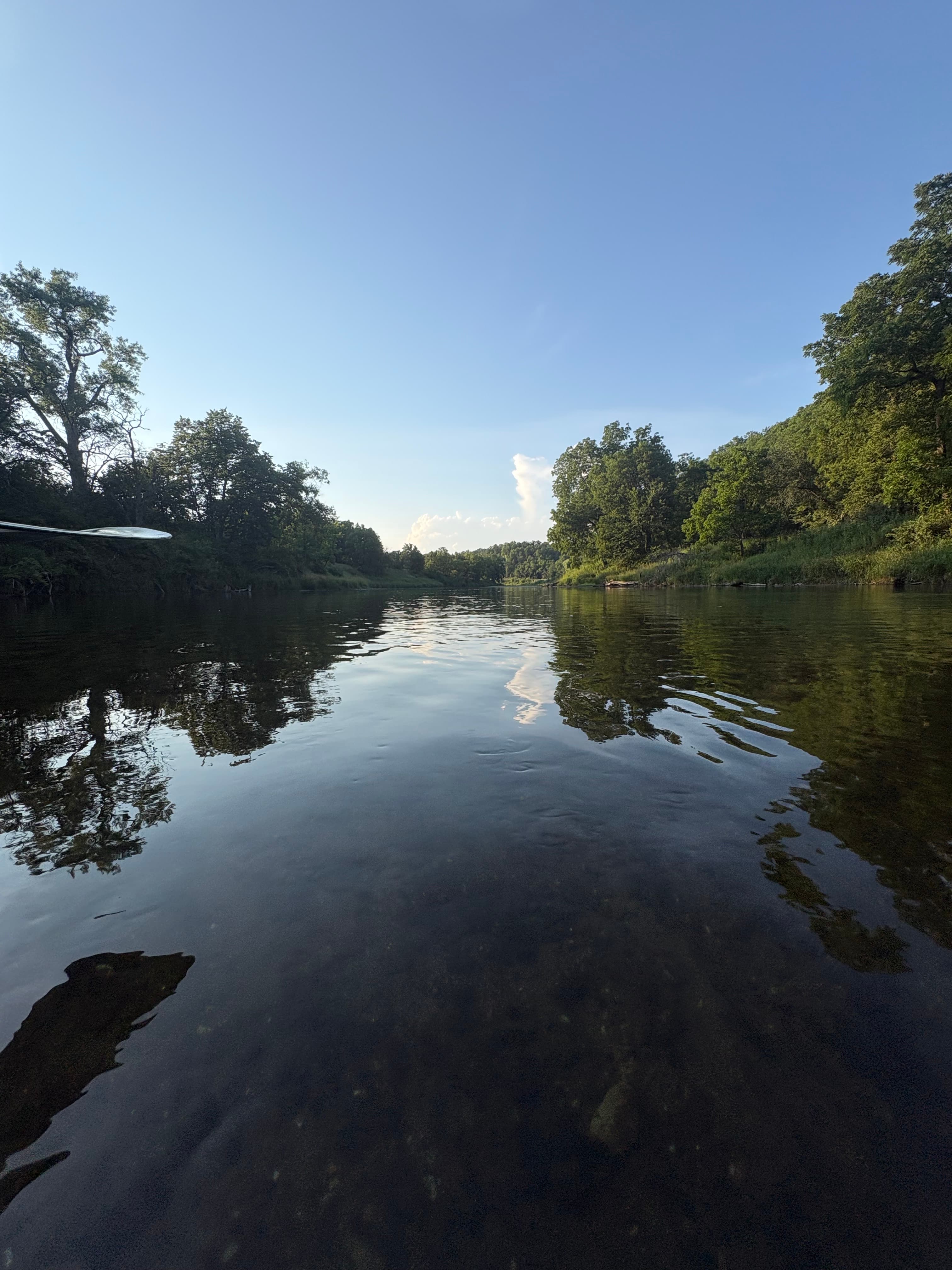
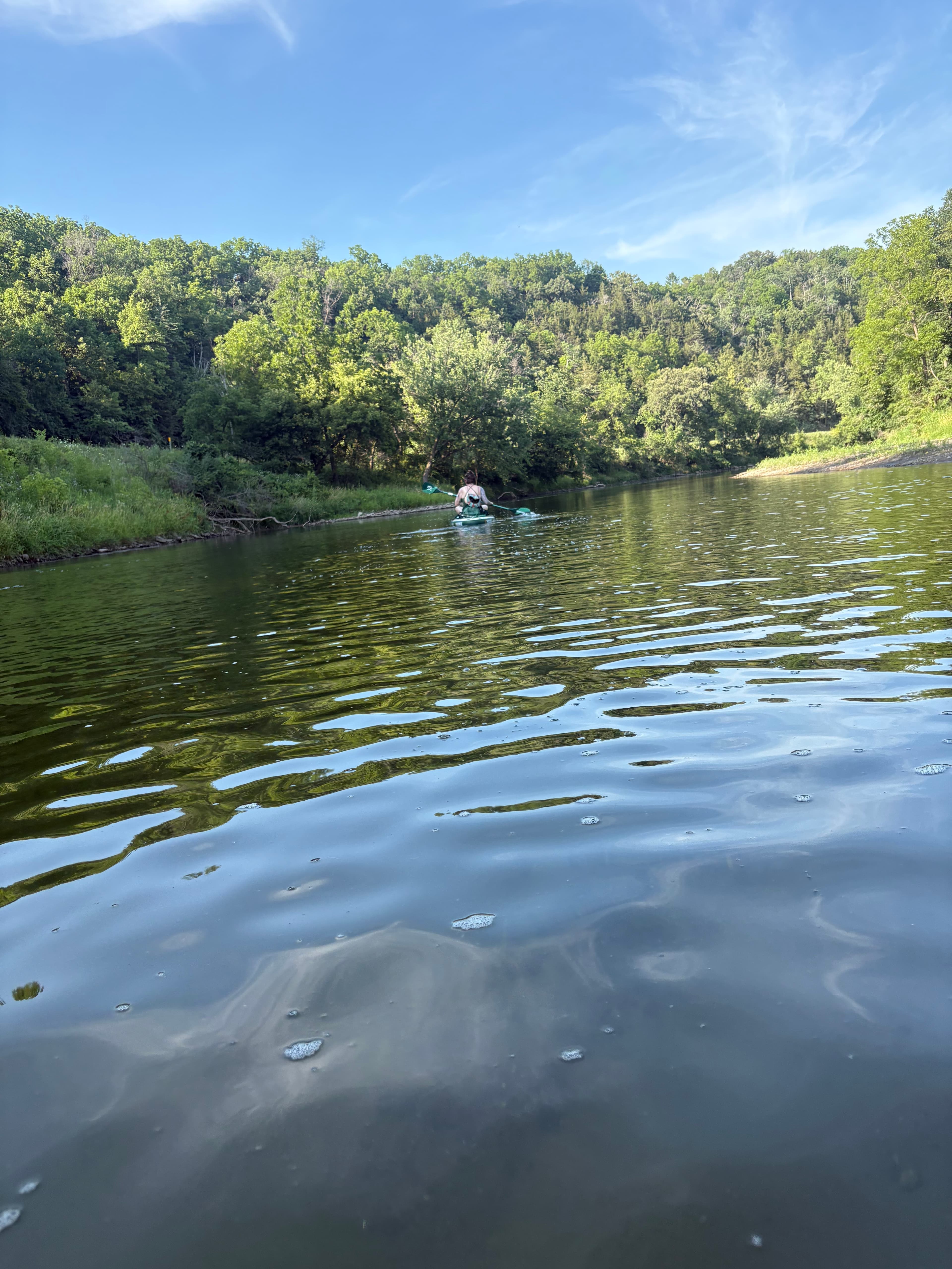
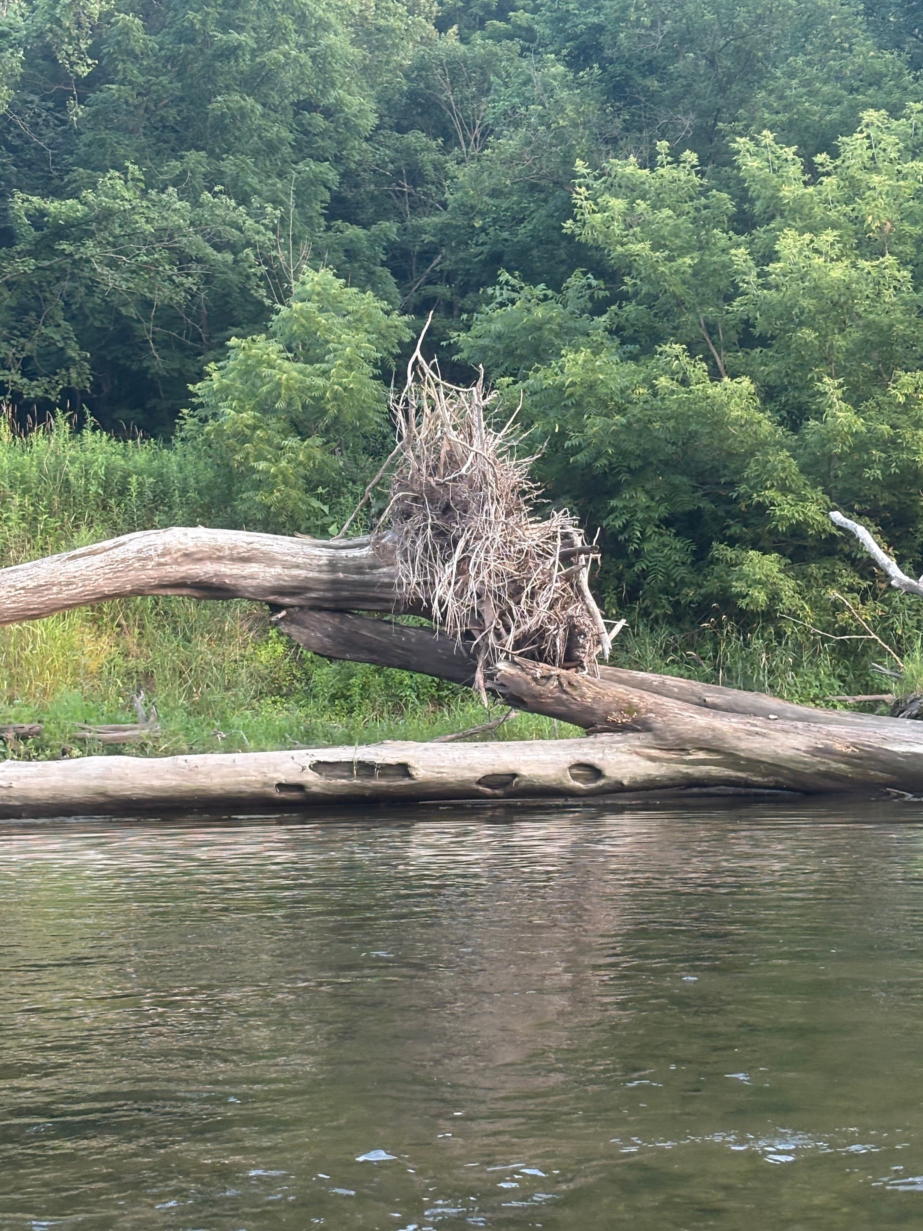 +7
Curated by PaddleWays
7.4 mi whitewater route on the Zumbro River in Minnesota
Level right now
Route facts
Downed trees and snags
About this route
Your journey begins in the town of Zumbro Falls, where there is a carry-in access point just downstream of the US Highway 63 bridge. Another option is the private access at Sportsman Park, which offers camping and other facilities for a fee.
As you travel downstream, the river winds through a deepening valley with noticeable limestone cliffs and tall hills. The current is generally lively, with easy riffles to navigate.
You'll find yourself surrounded by a landscape of woods and marshes, with trees like elm, box elder, willow, and cottonwood lining the banks. The riverbed is primarily sand and gravel, and you'll likely encounter several gravel bar riffles.
In the town of Hammond, you may encounter a Class I rapid, which at lower water levels appears as a large area of shallow ripples. The take-out is in Hammond, where there is a dedicated landing with ample parking and a porta-potty.
River Levels: The Zumbro can have a surprisingly strong current even at moderate levels. It's important to check water levels before your trip, as conditions can change, especially after rainfall.
A level of around 7-9 feet at the Zumbro Falls gauge is often recommended. Hazards: While there are no major rapids on this stretch, paddlers should be alert for potential obstacles such as downed trees and snags.
Wildlife: This section of the river offers excellent opportunities to see wildlife, including bald eagles, deer, and a variety of fish. Shuttle: A convenient shuttle can be run using Highway 11, which parallels the river for the entire route.
Put-in and take-out
Hazards
No hazards are marked on this route yet. That is not the same as none being there: if you find one, report it for the next paddler.
From the community
Real trips from PaddleWays paddlers who ran this route: how the flows were, and what to watch for.
Loading trip reports
Shamber T.
Zumbro Falls Access Site to Hammond Village Park Access Site Start to Zumbro River, Hammond Village Park Public Water Access Site
+7The gauges near this route and the forecast where it starts, so you can pick your day.
No forecast data available.
Same water
The other curated routes on the Zumbro River, each with how it is running now.
RouteFlatwater
RouteClass I–II
RouteClass I–II
Close by
Curated routes on other waters within an hour or so, nearest first.
on South Branch Middle Fork Zumbro River · 14 mi away
RouteClass I–II
on South Branch Middle Fork Zumbro River · 20 mi away
RouteClass II–III
on Cannon River · 26 mi away
RouteClass I–II
on Buffalo River · 27 mi away
RouteFlatwater
on Cannon River · 27 mi away
RouteClass I–II
on Rush River · 28 mi away
RouteClass I–II
PaddleWays gives you everything you need to plan smarter, paddle better, and own every trip from first launch to takeout.
