Cannon River
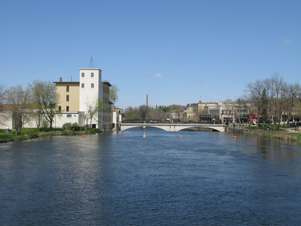
Cannon River
- Boat Ramps
- 3
- Access Points
- 19
- Campsites
- 4
The Cannon River is a scenic waterway in southeastern Minnesota, originating at Shields Lake near Faribault and flowing eastward for approximately 112 miles before joining the Mississippi River near Red Wing. This river system drains a watershed of about 1,460 square miles, primarily through agricultural and forested landscapes. Paddling opportunities abound on the Cannon River, with several popular sections catering to various skill levels. The stretch from Cannon Falls to Welch is a favorite 13-mile route, offering a mix of gentle flows and occasional light riffles suitable for beginners to intermediate paddlers. Another notable section runs from Faribault to Dundas, spanning 13.2 miles of swift currents and impressive rock formations. The river's difficulty ranges from flatwater to Class II rapids, making it accessible to a wide range of paddlers. While most sections are suitable for novices, some areas require basic maneuvering skills, especially during higher water levels.
Spring and early summer typically offer the best paddling conditions, with consistent water levels. Late summer and fall can still be enjoyable, though lower water may necessitate occasional portaging in some sections. The Cannon River valley supports a diverse ecosystem, with wooded shorelines home to various wildlife including bald eagles, herons, and deer. The river itself hosts numerous fish species, making it popular among anglers.
Key landmarks include the historic town of Northfield, the Cannon River Wilderness Area, and the scenic Cannon Valley Trail which parallels portions of the river. The 10-foot Northfield Dam at river mile 41.9 is a notable feature requiring portage. Major access points include Riverside Park in Cannon Falls, Two Rivers Park in Faribault, and takeouts in Welch and Northfield. These towns provide amenities for paddlers planning day trips or longer excursions.
Historically, the river played a crucial role in the region's development, powering mills and supporting early settlements. Today, it's recognized as a State Water Trail, highlighting its recreational and environmental significance. Safety considerations include checking water levels before paddling, as conditions can change rapidly. Canoeists and kayakers should be aware of potential strainers and sweepers, especially in high water. Life jackets are required by law.
For those seeking a multi-day adventure, the entire length from Faribault to the Mississippi River can be paddled in 3-4 days, with several campgrounds and access points along the way. This longer trip showcases the river's changing character from its upper reaches to its confluence with the Mississippi.
Water access, boat ramps & amenities
Learn how to get on Cannon River. Uncover great paddling access points, boat ramps, and all the facilities you need for an unforgettable day on the water. Some locations shown may border or include private property. Always check property boundaries and applicable regulations before visiting. PaddleWays's Public & Private Land layer can help you plan your access with confidence.
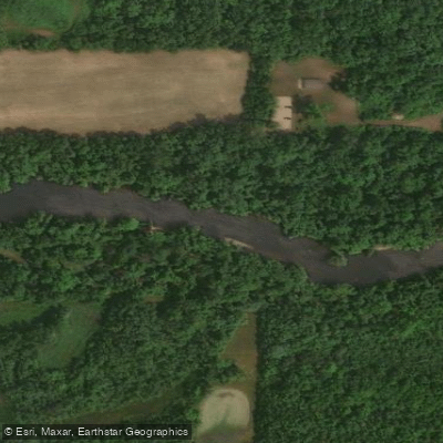
Cannon River, Wildeness Area Public Water Access Site
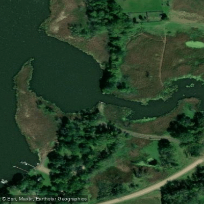
Gorman Lake (SE) Public Water Access Site
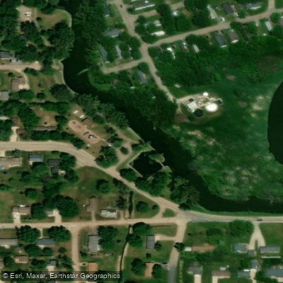
Cannon River, Morristown Public Water Access Site
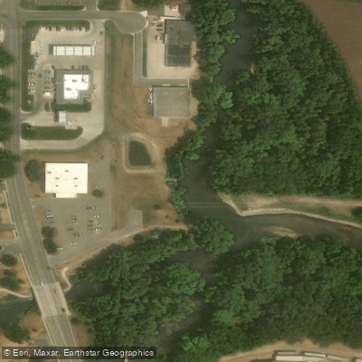
Cannon River, Two Rivers Access Public Water Access Site
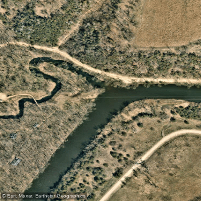
Cannon River, Miesville Ravine Co Park Public Water Access Site
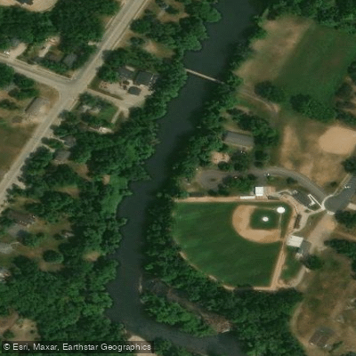
Cannon River, Dundas Access Public Water Access Site
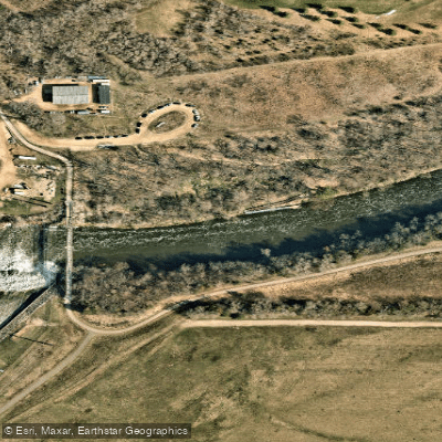
Cannon River, Lake Byllesby Regional Park, Dam Public Water Access
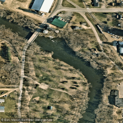
Cannon River, Hannah's Bend Park Public Water Access Site
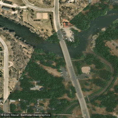
Cannon River, Riverside Park Public Water Access Site
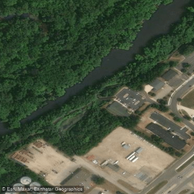
Sechler Park Access
Paddle smarter with real-time insights
Whether you're en route and conditions shift or you're looking for the best spot based on current flows, we enable you to make informed decisions on the fly.








Find Places to Paddle

Over 400,000 Places to Paddle
Every user gets free access to launch points, boat ramps, and public property parcels.


Water and weather conditions (10 day forecast)
See the best times to paddle Cannon River and check the forecast before you go.
CANNON RIVER AT CO. HWY. 29 BELOW FARIBAULT, MN
All Flow Stations
Paddling near Cannon River

Mississippi River
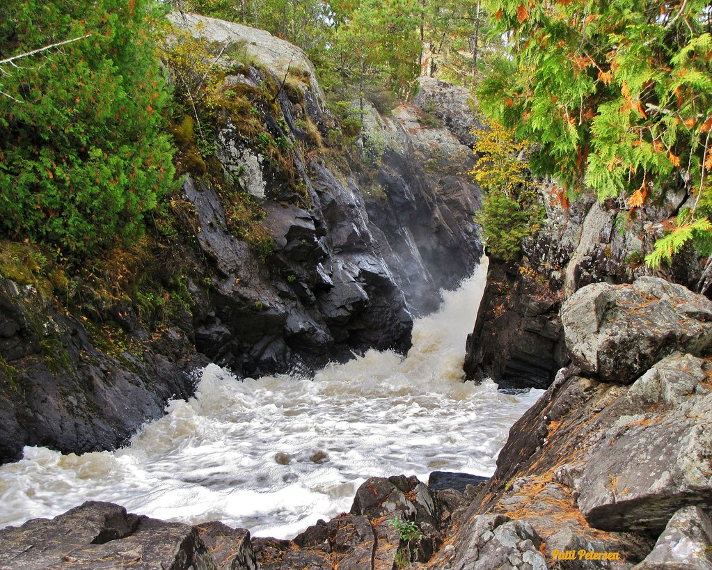
Vermillion River
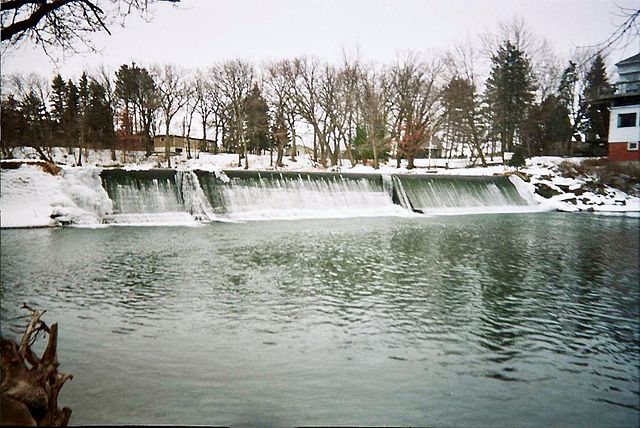
Cedar River
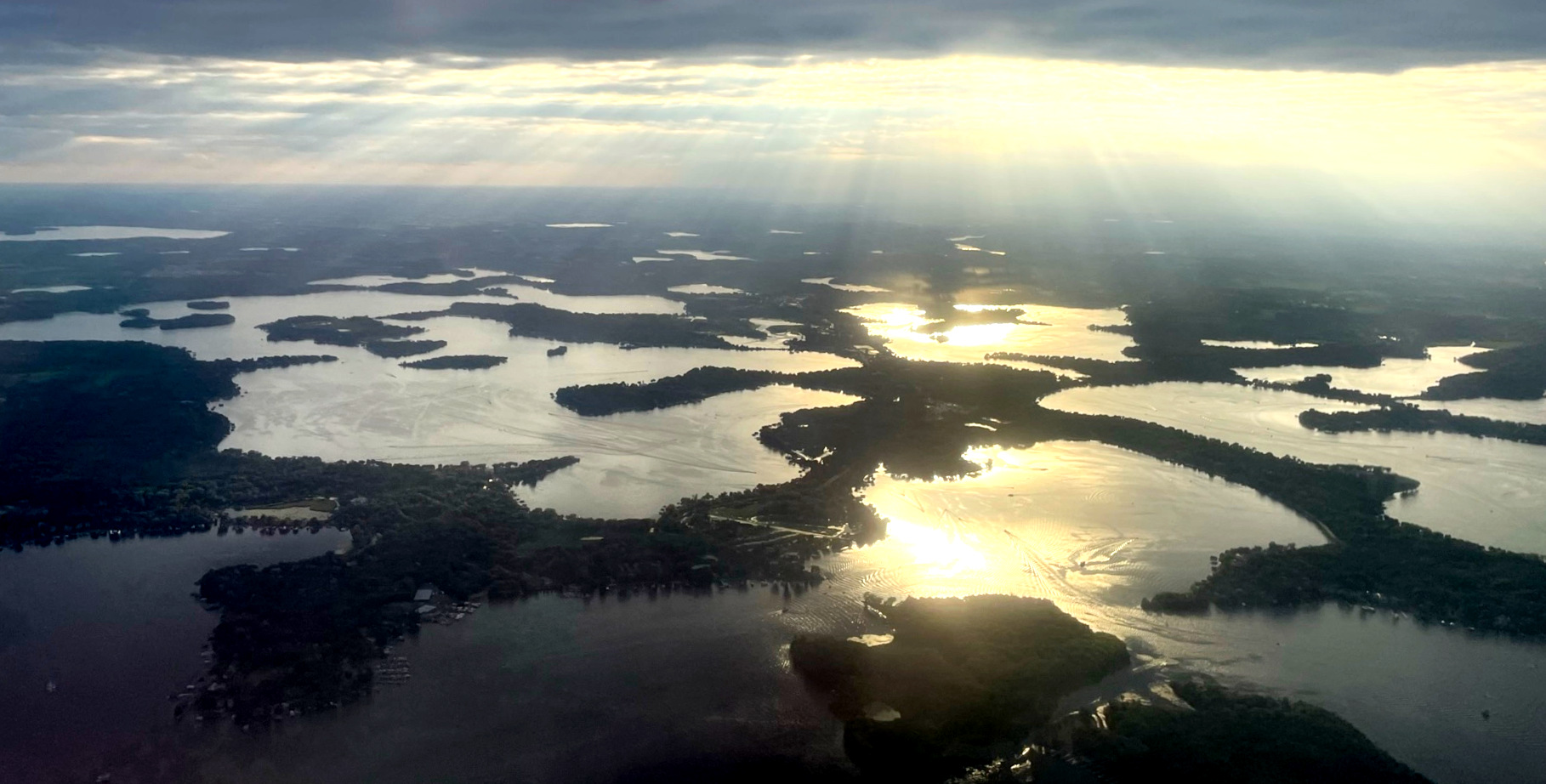
Lake Minnetonka
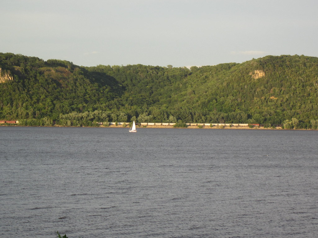
Lake Pepin
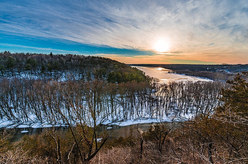
Kinnickinnic River
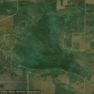
Mazaska Lake
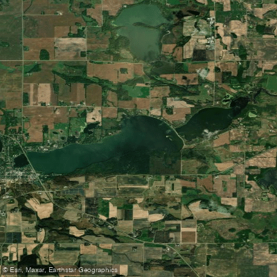
Sakatah Lake
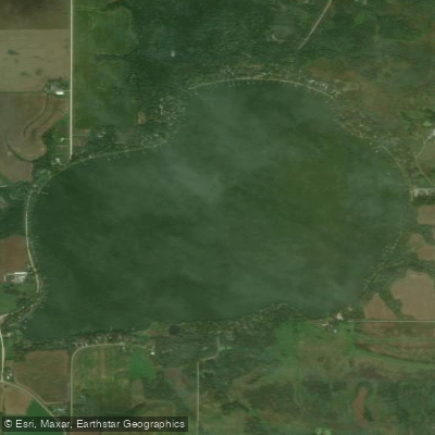
French Lake
Explore Minnesota waters
Top paddling waters
Popular Cities
Loading popular cities...
Explore near Cannon River
Access points
- Waterville Public Boat Ramp
- Sabre Lake Boat Ramp
- Cannon River, South Alexander Park Public Water Access Site
- Cannon River, Wildeness Area Public Water Access Site
- Gorman Lake (SE) Public Water Access Site
- Cannon River, Morristown Public Water Access Site
- Cannon River, Two Rivers Access Public Water Access Site
- Cannon River, Miesville Ravine Co Park Public Water Access Site
- Cannon River, Dundas Access Public Water Access Site
- Cannon River, Lake Byllesby Regional Park, Dam Public Water Access
- Cannon River, Hannah's Bend Park Public Water Access Site
- Cannon River, Riverside Park Public Water Access Site
- All 116 spots
Nearby waters
More in Minnesota

Smarter Paddling Starts in the App.
Paddleways gives you everything you need to plan smarter, paddle better, and own every trip from first launch to takeout.