Curated by PaddleWays
Route
- Distance
- 7.4 mi
- Paddle time
- ~2 hrs
- Put-in → take-out
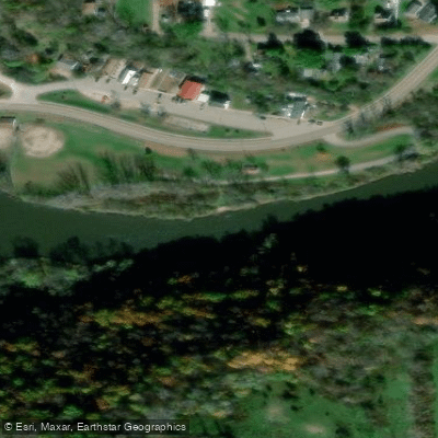
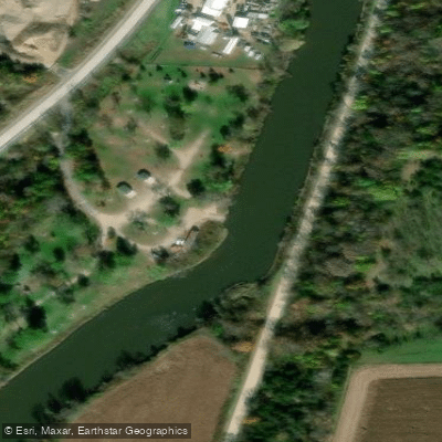
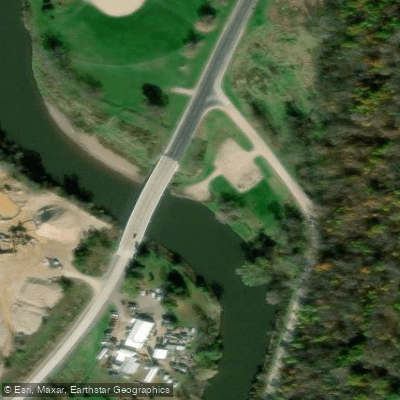
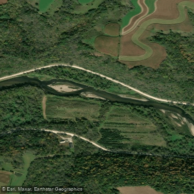
- Zumbro River, Zumbro Falls Public Water Access Site → Zumbro River, Hammond Village Park Public Water Access Site
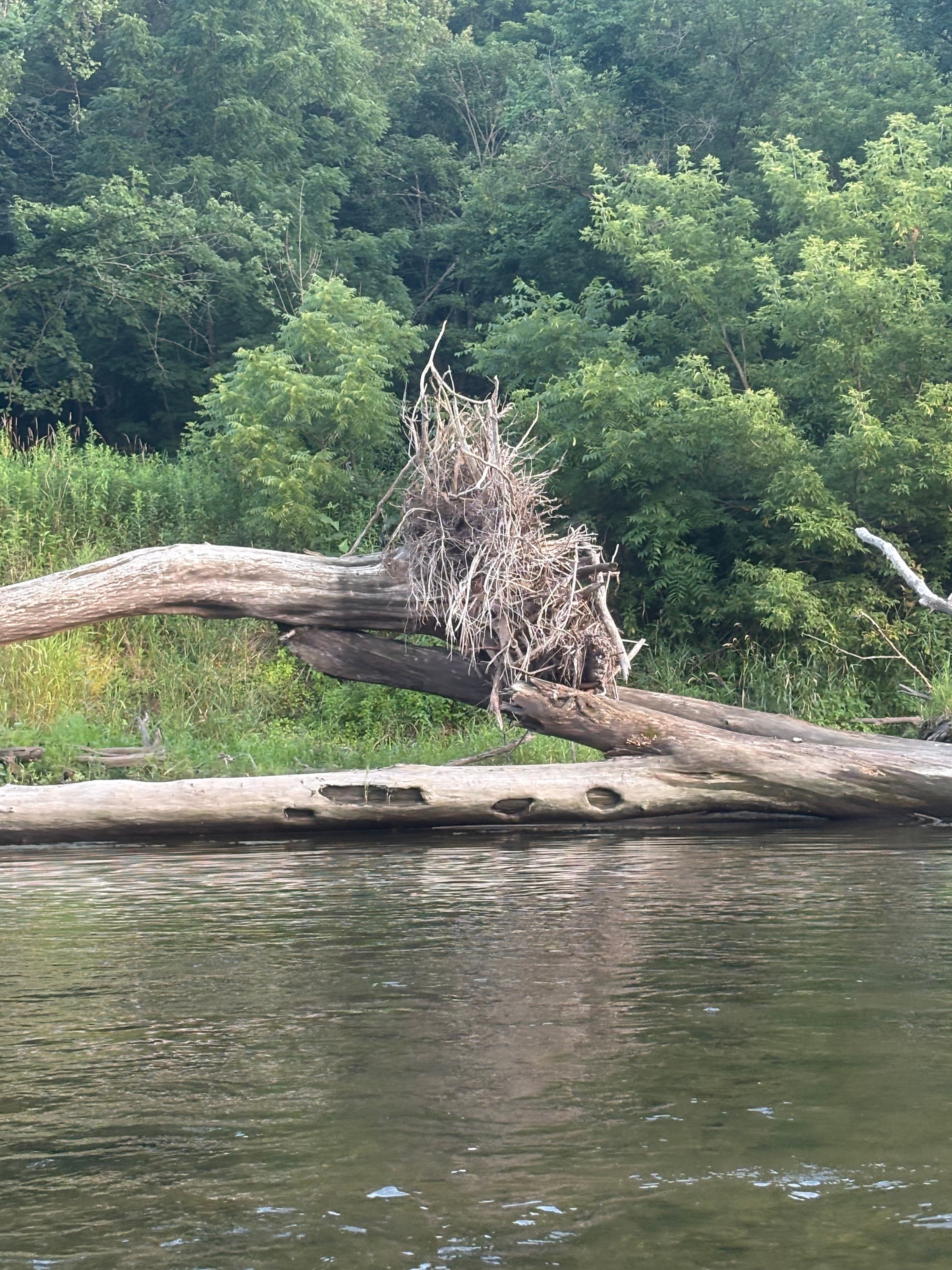
Downed trees and snags
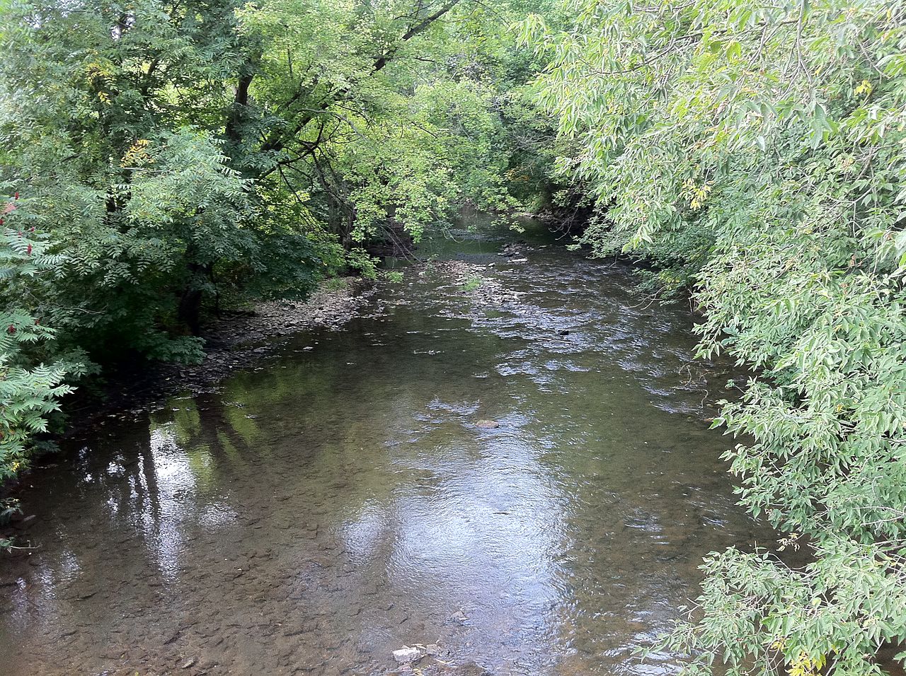
The Zumbro River is a scenic waterway in southeastern Minnesota, originating from three main branches - the North, Middle, and South Forks - which converge near Zumbro Falls to form the main stem. From there, the river flows northeastward for approximately 65 miles before emptying into the Mississippi River near Kellogg. The Zumbro drains a watershed of about 1,400 square miles in the Driftless Area, characterized by rolling hills, limestone bluffs, and fertile valleys.
Paddling opportunities abound on the Zumbro, with over 200 miles of navigable water across its various branches. The river offers a mix of experiences, from calm flatwater stretches ideal for beginners to swifter sections with Class I-II rapids that challenge intermediate paddlers. Popular routes include the South Fork from Rochester to Lake Zumbro (a 5-mile beginner-friendly trip), and the main stem from Zumbro Falls to the Mississippi (a multi-day adventure of about 45 miles). The river's difficulty ranges from flatwater to Class II, with most sections falling in the Class I category. Basic river reading skills and the ability to maneuver around obstacles are necessary, as snags and strainers are common. Water levels significantly impact paddling conditions, with spring typically offering the most reliable flows. Late summer and fall can be enjoyable but may require more portaging in low water.
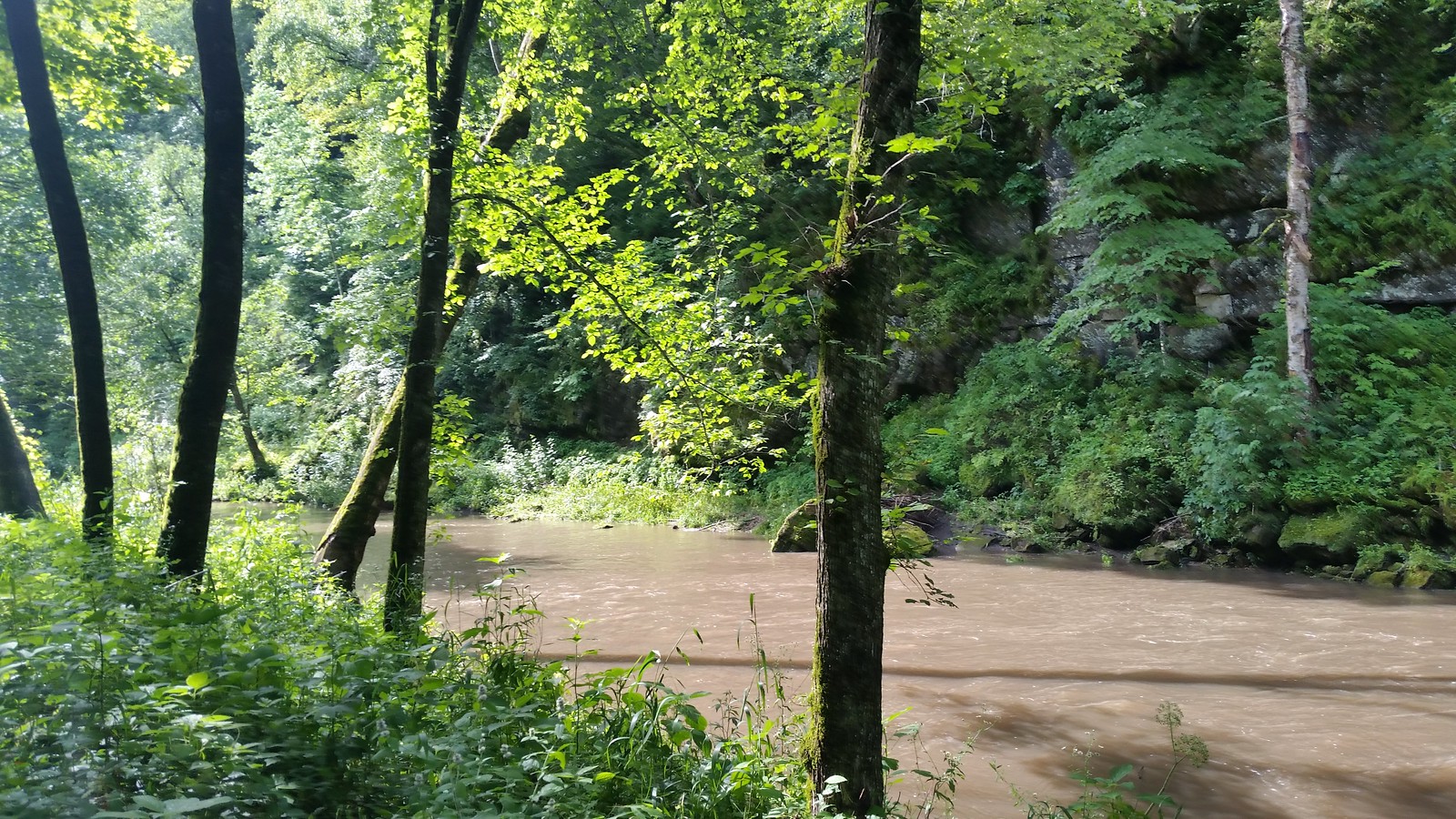
The Zumbro's corridor supports diverse wildlife, including bald eagles, herons, deer, and various fish species. The landscape transitions from agricultural areas near Rochester to more forested and rugged terrain as the river approaches the Mississippi. Scenic limestone bluffs, characteristic of the Driftless Area, are prominent features along much of the route.
Key access points include Rochester, Zumbro Falls, Millville, and Kellogg, with numerous DNR-managed landings in between. The river passes through several small towns, offering opportunities for resupply on longer trips. Lake Zumbro, a 600-acre reservoir created by a hydroelectric dam, marks a significant change in the river's character and provides additional recreational opportunities.
Historically, the Zumbro played a role in the region's development, powering mills and supporting agriculture. Today, it's a valuable recreational resource and part of Minnesota's State Water Trail system. Paddlers should be aware of changing water levels, potential logjams, and the hydroelectric dam at Lake Zumbro. Multi-day trips are possible, with primitive camping allowed on islands and gravel bars. The Zumbro River offers a diverse paddling experience, showcasing the natural beauty of southeastern Minnesota while providing adventures suitable for a wide range of skill levels.
Curated routes
Hand-picked by the PaddleWays team, with put-ins, take-outs, paddle times and the hazards along the way.
Route
RouteFlatwater
RouteClass I–II
RouteClass I–II
Hazards
No paddler has reported a hazard here yet, so these are the dams, falls and big rapids on our map. Hazards change with flows and storms, so check them before you launch.
From the community
Real trips from PaddleWays paddlers: which route they ran, how the flows were, and what to watch for.
Loading trip reports
Shamber T.
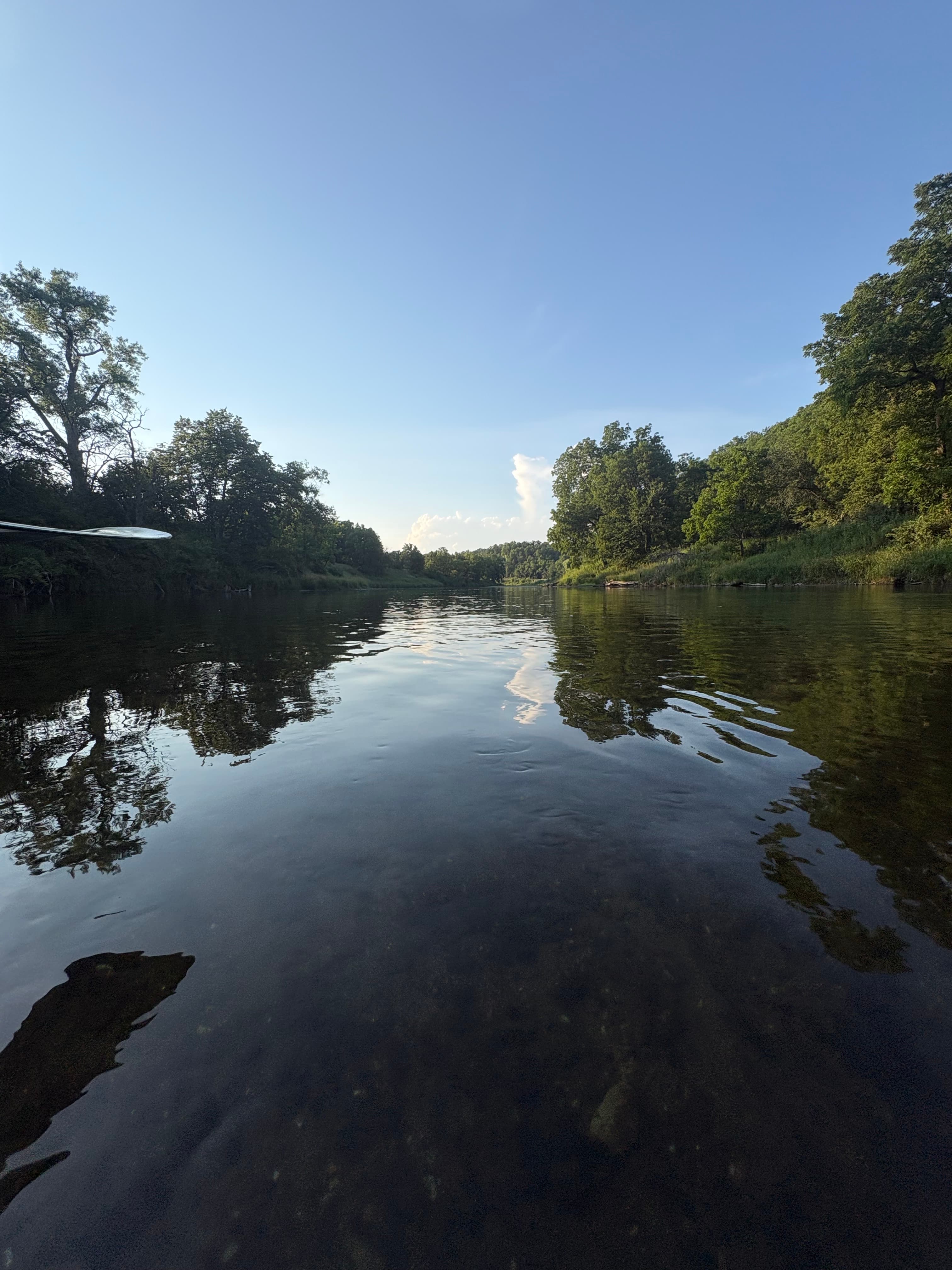
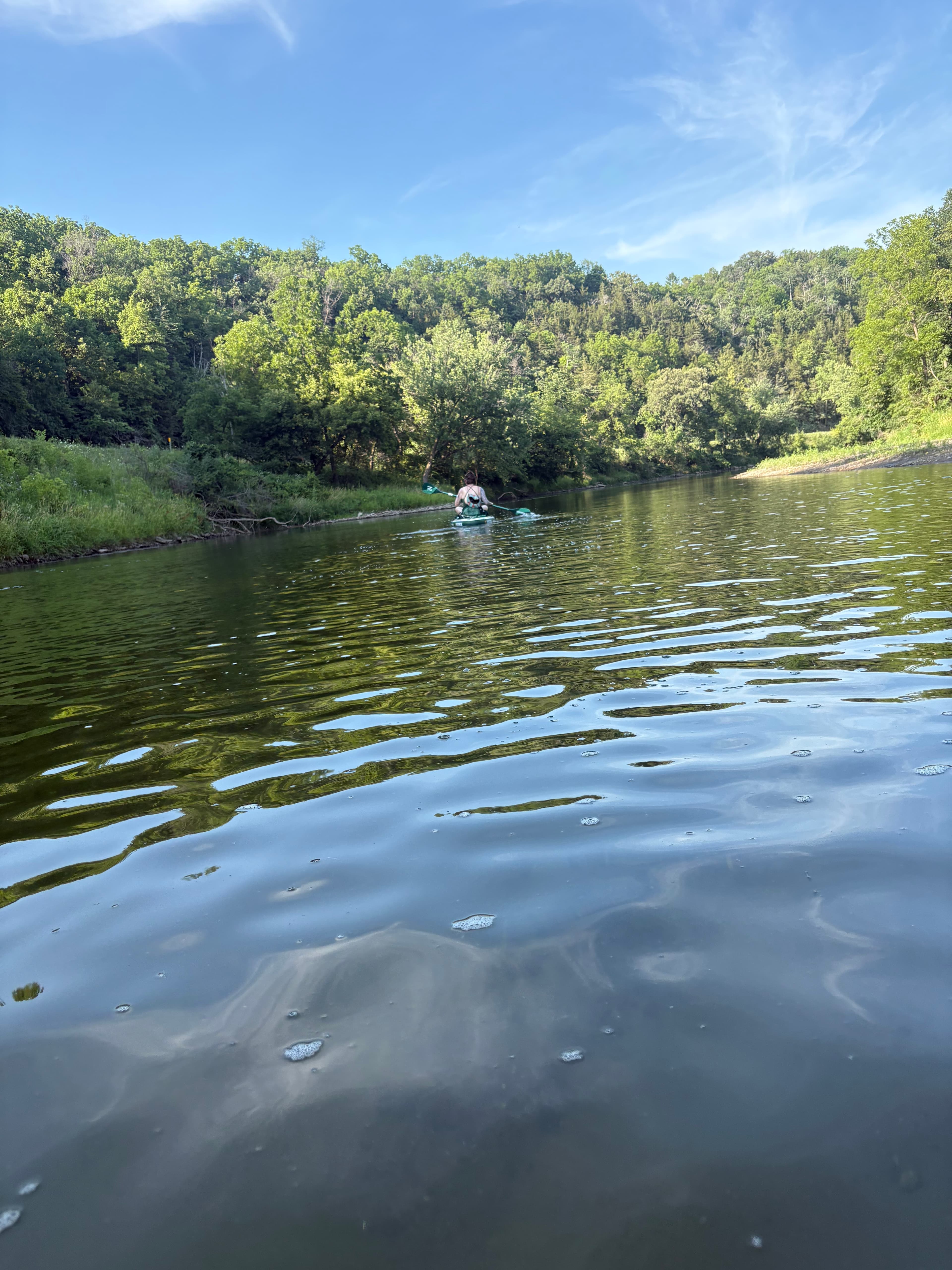
Zumbro Falls Access Site to Hammond Village Park Access Site
Zumbro Falls Access Site to Hammond Village Park Access Site Start to Zumbro River, Hammond Village Park Public Water Access Site
 +7
See exactly where the public can get on and off the river. Launch points and boat ramps are paired with PaddleWays' public land data so you know where you can legally land.
Public shoreline
18%of the river's shoreline is public
Most of the riverbank is private. Launch, land and camp only at public access points.
Flows, weather and a route-by-route verdict, so you know which stretch of the Zumbro River is worth paddling today.
Live flows, marked hazards and fresh trip reports from paddlers who were just on the water, all in one place.





Every user gets free access to launch points, boat ramps, and public property parcels.
Loading popular cities...
PaddleWays gives you everything you need to plan smarter, paddle better, and own every trip from first launch to takeout.