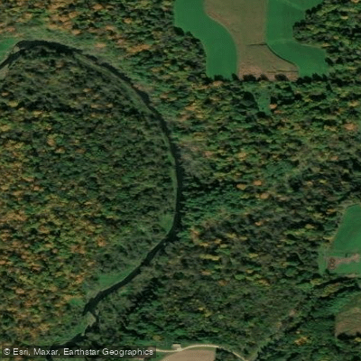
Curated by PaddleWays
RouteClass II
- Distance
- 10.7 mi
- Paddle time
- ~3.5 hrs
- Put-in → take-out
- Martell Access → 570th
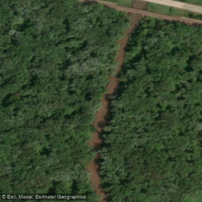
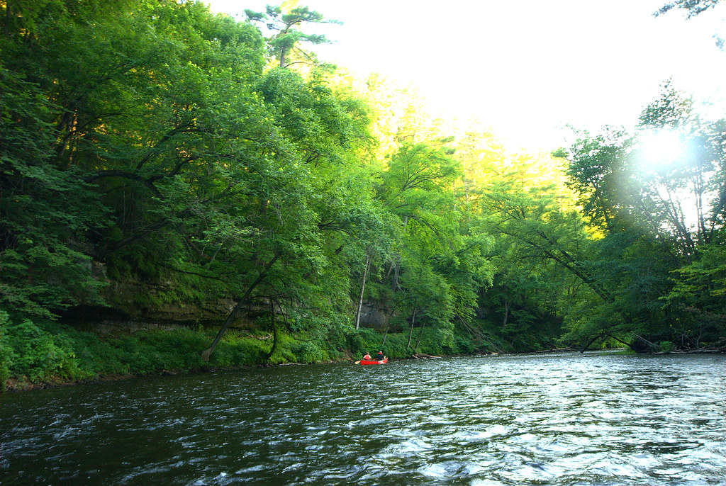
The Rush River originates near Baldwin, Wisconsin, in St. Croix County and flows approximately 50 miles southward through Pierce County before emptying into Lake Pepin (the widened section of the Mississippi River) near Maiden Rock. This Class I trout stream descends through the Driftless Area, carving a dramatic valley characterized by limestone bluffs, spring-fed tributaries, and steep-sided coulees typical of unglaciated terrain. The river's upper reaches in St. Croix County flow through relatively flat former prairie country before entering the more rugged topography of Pierce County. Here, the Rush cuts through Oneota dolomite formations and Jordan sandstone, creating the prominent bluffs visible throughout the watershed. The river is fed by numerous cold-water springs and tributaries, including Lost Creek, Cave Creek, and Morgan Coulee Creek, which maintain year-round flow and support exceptional trout habitat.
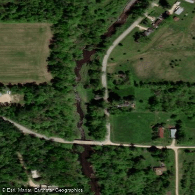
Paddling opportunities on the Rush River are limited and highly water-level dependent. The middle section from approximately 690th Avenue to 570th Avenue in Pierce County offers the most viable kayaking when water levels are adequate—typically following spring rains or significant precipitation events. This 6-mile stretch features Class I-II rapids, boulder gardens, and spectacular limestone palisades. The river is generally too shallow for navigation during normal summer flows, with rocky riffles becoming impassable. Timing is critical: paddlers need elevated water levels (monitoring the nearby Eau Galle River gauge at Spring Valley provides useful reference), but excessive flows create dangerous conditions with pushy water and tight turns around blind corners.
The Rush River watershed encompasses approximately 290 square miles, with 31.8 miles designated as Class I trout water and 6.1 miles as Class II. Brown trout dominate the fishery, with densities reaching 7,000-8,000 fish per mile in prime sections—among the highest in Wisconsin. Brook trout persist in the coldest spring tributaries. The river supports diverse riparian vegetation including silver maple, cottonwood, willow, and ash in the floodplain, with oak-dominated forests and remnant prairies on the bluffs.
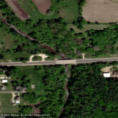
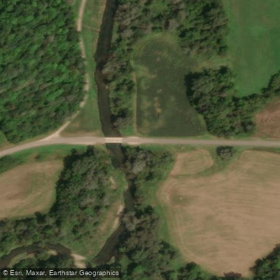
Access points include bridges at 730th Avenue, 690th Avenue, County Road N, Highway 72, and 570th Avenue, with the town of El Paso providing mid-route access. The Koch Landing Fishing Area offers additional public access. Maiden Rock serves as the nearest community to the river's mouth.
The Rush River valley has experienced significant environmental changes since European settlement. Historic land clearing caused severe erosion and channel aggradation in the early 20th century. Conservation efforts since the 1930s have improved conditions, though bank erosion remains an ongoing challenge, particularly following extreme flood events like the June 2020 flooding.
Paddlers should possess strong boat control skills and be prepared for shallow rocky rapids, potential strainers, and limited portage options. The river is unsuitable for beginners except during ideal water conditions. Most paddlers will find the nearby Kinnickinnic River offers more reliable paddling conditions.
Curated routes
Hand-picked by the PaddleWays team, with put-ins, take-outs, paddle times and the hazards along the way.
RouteClass II
RouteClass I–II
Hazards
No hazards are marked on Rush River yet. That is not the same as none being there: if you find one, report it for the next paddler.
From the community
Nobody has shared a trip on Rush River yet. Paddle it, then tell the next paddler how it went.
See exactly where the public can get on and off the river. Launch points and boat ramps are paired with PaddleWays' public land data so you know where you can legally land.
Public shoreline
6%of the river's shoreline is public
Most of the riverbank is private. Launch, land and camp only at public access points.
Flows, weather and a route-by-route verdict, so you know which stretch of the Rush River is worth paddling today.
No forecast data available.
Live flows, marked hazards and fresh trip reports from paddlers who were just on the water, all in one place.





Every user gets free access to launch points, boat ramps, and public property parcels.

Loading popular cities...
PaddleWays gives you everything you need to plan smarter, paddle better, and own every trip from first launch to takeout.