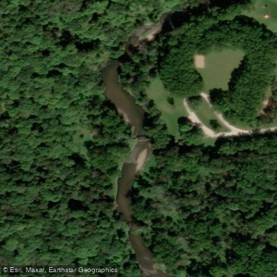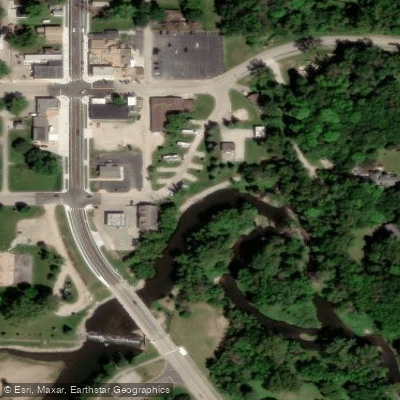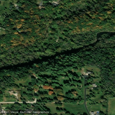
Curated by PaddleWays
RouteClass II–III
- Distance
- 8.8 mi
- Paddle time
- ~2 hrs
- Best for
- Kayak, canoe
- Put-in → take-out
- Zumbro River, Mantorville Public Water Access Site → Zumbro River, Oxbow Park Public Water Access Site
Potential snags along the way
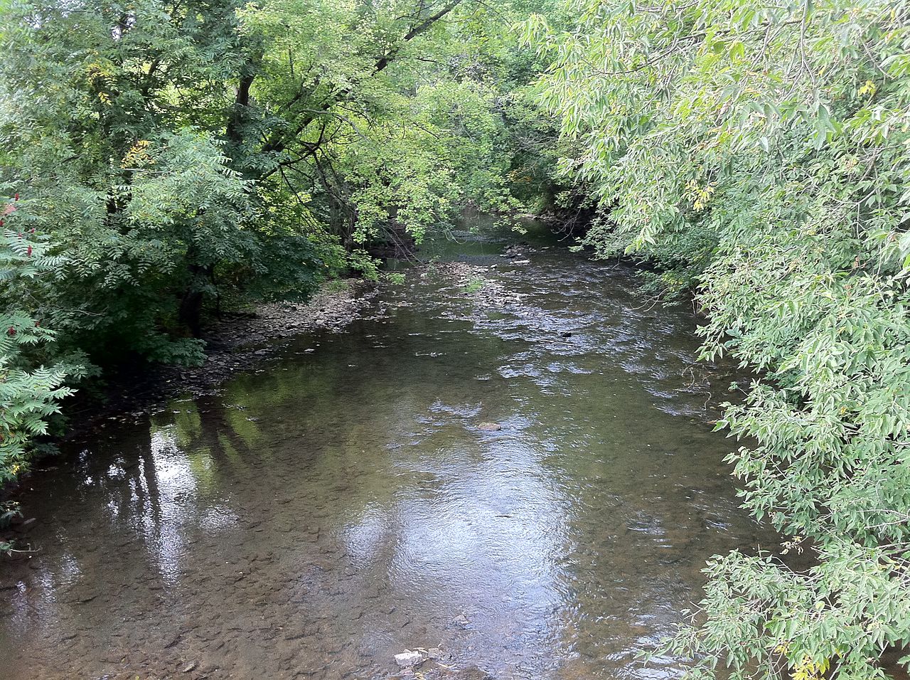
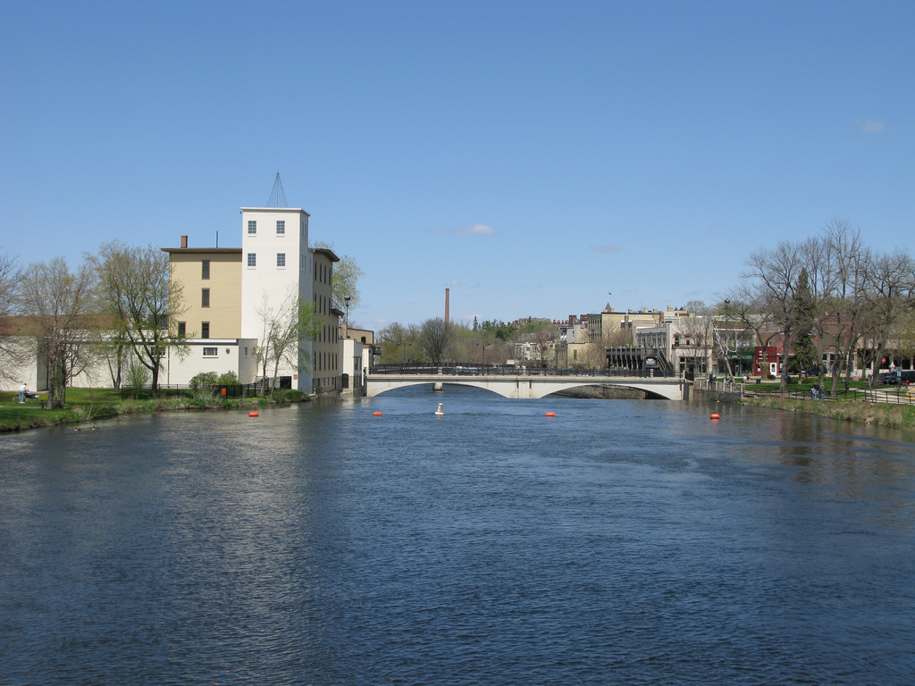
The South Branch Middle Fork Zumbro River is a scenic waterway in southeastern Minnesota, flowing northward through Dodge and Olmsted counties before joining the main stem of the Zumbro River. This tributary is part of the larger Zumbro River watershed, which ultimately drains into the Mississippi River. Paddling opportunities on the South Branch Middle Fork range from beginner-friendly stretches to more challenging sections requiring moderate skills. The river offers a mix of calm flatwater and lively currents, with occasional minor rapids and snags to navigate. Popular paddling routes include the 8.5-mile stretch from Mantorville to Oxbow Park and the 5-mile section from 90th Street NE near Rochester to Lake Zumbro. The overall difficulty ranges from Class I to II, making it suitable for paddlers with some river experience. Novice paddlers should stick to calmer sections, while those with more skills can tackle the livelier stretches.
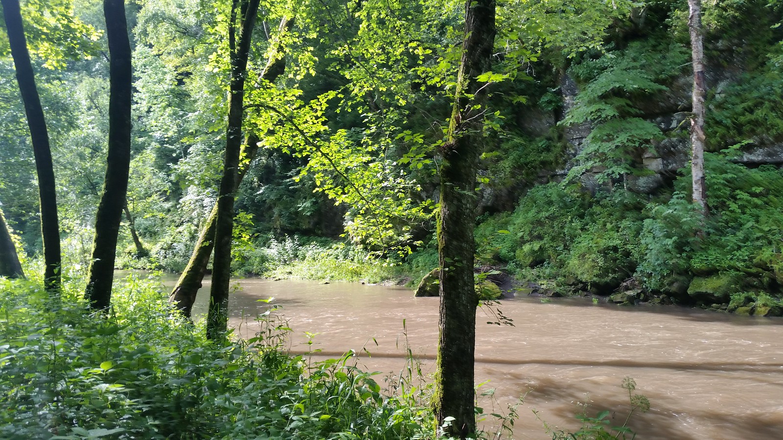
Water levels greatly impact paddling conditions, with ideal levels typically occurring in late spring and early summer. The river corridor supports diverse wildlife, including eagles, hawks, deer, cranes, and various waterfowl. Paddlers can enjoy scenic views of wooded banks, occasional sandstone cliffs, and wildflower-dotted landscapes in spring and fall. Key landmarks include the historic town of Mantorville, Oxbow Park, and Lake Zumbro - a 600-acre reservoir created by a hydroelectric dam. The river passes through a mix of rural and semi-urban landscapes, offering a unique blend of natural beauty and glimpses of local communities.
Primary access points include Mantorville Park, 90th Street NE bridge near Rochester, and Lake Zumbro Park. These put-ins and take-outs are conveniently located near small towns and the city of Rochester, making logistics manageable for day trips or longer excursions. The Zumbro River system, including this branch, holds cultural significance as an important waterway for early settlers and Native American tribes. Today, it serves as a valuable recreational resource for the region.
Paddlers should be aware of potential hazards such as strainers, low-head dams, and fluctuating water levels. It's essential to check current conditions and water levels before embarking on any trip. Multi-day adventures are possible by combining sections or continuing onto the main Zumbro River, with primitive camping available at designated sites along the water trail.
Curated routes
Hand-picked by the PaddleWays team, with put-ins, take-outs, paddle times and the hazards along the way.
RouteClass II–III
RouteClass I–II
Hazards
No paddler has reported a hazard here yet, so these are the dams, falls and big rapids on our map. Hazards change with flows and storms, so check them before you launch.
From the community
Nobody has shared a trip on South Branch Middle Fork Zumbro River yet. Paddle it, then tell the next paddler how it went.
See exactly where the public can get on and off the river. Launch points and boat ramps are paired with PaddleWays' public land data so you know where you can legally land.
Public shoreline
1%of the river's shoreline is public
Most of the riverbank is private. Launch, land and camp only at public access points.
Flows, weather and a route-by-route verdict, so you know which stretch of the South Branch Middle Fork Zumbro River is worth paddling today.
No forecast data available.
Live flows, marked hazards and fresh trip reports from paddlers who were just on the water, all in one place.





Every user gets free access to launch points, boat ramps, and public property parcels.
Loading popular cities...
PaddleWays gives you everything you need to plan smarter, paddle better, and own every trip from first launch to takeout.