Diamond Lake
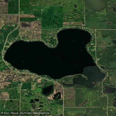
Diamond Lake
- Boat Ramps
- 2
- Access Points
- 2
- Campsites
- 1
Diamond Lake is a 1,610-acre lake located in Kandiyohi County, Minnesota, approximately four miles northwest of Atwater and six miles southeast of Spicer. The lake offers paddlers a substantial area to explore with a maximum depth of 27 feet and a generally accessible shoreline.
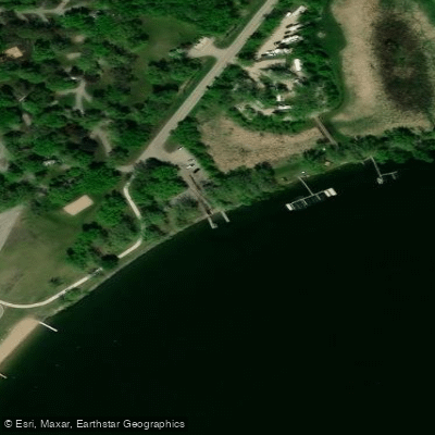
**Access and Launch Points** Diamond Lake features two primary public access points: Diamond Lake County Park on the western shore provides a concrete boat ramp, camping facilities, swimming beach, and ample parking, making it the most developed access. A smaller DNR public access is available on the eastern shore. The County Park access is ideal for paddlers seeking amenities and beach facilities.
**Paddling Character** The lake's 1,610 acres provide plenty of room for paddling without feeling crowded, though motorized boat traffic should be expected during summer months, particularly on weekends. The lake maintains good water clarity with a gradual, sandy bottom in many areas. Paddlers can explore various bays and shoreline features, with the western portion near the county park offering protection from prevailing winds.
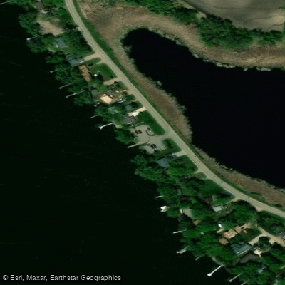
**Wildlife and Scenery** The shoreline features a mix of hardwood trees, wetlands, and some residential development. An aquatic management area along the southern shore provides habitat for waterfowl and other wildlife. The lake supports healthy fish populations including walleye, northern pike, largemouth bass, crappie, and sunfish, occasionally bringing anglers into paddling areas.
**Management and Water Quality** Diamond Lake is actively managed by the Diamond Lake Area Recreation Association, which works to control invasive species like Curly-Leaf Pondweed through targeted chemical treatments. The lake community is engaged in water quality preservation efforts, including shoreline protection and phosphorus reduction programs, contributing to generally favorable paddling conditions.
Water access, boat ramps & amenities
Learn how to get on Diamond Lake. Uncover great paddling access points, boat ramps, and all the facilities you need for an unforgettable day on the water. Some locations shown may border or include private property. Always check property boundaries and applicable regulations before visiting. PaddleWays's Public & Private Land layer can help you plan your access with confidence.
Paddle smarter with real-time insights
Whether you're en route and conditions shift or you're looking for the best spot based on current flows, we enable you to make informed decisions on the fly.








Find Places to Paddle

Over 400,000 Places to Paddle
Every user gets free access to launch points, boat ramps, and public property parcels.


Water and weather conditions (10 day forecast)
See the best times to paddle Diamond Lake and check the forecast before you go.
No forecast data available.
Paddling near Diamond Lake
Sauk River
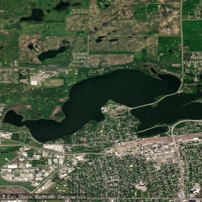
Foot Lake
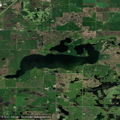
Lake Wakanda
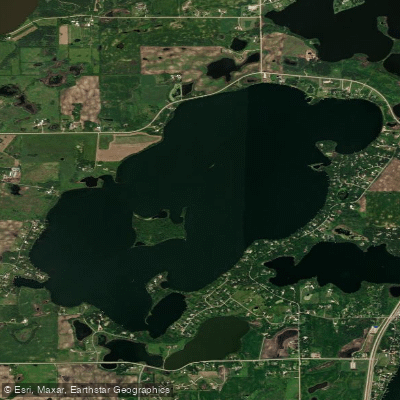
Long Lake
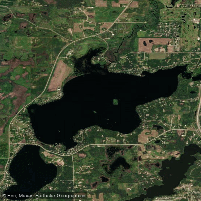
Nest Lake
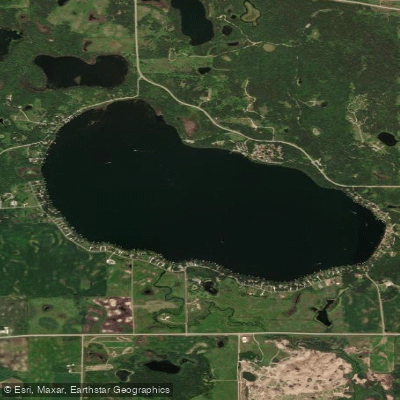
Andrew Lake
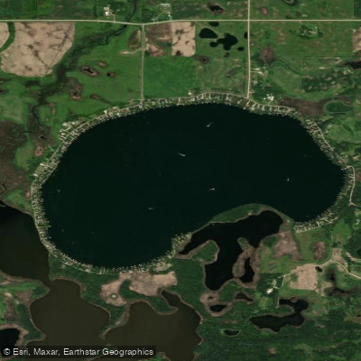
Lake Florida
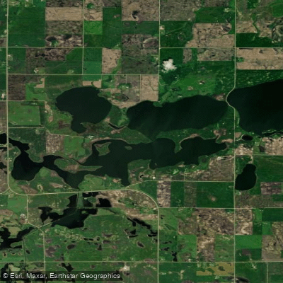
Little Kandiyohi Lake
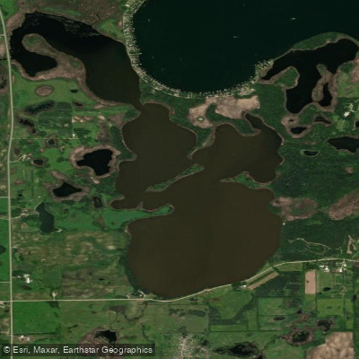
Florida Slough Lake
Explore Minnesota waters
Top paddling waters
Popular Cities
Loading popular cities...
Explore near Diamond Lake
Access points
Nearby waters
More in Minnesota

Smarter Paddling Starts in the App.
Paddleways gives you everything you need to plan smarter, paddle better, and own every trip from first launch to takeout.