Curated by PaddleWays
RouteFlatwater
- Distance
- 3.4 mi
- Paddle time
- Multi-day
- Best for
- Kayak, canoe
- Put-in → take-out
- Shell City Access → Huntersville Access
The Shell River is a scenic waterway in central Minnesota that offers paddlers a peaceful journey through diverse landscapes. Originating near Shell City in Wadena County, the river flows southwest for approximately 30 miles before joining the Crow Wing River. The Shell River forms part of the larger Mississippi River watershed.
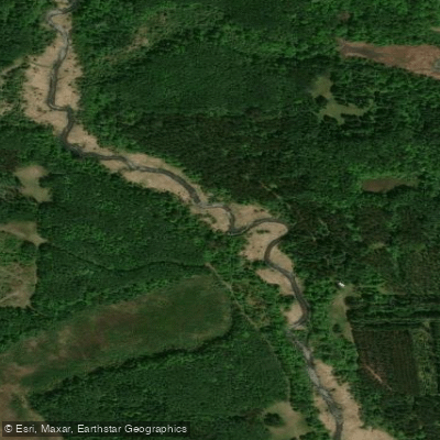
Paddling opportunities on the Shell River cater to novice and intermediate canoeists and kayakers. The most popular section runs 7.3 miles from the Huntersville (N) Carry-in Access to the Mary Brown Rest Area, passing through the picturesque Huntersville State Forest. This stretch features calm flatwater paddling with occasional riffles, surrounded by a mix of lowland vegetation and mixed forest. The river maintains a gentle flow suitable for families and beginners, with no major rapids or technical challenges. However, fallen trees and logjams may require occasional portaging. Water levels are typically best for paddling in spring and early summer.
Wildlife enthusiasts will appreciate the chance to spot bald eagles, ospreys, and various waterfowl along the Shell River's course. The surrounding forest provides habitat for white-tailed deer, black bears, and smaller mammals. Northern pike offer good fishing opportunities in the deeper pools.
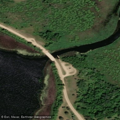
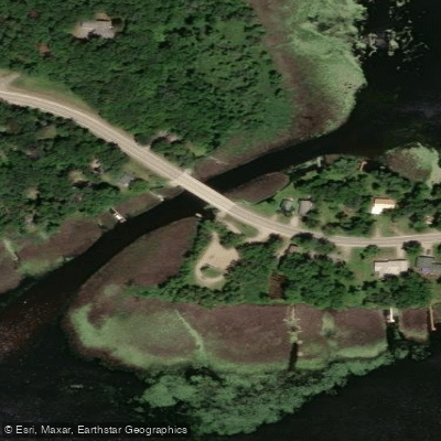
Key landmarks include the Shell City Campground near the river's headwaters, which serves as a popular put-in point for multi-day trips combining the Shell and Crow Wing Rivers. The confluence with the Crow Wing River marks a significant waypoint for paddlers continuing downstream. Primary access points are found at Shell City, Huntersville, and near the Crow Wing River confluence. The nearby towns of Menahga and Park Rapids offer amenities for visitors.
Historically, the Shell River valley was home to Ojibwe communities and later saw the development of logging operations in the late 19th century. Today, the river corridor preserves much of its natural character while providing recreational opportunities. Paddlers should be aware of potential deadfall obstacles and practice leave-no-trace principles. Multi-day trips are possible by combining the Shell River with the longer Crow Wing River route, allowing for an extended wilderness experience through the heart of Minnesota's lake country.
Curated routes
Hand-picked by the PaddleWays team, with put-ins, take-outs, paddle times and the hazards along the way.
RouteFlatwater
Route
Hazards
No hazards are marked on Shell River yet. That is not the same as none being there: if you find one, report it for the next paddler.
From the community
Nobody has shared a trip on Shell River yet. Paddle it, then tell the next paddler how it went.
See exactly where the public can get on and off the river. Launch points and boat ramps are paired with PaddleWays' public land data so you know where you can legally land.
Public shoreline
16%of the river's shoreline is public
Most of the riverbank is private. Launch, land and camp only at public access points.
Flows, weather and a route-by-route verdict, so you know which stretch of the Shell River is worth paddling today.
No forecast data available.
Live flows, marked hazards and fresh trip reports from paddlers who were just on the water, all in one place.





Every user gets free access to launch points, boat ramps, and public property parcels.
Loading popular cities...
PaddleWays gives you everything you need to plan smarter, paddle better, and own every trip from first launch to takeout.