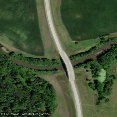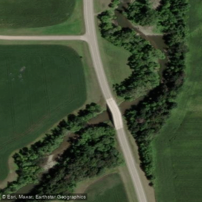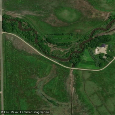
Curated by PaddleWays
RouteFlatwater
- Distance
- 20.6 mi
- Paddle time
- ~7 hrs
- Put-in → take-out
- Hanley Falls Access → Minnesota River, Skalbekken Public Water Access Site
The Yellow Medicine River is a significant tributary of the Minnesota River, flowing approximately 107 miles through southwestern Minnesota. Originating in Lincoln County, the river flows generally eastward before joining the Minnesota River near Granite Falls. The Yellow Medicine watershed covers about 665 square miles, primarily in Yellow Medicine, Lyon, and Lincoln counties.
Paddling opportunities on the Yellow Medicine River range from calm flatwater sections to exciting whitewater runs, making it a versatile destination for canoeists and kayakers of varying skill levels. The river is best known for its lower sections, which offer some of Minnesota's finest whitewater paddling when conditions are right. The most popular paddling route is the 10-mile stretch from the Minnesota Highway 274 (Wood Lake Road) bridge to the confluence with the Minnesota River at Upper Sioux Agency State Park. This section features frequent Class I-II rapids and boulder-bed features, providing an exhilarating experience for intermediate paddlers comfortable with Class II whitewater. The final miles through Upper Sioux Agency State Park offer scenic views and a mix of woodlands, wetlands, and prairie landscapes.
For a longer, more relaxed paddle, the 18.8-mile section from Hanley Falls to the Minnesota River confluence offers a wilderness experience with opportunities to spot wildlife such as bald eagles, deer, and otters. This stretch is primarily flatwater, suitable for beginners and families. The best paddling seasons are typically spring and early summer when water levels are higher. However, water levels can significantly affect the character of the run, especially in the whitewater sections. At higher flows (around 800 cfs and above), some features may wash out while others become more challenging.
Key access points include the put-in at Minnesota Highway 274 bridge near Wood Lake, Upper Sioux Agency State Park, and the take-out at the Minnesota River confluence. The nearby town of Granite Falls serves as a convenient base for paddlers exploring the river.
The Yellow Medicine River holds cultural significance for the Dakota people, and its valley contains important archaeological sites. Upper Sioux Agency State Park, while recently closed to the public, historically provided interpretive information about the area's Native American history.
Safety considerations include checking water levels before paddling, as they can change rapidly. Paddlers should be prepared for remote stretches with limited cell phone coverage. Multi-day trips are possible by combining different sections of the Yellow Medicine with portions of the Minnesota River, offering an extended adventure through the diverse landscapes of southwestern Minnesota.
Curated routes
Hand-picked by the PaddleWays team, with put-ins, take-outs, paddle times and the hazards along the way.
RouteFlatwater
Hazards
No paddler has reported a hazard here yet, so these are the dams, falls and big rapids on our map. Hazards change with flows and storms, so check them before you launch.
From the community
Nobody has shared a trip on Yellow Medicine River yet. Paddle it, then tell the next paddler how it went.
See exactly where the public can get on and off the river. Launch points and boat ramps are paired with PaddleWays' public land data so you know where you can legally land.
Public shoreline
2%of the river's shoreline is public
Most of the riverbank is private. Launch, land and camp only at public access points.
Flows, weather and a route-by-route verdict, so you know which stretch of the Yellow Medicine River is worth paddling today.
Live flows, marked hazards and fresh trip reports from paddlers who were just on the water, all in one place.





Every user gets free access to launch points, boat ramps, and public property parcels.
Loading popular cities...
PaddleWays gives you everything you need to plan smarter, paddle better, and own every trip from first launch to takeout.