Bowman Creek
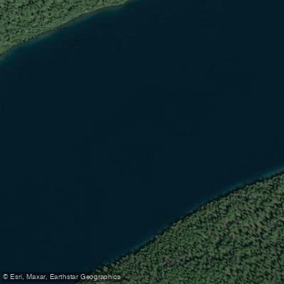
Bowman Creek
- Boat Ramps
- 1
- Access Points
- 3
- Campsites
- 15
Bowman Creek originates from Bowman Lake in the northwestern corner of Glacier National Park, flowing through the remote backcountry of Flathead County, Montana. This cold, clear mountain stream drains a pristine alpine watershed before eventually joining the North Fork Flathead River system. The creek descends from approximately 4,030 feet elevation at the lake outlet, carving through dense coniferous forests and glacially-carved terrain characteristic of this section of the Northern Rockies.
The creek's flow is primarily fed by snowmelt and glacial runoff from the surrounding peaks, creating a seasonal pattern with peak flows typically occurring from late May through early July. By late summer and fall, water levels drop considerably, though the stream maintains year-round flow.
The watershed remains largely undeveloped, with access limited to the unpaved Bowman Lake Road that extends from the small community of Polebridge. Bowman Creek flows through habitat supporting grizzly bears, black bears, wolves, and elk, reflecting the wild character of this corner of Glacier National Park. The surrounding forests consist primarily of lodgepole pine, spruce, and fir, with riparian zones along the creek featuring willow and alder thickets. Cutthroat trout inhabit the cold waters, though fishing regulations within the park apply.
Access to Bowman Creek is primarily via the Bowman Lake Campground, located near the creek's outlet from the lake. This National Park Service facility provides the main staging area for visitors to the area. The nearest supply point is Polebridge, roughly 6 miles from the lake via rough dirt road, while the larger town of Columbia Falls lies approximately 60 miles to the south.
The creek and surrounding area hold significance within the broader Glacier National Park landscape, representing some of the most remote and least-visited terrain in the park. The Bowman Lake area was historically used by Native American tribes for hunting and gathering, and later by trappers and prospectors in the late 19th century.
Visitors should be prepared for bear encounters and practice proper food storage protocols required in Glacier National Park. The remote location means emergency services are distant, and cell phone coverage is nonexistent. All National Park Service regulations apply, including backcountry permits for overnight trips and adherence to Leave No Trace principles. The challenging road access limits RV and trailer use, as noted by park guidance.
Water access, boat ramps & amenities
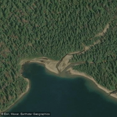
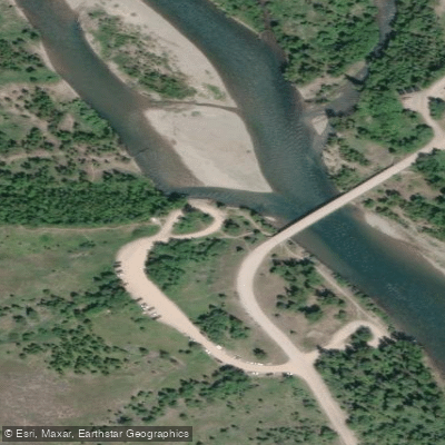
Learn how to get on Bowman Creek. Uncover great paddling access points, boat ramps, and all the facilities you need for an unforgettable day on the water. Some locations shown may border or include private property. Always check property boundaries and applicable regulations before visiting. PaddleWays's Public & Private Land layer can help you plan your access with confidence.
Paddle smarter with real-time insights
Whether you're en route and conditions shift or you're looking for the best spot based on current flows, we enable you to make informed decisions on the fly.








Find Places to Paddle

Over 400,000 Places to Paddle
Every user gets free access to launch points, boat ramps, and public property parcels.


Water and weather conditions (10 day forecast)
See the best times to paddle Bowman Creek and check the forecast before you go.
No forecast data available.
Paddling near Bowman Creek
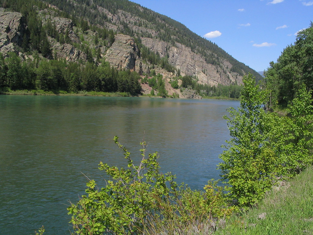
Flathead River
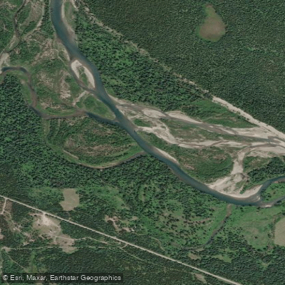
North Fork Flathead River
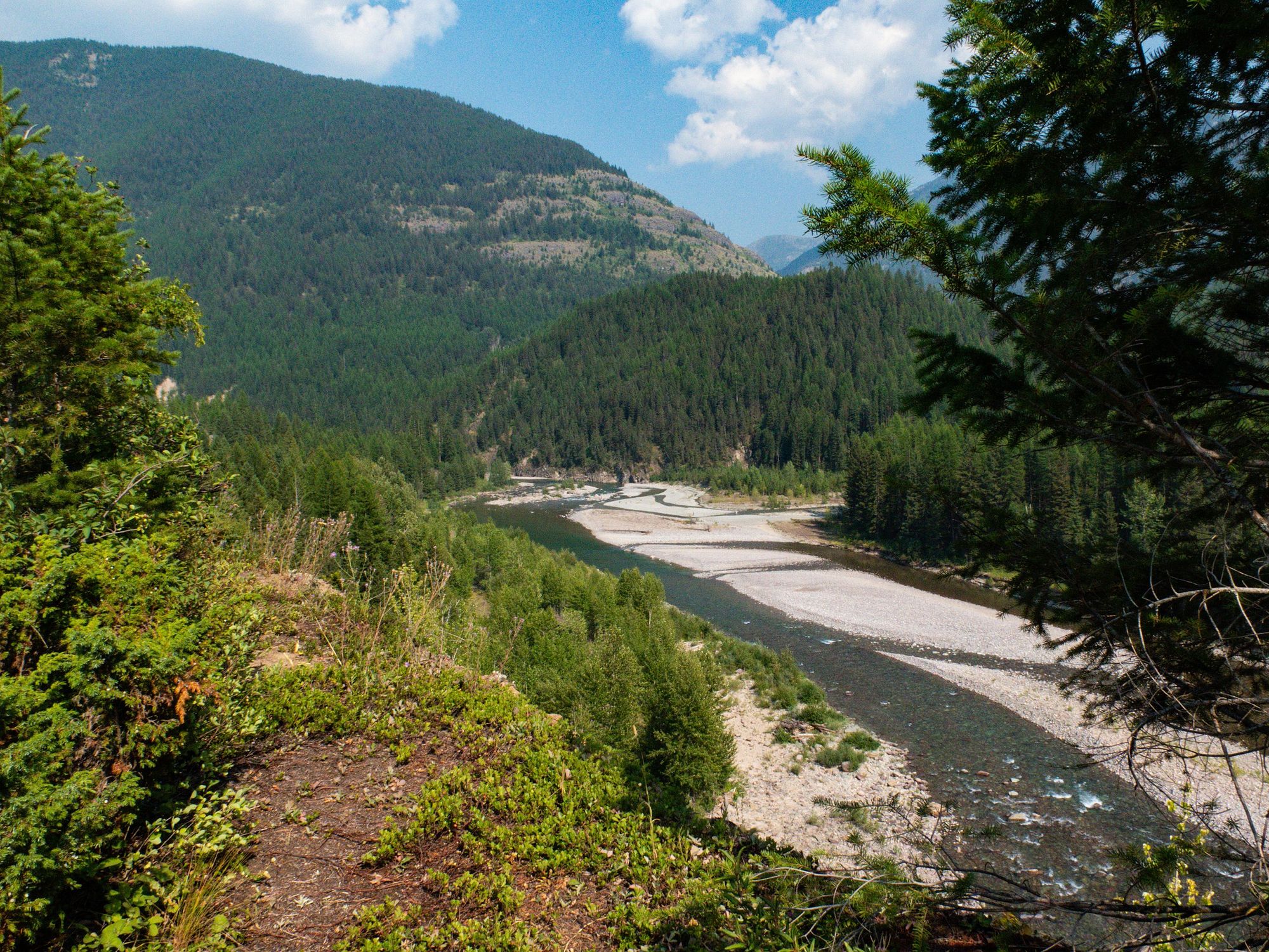
Middle Fork Flathead River
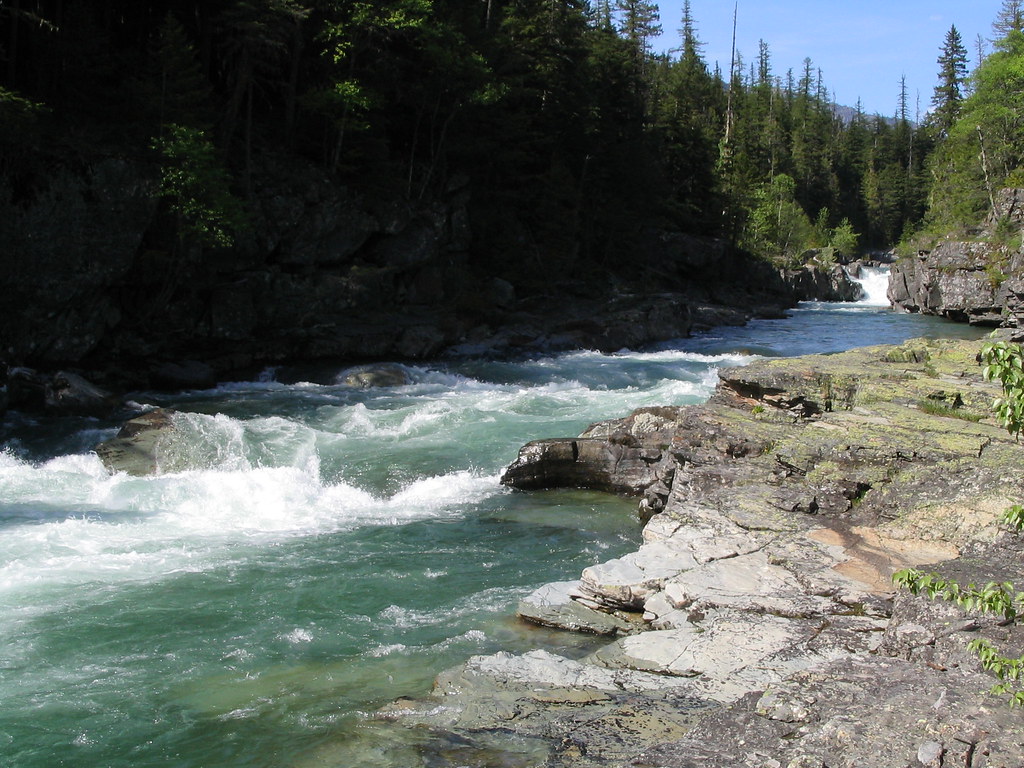
McDonald Creek
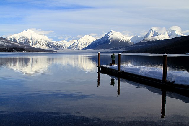
Lake McDonald
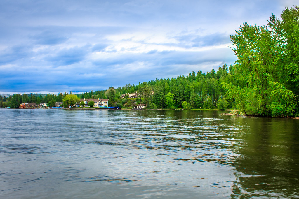
Flathead Lake
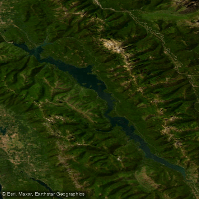
Hungry Horse Reservoir
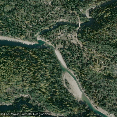
South Fork Flathead River
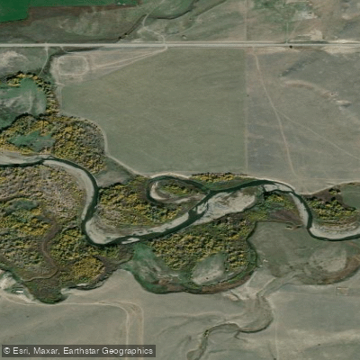
Two Medicine River
Logging Creek
Explore Montana waters
Top paddling waters
Popular Cities
Loading popular cities...
Explore near Bowman Creek
Access points
Nearby waters
More in Montana

Smarter Paddling Starts in the App.
Paddleways gives you everything you need to plan smarter, paddle better, and own every trip from first launch to takeout.