Curated by PaddleWays
RouteClass III–V
- Distance
- 8.8 mi
- Paddle time
- ~2 hrs
- Best for
- Experienced paddlers
- Put-in → take-out
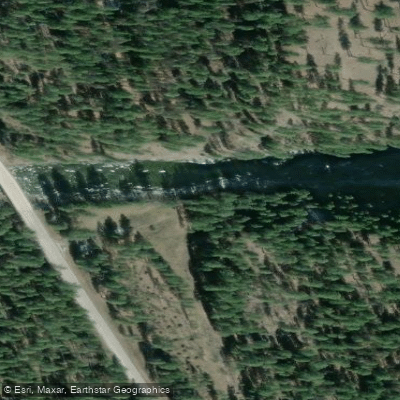
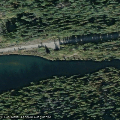
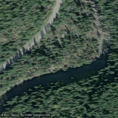
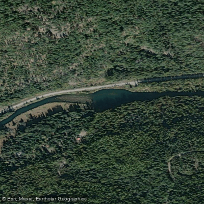
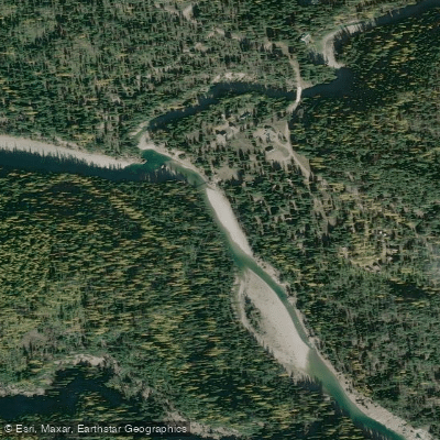
- Yaak Falls Campground → Yaak River Boat Ramp
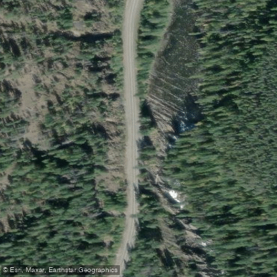
Stone Chest rapid portage difficult above 6 feet
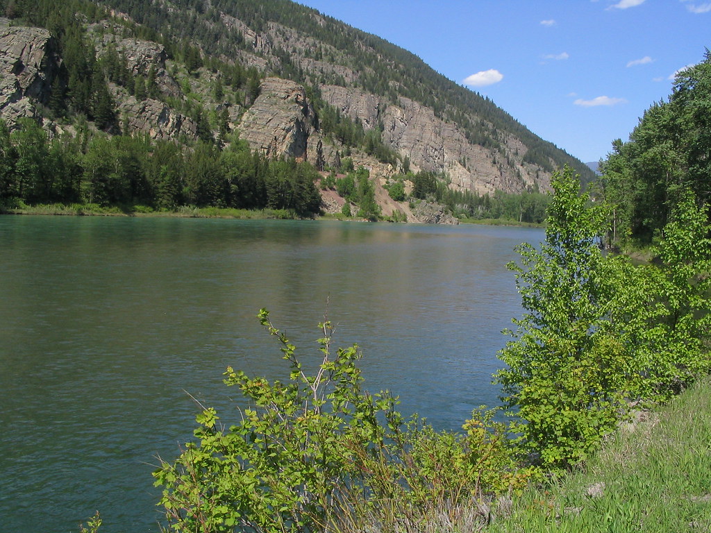
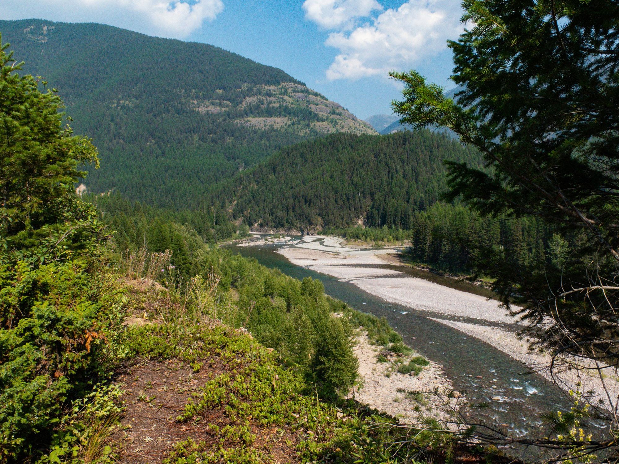
The Yaak River is a wild and remote waterway in northwestern Montana, originating in the Purcell Mountains near the Canadian border. It flows south for approximately 50 miles through the Kootenai National Forest before joining the Kootenai River near Troy, Montana. The river drains a 195,000-acre watershed characterized by dense forests, steep terrain, and minimal development.
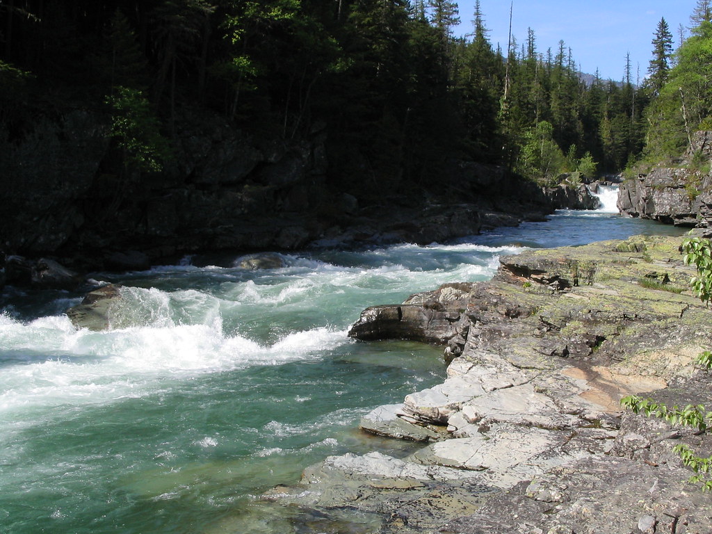
Paddling opportunities on the Yaak range from calm floats to challenging whitewater. The upper reaches offer scenic Class I-II waters suitable for canoes and kayaks. The most popular whitewater section runs 16 miles from Spread Creek to Yaak Falls, featuring Class II-III rapids that provide an excellent introduction to the river's character. Below Yaak Falls, expert kayakers can test their skills on a 5-10 mile stretch of Class III-V whitewater through a narrow gorge with steep drops and technical rapids like Stone Chest and Good to the Last Drop.
The Yaak's flow is heavily influenced by snowmelt, with the best paddling typically from late May through July. Later season trips may encounter low water levels. The river's remote nature and cold water demand self-sufficiency and proper safety gear.
Wildlife is abundant along the Yaak, with opportunities to spot elk, deer, moose, black bears, and a variety of bird species. The watershed supports one of the last remaining grizzly bear populations in the lower 48 states.
Key access points include the Yaak River Base Camp, which offers short trips and rentals, and various Forest Service campgrounds. The small community of Yaak provides limited services. Troy is the nearest sizeable town.
The Yaak Valley has a rich history of logging, homesteading, and conservation efforts. Today, it remains one of Montana's most pristine and least-visited river corridors, offering solitude and adventure for those willing to explore its wild waters. Multi-day trips are possible by combining river sections or incorporating hikes in the surrounding Kootenai National Forest. Paddlers should be aware of private property along portions of the river and respect landowner rights.
Curated routes
Hand-picked by the PaddleWays team, with put-ins, take-outs, paddle times and the hazards along the way.
RouteClass III–V
RouteClass II–III
Hazards
No paddler has reported a hazard here yet, so these are the dams, falls and big rapids on our map. Hazards change with flows and storms, so check them before you launch.
From the community
Nobody has shared a trip on Yaak River yet. Paddle it, then tell the next paddler how it went.
See exactly where the public can get on and off the river. Launch points and boat ramps are paired with PaddleWays' public land data so you know where you can legally land.
Public shoreline
59%of the river's shoreline is public
Flows, weather and a route-by-route verdict, so you know which stretch of the Yaak River is worth paddling today.
Live flows, marked hazards and fresh trip reports from paddlers who were just on the water, all in one place.





Every user gets free access to launch points, boat ramps, and public property parcels.
Loading popular cities...
PaddleWays gives you everything you need to plan smarter, paddle better, and own every trip from first launch to takeout.