Cedar River
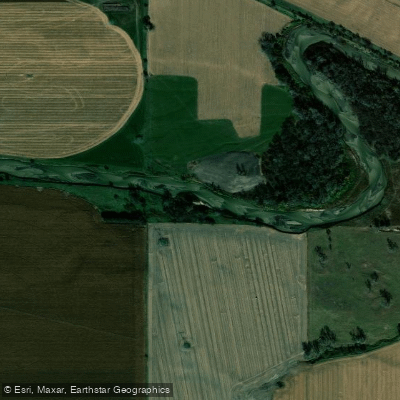
Cedar River
- Boat Ramps
- 1
- Access Points
- 7
- Campsites
- 0
The Cedar River is a scenic waterway that flows through north central Nebraska, offering paddlers a serene journey through the state's diverse landscape. This Class I river winds its way through an area characterized by hills with moderate to steep slopes, sharp ridge crests, and remnants of old, nearly level plains that have been shaped by water and wind erosion over time.
The Cedar River Canoe Trail provides several popular paddling sections, each offering unique experiences. From Spalding to Fullerton, paddlers can enjoy a series of day trips or combine them for a multi-day adventure. The river is generally calm and suitable for beginners and families, with occasional riffles adding a touch of excitement.
Typical sections include Spalding to Primrose (14 miles), Primrose to Cedar Rapids (10.5 miles), Cedar Rapids to Belgrade (13 miles), and Belgrade to Fullerton (12.5 miles). These stretches usually take between 3.5 to 7 hours to complete, depending on water levels and paddling speed. The entire trail from Spalding to Fullerton covers approximately 50 river miles, making it an excellent option for a multi-day trip.
The best time to paddle the Cedar River is typically late spring through early fall when water levels are most favorable. However, paddlers should always check current conditions, as low water levels can significantly impact travel times, especially in late summer. During periods of low water, some stretches may require more time and effort to navigate.
Wildlife enthusiasts will appreciate the opportunity to observe various bird species and other animals that call the river corridor home. The surrounding landscape transitions from agricultural fields to more wooded areas, providing a diverse backdrop for your journey.
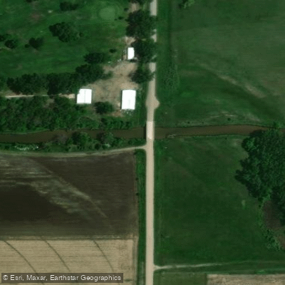
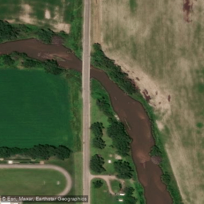
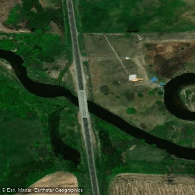
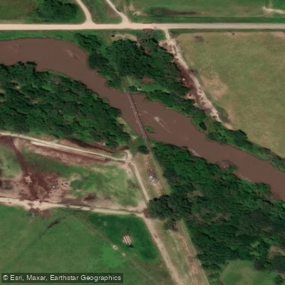
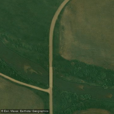
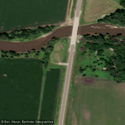
Access points are available at several bridges and towns along the route, including Spalding, Primrose, Cedar Rapids, Belgrade, and Fullerton. These communities offer opportunities to resupply or take a break from paddling. When launching, be prepared for a short walk (40 to 60 yards) from parking areas to the water at some access points.
Historically, the Cedar River Valley was home to the Pawnee Indians before they were relocated to Oklahoma in the late 19th century. Today, the river serves as a reminder of the region's rich cultural heritage and the importance of water resources in Nebraska's development.
Safety considerations include being aware of potential fences across the river, especially in agricultural areas. Paddlers should also be prepared for changing weather conditions and bring appropriate gear, including sun protection and plenty of water.
For those looking to extend their adventure, the Cedar River offers excellent opportunities for multi-day trips. Paddlers can camp at designated sites along the river or arrange lodging in nearby towns. The full 50-mile journey from Spalding to Fullerton provides a comprehensive experience of this beautiful Nebraska waterway.
Whether you're seeking a short day trip or an extended river journey, the Cedar River offers a peaceful paddling experience through the heart of Nebraska's scenic countryside. Its gentle current and picturesque surroundings make it an ideal destination for paddlers of all skill levels looking to explore the natural beauty of the Cornhusker State.
Water access, boat ramps & amenities
Learn how to get on Cedar River. Uncover great paddling access points, boat ramps, and all the facilities you need for an unforgettable day on the water. Some locations shown may border or include private property. Always check property boundaries and applicable regulations before visiting. PaddleWays's Public & Private Land layer can help you plan your access with confidence.
Paddle smarter with real-time insights
Whether you're en route and conditions shift or you're looking for the best spot based on current flows, we enable you to make informed decisions on the fly.








Find Places to Paddle

Over 400,000 Places to Paddle
Every user gets free access to launch points, boat ramps, and public property parcels.


Water and weather conditions (10 day forecast)
See the best times to paddle Cedar River and check the forecast before you go.
Cedar River near Spalding
Paddling near Cedar River
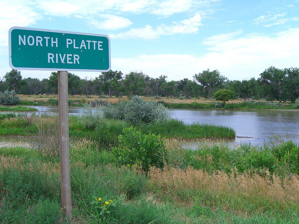
Platte River
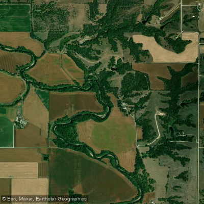
Big Blue River
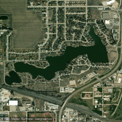
Lake Hastings
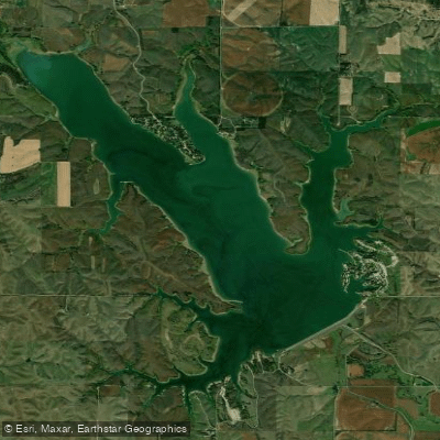
Sherman Reservoir
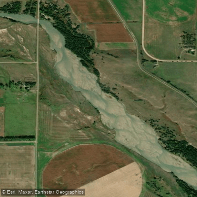
Middle Loup River
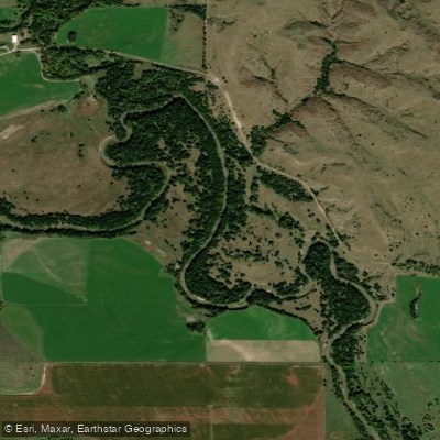
South Loup River
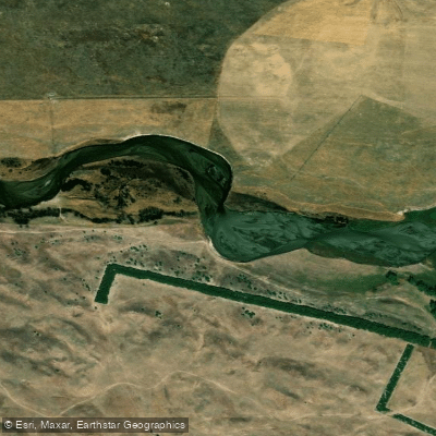
North Loup River
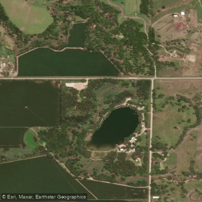
West Fork Big Blue River
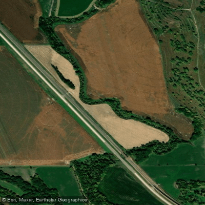
Mud Creek
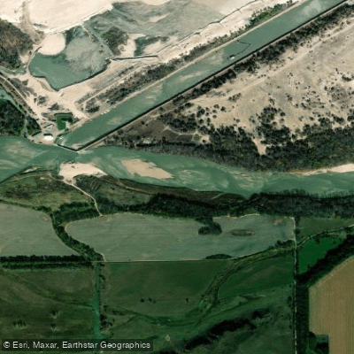
Loup River
Explore Nebraska waters
Top paddling waters
Popular Cities
Loading popular cities...
Explore near Cedar River
Access points
Nearby waters
More in Nebraska

Smarter Paddling Starts in the App.
Paddleways gives you everything you need to plan smarter, paddle better, and own every trip from first launch to takeout.