Lovewell Reservoir
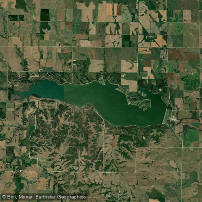
Lovewell Reservoir
- Boat Ramps
- 4
- Access Points
- 4
- Campsites
- 0
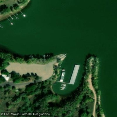
Lovewell Reservoir is a 2,987-acre lake located in Jewell County, Kansas. The reservoir has a maximum depth of 35 feet and offers opportunities for boating, kayaking, and fishing. Access is available via Lovewell State Park on the north shore, which provides boat ramps and a marina.
The lake is home to a variety of fish species including walleye, white bass, crappie, channel catfish, and wipers. Anglers should be aware of a 35-inch minimum length limit on blue catfish. Wildlife around the reservoir includes deer, pheasants, quail, rabbits, and turkeys.
Paddlers should exercise caution, as the reservoir can experience harmful algal blooms. As of the most recent report, Lovewell was under a harmful algae watch. Check current advisories before planning a trip. Water temperatures typically reach the mid-70s Fahrenheit in summer.
The reservoir features several points of interest, including Walleye Point, Cedar Point, and Pawnee Point. These areas offer good fishing opportunities, particularly for blue catfish in the spring. The lake's shape includes river channels, flats, and drop-offs that attract fish.
Lovewell State Park provides amenities such as camping facilities, hiking trails, picnic areas, and a swimming beach. Two large group shelters are available for reservation. The park hosts special events and fishing tournaments throughout the year.
Paddlers should be aware that the reservoir's water level can fluctuate. At full capacity, the surface elevation is 1,583 feet. The surrounding landscape is characterized by the Smoky Hills region of the Great Plains.
Water access, boat ramps & amenities
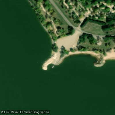
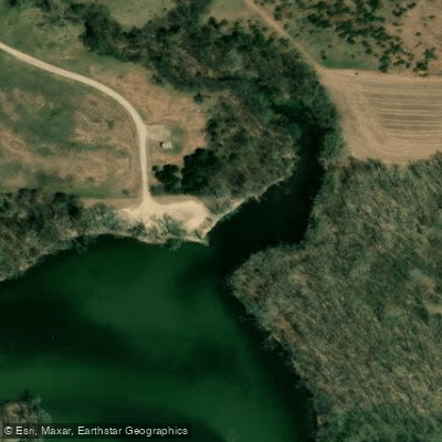
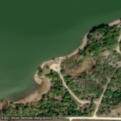
Learn how to get on Lovewell Reservoir. Uncover great paddling access points, boat ramps, and all the facilities you need for an unforgettable day on the water. Some locations shown may border or include private property. Always check property boundaries and applicable regulations before visiting. PaddleWays's Public & Private Land layer can help you plan your access with confidence.
Paddle smarter with real-time insights
Whether you're en route and conditions shift or you're looking for the best spot based on current flows, we enable you to make informed decisions on the fly.








Find Places to Paddle

Over 400,000 Places to Paddle
Every user gets free access to launch points, boat ramps, and public property parcels.


Water and weather conditions (10 day forecast)
See the best times to paddle Lovewell Reservoir and check the forecast before you go.
Lovewell Reservoir and Dam
Paddling near Lovewell Reservoir
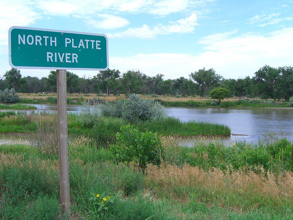
Platte River
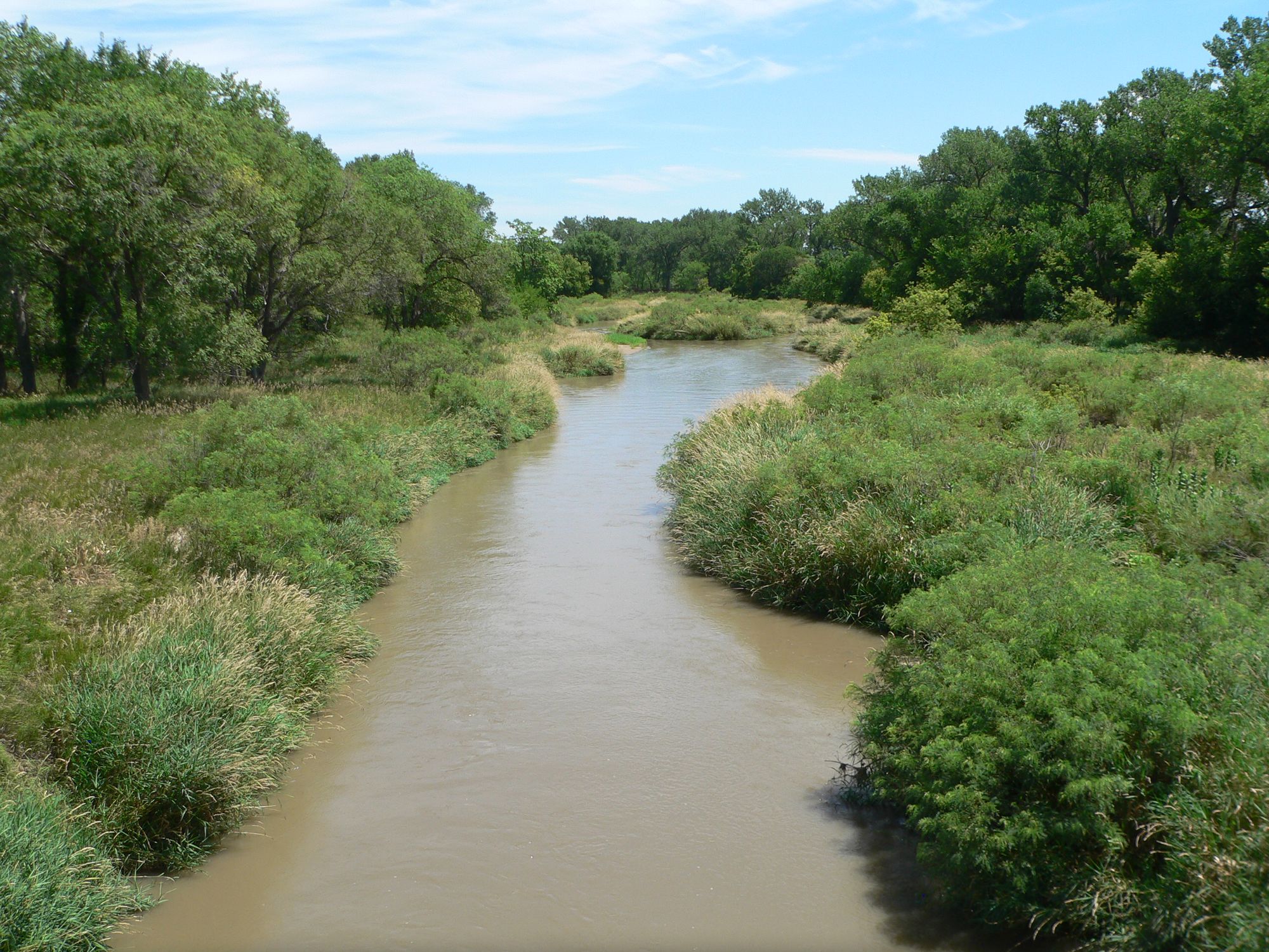
Republican River
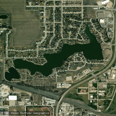
Lake Hastings
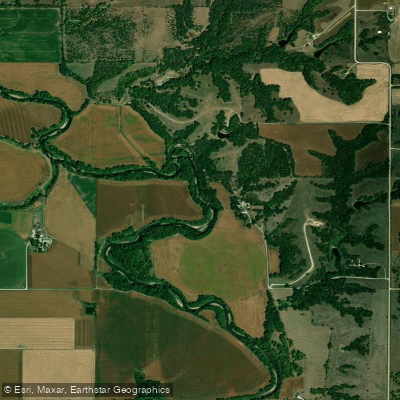
Big Blue River
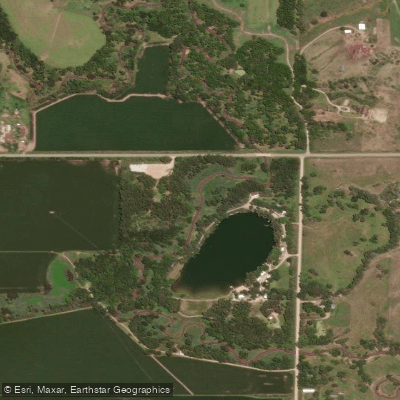
West Fork Big Blue River
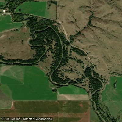
South Loup River
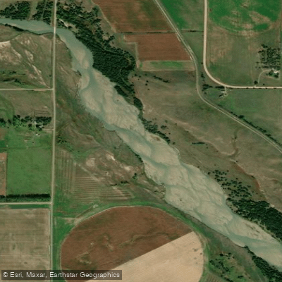
Middle Loup River
Mud Creek
North Loup River
Explore Kansas waters
Top paddling waters
Popular Cities
Loading popular cities...
Explore near Lovewell Reservoir
Access points
- Lovewell-Cedar Point Boat Ramp
- Lovewell-White Rock Boat Ramp
- Lovewell-Oak Point Boat Ramp
- Lovewell-Marina Boat Ramp
- Lovewell Reservoir Bridge
- Trib. To Lovewell Res. Bridge
- White Rock Creek Bridge
- Trib. To Lovewell Res. Bridge
- Trib. To White Rock Ck. Bridge
- White Rock Creek Bridge
- Trib. To White Rock Ck. Bridge
- Trib. To Lovewell Res. Bridge
- All 20 spots
Nearby waters
More in Kansas

Smarter Paddling Starts in the App.
Paddleways gives you everything you need to plan smarter, paddle better, and own every trip from first launch to takeout.