Carson River
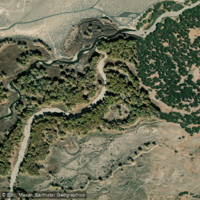
Carson River
- Boat Ramps
- 0
- Access Points
- 4
- Campsites
- 0
The Carson River, flowing through California and Nevada, offers a diverse range of paddling experiences from serene floats to exciting whitewater adventures. This scenic waterway begins in the alpine forests of the Sierra Nevada and winds its way through dramatic canyons before entering the high desert landscape of Nevada.
The river is best known for its East Fork, which provides the most popular paddling opportunities. The main section, from Markleeville, CA to Gardnerville, NV, is a 20-mile stretch of mostly Class II rapids with some II+ sections. This run is ideal for intermediate paddlers and adventurous beginners, offering a perfect blend of excitement and manageable challenges.
The journey takes paddlers through Leviathan Canyon, where they can marvel at impressive rock formations and potentially spot wildlife such as bald eagles. For those seeking a gentler experience, the Carson River Aquatic Trail near Carson City offers a peaceful 3.3-mile float suitable for families and novice paddlers. This Class I-II section from Carson River Park to Morgan Mill Road River Access provides a tranquil 1.5 to 2-hour ride through cottonwood and willow-lined riverbanks.
More experienced paddlers can tackle the Carson River Canyon run, a 14.5-mile Class II-III section from Silver Saddle Ranch to Santa Maria Ranch. This challenging stretch features continuous rapids and passes by historic mills and mines from the Comstock era, adding a cultural dimension to the paddling experience.
The Carson River is primarily a spring and early summer destination, with the best paddling typically from late April through June, depending on snowmelt. Water levels can fluctuate significantly, so it's crucial to check current conditions before embarking on any trip. The minimum recommended flow for most sections is around 400-600 cfs.
One of the unique features of the Carson River is the presence of natural hot springs along certain sections, particularly near Markleeville. These geothermal pools offer a welcome respite for paddlers and are a popular camping spot for multi-day trips.
Wildlife enthusiasts will appreciate the opportunity to spot various species along the river, including wild horses, turtles, and numerous bird species. The river corridor also supports diverse plant life, transitioning from alpine vegetation to high desert flora as it descends in elevation.
Key access points include Hangman's Bridge near Markleeville, Carson River Park in Carson City, and various put-ins and take-outs along the river's course. Nearby towns like Markleeville, Carson City, and Gardnerville provide amenities and services for paddlers.
Safety considerations include being prepared for remote stretches with limited access, potential rapid changes in weather, and the importance of proper equipment for cold water paddling in the spring. Some sections may require permits or have specific regulations, so it's advisable to check with local authorities before planning a trip.
For those looking to extend their adventure, the East Fork Carson offers excellent multi-day trip options, with numerous campsites along the river. These longer journeys allow paddlers to fully immerse themselves in the river's changing landscapes and truly experience the transition from the Sierra Nevada to the Nevada desert.
The Carson River, with its rich history tied to the Comstock Lode and its vital role in the region's ecosystem, offers paddlers not just an outdoor adventure, but a journey through the natural and cultural heritage of the California-Nevada border region.
Water access, boat ramps & amenities
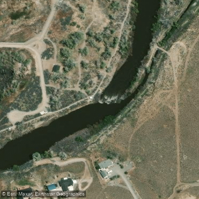
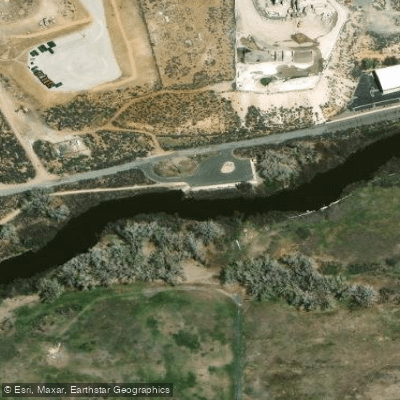
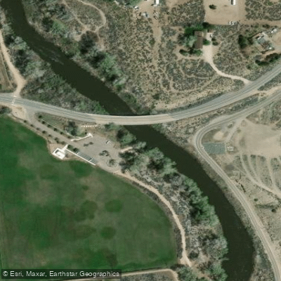
Learn how to get on Carson River. Uncover great paddling access points, boat ramps, and all the facilities you need for an unforgettable day on the water. Some locations shown may border or include private property. Always check property boundaries and applicable regulations before visiting. PaddleWays's Public & Private Land layer can help you plan your access with confidence.
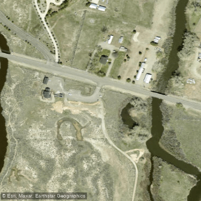
Paddle smarter with real-time insights
Whether you're en route and conditions shift or you're looking for the best spot based on current flows, we enable you to make informed decisions on the fly.








Find Places to Paddle

Over 400,000 Places to Paddle
Every user gets free access to launch points, boat ramps, and public property parcels.


Water and weather conditions (10 day forecast)
See the best times to paddle Carson River and check the forecast before you go.
CARSON RV AT DEER RUN RD NR CARSON CITY, NV
All Flow Stations
Paddling near Carson River
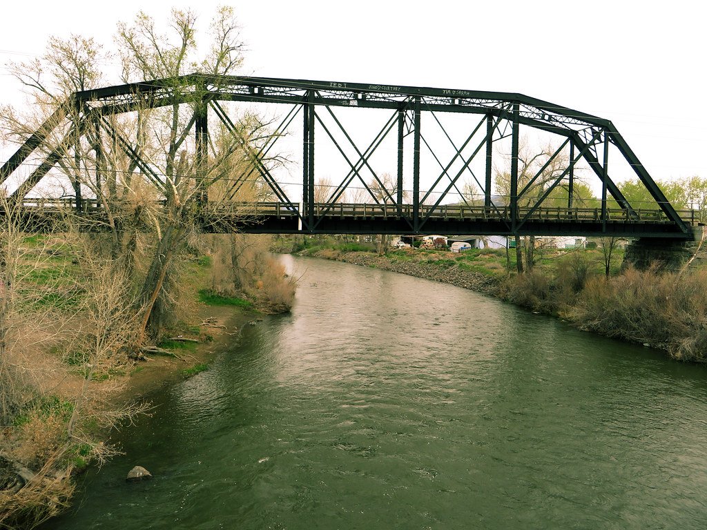
Truckee River
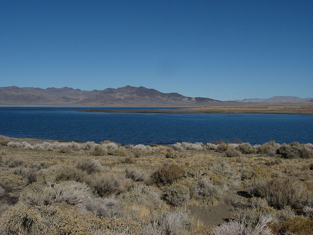
Pyramid Lake
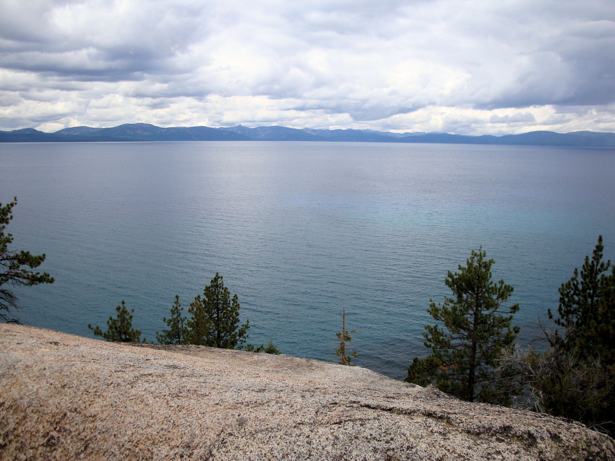
Lake Tahoe
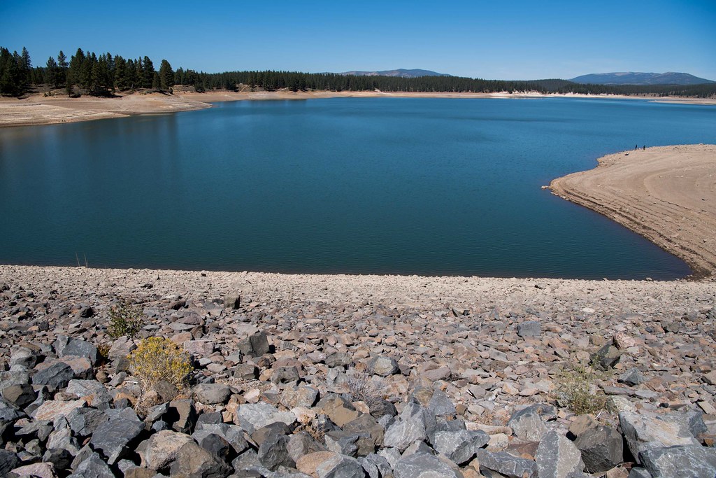
Boca Reservoir
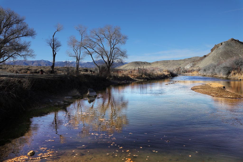
Walker River
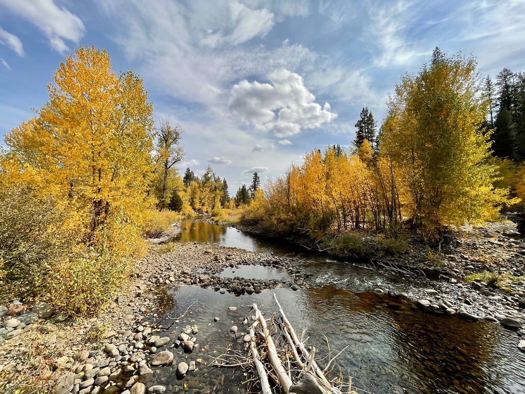
Little Truckee River
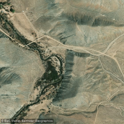
East Walker River
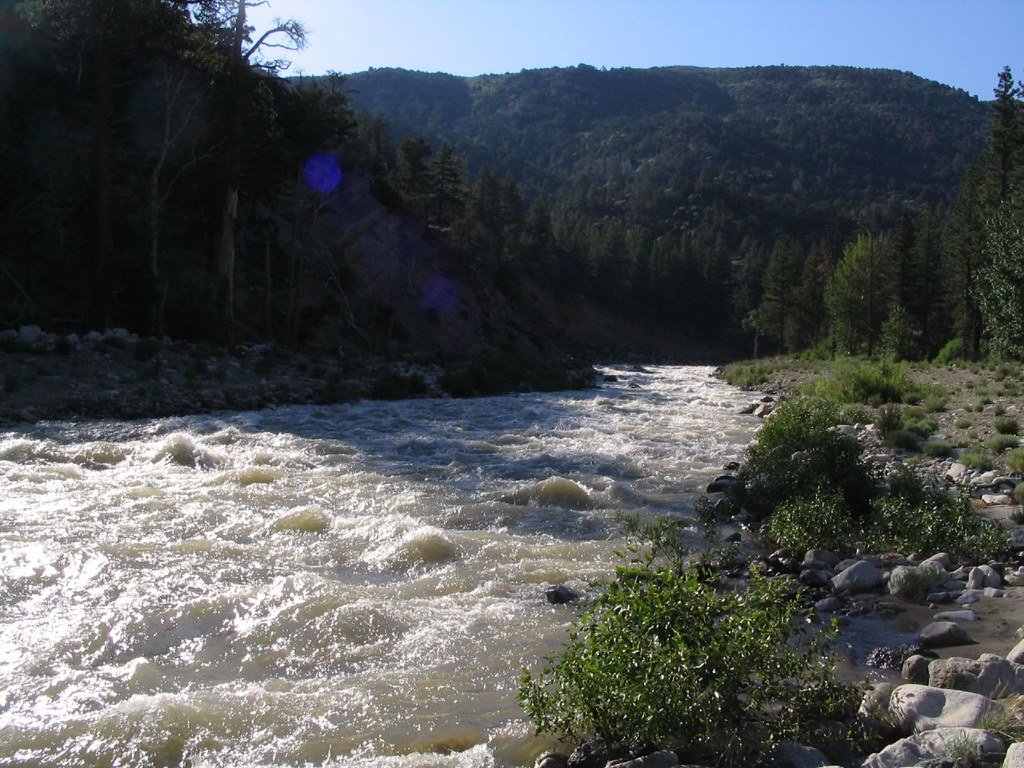
West Walker River
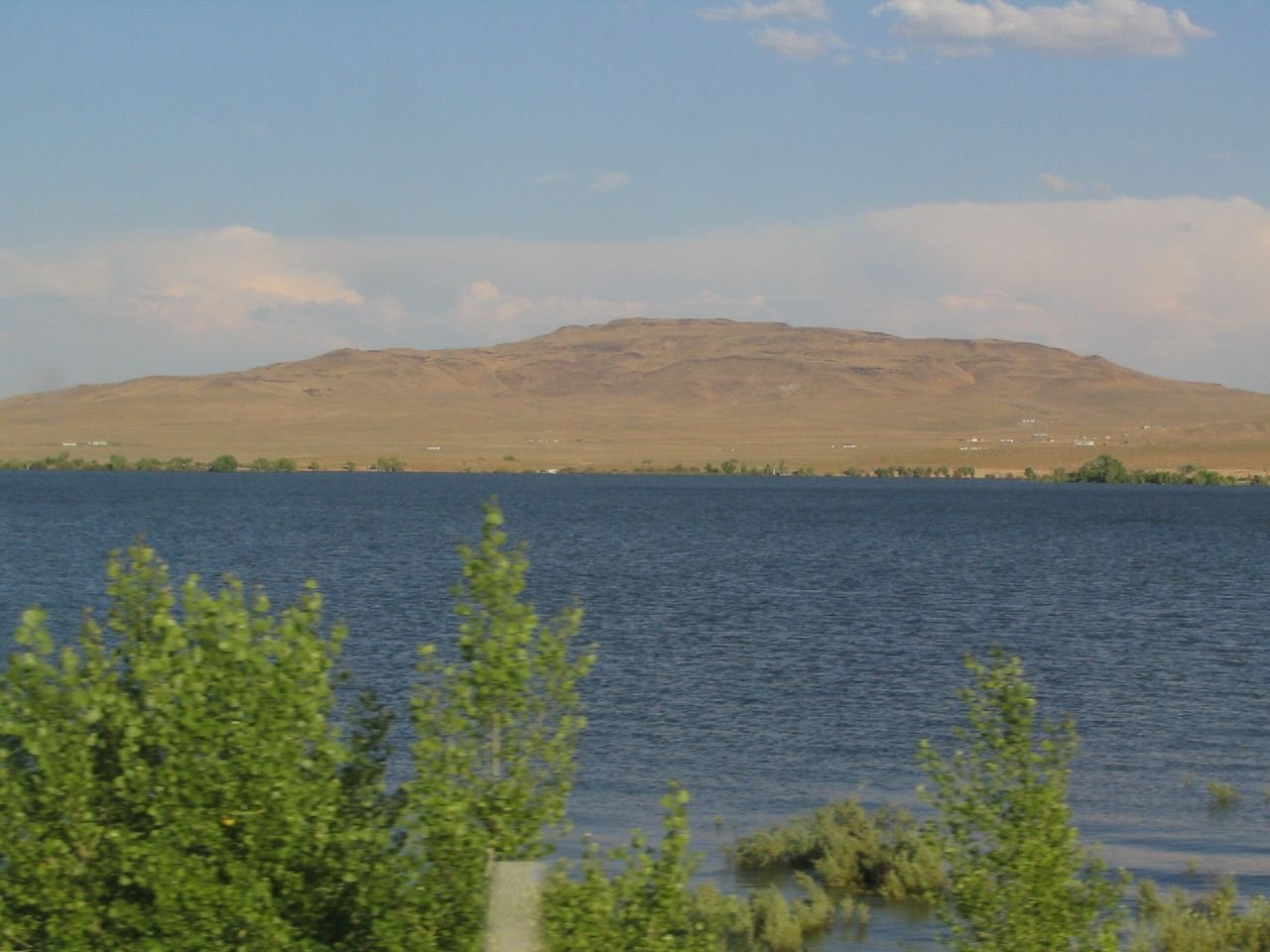
Lahontan Reservoir
Explore Nevada waters
Top paddling waters
Popular Cities
Loading popular cities...
Explore near Carson River
Access points
Nearby waters
More in Nevada

Smarter Paddling Starts in the App.
Paddleways gives you everything you need to plan smarter, paddle better, and own every trip from first launch to takeout.