Lake Tahoe
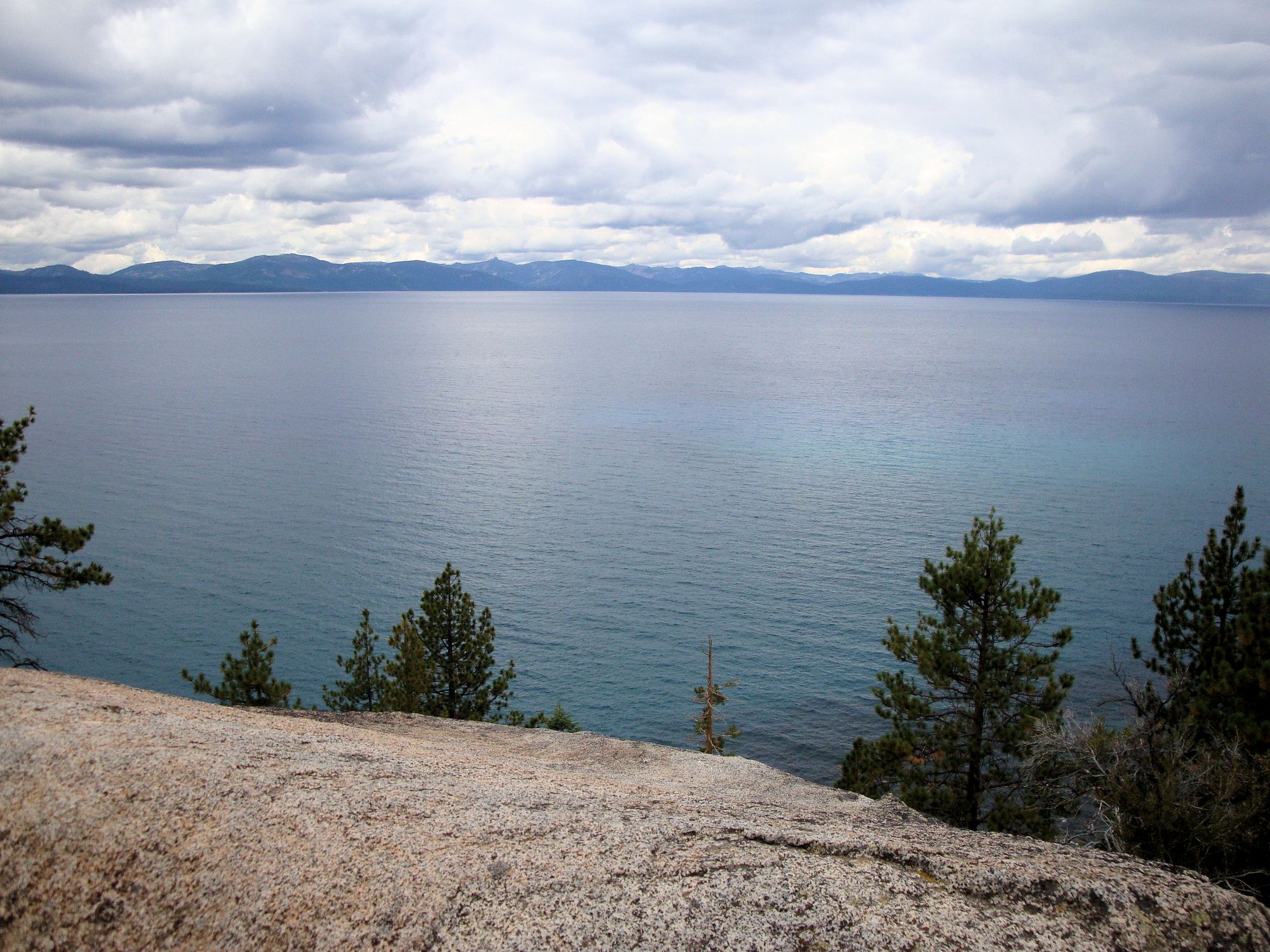
Lake Tahoe
- Boat Ramps
- 19
- Access Points
- 21
- Campsites
- 30
Lake Tahoe, straddling California and Nevada, is one of the largest and deepest alpine lakes in North America. Its crystal-clear waters and stunning mountain backdrop make it a premier paddling destination. The lake offers numerous access points, including popular beaches like Sand Harbor, Kings Beach, and D.L. Bliss State Park. Paddlers can explore 72 miles of shoreline, with highlights including Emerald Bay's turquoise waters and the historic Vikingsholm Castle.
Safety is paramount on Lake Tahoe. The water remains cold year-round, rarely exceeding 65°F even in summer. Winds can change rapidly, creating challenging conditions. All paddlers must carry a life jacket and leash. No-wake zones extend 600 feet from shore, 100 feet from swimmers and paddlers, and 200 feet from structures.
The prime paddling season runs from June through August, though spring and fall offer solitude for experienced paddlers prepared for colder conditions. Early mornings typically provide the calmest waters. Popular day trips include circumnavigating Fannette Island in Emerald Bay or exploring the boulder-strewn shoreline near Cave Rock.
Lake Tahoe is renowned for its exceptional water clarity, often exceeding 70 feet. This clarity, combined with the lake's famous blue hue, creates a mesmerizing paddling experience. Wildlife sightings may include bald eagles, ospreys, and various waterfowl.
Numerous rental facilities and guided tours are available around the lake. Many beaches offer amenities such as restrooms, picnic areas, and parking. Paddlers should be aware that some areas, like Emerald Bay, can become crowded during peak summer months.
Water access, boat ramps & amenities
Learn how to get on Lake Tahoe. Uncover great paddling access points, boat ramps, and all the facilities you need for an unforgettable day on the water. Some locations shown may border or include private property. Always check property boundaries and applicable regulations before visiting. PaddleWays's Public & Private Land layer can help you plan your access with confidence.
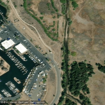
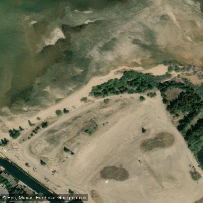
Paddle smarter with real-time insights
Whether you're en route and conditions shift or you're looking for the best spot based on current flows, we enable you to make informed decisions on the fly.








Find Places to Paddle

Over 400,000 Places to Paddle
Every user gets free access to launch points, boat ramps, and public property parcels.


Water and weather conditions (10 day forecast)
See the best times to paddle Lake Tahoe and check the forecast before you go.
THIRD CK NR CRYSTAL BAY, NV
All Flow Stations
Paddling near Lake Tahoe
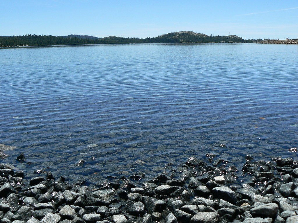
Loon Lake
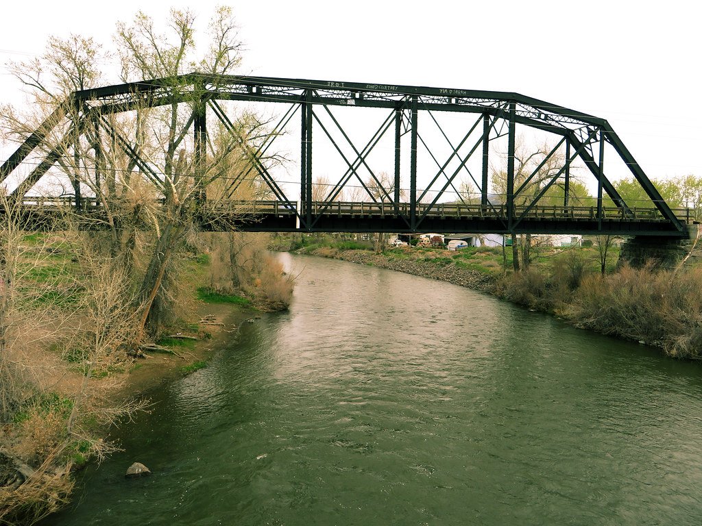
Truckee River

North Fork American River
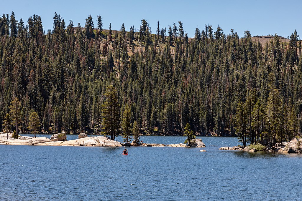
Lake Alpine
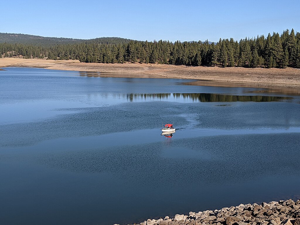
Prosser Creek Reservoir
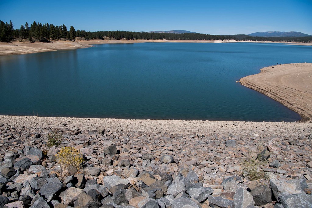
Boca Reservoir
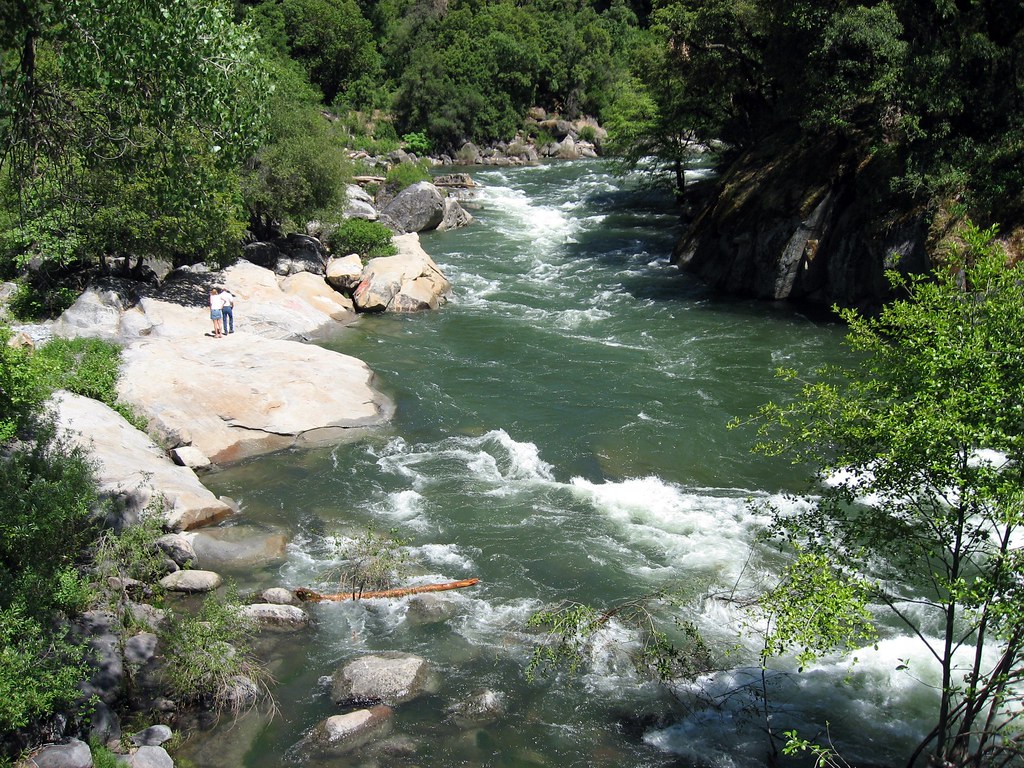
North Fork Mokelumne River
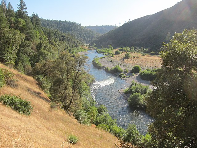
Middle Fork American River
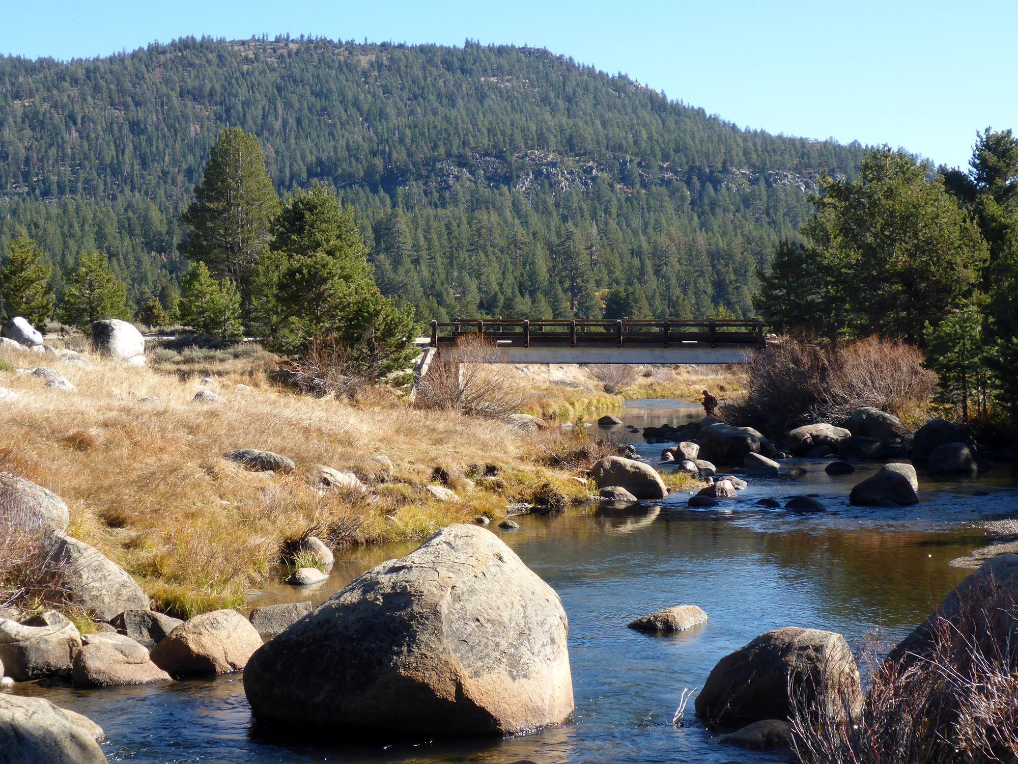
West Fork Carson River
Explore California waters
Top paddling waters
Popular Cities
Loading popular cities...
Explore near Lake Tahoe
Access points
- Tahoe Keys Marina Boat Ramp
- Lake Forest Boat Ramp
- Meeks Bay Resort & Marina Boat Ramp
- Lakeside Marina Boat Ramp
- North Tahoe Marina Boat Ramp
- Tahoe City Marina Boat Ramp
- Kings Beach Boat Ramp
- Sierra Boat Company Boat Ramp
- Camp Richardson Marina Boat Ramp
- Crystal Bay Boat Ramp
- Sunnyside Marina Resort Boat Ramp
- El Dorado Beach Boat Ramp
- All 68 spots
Nearby waters
More in California

Smarter Paddling Starts in the App.
Paddleways gives you everything you need to plan smarter, paddle better, and own every trip from first launch to takeout.