Fourth Connecticut Lake Access
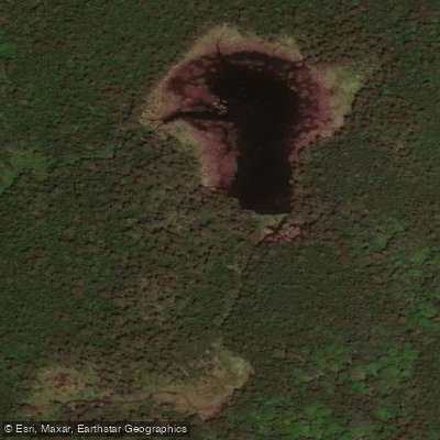
Fourth Connecticut Lake Access
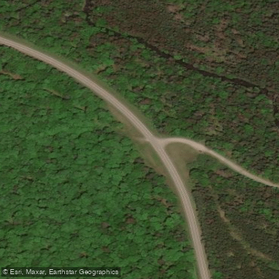
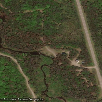
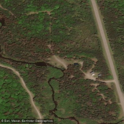
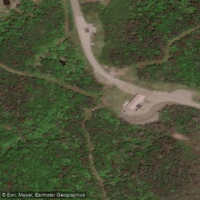
Fourth Connecticut Lake is a foot-access-only preserve located at the U. S. /Canada border near Pittsburg, NH, accessible via a 1. 7-mile loop trail starting from the parking lot at the border crossing station on Route 3.
The trail is steep with granite sections that can be wet and slippery, requiring sturdy hiking shoes; no dogs, camping, hunting, or fishing are permitted.
This is the true headwaters of the Connecticut River—you can literally step across the small brook that marks the river's beginning at the southern end of the lake.
Nearby points of interest
Find excellent paddling spots, easy access to boat ramps, and all the amenities you need for a memorable day. Your adventure starts here.
Water and weather conditions (10 day forecast)
Check the forecast at Fourth Connecticut Lake Access before you go paddling.
No forecast data available.
Paddling near Fourth Connecticut Lake Access
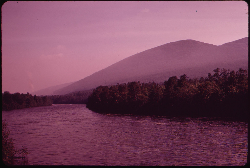
Androscoggin River
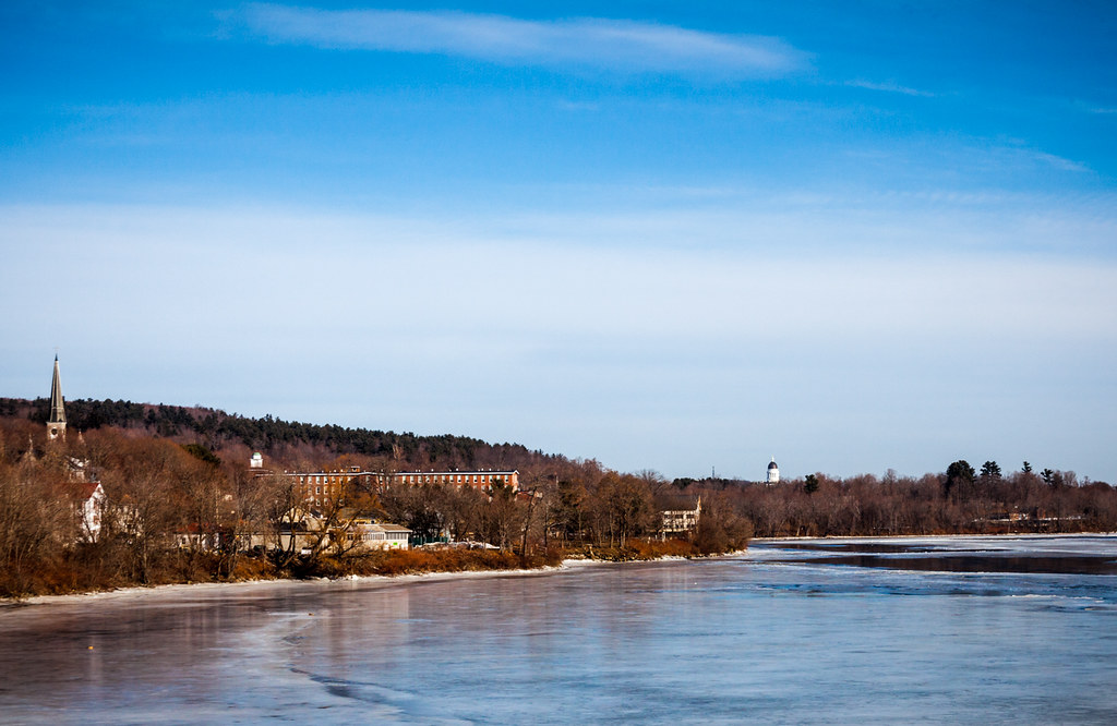
Kennebec River
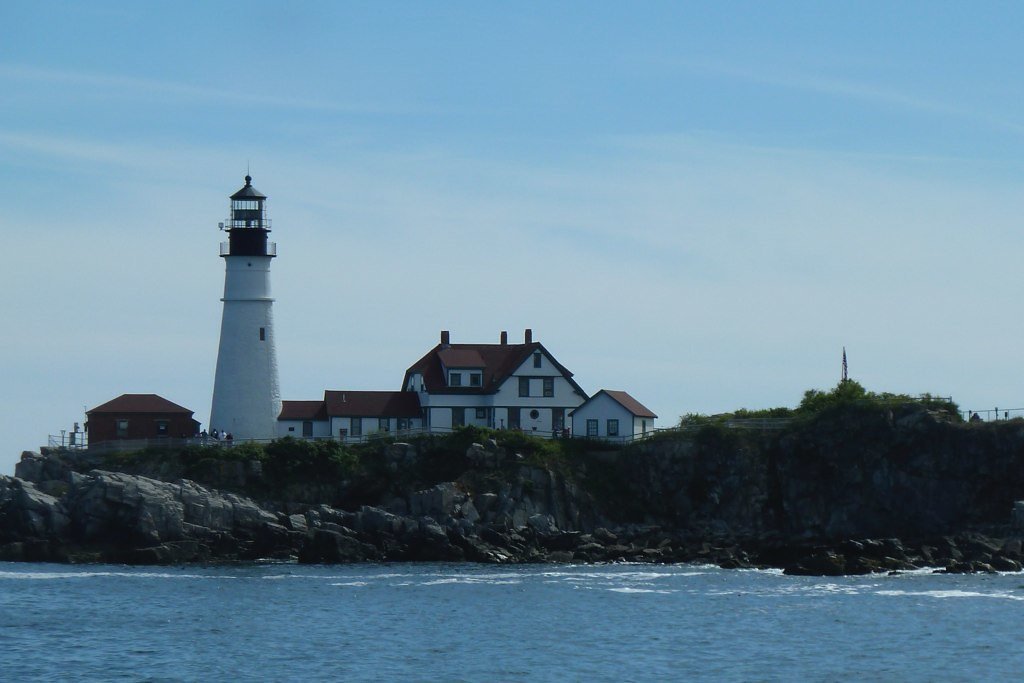
Casco Bay
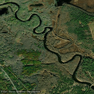
Saco River
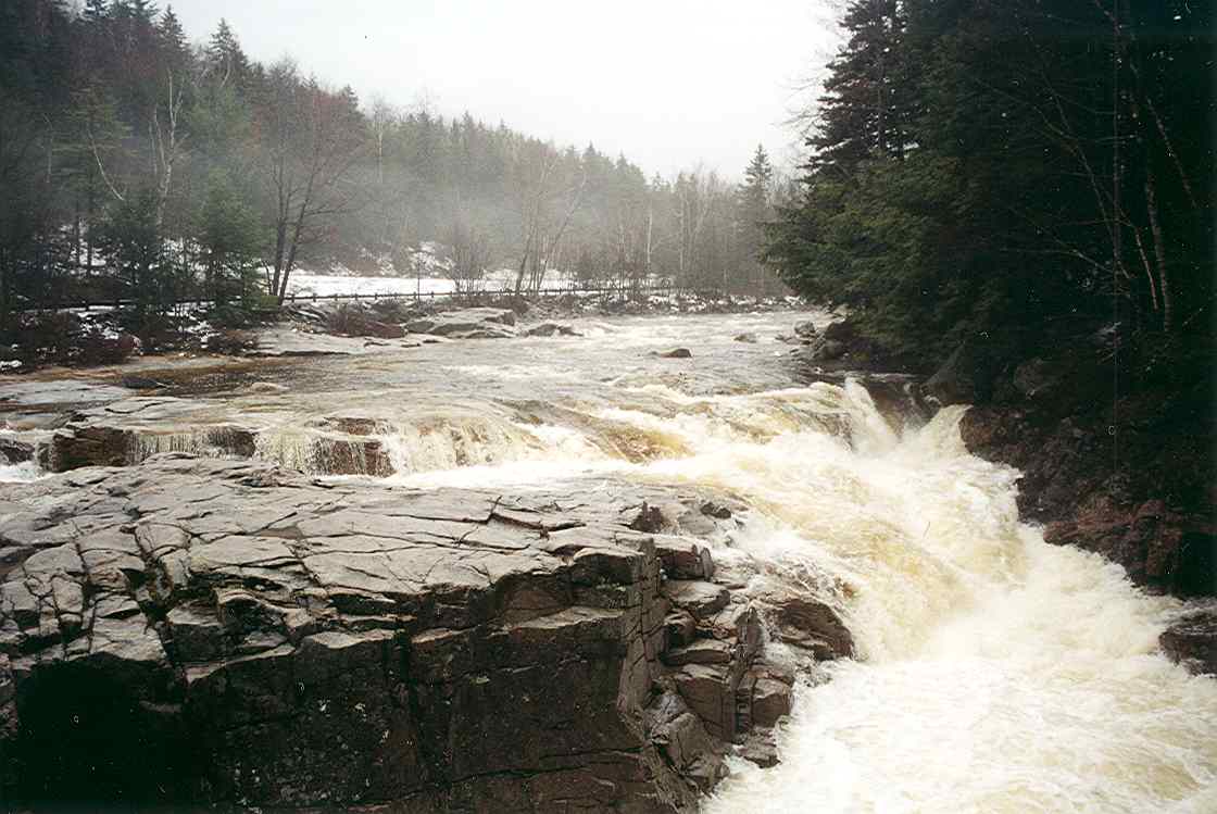
Swift River
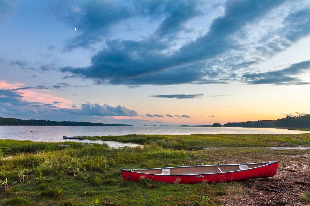
Maquoit Bay
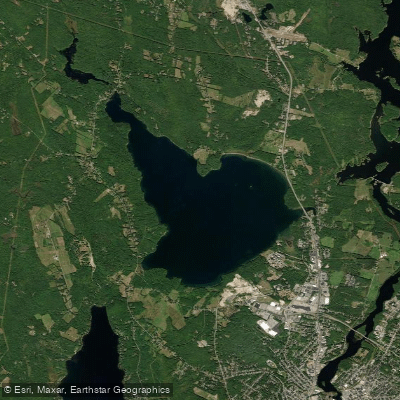
The Basin
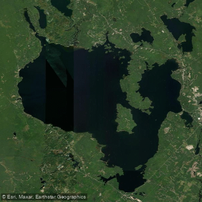
Sebago Lake
New Meadows River
Tripp Pond
New Hampshire licenses and regulations
Explore New Hampshire waters
Top paddling waters
No waters available right now.
Popular Cities
Loading popular cities...
Explore near Fourth Connecticut Lake Access
Nearby spots
- Connecticut Lakes State Park Boat Ramp
- East Inlet Ramp Boat Ramp
- Scott Bog Boat Ramp
- Cohos Trail Access
- Cohos Trail - Boundary Mountains Section Access
- Connecticut Lakes Headway Access
- Daniel Webster Highway Access
- Deer Mtn. Campground Access
- Fourth Lake Hiking Trail Access
- Deer Mountain Campground
- 4th Lake Parking
- East Inlet Road Parking
- All 13 nearby spots
Nearby waters
More in New Hampshire

Smarter Paddling Starts in the App.
Paddleways gives you everything you need to plan smarter, paddle better, and own every trip from first launch to takeout.