Passaic River
- Saltwater
- Pass
Passaic River
- Saltwater
- Pass
- Sq. miles
- 0.3
- Boat Ramps
- 0
- Access Points
- 0
- Campsites
- 0
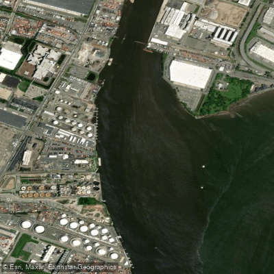
The Passaic River in New Jersey is an approximately 80-mile-long waterway flowing through numerous municipalities and counties. It offers a range of paddling experiences, from urban sections to expansive natural wetlands. A key resource for paddlers is the Passaic River Blueway Map, which details put-ins, take-outs, and mileage. Specific access points include Dundee Preserve Canoe Launch in Clifton and locations within Passaic River County Park, which offers canoe launching. The section near Two Bridges Road in Lincoln Park is particularly suitable for paddleboarding, bordering the Great Piece Meadows wildlife preserve. This area, along with the broader Great Piece Meadows, provides a quiet, immersive paddling experience with significant wildlife sightings, including herons, egrets, deer, and fox. Water levels in these wetland areas can fluctuate, and it is advised to check conditions before launching. The river's character varies, with some stretches showcasing New Jersey's industrial past alongside ongoing ecological recovery and cleanup efforts. Organized paddling opportunities are available through groups like River of God Paddling in Paterson, which offers trips for first-timers and recreational enthusiasts, and the Upper Passaic River Paddle trips coordinated by several county and club organizations. For motorized boat traffic, there are no horsepower restrictions on the river below the Dundee Dam, but sections above Little Falls may be subject to local ordinances limiting watercraft. The overall vibe is one of accessible recreation within easy reach of populated areas, blending natural observation with historical context.
Water access, boat ramps & amenities
Learn how to get on Passaic River. Uncover great paddling access points, boat ramps, and all the facilities you need for an unforgettable day on the water. Some locations shown may border or include private property. Always check property boundaries and applicable regulations before visiting. PaddleWays's Public & Private Land layer can help you plan your access with confidence.
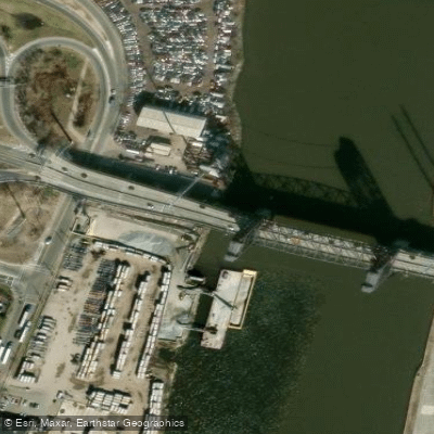
Passaic Rvr & Local Rds Bridge
Passaic Riv Pcrr Crr Con Bridge
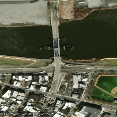
N.branch Raritan River Bridge
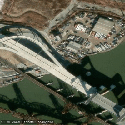
Nj 7 Cr 659 Rrs Bridge
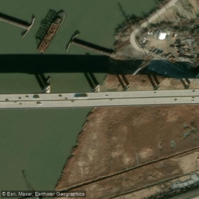
Hackensack Rv & Erie Rr Bridge
Passiac R Ramps Pass.ave Bridge
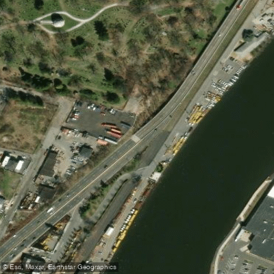
Nj 21 Nb Bridge
Penhorn Creek Bridge
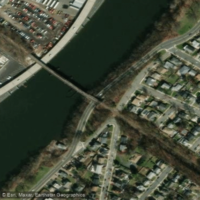
Passaic River Bank Bridge
Penhorn Creek Bridge
Paddle smarter with real-time insights
Whether you're en route and conditions shift or you're looking for the best spot based on current flows, we enable you to make informed decisions on the fly.








Find Places to Paddle

Over 400,000 Places to Paddle
Every user gets free access to launch points, boat ramps, and public property parcels.


Tides, wind & water conditions (10 day forecast)
On open water, wind and tide matter as much as the weather. See the best times to paddle Passaic River and check the marine forecast before you launch.
Loading tide predictions…
Paddling near Passaic River

Hudson River
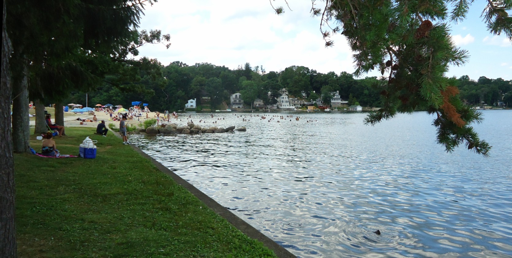
Lake Hopatcong
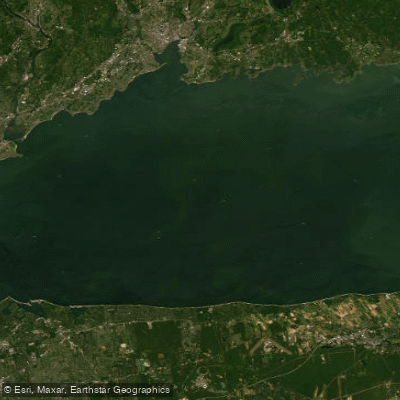
Long Island Sound

Raritan River
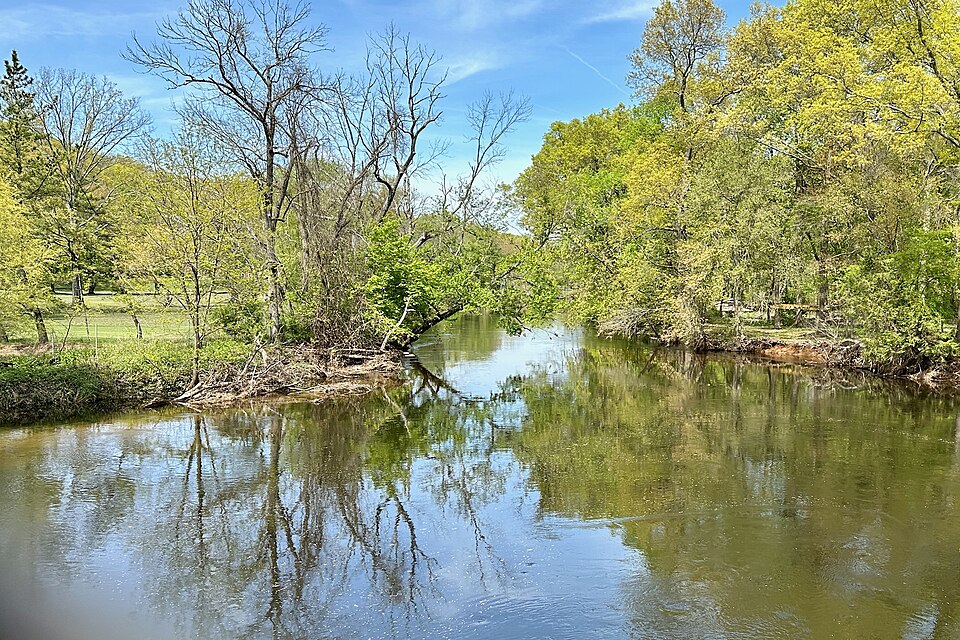
Rockaway River
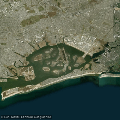
Jamaica Bay
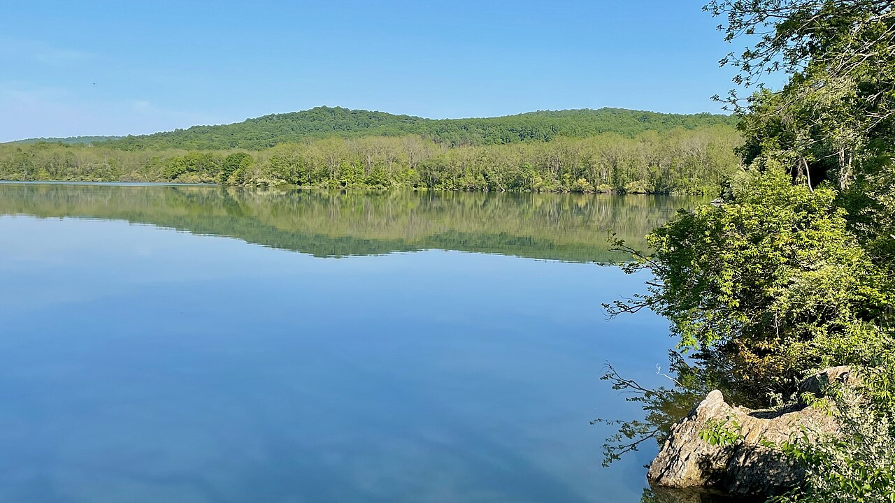
Spruce Run Reservoir
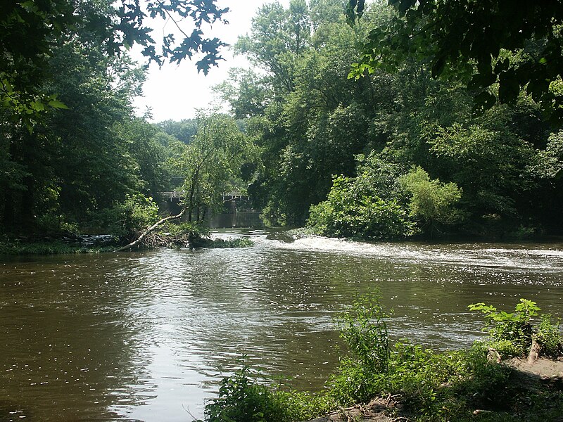
Millstone River
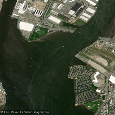
Hackensack River
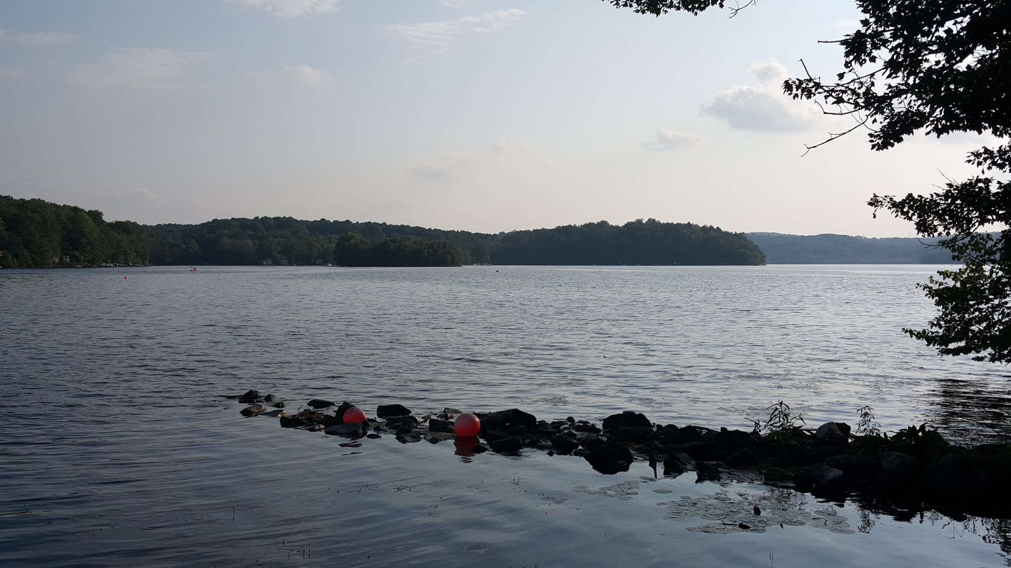
Swartswood Lake
Explore New Jersey waters
Top paddling waters
Popular Cities
Loading popular cities...
Explore near Passaic River
Access points
- Passaic Rvr & Local Rds Bridge
- Passaic Riv Pcrr Crr Con Bridge
- N.branch Raritan River Bridge
- Nj 7 Cr 659 Rrs Bridge
- Hackensack Rv & Erie Rr Bridge
- Passiac R Ramps Pass.ave Bridge
- Nj 21 Nb Bridge
- Penhorn Creek Bridge
- Passaic River Bank Bridge
- Penhorn Creek Bridge
- Passaic River Bridge
- Berrys Creek Bridge
- All 13 spots
Nearby waters
More in New Jersey

Smarter Paddling Starts in the App.
Paddleways gives you everything you need to plan smarter, paddle better, and own every trip from first launch to takeout.