Lawrence Brook
- Saltwater
- Sea area
Lawrence Brook
- Saltwater
- Sea area
- Sq. miles
- 0
- Boat Ramps
- 0
- Access Points
- 0
- Campsites
- 0
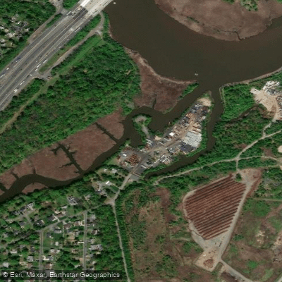
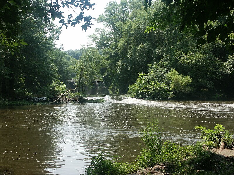
Lawrence Brook is a freshwater stream and chain of man-made lakes in Middlesex County, New Jersey, flowing north into the tidal Raritan River. The paddling environment consists primarily of several impoundments created by historic dams, including Deans Pond, Davidsons Mill Pond, Farrington Lake, Mill Pond, and Westons Mill Pond. The overall character is a calm, flatwater corridor suitable for relaxed paddling, with sections passing through suburban and university settings. Power boats are prohibited except those with electric motors, resulting in generally low motorized traffic. The lowest section near the Raritan River is tidal, but the main paddling areas described are within the non-tidal lake sections.
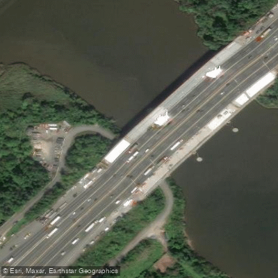
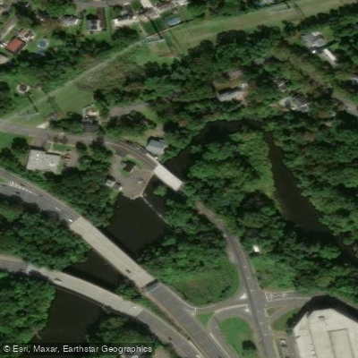
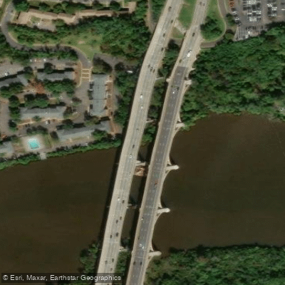
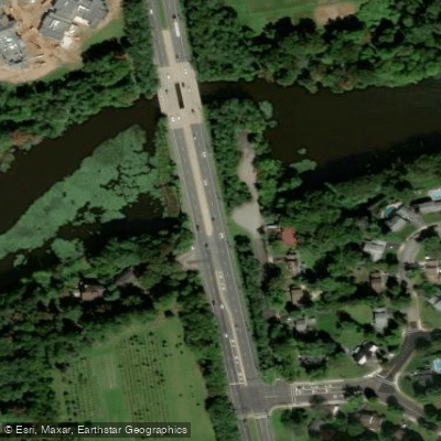
Several established access points provide launches for paddlers. On Farrington Lake, a 290-acre lake averaging six feet deep, there are dirt lot launches at Riva & Church Avenue and on Hardenburg Lane. At Westons Mill Pond, the northernmost lake, an old bridge road off Ryders Lane offers easy shore access with reliable parking. From there, paddlers can explore the open water to the dam near Route 18 or navigate a shallower, weedy section under the Ryders Lane bridge that eventually leads to a slow-flowing creek connecting to Milltown. Another potential creek access is noted behind the Milltown Post Office. Facilities are limited; no restrooms are available at the main launches, though Bicentennial Park near the Hardenburg Lane lot may have facilities.
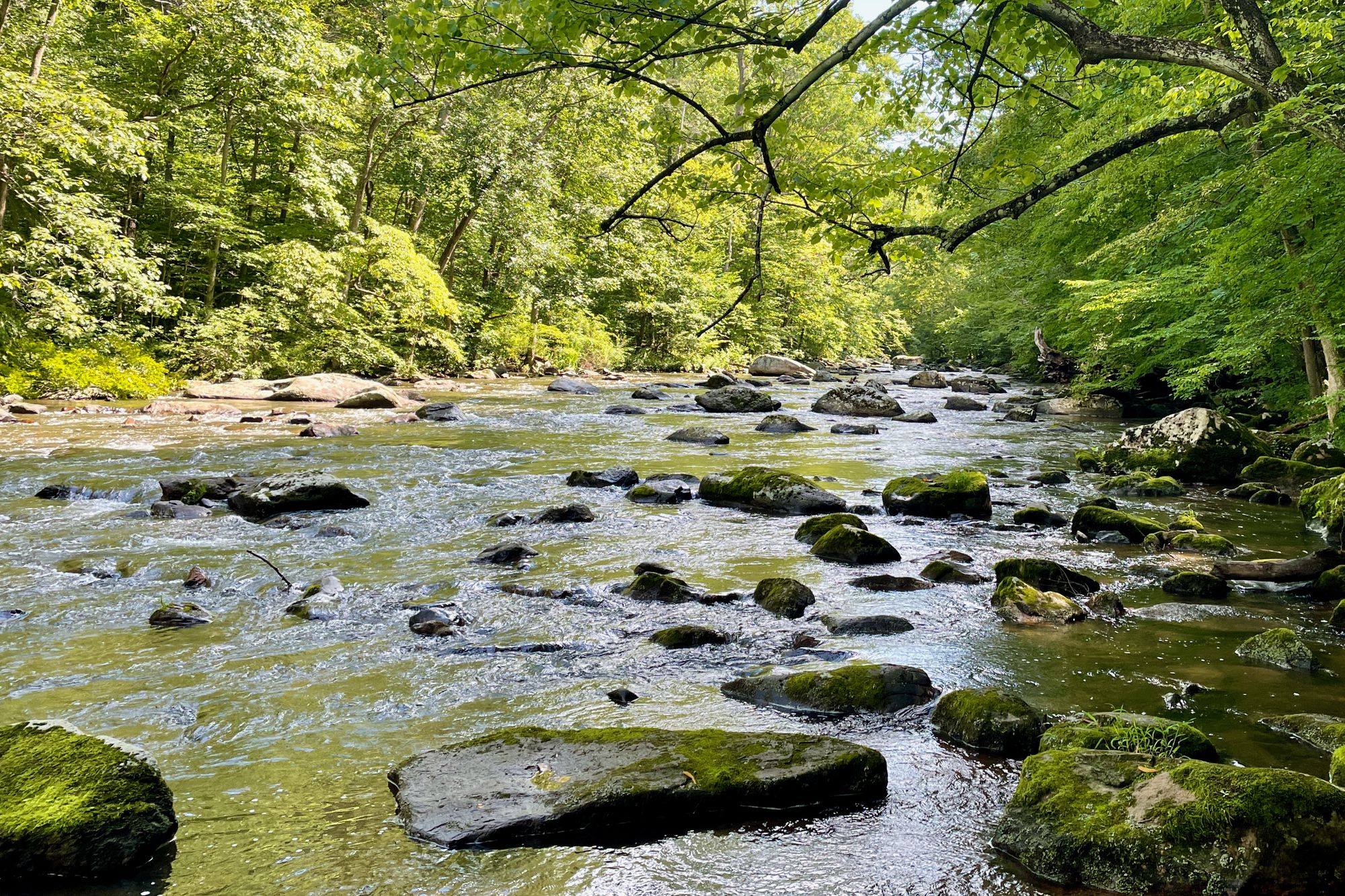
The waterway functions as a wildlife corridor and bird migration area. Paddlers may observe otters, particularly around dusk near the old bridge abutments at Westons Mill Pond, as well as herons, turtles, songbirds, and an abundance of basking turtles. The banks feature a mix of natural and developed landscapes, including the Rutgers Gardens and Helyar Forest along the Cook Campus, low red shale cliffs, residential areas, and sections overgrown with water lilies and poison ivy. The southern sections of Farrington Lake are narrower and shallower, potentially affected by low water levels, and can be more interesting to paddle. Guided kayak tours are occasionally offered on the brook by local outfitters.
Water access, boat ramps & amenities
Learn how to get on Lawrence Brook. Uncover great paddling access points, boat ramps, and all the facilities you need for an unforgettable day on the water. Some locations shown may border or include private property. Always check property boundaries and applicable regulations before visiting. PaddleWays's Public & Private Land layer can help you plan your access with confidence.
Paddle smarter with real-time insights
Whether you're en route and conditions shift or you're looking for the best spot based on current flows, we enable you to make informed decisions on the fly.








Find Places to Paddle

Over 400,000 Places to Paddle
Every user gets free access to launch points, boat ramps, and public property parcels.


Tides, wind & water conditions (10 day forecast)
On open water, wind and tide matter as much as the weather. See the best times to paddle Lawrence Brook and check the marine forecast before you launch.
Loading tide predictions…
Paddling near Lawrence Brook

Raritan River
Millstone River
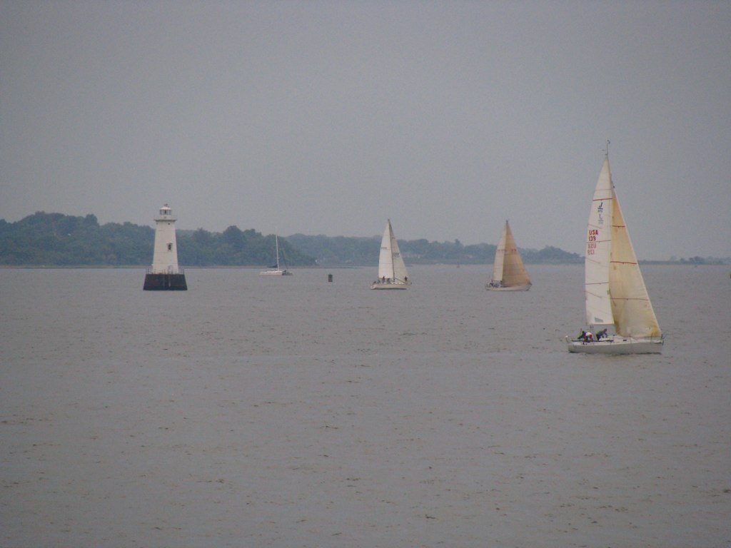
Raritan Bay
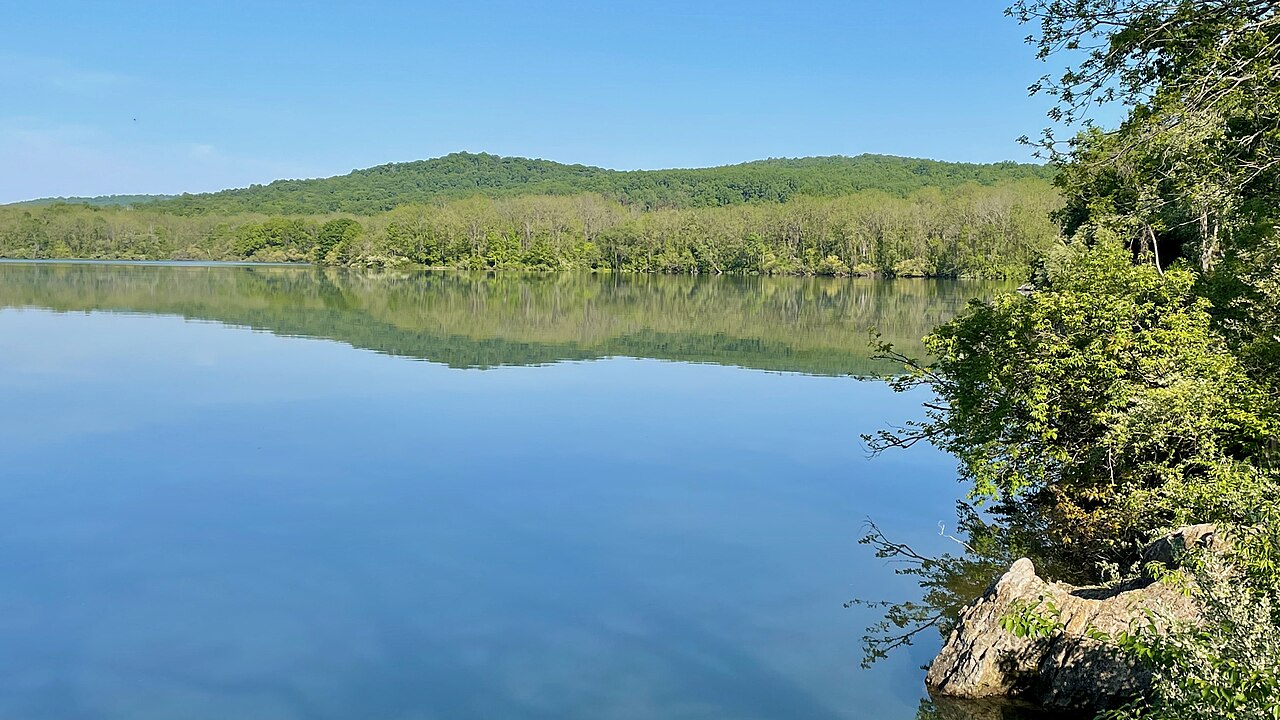
Spruce Run Reservoir

Hudson River

Delaware River
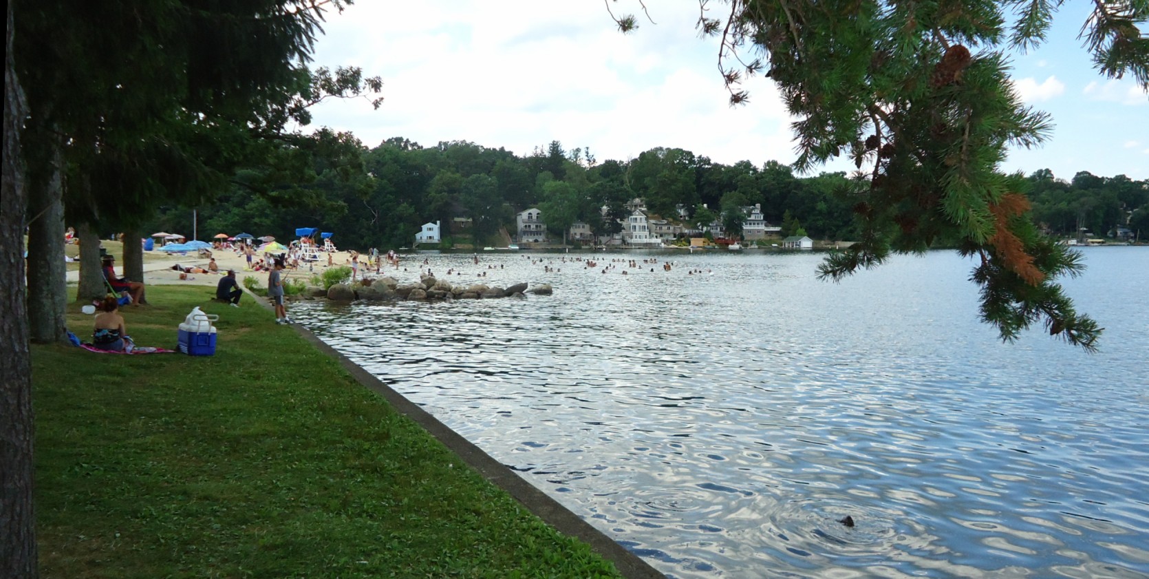
Lake Hopatcong
Washington Canal
South Branch Raritan River
Explore New Jersey waters
Top paddling waters
Popular Cities
Loading popular cities...
Explore near Lawrence Brook
Access points
Nearby waters
More in New Jersey

Smarter Paddling Starts in the App.
Paddleways gives you everything you need to plan smarter, paddle better, and own every trip from first launch to takeout.