Curated by PaddleWays
RouteFlatwater
- Distance
- 5.5 mi
- Paddle time
- 3 hrs
- Put-in → take-out
- Mt. Holly Access → Melpine Landing Access
Deep mud puddles on access road
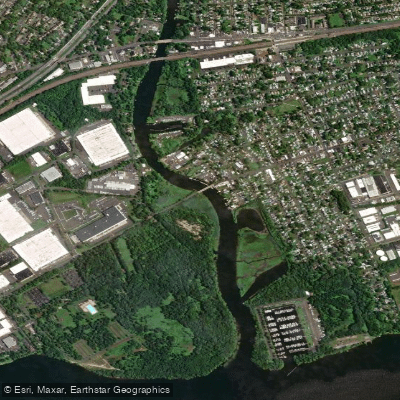
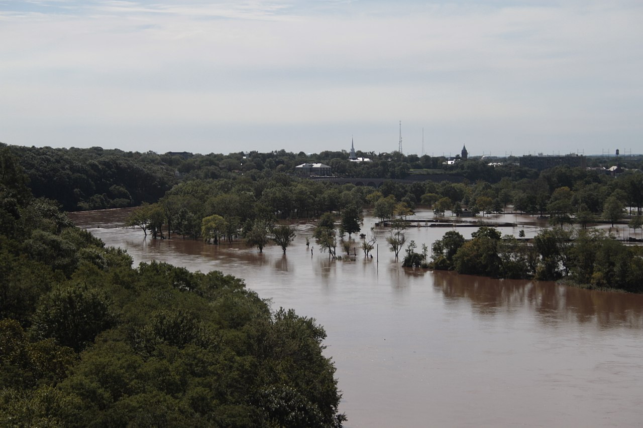
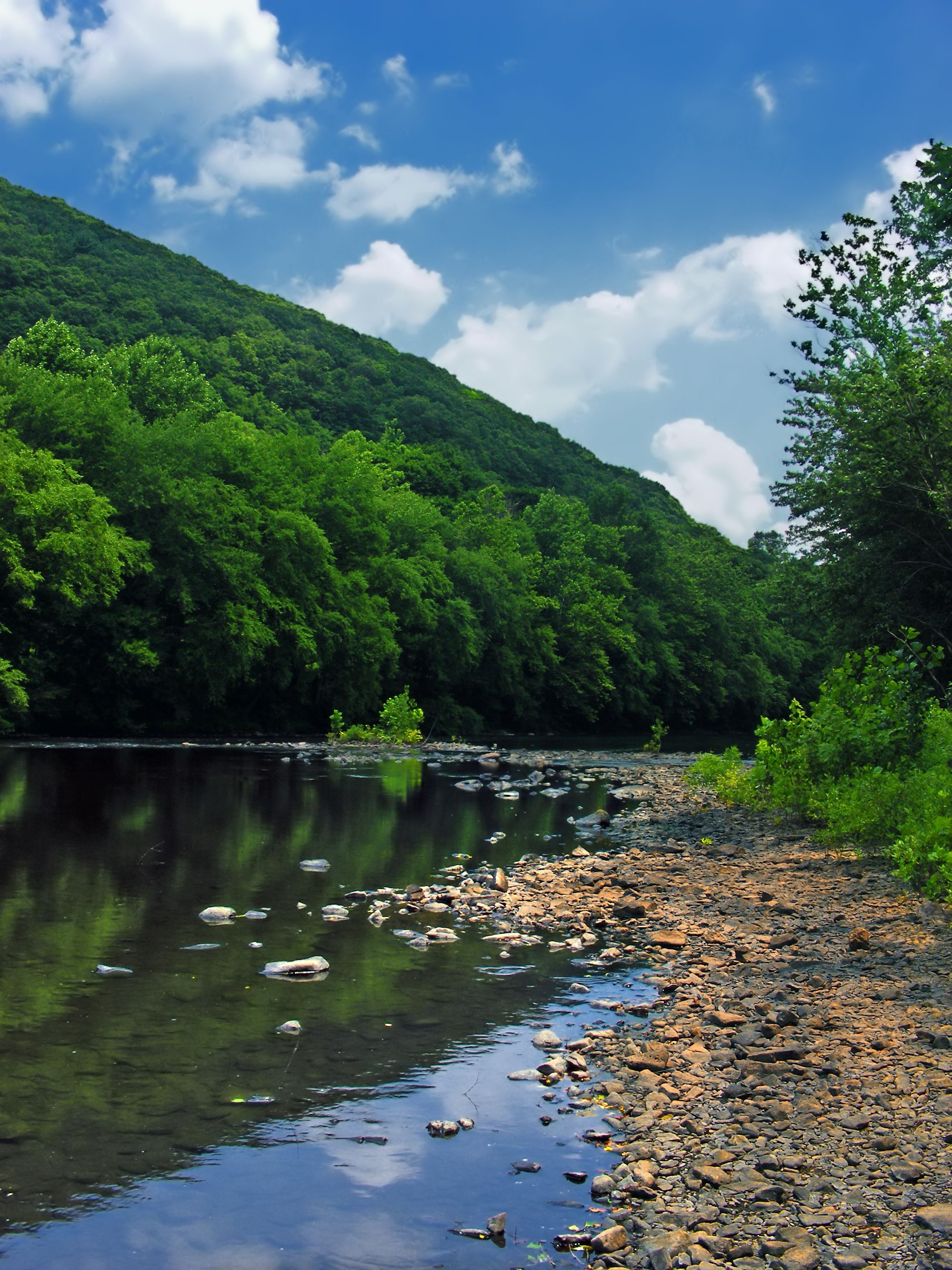
The North Branch Rancocas Creek is a 31-mile tributary of Rancocas Creek in southwestern New Jersey. It originates in the Pine Barrens near Whitesbog and flows generally westward, joining the South Branch to form the main stem of Rancocas Creek before emptying into the Delaware River. The creek and its watershed cover approximately 167 square miles, with much of its water originating from Pine Barrens swamps and streams.
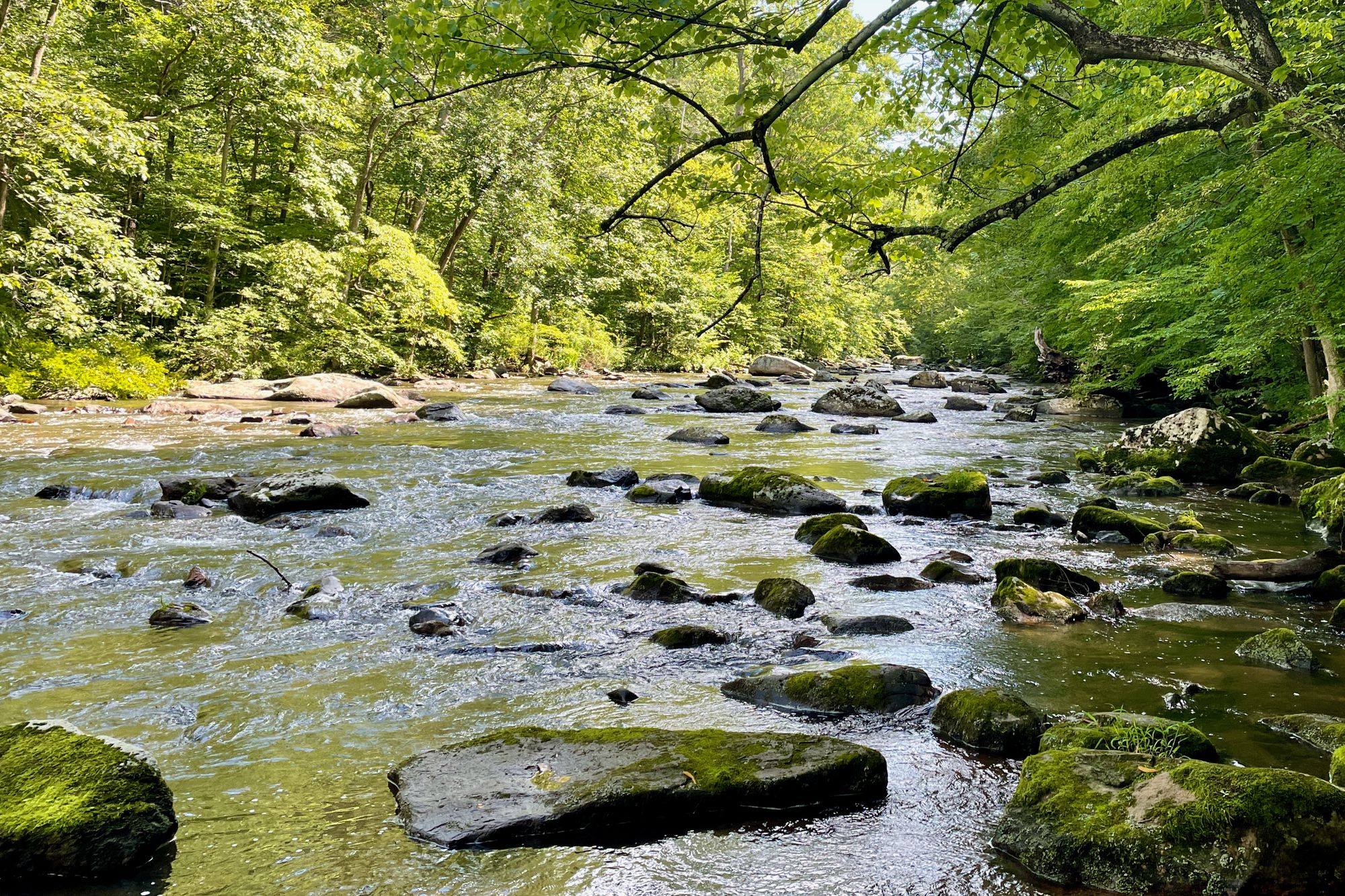
Paddling opportunities range from wild, narrow stretches in the upper reaches to wider, more developed sections downstream. The 14-mile Rancocas Creek Canoe Trail from Pemberton to Mount Holly is a popular route, offering a mix of natural scenery and historic sites. Difficulty ranges from flatwater to Class I rapids, making it suitable for beginners to intermediate paddlers. The upper sections between Whitesbog and Mirror Lake are wild and wooley, providing a more adventurous experience. Downstream, the Burlington County Canoe Trail offers easier paddling through pine forests and past scattered homes. Tidal influences are felt from Mount Holly to the Delaware River confluence.
Spring and fall typically offer the best water levels and comfortable temperatures for paddling. Summer can be enjoyable but may require portaging in low water areas. The creek supports diverse flora and fauna typical of the Pine Barrens ecosystem, including Atlantic white cedar, pitch pine, and various wading birds. Key landmarks include Historic Smithville Park, the old grist mill in Pemberton (now an antique shop), and Mount Holly's Mill Dam Park. Primary access points are found in Pemberton, Smithville, Mount Holly, and various locations along the Burlington County Canoe Trail.
The Rancocas Creek watershed holds significant historical importance, with ties to Lenape Native American settlements, colonial-era development, and the Underground Railroad. The area around Timbuctoo was notably a haven for freed and escaped slaves in the 19th century.
Paddlers should be aware of occasional logjams, especially in upper sections, and tidal influences in lower reaches. Local regulations may apply in certain areas, particularly within state park boundaries. Multi-day trips are possible by combining various sections, with the full 31-mile journey from the headwaters to the Delaware River offering an immersive Pine Barrens to tidewater experience for more adventurous paddlers.
Curated routes
Hand-picked by the PaddleWays team, with put-ins, take-outs, paddle times and the hazards along the way.
RouteFlatwater
RouteClass I–II
Hazards
No paddler has reported a hazard here yet, so these are the dams, falls and big rapids on our map. Hazards change with flows and storms, so check them before you launch.
From the community
Nobody has shared a trip on North Branch Rancocas Creek yet. Paddle it, then tell the next paddler how it went.
See exactly where the public can get on and off the river. Launch points and boat ramps are paired with PaddleWays' public land data so you know where you can legally land.
Public shoreline
43%of the river's shoreline is public
Most of the riverbank is private. Launch, land and camp only at public access points.
Flows, weather and a route-by-route verdict, so you know which stretch of the North Branch Rancocas Creek is worth paddling today.
All Flow Stations
Live flows, marked hazards and fresh trip reports from paddlers who were just on the water, all in one place.





Every user gets free access to launch points, boat ramps, and public property parcels.

Loading popular cities...
PaddleWays gives you everything you need to plan smarter, paddle better, and own every trip from first launch to takeout.