Curated by PaddleWays
RouteClass I–II
- Distance
- 23.9 mi
- Paddle time
- ~8 hrs
- Best for
- Beginners, intermediate paddlers
- Put-in → take-out
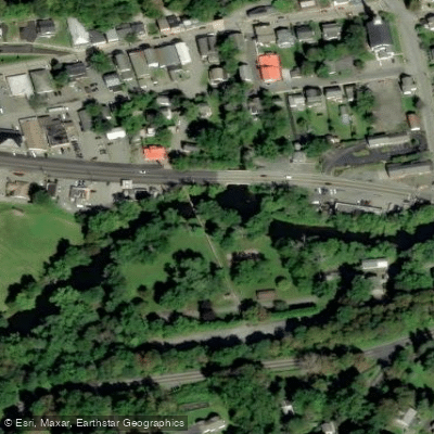
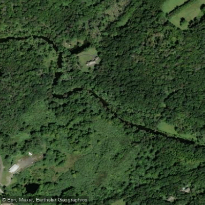
- Paulinskill River Wildlife Management Area Access → Columbia Wildlife Management Area Access
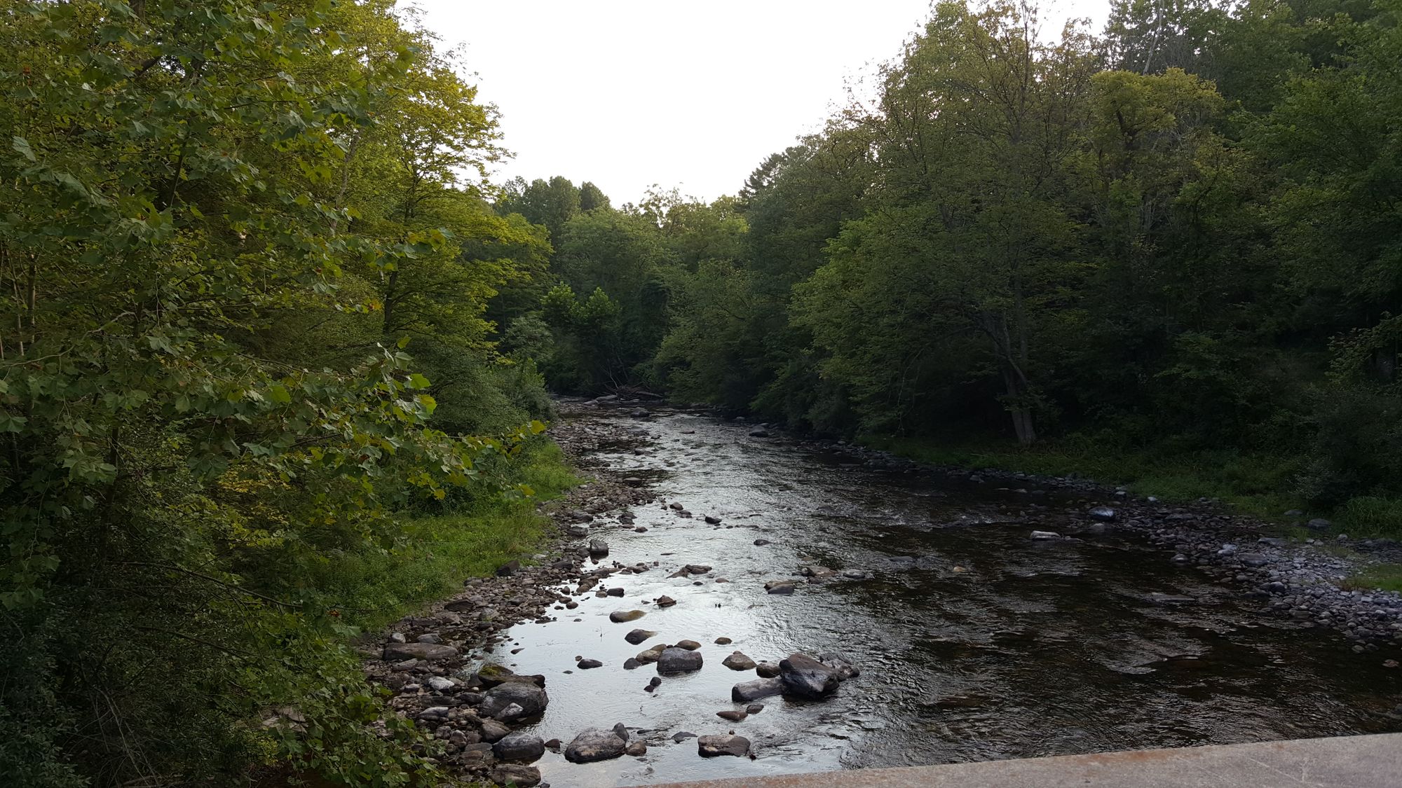
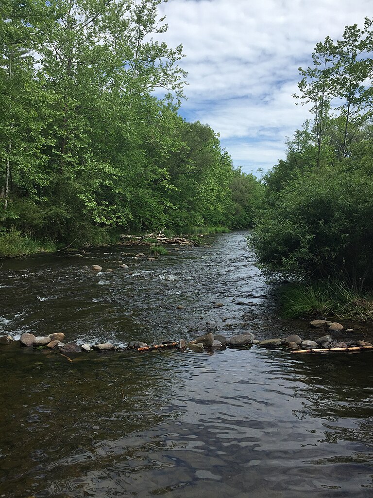
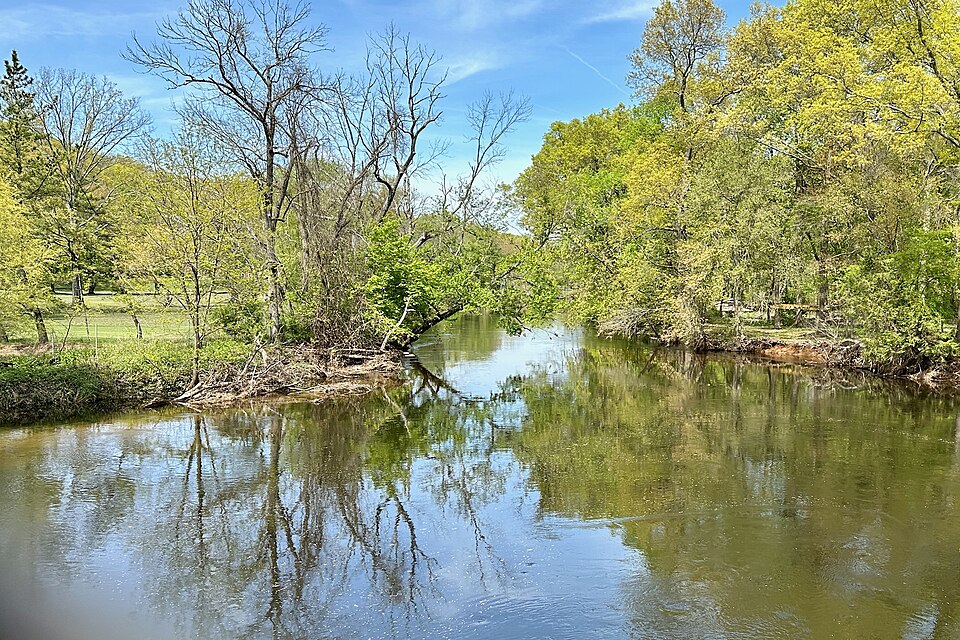
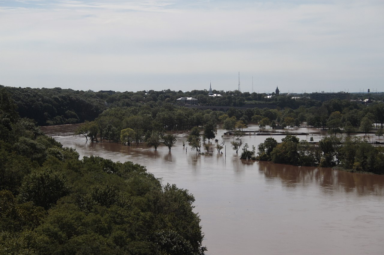
The Paulins Kill is a scenic river in northwestern New Jersey, flowing approximately 41 miles from its headwaters near Newton to its confluence with the Delaware River at Columbia. As New Jersey's third-largest tributary of the Delaware, the Paulins Kill drains a 177 square mile watershed encompassing portions of Sussex and Warren counties.
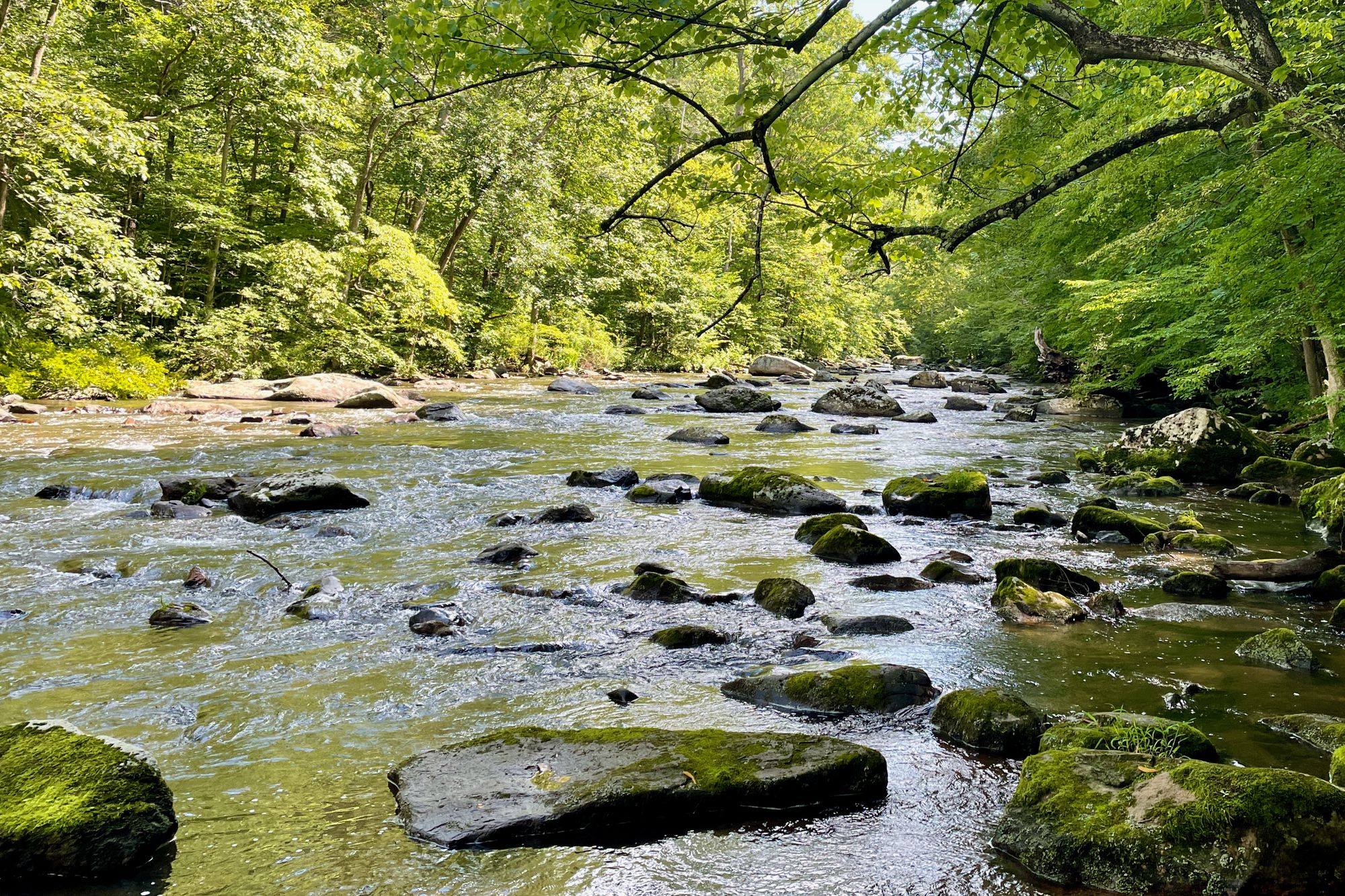
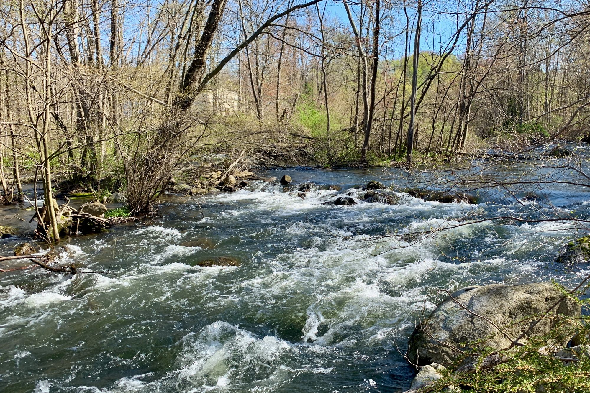
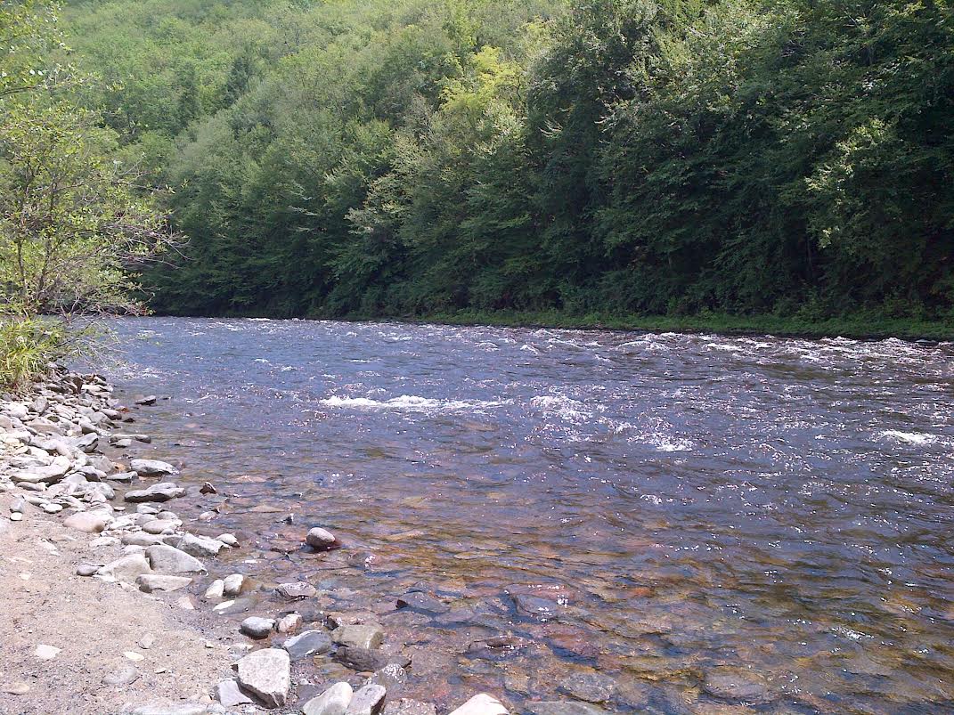
The river offers diverse paddling opportunities suitable for various skill levels. The upper reaches near Paulins Kill Lake provide flatwater paddling, transitioning to gentle Class I-II rapids downstream. The 17-mile stretch from Stillwater to the Delaware River is a popular run, featuring mostly Class I-II water with occasional Class II+ rapids. Columbia Lake, formed by damming the lower Paulins Kill, offers additional flatwater paddling before the final run to the Delaware. While sections are suitable for beginners, paddlers should be prepared for occasional obstacles like log jams, particularly near bridges. The river is best paddled in spring when water levels are highest, though summer and fall can provide pleasant trips during periods of adequate flow.
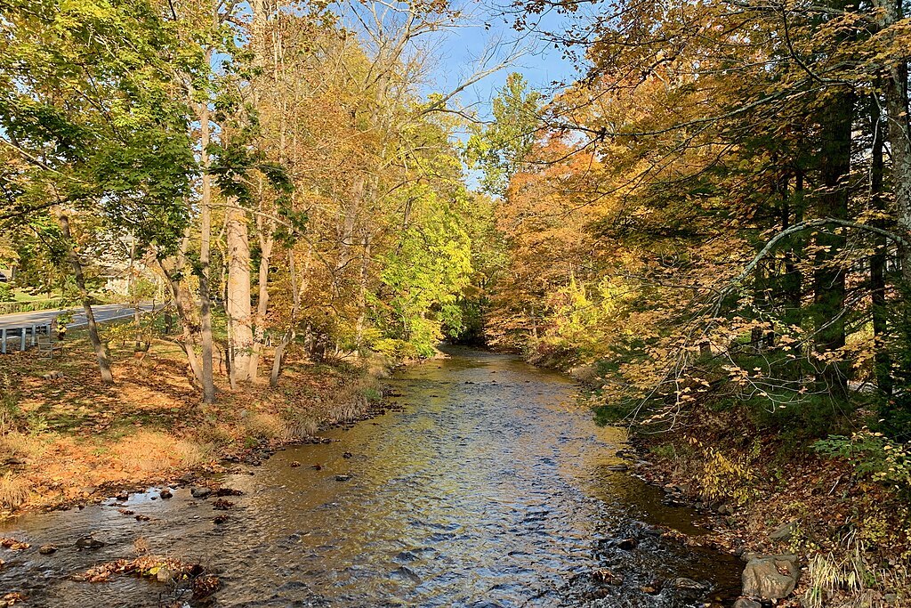
The Paulins Kill valley hosts a diverse ecosystem. Paddlers may encounter wildlife such as bald eagles, herons, and beavers. The surrounding forests feature a mix of hardwoods and conifers, including oak, eastern hemlock, and eastern red cedar. Key landmarks include the historic iron footbridge in Blairstown and the recently removed Paulina Dam. The river passes through or near several state parks and forests, including Swartswood State Park and portions of the Delaware Water Gap National Recreation Area.
Primary access points include Paulins Kill Lake, Stillwater, Blairstown, and Columbia, with additional put-ins along the route. The river's proximity to the Appalachian Trail and other recreational areas makes it a focal point for outdoor enthusiasts.
Paddlers should be aware of potential hazards like strainers and changing water levels. A notable log jam under the Old Orchard Road bridge may require portaging. Always check current conditions and wear appropriate safety gear. For those seeking a multi-day adventure, the full length of the Paulins Kill can be paddled in 2-3 days, with camping options available along the route. This river offers a perfect blend of natural beauty, gentle rapids, and rich history, making it a gem of New Jersey's waterways.
Curated routes
Hand-picked by the PaddleWays team, with put-ins, take-outs, paddle times and the hazards along the way.
RouteClass I–II
Hazards
No paddler has reported a hazard here yet, so these are the dams, falls and big rapids on our map. Hazards change with flows and storms, so check them before you launch.
From the community
Nobody has shared a trip on Paulins Kill yet. Paddle it, then tell the next paddler how it went.
See exactly where the public can get on and off the river. Launch points and boat ramps are paired with PaddleWays' public land data so you know where you can legally land.
Public shoreline
50%of the river's shoreline is public
Flows, weather and a route-by-route verdict, so you know which stretch of the Paulins Kill is worth paddling today.
Live flows, marked hazards and fresh trip reports from paddlers who were just on the water, all in one place.





Every user gets free access to launch points, boat ramps, and public property parcels.

Loading popular cities...
PaddleWays gives you everything you need to plan smarter, paddle better, and own every trip from first launch to takeout.