Shrewsbury River
- Saltwater
- Tidal river
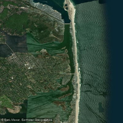
Shrewsbury River
- Saltwater
- Tidal river
- Sq. miles
- 1.3
- Boat Ramps
- 1
- Access Points
- 3
- Campsites
- 2
The Shrewsbury River is a tidal estuary in New Jersey, flowing into Sandy Hook Bay. It is characterized by its coastal marshes, coves, and several islands, offering a mix of natural scenery and views of waterfront homes. The river is connected to the Navesink River, and paddlers can follow it out to the open waters of Sandy Hook Bay. This is a saltwater environment with significant tidal influence. Currents, particularly under bridges, can be swift, requiring careful navigation and making this area more suitable for experienced kayakers. The river sees boat traffic, which can be a factor for paddlers, especially in the main channels.
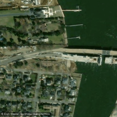
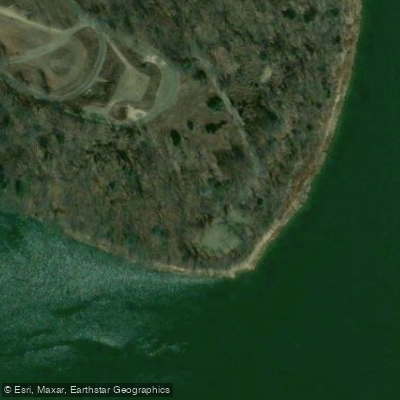
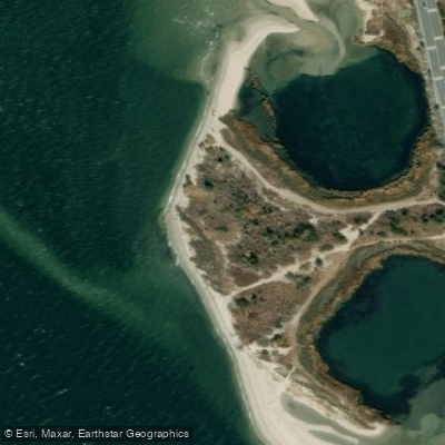
Numerous public access points exist along its shores. A frequently mentioned launch is the free dirt boat ramp at Tocci Avenue in Monmouth Beach, which provides access via Manhassett Creek before connecting to the main river. Other documented put-ins include locations at Blackberry Park, Branchport, Fort Monmouth, Galilee, Long Branch, Oceanport, Rumson, and Sea Bright. The launch at Long Branch is a public boat ramp with parking, suitable for beginners due to mild currents in that stretch. Amenities at launches are generally basic, often consisting of a ramp and parking, though availability can vary by site.
Paddling here offers opportunities to see marine wildlife, including dolphins, herons, egrets, and osprey. Historical military ruins from Sandy Hook's role in defending New York Harbor are a notable sight. The area is popular for sunset paddles, with guided tours and rentals available from outfitters like the Oceanport Paddle Club. The best seasons for paddling are spring, summer, and fall. Water conditions are heavily influenced by wind and tide, not river flow, and paddlers must plan their trips around the tidal cycle, aiming to paddle with or against the current as needed for their route.
Water access, boat ramps & amenities
Learn how to get on Shrewsbury River. Uncover great paddling access points, boat ramps, and all the facilities you need for an unforgettable day on the water. Some locations shown may border or include private property. Always check property boundaries and applicable regulations before visiting. PaddleWays's Public & Private Land layer can help you plan your access with confidence.
Paddle smarter with real-time insights
Whether you're en route and conditions shift or you're looking for the best spot based on current flows, we enable you to make informed decisions on the fly.








Find Places to Paddle

Over 400,000 Places to Paddle
Every user gets free access to launch points, boat ramps, and public property parcels.


Tides, wind & water conditions (10 day forecast)
On open water, wind and tide matter as much as the weather. See the best times to paddle Shrewsbury River and check the marine forecast before you launch.
Loading tide predictions…
Paddling near Shrewsbury River

Raritan River

Hudson River
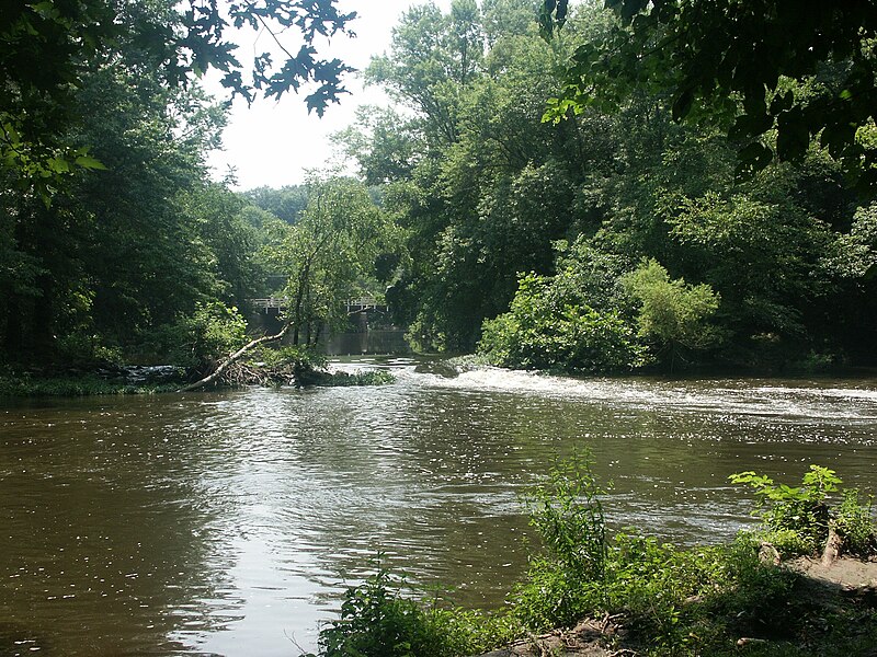
Millstone River
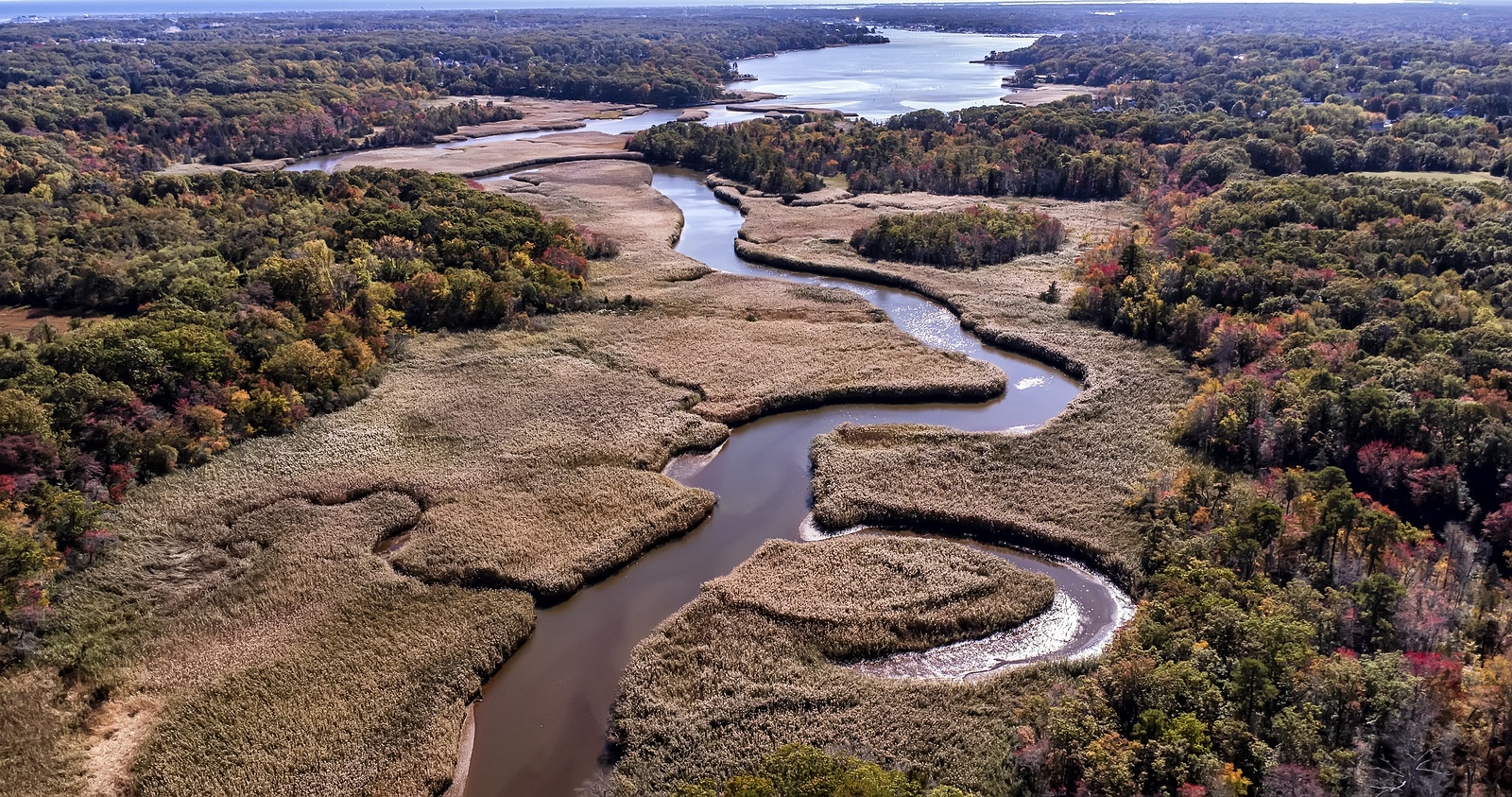
Manasquan River
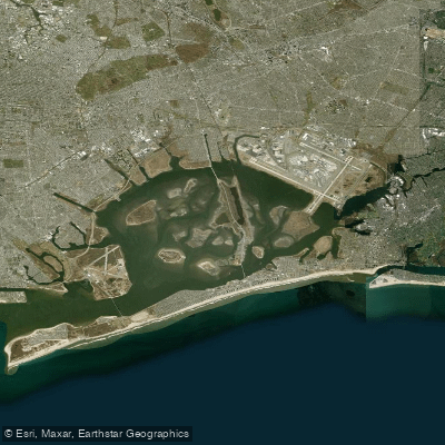
Jamaica Bay

Delaware River
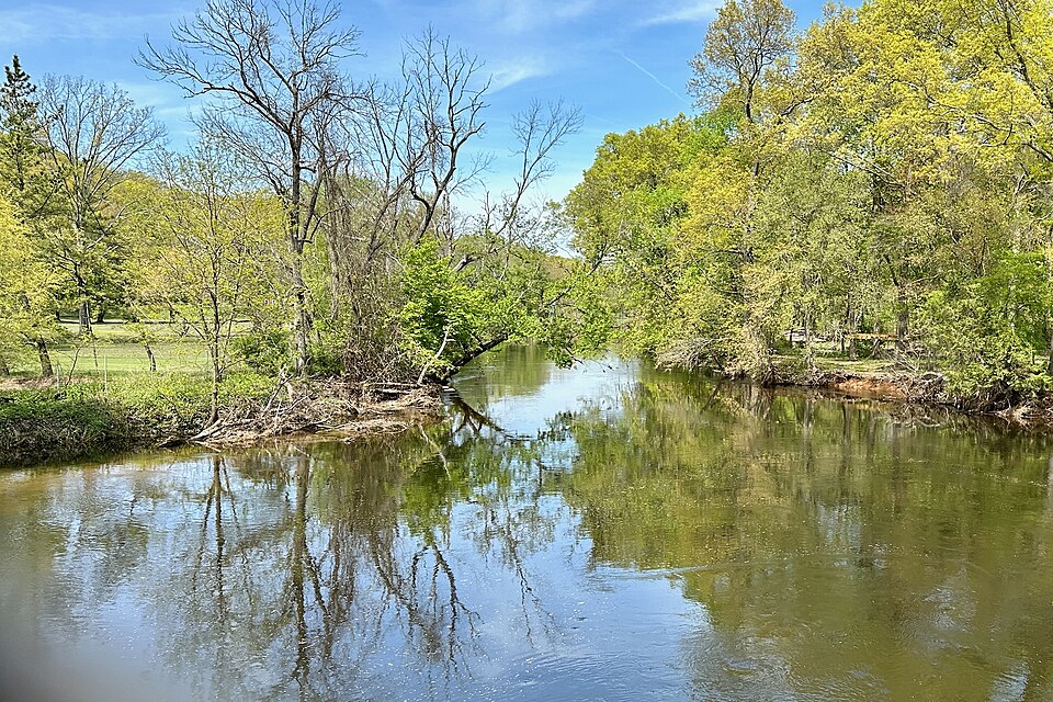
Rockaway River
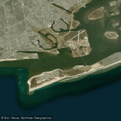
Rockaway Inlet
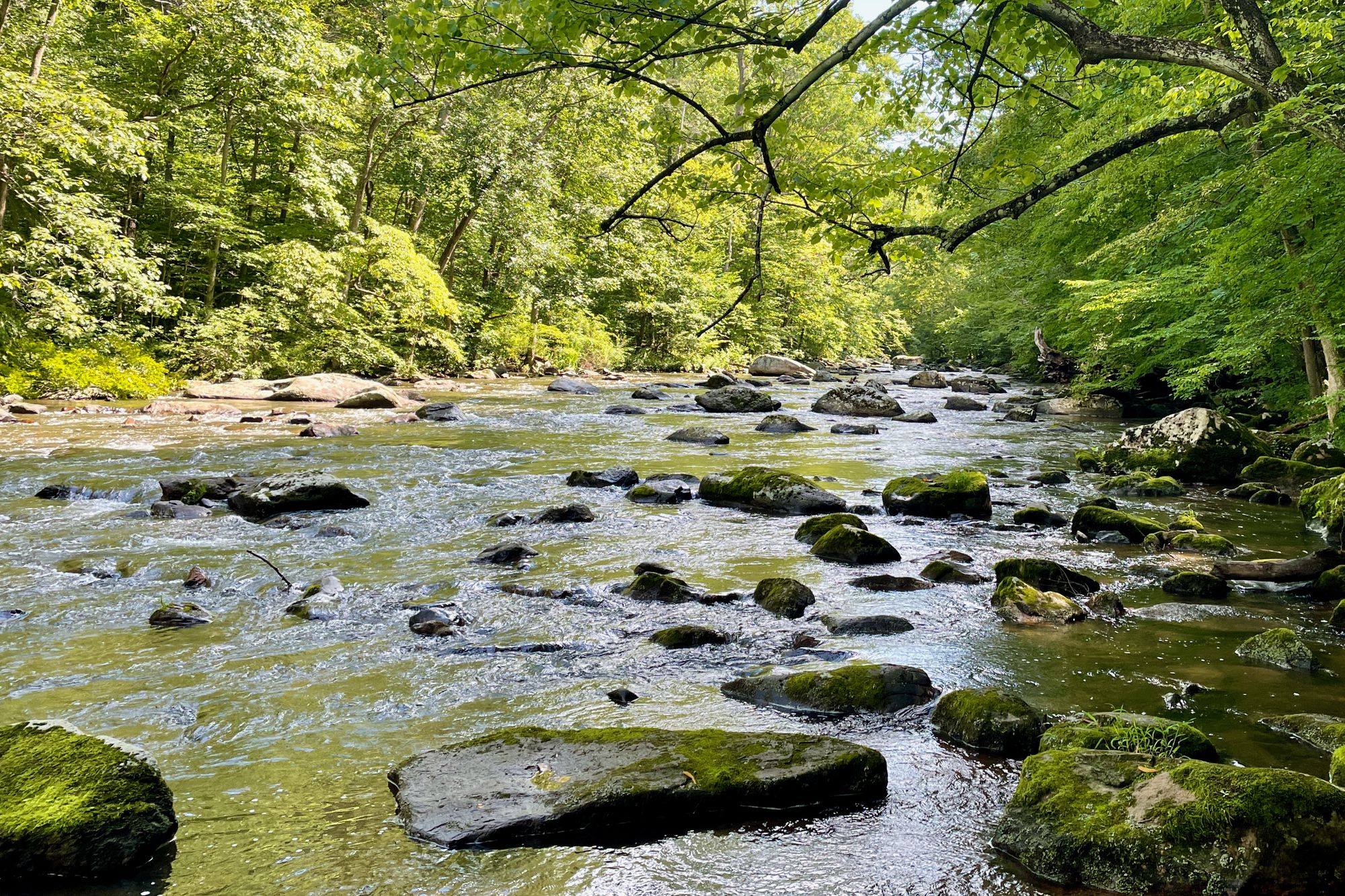
South Branch Raritan River
Explore New Jersey waters
Top paddling waters
Popular Cities
Loading popular cities...
Explore near Shrewsbury River
Access points
Nearby waters
More in New Jersey

Smarter Paddling Starts in the App.
Paddleways gives you everything you need to plan smarter, paddle better, and own every trip from first launch to takeout.