Rockaway Inlet
- Saltwater
- Inlet
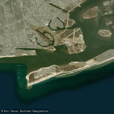
Rockaway Inlet
- Saltwater
- Inlet
- Sq. miles
- 6.1
- Boat Ramps
- 0
- Access Points
- 0
- Campsites
- 2
Rockaway Inlet is a coastal inlet connecting the Atlantic Ocean to the extensive Jamaica Bay within the boundaries of New York City, separating the Rockaway Peninsula in Queens from Brooklyn. It serves as a primary gateway for paddlers transitioning between the open ocean and the sheltered bays of the South Shore's intracoastal waterway. The paddling character here is defined by significant marine influences, including strong tidal currents, wind exposure, and substantial boat traffic. A notable rescue incident underscores the hazards, where two kayakers capsized and were treated for hypothermia after being in the water for about 15 minutes, highlighting the cold water risk and the importance of preparedness even within city limits.
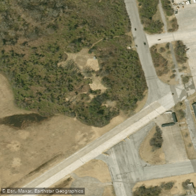
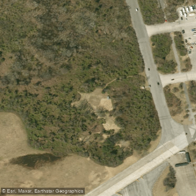
Access points for launching are varied. Paddlers can use the dedicated kayak and canoe launch at A-Dock at Floyd Bennett Field, which provides access to Dead Horse Bay and the inlet. Riis Landing is a specific launch site for ranger-led trips into the inlet. Private operations like A-Team Paddleboarding offer access to an "off the beaten track" beach launch in the area, while other potential launch areas include Plumb Beach and the vicinity of the Gil Hodges Bridge. The inlet is a busy corridor, with a steady stream of planes overhead landing at JFK Airport and motorboat traffic from residences along the barrier islands. The Atlantic Beach Bridge, which spans the inlet's eastern end, is a landmark paddlers pass under when entering Hempstead Bay and Reynolds Channel.
Paddling conditions are heavily dependent on tide and wind. Currents can be strong, flowing against paddlers exiting the bay, necessitating strategic use of shallower edges to avoid the main flow. Winds can pick up quickly, creating challenging conditions where paddlers may need to switch to kneeling on a SUP to make headway. The inlet opens to the ocean, so paddlers should be prepared for potential swell and less shielded conditions. The area offers a striking juxtaposition of natural and urban landscapes, with views of vast, grassy marsh islands (hassocks) on the northern side of Reynolds Channel, contrasted with developed shorelines and city infrastructure. Wildlife includes hundreds of birds in the marsh areas. The National Park Service offers free, beginner-friendly ranger-led kayak trips in the area during the summer months, extending into September, which can provide a structured introduction to these waters.
Water access, boat ramps & amenities
Learn how to get on Rockaway Inlet. Uncover great paddling access points, boat ramps, and all the facilities you need for an unforgettable day on the water. Some locations shown may border or include private property. Always check property boundaries and applicable regulations before visiting. PaddleWays's Public & Private Land layer can help you plan your access with confidence.
Paddle smarter with real-time insights
Whether you're en route and conditions shift or you're looking for the best spot based on current flows, we enable you to make informed decisions on the fly.








Find Places to Paddle

Over 400,000 Places to Paddle
Every user gets free access to launch points, boat ramps, and public property parcels.


Tides, wind & water conditions (10 day forecast)
On open water, wind and tide matter as much as the weather. See the best times to paddle Rockaway Inlet and check the marine forecast before you launch.
Loading tide predictions…
Paddling near Rockaway Inlet

Hudson River

Raritan River
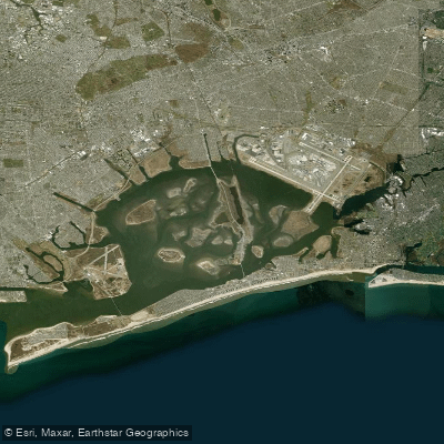
Jamaica Bay
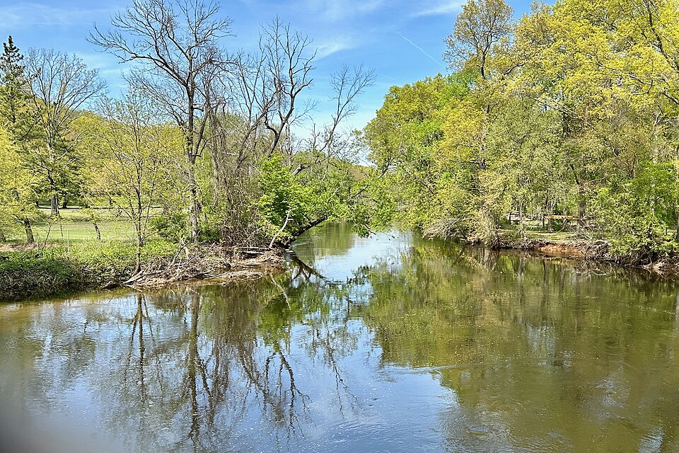
Rockaway River
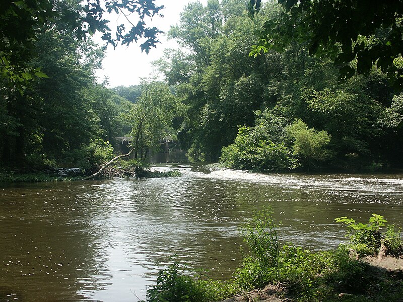
Millstone River

Croton River
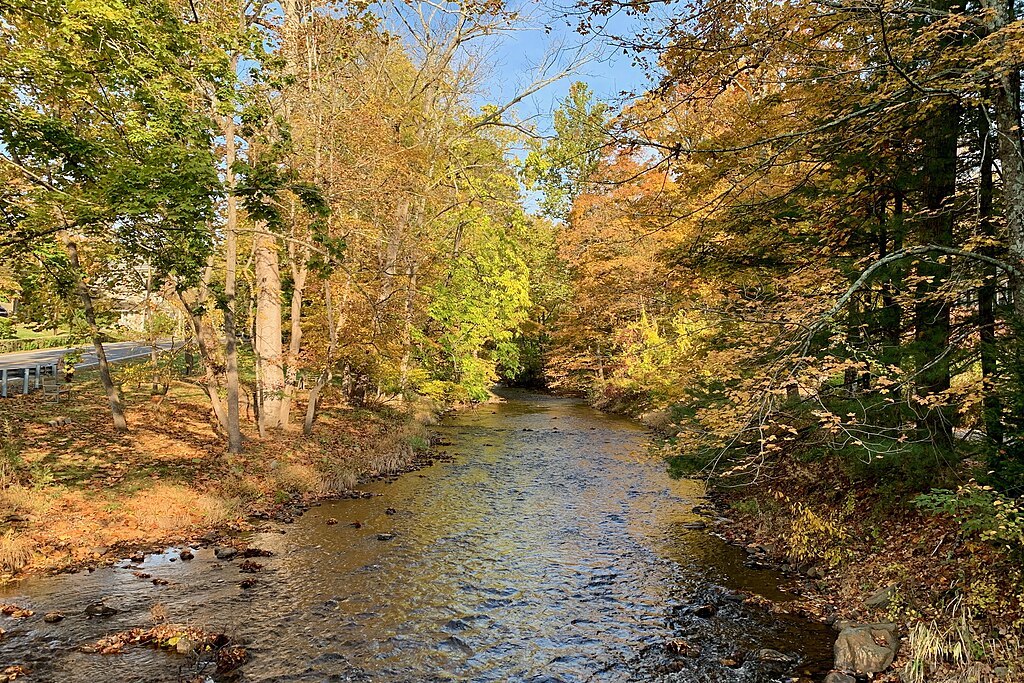
Lamington River
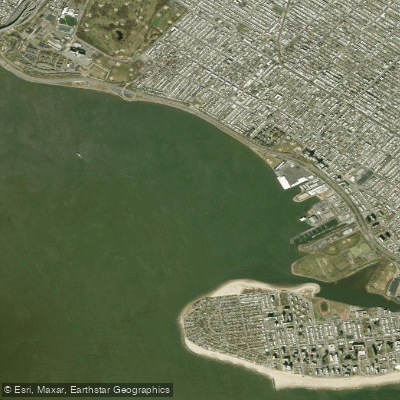
Gravesend Bay
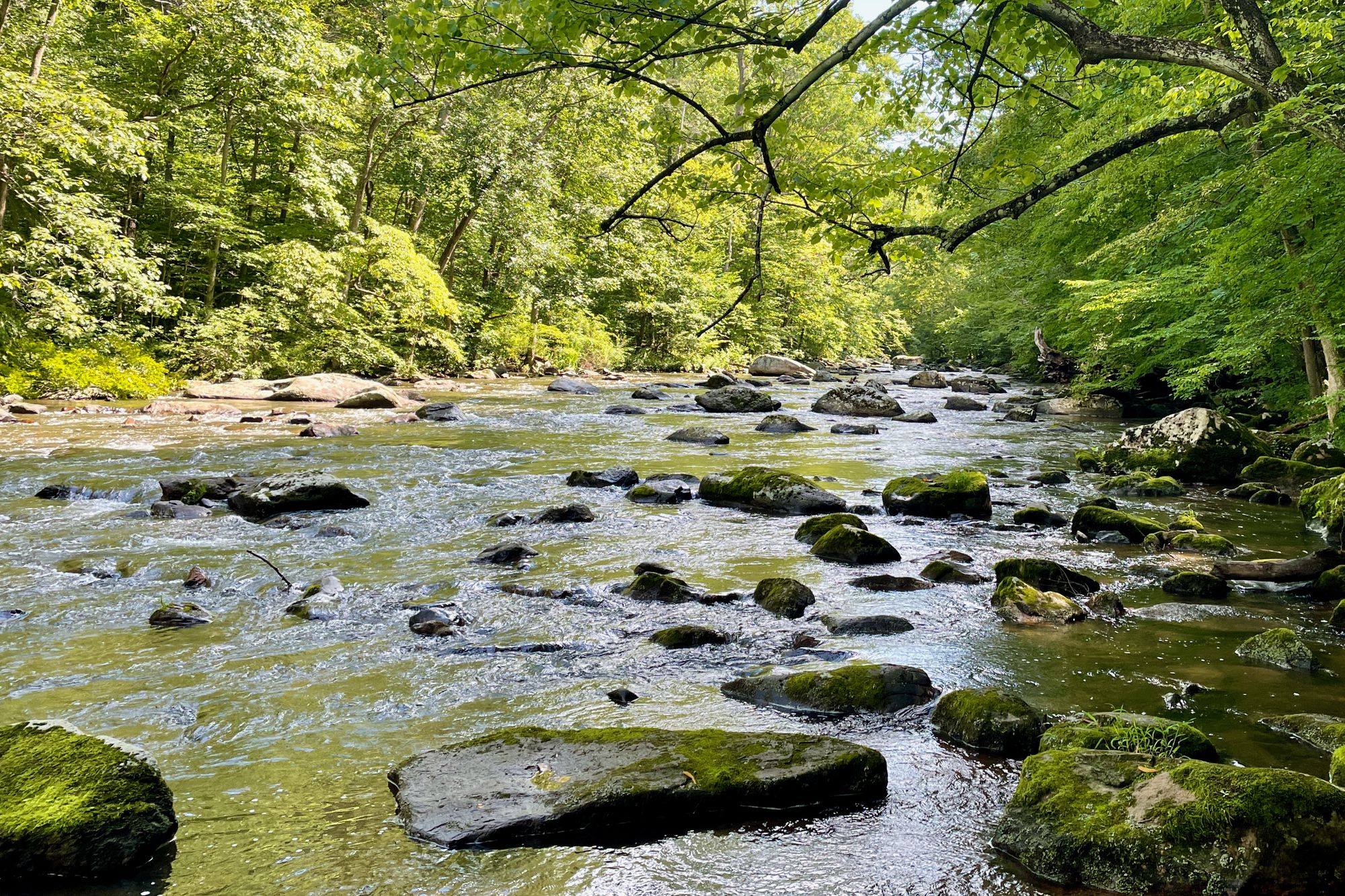
South Branch Raritan River
Explore New York waters
Top paddling waters
Popular Cities
Loading popular cities...
Explore near Rockaway Inlet
Access points
Nearby waters
More in New York

Smarter Paddling Starts in the App.
Paddleways gives you everything you need to plan smarter, paddle better, and own every trip from first launch to takeout.