Shrewsbury Rocks
- Saltwater
- Bay
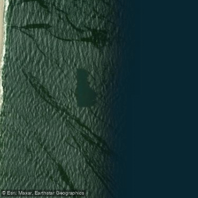
Shrewsbury Rocks
- Saltwater
- Bay
- Sq. miles
- 0.9
- Boat Ramps
- 0
- Access Points
- 0
- Campsites
- 1
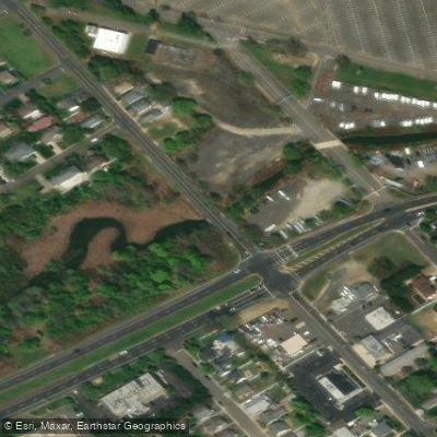
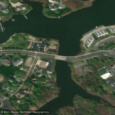
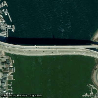
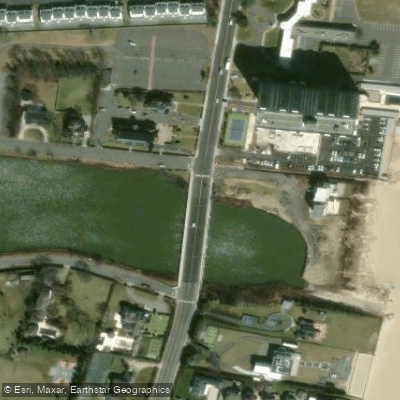
Shrewsbury Rocks is a large, natural expanse of scattered rock bottom formations located in the Atlantic Ocean off Monmouth Beach, New Jersey. It is considered the largest such natural formation in the mid-Atlantic region, situated roughly between Sea Bright and Monmouth Beach, approximately one mile offshore. The primary access point for paddlers is from Monmouth Beach, specifically near the old life saving station. Launching here requires carrying your kayak and gear over a sea wall, though access may be easier from the local beach club after the summer season ends around Labor Day. The paddle out to the nearest rocks is about one mile, with the full area extending further out, marked by green buoys known as the "Can" and the "Gas Can." This is an exposed, open-ocean paddle with significant considerations for wind and current. Paddlers report that a west wind makes for an easy launch but creates a difficult return paddle from the rocks, as winds intensify about half a mile from shore. Conversely, an east wind makes the initial paddle out challenging but aids the return. Strong currents are present in the area. This is a high-traffic zone for powerboats, especially during fishing seasons, requiring constant vigilance. The water is deep, ranging from 15 to 55 feet around the structure, dropping to nearly 60 feet at its outer edge near an area known as the Rattlesnake. The rocks act as a significant marine oasis, attracting a wide variety of baitfish and pelagic species, which in turn draw bird activity. The area is fished year-round, which means paddlers should expect to share the water with charter and private boats. There is no mention of dedicated paddler facilities, and the launch is a basic beach carry-over.
Water access, boat ramps & amenities
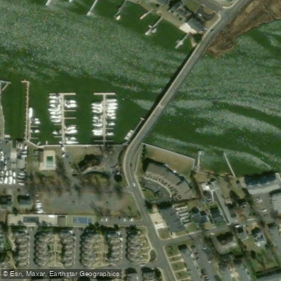
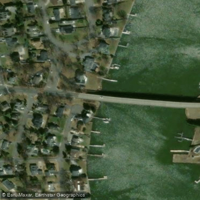
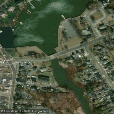
Learn how to get on Shrewsbury Rocks. Uncover great paddling access points, boat ramps, and all the facilities you need for an unforgettable day on the water. Some locations shown may border or include private property. Always check property boundaries and applicable regulations before visiting. PaddleWays's Public & Private Land layer can help you plan your access with confidence.
Paddle smarter with real-time insights
Whether you're en route and conditions shift or you're looking for the best spot based on current flows, we enable you to make informed decisions on the fly.








Find Places to Paddle

Over 400,000 Places to Paddle
Every user gets free access to launch points, boat ramps, and public property parcels.


Tides, wind & water conditions (10 day forecast)
On open water, wind and tide matter as much as the weather. See the best times to paddle Shrewsbury Rocks and check the marine forecast before you launch.
Loading tide predictions…
Paddling near Shrewsbury Rocks

Hudson River

Raritan River
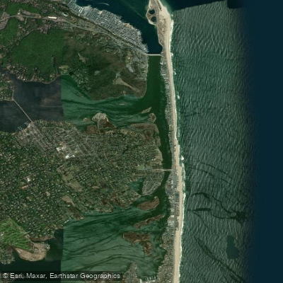
Shrewsbury River
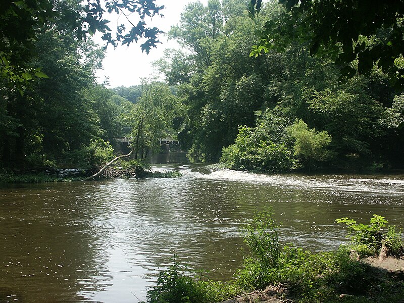
Millstone River
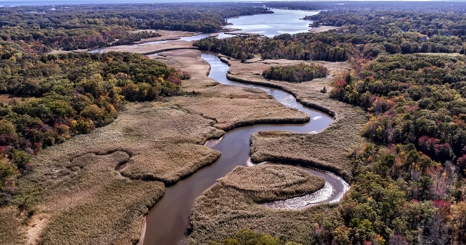
Manasquan River
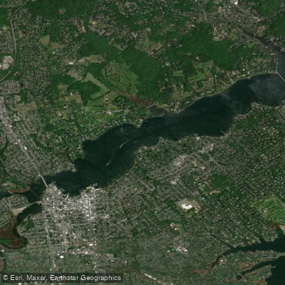
Navesink River

Delaware River
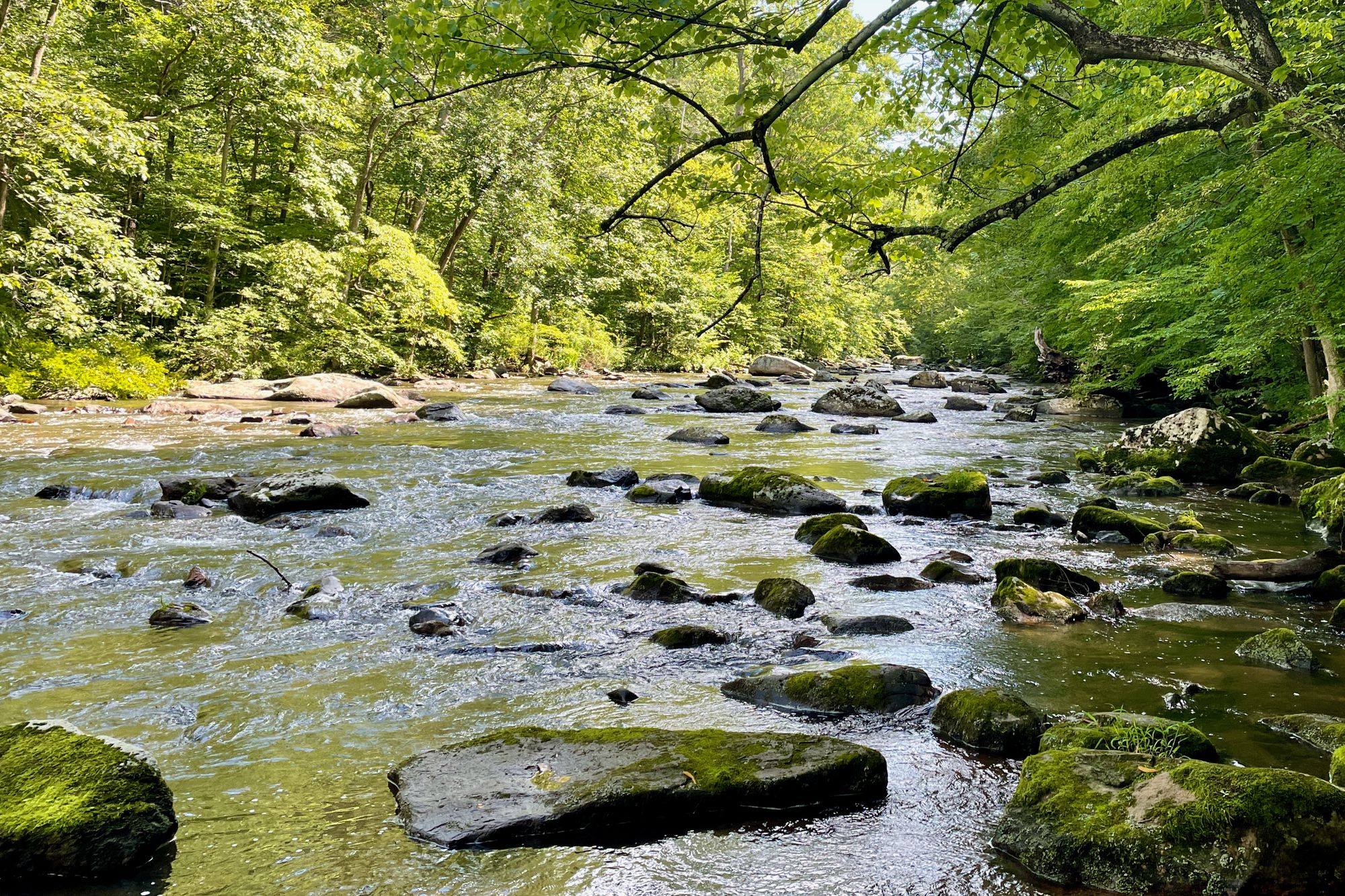
South Branch Raritan River
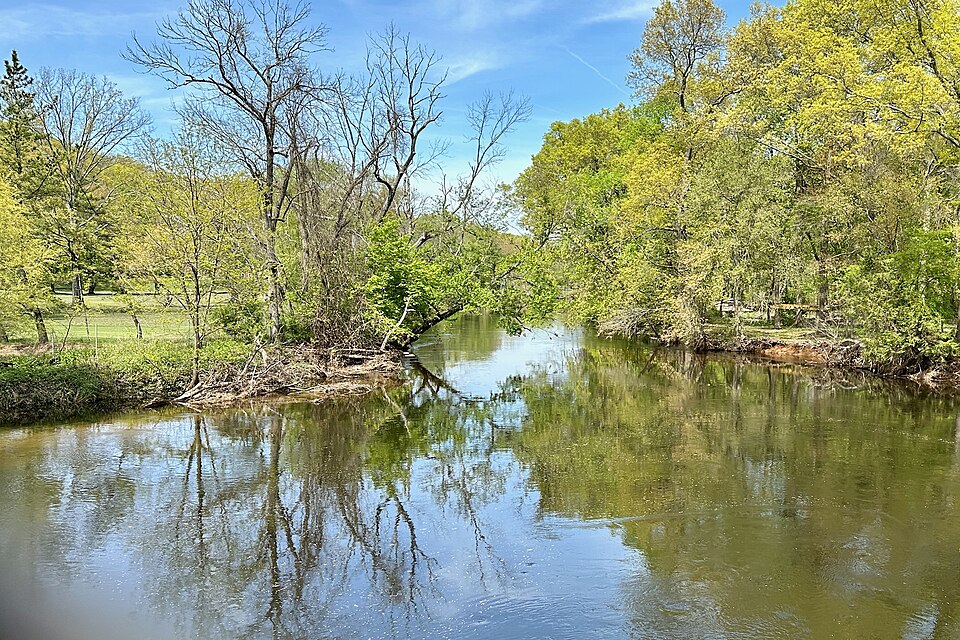
Rockaway River
Explore New Jersey waters
Top paddling waters
Popular Cities
Loading popular cities...
Explore near Shrewsbury Rocks
Access points
Nearby waters
More in New Jersey

Smarter Paddling Starts in the App.
Paddleways gives you everything you need to plan smarter, paddle better, and own every trip from first launch to takeout.