Navesink River
- Saltwater
- Tidal river
Navesink River
- Saltwater
- Tidal river
- Sq. miles
- 1.8
- Boat Ramps
- 1
- Access Points
- 0
- Campsites
- 2
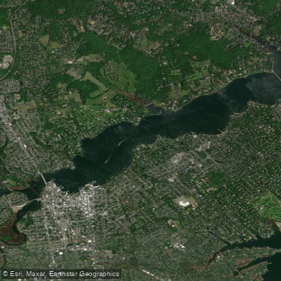
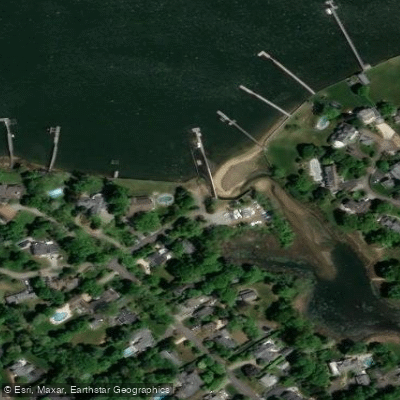
The Navesink River in New Jersey is a broad, brackish tidal river approximately eight miles long, connecting to Raritan Bay near Sea Bright. Its character is more like a large lake for much of its length, with generally negligible current, though it can become choppy due to wind exposure across its wide sections. The primary exception is the narrow channel near Sea Bright where tidal currents become very strong and boat traffic is heavy, making it a zone paddlers should avoid. The river's water quality is generally clean, especially in contrast to the nearby Swimming River. Multiple public access points facilitate paddling, including specific launches at Red Bank, Fair Haven, and Rumson, with Maple Cove in Red Bank noted as a sandy launch with a short walk from parking. The Oceanic Marina in Rumson offers kayak and paddleboard rentals, with services typically available from spring into mid-November. Paddling the western section towards the Garden State Parkway is recommended during high tide, as low tide exposes mud patches in the marshlands. A trip eastward towards the Oceanic Bridge and the ocean involves significant tidal currents; one account noted a difficult paddle against the current on the return leg, suggesting careful timing is required. The riverbanks offer views of impressive estates, the Red Bank skyline, and natural marsh areas. Wildlife includes various bird species such as seagulls, geese, swans, herons, and blue jays. Motorboat traffic is generally not too bad except in the constricted area near the bay. Facilities vary by launch, with some offering boat ramps, parking, and seasonal bathrooms.
Water access, boat ramps & amenities
Learn how to get on Navesink River. Uncover great paddling access points, boat ramps, and all the facilities you need for an unforgettable day on the water. Some locations shown may border or include private property. Always check property boundaries and applicable regulations before visiting. PaddleWays's Public & Private Land layer can help you plan your access with confidence.
Paddle smarter with real-time insights
Whether you're en route and conditions shift or you're looking for the best spot based on current flows, we enable you to make informed decisions on the fly.








Find Places to Paddle

Over 400,000 Places to Paddle
Every user gets free access to launch points, boat ramps, and public property parcels.


Tides, wind & water conditions (10 day forecast)
On open water, wind and tide matter as much as the weather. See the best times to paddle Navesink River and check the marine forecast before you launch.
Loading tide predictions…
Paddling near Navesink River

Raritan River

Hudson River
Shrewsbury River
Millstone River
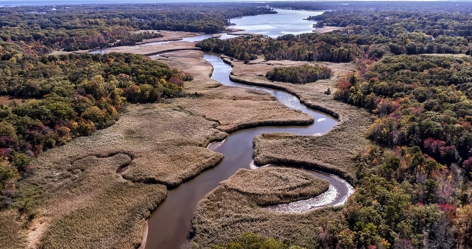
Manasquan River
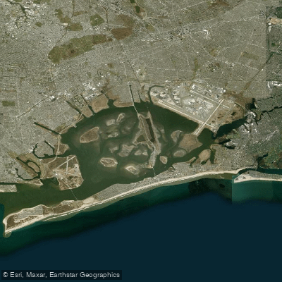
Jamaica Bay

Delaware River
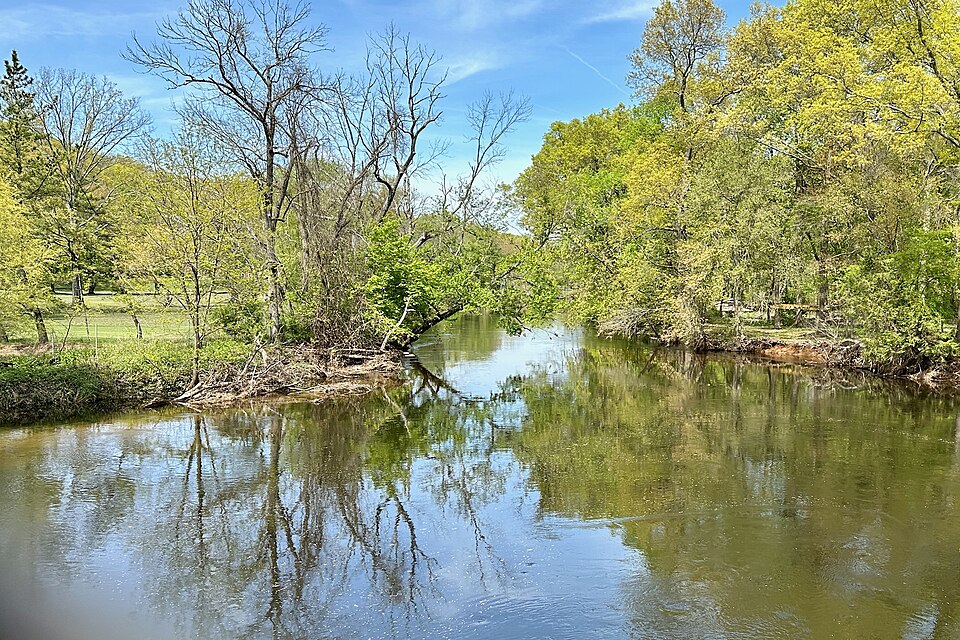
Rockaway River
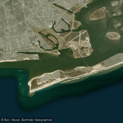
Rockaway Inlet
South Branch Raritan River
Explore New Jersey waters
Top paddling waters
Popular Cities
Loading popular cities...
Explore near Navesink River
Access points
Nearby waters
More in New Jersey

Smarter Paddling Starts in the App.
Paddleways gives you everything you need to plan smarter, paddle better, and own every trip from first launch to takeout.