Cochiti Lake
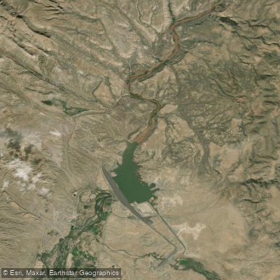
Cochiti Lake
- Boat Ramps
- 4
- Access Points
- 6
- Campsites
- 2
Cochiti Lake is a no-wake lake located in Sandoval County, New Mexico, about 50 miles upstream from Albuquerque on the Rio Grande. The lake offers two public recreation areas for paddlers: the Cochiti Recreation Area on the west side and the Tetilla Peak Recreation Area on the east side. Both areas have boat ramps for launching kayaks and other vessels.
The lake's calm waters make it ideal for beginners and families looking for a relaxed paddling experience. As a no-wake lake, paddlers don't have to contend with waves from motorized boats. The surrounding landscape features views of mountains and open skies.
Cochiti Lake is open year-round, though the Tetilla Peak area is only open from April to October. Alcohol is prohibited on the lake. All areas outside the two designated recreation areas are off-limits, as they are owned by the Cochiti Pueblo.
Wildlife viewing opportunities abound for paddlers. The lake is home to various fish species including bass, crappie, walleye, catfish, sunfish and trout. Birdwatching is also popular, with osprey nesting platforms erected around the shoreline. On the east side of the lake, paddlers may spot deer, coyotes, river otters, rabbits, beavers and occasionally bears.
Facilities for paddlers include picnic areas and campgrounds. The Cochiti Recreation Area has a swim beach and covered picnic sites. Camping is available with both RV and tent sites.
Paddlers should be aware that Cochiti Lake was created by the Cochiti Dam, one of the largest earth-fill dams in the United States. The dam and lake serve important flood and sediment control functions for the Rio Grande.
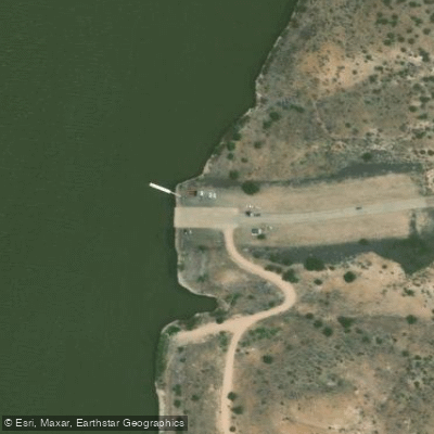
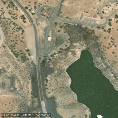
Water access, boat ramps & amenities
Learn how to get on Cochiti Lake. Uncover great paddling access points, boat ramps, and all the facilities you need for an unforgettable day on the water. Some locations shown may border or include private property. Always check property boundaries and applicable regulations before visiting. PaddleWays's Public & Private Land layer can help you plan your access with confidence.
Paddle smarter with real-time insights
Whether you're en route and conditions shift or you're looking for the best spot based on current flows, we enable you to make informed decisions on the fly.








Find Places to Paddle

Over 400,000 Places to Paddle
Every user gets free access to launch points, boat ramps, and public property parcels.


Water and weather conditions (10 day forecast)
See the best times to paddle Cochiti Lake and check the forecast before you go.
COCHITI LAKE NEAR COCHITI PUEBLO, NM
Paddling near Cochiti Lake

Rio Grande
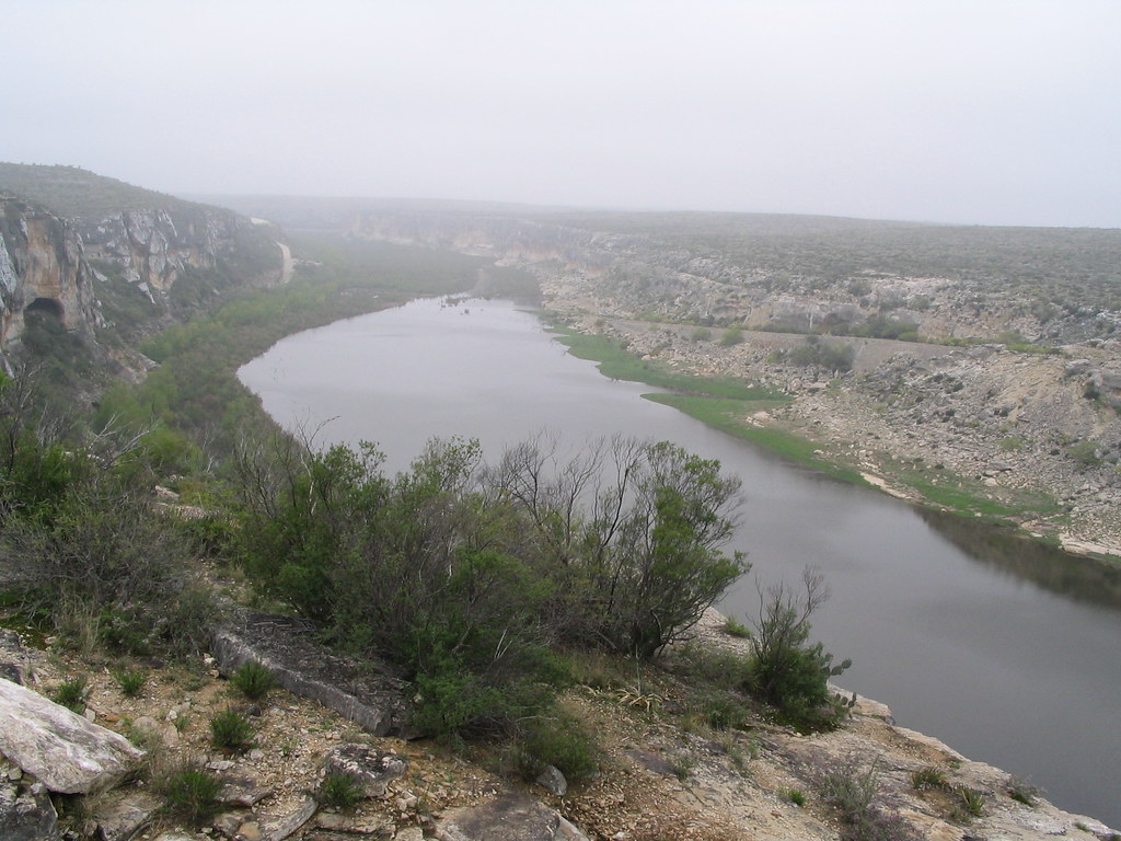
Pecos River
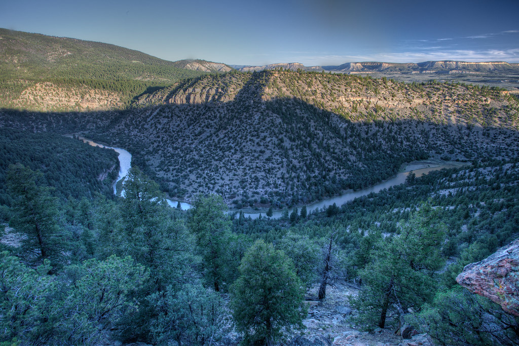
Rio Chama
Jemez River
Winsor Creek
San Antonio Creek
Storrie Lake
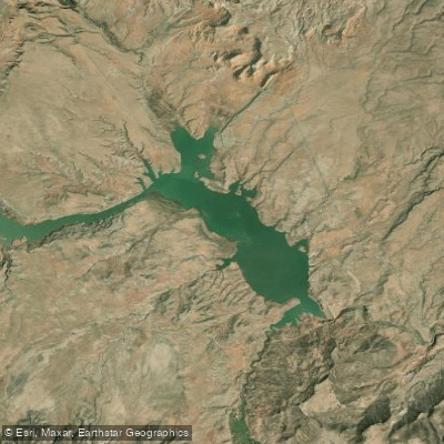
Abiquiu Reservoir
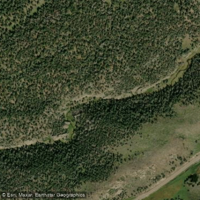
East Fork Jemez River
Explore New Mexico waters
Top paddling waters
Popular Cities
Loading popular cities...
Explore near Cochiti Lake
Access points
Nearby waters
More in New Mexico

Smarter Paddling Starts in the App.
Paddleways gives you everything you need to plan smarter, paddle better, and own every trip from first launch to takeout.