Winsor Creek
Winsor Creek
- Boat Ramps
- 0
- Access Points
- 1
- Campsites
- 18
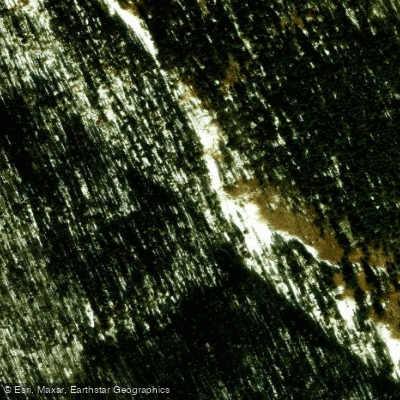
Winsor Creek, a tributary of the Pecos River in northern New Mexico, originates high in the Sangre de Cristo Mountains near Santa Fe. This small but significant waterway flows southeast through the Santa Fe National Forest, eventually joining the Pecos River near the town of Tererro. While Winsor Creek itself is not typically paddled due to its size, it plays a crucial role in the broader Pecos River watershed and offers excellent fishing opportunities.
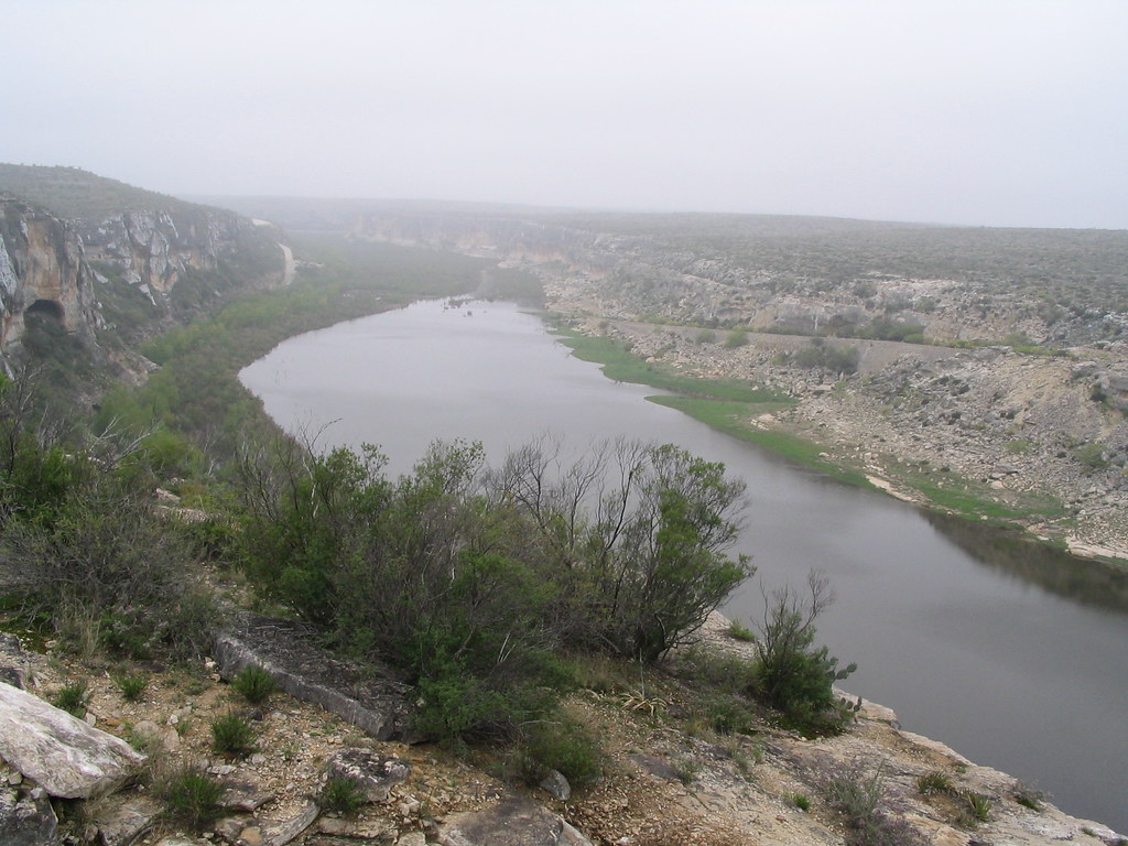
The creek's most notable paddling connection is its confluence with the Pecos River, which marks the beginning of an exciting whitewater section. From Villanueva State Park, just downstream of where Winsor Creek joins the Pecos, paddlers can embark on a challenging 19-mile run through a steep-walled canyon. This section, sometimes referred to as the Villanueva Whitewater Section or Pecos River Whitewater Section, offers Class II-III rapids during its short season, typically from May to June. The difficulty of this run makes it best suited for intermediate to advanced paddlers who are comfortable with technical whitewater and remote settings. The canyon's rugged beauty and isolation add to the adventure, but also require careful preparation and self-reliance.
Winsor Creek and its surrounding area are known for their rich biodiversity. The creek supports populations of brown and rainbow trout, making it a popular destination for fly fishing enthusiasts. The surrounding forest is home to diverse wildlife, including elk, mule deer, and various bird species.
A key landmark associated with Winsor Creek is the Winsor Trail, a challenging 12.9-mile hiking route that parallels portions of the creek. This trail offers hikers and backpackers stunning views of the creek and surrounding mountains, connecting to a network of trails in the Pecos Wilderness.
Access to Winsor Creek for fishing and hiking is primarily through the Santa Fe National Forest. The nearest significant town is Pecos, about 25 miles southeast of the creek's headwaters. For paddlers interested in the Pecos River section, Villanueva State Park serves as the primary put-in.
Historically, the area around Winsor Creek was inhabited by Pueblo peoples and later became part of Spanish land grants. Today, it remains an important ecological and recreational resource, requiring careful management to balance use with conservation. Visitors should be aware of rapidly changing weather conditions in the mountains and practice Leave No Trace principles. For those planning to fish, a valid New Mexico fishing license is required, and special regulations may apply to certain sections of the creek.
While Winsor Creek itself doesn't offer multi-day paddling trips, its connection to the Pecos River opens up possibilities for extended river journeys through some of New Mexico's most scenic and challenging whitewater terrain.
Water access, boat ramps & amenities
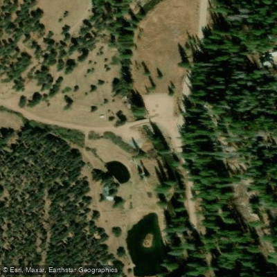
Learn how to get on Winsor Creek. Uncover great paddling access points, boat ramps, and all the facilities you need for an unforgettable day on the water. Some locations shown may border or include private property. Always check property boundaries and applicable regulations before visiting. PaddleWays's Public & Private Land layer can help you plan your access with confidence.
Paddle smarter with real-time insights
Whether you're en route and conditions shift or you're looking for the best spot based on current flows, we enable you to make informed decisions on the fly.








Find Places to Paddle

Over 400,000 Places to Paddle
Every user gets free access to launch points, boat ramps, and public property parcels.


Water and weather conditions (10 day forecast)
See the best times to paddle Winsor Creek and check the forecast before you go.
No forecast data available.
Paddling near Winsor Creek

Rio Grande
Pecos River
Rio Chama
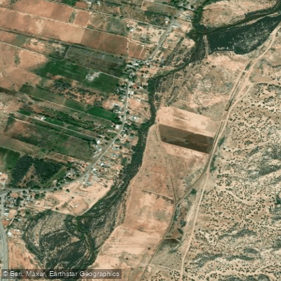
Jemez River
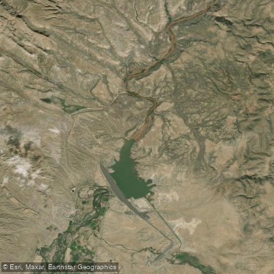
Cochiti Lake
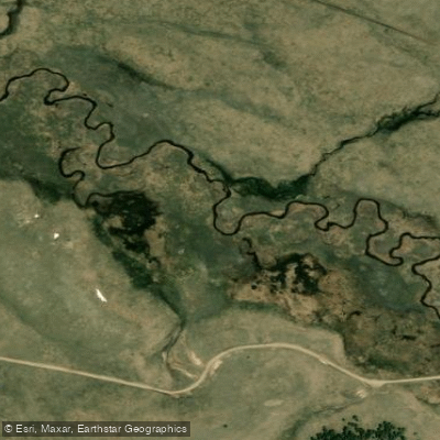
San Antonio Creek
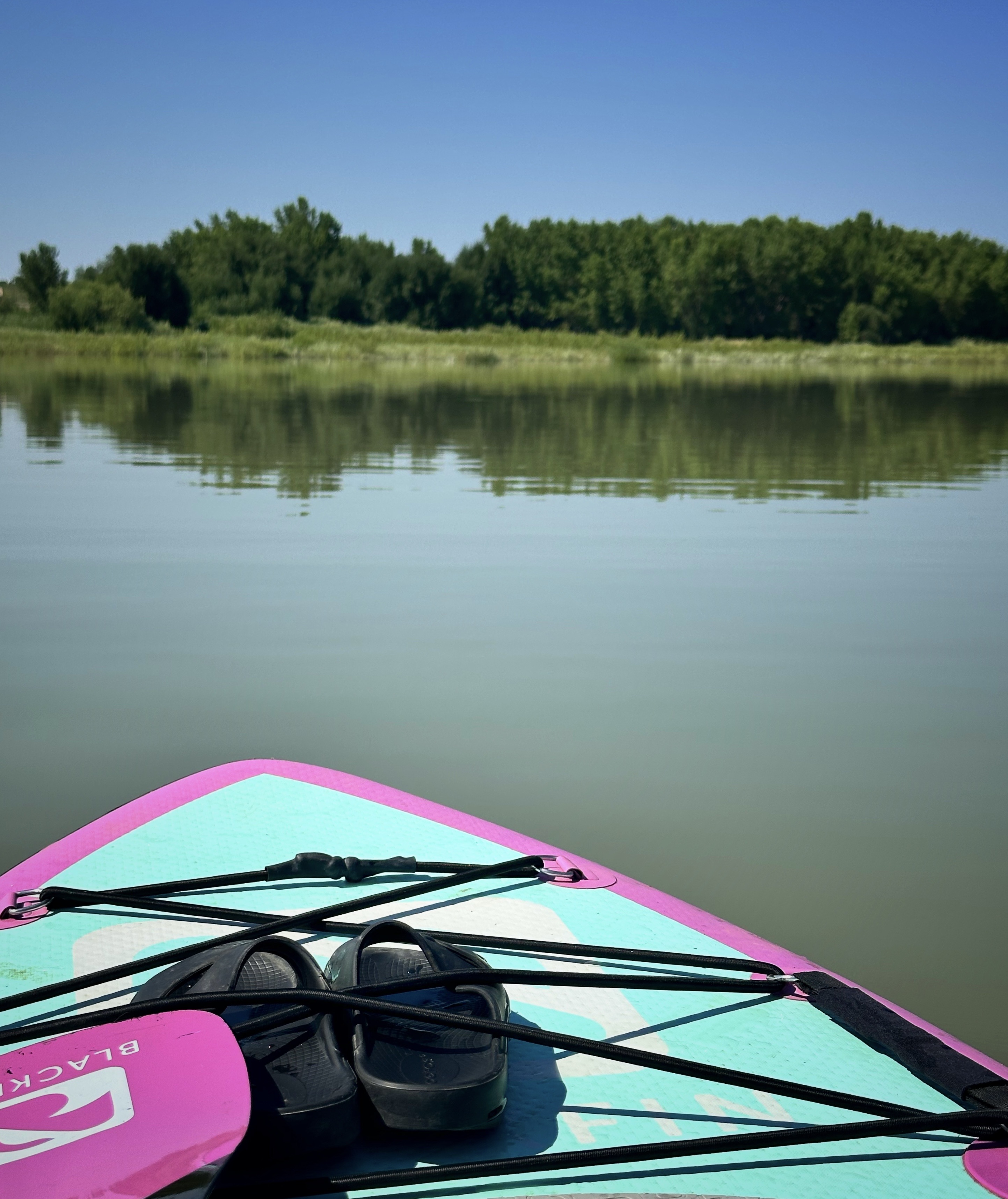
Storrie Lake
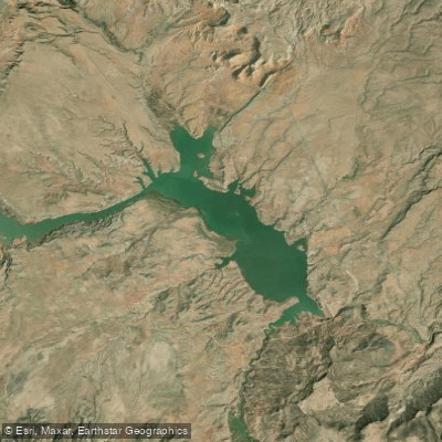
Abiquiu Reservoir
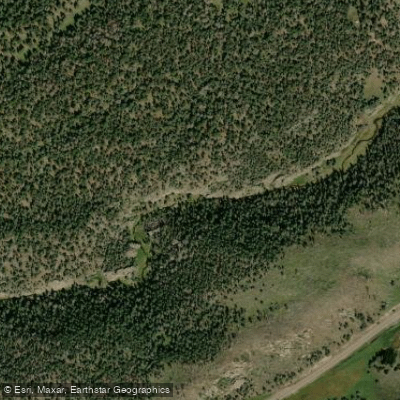
East Fork Jemez River
Explore New Mexico waters
Top paddling waters
Popular Cities
Loading popular cities...
Explore near Winsor Creek
Access points
Nearby waters
More in New Mexico

Smarter Paddling Starts in the App.
Paddleways gives you everything you need to plan smarter, paddle better, and own every trip from first launch to takeout.