San Antonio Creek
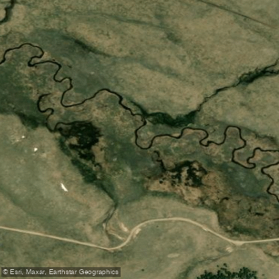
San Antonio Creek
- Boat Ramps
- 0
- Access Points
- 8
- Campsites
- 10
The San Antonio Creek in northern New Mexico is a remote and seldom-paddled gem that offers adventurous whitewater through a dramatic volcanic landscape. Originating in the high country of Rio Arriba County, this tributary of the Rio Grande flows south through rugged canyons before joining the larger river. The primary paddling section runs 20 miles from the small community of Lagunitas to Los Pinos. This Class II-III stretch takes boaters through a seldom-seen volcanic gorge, providing a unique perspective on New Mexico's geologic history. The creek's moderate difficulty makes it suitable for intermediate paddlers with solid whitewater skills.
Spring snowmelt, typically peaking in May and early June, offers the most reliable flows. However, summer monsoon rains can create sporadic paddling opportunities. The remote nature of the canyon means paddlers should be prepared for self-rescue and bring appropriate safety gear.
The San Antonio Creek's course through volcanic terrain has created a distinct ecosystem. Ponderosa pines and juniper trees line the canyon rims, while riparian vegetation thrives along the water's edge. Wildlife sightings may include mule deer, coyotes, and various raptors soaring above the gorge.
Access to the river is limited, adding to its wilderness appeal. The put-in near Lagunitas requires a bumpy drive on forest roads, while the take-out at Los Pinos is more readily accessible. Paddlers often pass through this area en route to the nearby Brazos Box, another challenging whitewater run in the region.
The creek's flow through ancestral Pueblo and Hispanic lands imbues the journey with cultural significance. While no major archaeological sites are visible from the river, the area has a rich history of human habitation stretching back centuries.
For those seeking a multi-day adventure, the full 20-mile run can be split into two days with primitive camping along the shore. However, paddlers must be entirely self-sufficient and practice Leave No Trace principles in this pristine environment. Private property issues may affect access in some areas, so it's crucial to research current conditions and obtain any necessary permissions before embarking on a trip.
The San Antonio Creek's remoteness, combined with its moderate whitewater and stunning scenery, makes it a prized destination for those seeking solitude and adventure in northern New Mexico's backcountry.
Water access, boat ramps & amenities
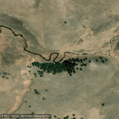
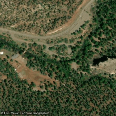
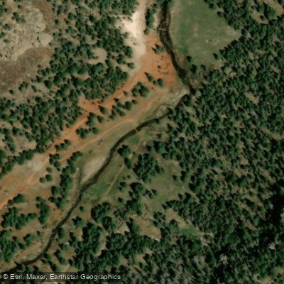
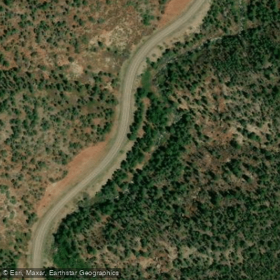
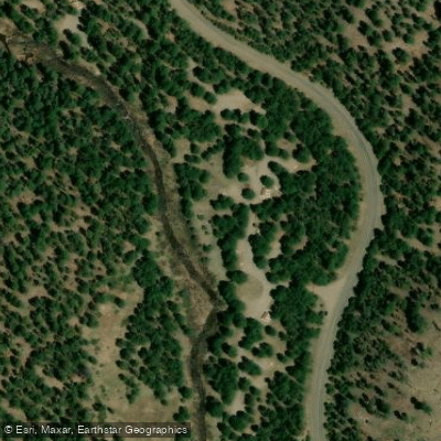
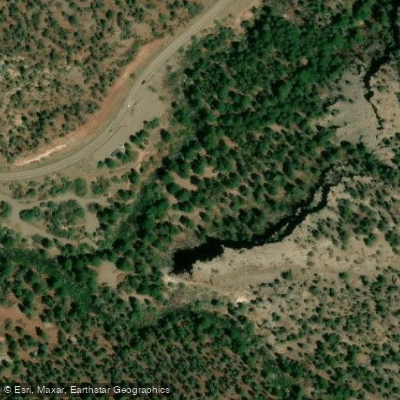
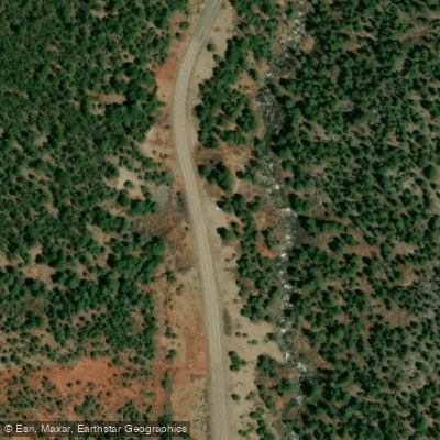
Learn how to get on San Antonio Creek. Uncover great paddling access points, boat ramps, and all the facilities you need for an unforgettable day on the water. Some locations shown may border or include private property. Always check property boundaries and applicable regulations before visiting. PaddleWays's Public & Private Land layer can help you plan your access with confidence.
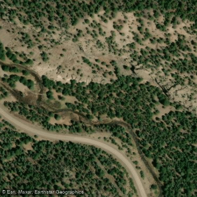
Paddle smarter with real-time insights
Whether you're en route and conditions shift or you're looking for the best spot based on current flows, we enable you to make informed decisions on the fly.








Find Places to Paddle

Over 400,000 Places to Paddle
Every user gets free access to launch points, boat ramps, and public property parcels.


Water and weather conditions (10 day forecast)
See the best times to paddle San Antonio Creek and check the forecast before you go.
No forecast data available.
Paddling near San Antonio Creek

Rio Grande
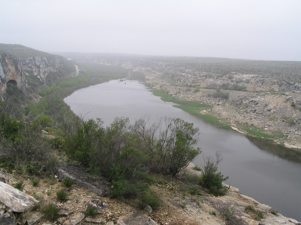
Pecos River
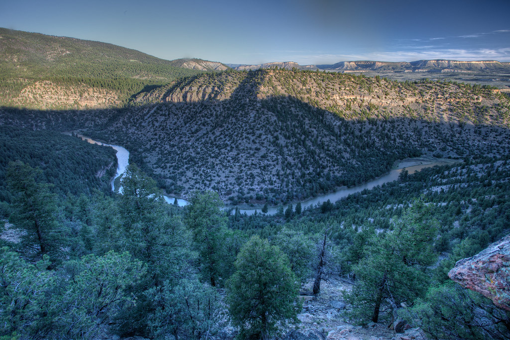
Rio Chama
Jemez River
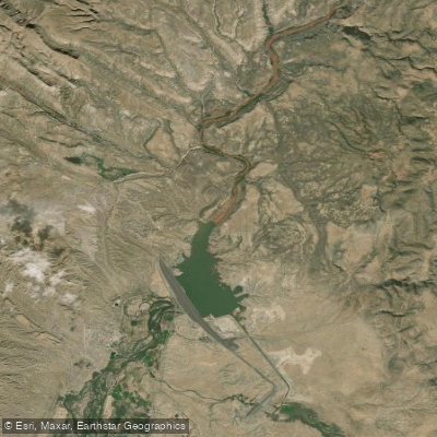
Cochiti Lake

Winsor Creek
Storrie Lake
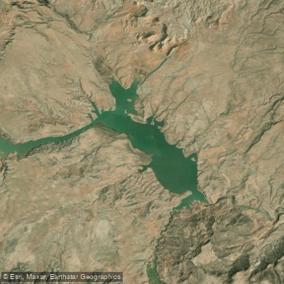
Abiquiu Reservoir
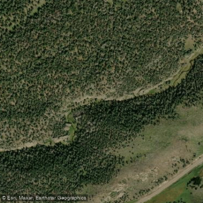
East Fork Jemez River
Explore New Mexico waters
Top paddling waters
Popular Cities
Loading popular cities...
Explore near San Antonio Creek
Access points
Nearby waters
More in New Mexico

Smarter Paddling Starts in the App.
Paddleways gives you everything you need to plan smarter, paddle better, and own every trip from first launch to takeout.