East Fork Jemez River
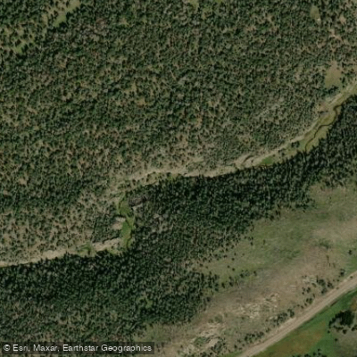
East Fork Jemez River
- Boat Ramps
- 0
- Access Points
- 5
- Campsites
- 6
The East Fork Jemez River originates as a small meandering stream in the vast grassland crater of Valle Grande within Valles Caldera National Preserve in northern New Mexico's Jemez Mountains. From its headwaters, the river flows southwest for approximately 20 miles through scenic canyons before joining San Antonio Creek at Battleship Rock to form the main stem of the Jemez River.
Paddling opportunities on the East Fork Jemez vary from placid flatwater meandering through open meadows in its upper reaches to more technical Class II-III whitewater as the river enters a narrow canyon downstream. The upper 9-mile Valle Grande Meander section offers a gentle float with stunning views of the caldera's volcanic landscape. Below this, the East Fork Canyon Run features an 8-mile stretch through a constricted rocky gorge, including a popular quarter-mile slot canyon with pools and small waterfalls.
Water levels are typically highest in spring during snowmelt, with late summer monsoon rains sometimes creating brief paddling windows. Fall can offer stable flows amidst colorful foliage. The river's difficulty ranges from beginner-friendly flatwater to intermediate whitewater requiring solid boat control and scouting skills in the canyon sections.
The East Fork's banks host diverse riparian vegetation, conifer forests, and wildflower meadows. Wildlife includes elk, mule deer, black bears, and a variety of bird species. Once home to abundant Rio Grande cutthroat trout, efforts are ongoing to restore native fish populations.
Key landmarks include Valle Grande's expansive grasslands, the narrow East Fork slot canyon, and the confluence with San Antonio Creek at Battleship Rock. Primary access points are located in Valle Grande, near Las Conchas Fishing Area, and at Battleship Rock, all accessible from NM State Highway 4. The nearest town is Jemez Springs.
Designated as a National Wild and Scenic River, the East Fork Jemez holds cultural significance for nearby Jemez Pueblo and other Native American tribes. Its geologic features showcase the region's volcanic history.
Paddlers should be aware of potential hazards in the canyon sections, including strainers and difficult portages. Some areas have limited river access due to steep terrain. Permits may be required for certain sections, and users should check current regulations with Valles Caldera National Preserve and Santa Fe National Forest. While primarily suited for day trips, ambitious paddlers could potentially arrange multi-day adventures combining the East Fork with the main Jemez River downstream, though careful planning and local knowledge would be essential.
Water access, boat ramps & amenities
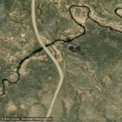
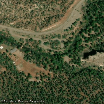
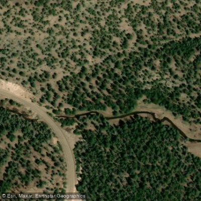
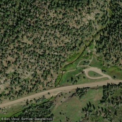
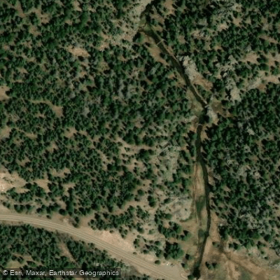
Learn how to get on East Fork Jemez River. Uncover great paddling access points, boat ramps, and all the facilities you need for an unforgettable day on the water. Some locations shown may border or include private property. Always check property boundaries and applicable regulations before visiting. PaddleWays's Public & Private Land layer can help you plan your access with confidence.
Paddle smarter with real-time insights
Whether you're en route and conditions shift or you're looking for the best spot based on current flows, we enable you to make informed decisions on the fly.








Find Places to Paddle

Over 400,000 Places to Paddle
Every user gets free access to launch points, boat ramps, and public property parcels.


Water and weather conditions (10 day forecast)
See the best times to paddle East Fork Jemez River and check the forecast before you go.
No forecast data available.
Paddling near East Fork Jemez River

Rio Grande
Pecos River
Rio Chama
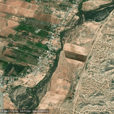
Jemez River
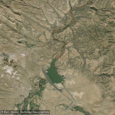
Cochiti Lake
Winsor Creek
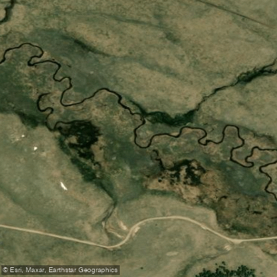
San Antonio Creek
Storrie Lake
Abiquiu Reservoir
Explore New Mexico waters
Top paddling waters
Popular Cities
Loading popular cities...
Explore near East Fork Jemez River
Access points
Nearby waters
More in New Mexico

Smarter Paddling Starts in the App.
Paddleways gives you everything you need to plan smarter, paddle better, and own every trip from first launch to takeout.