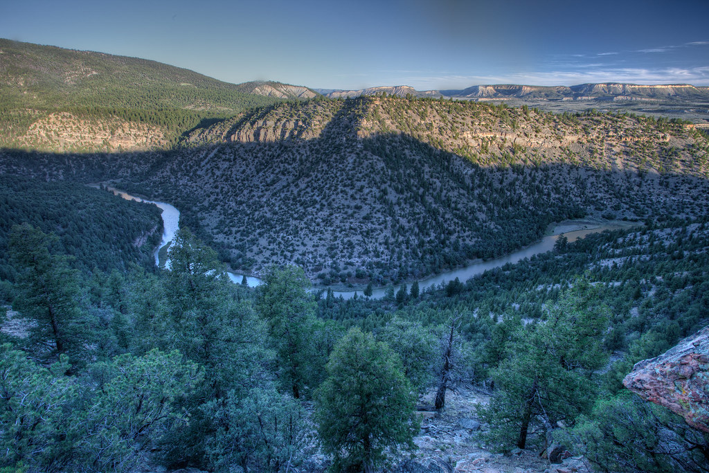
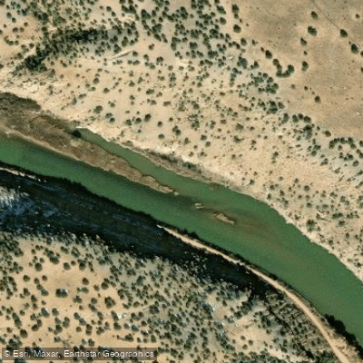
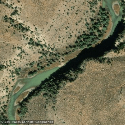
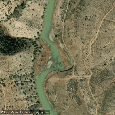
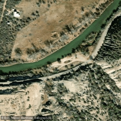
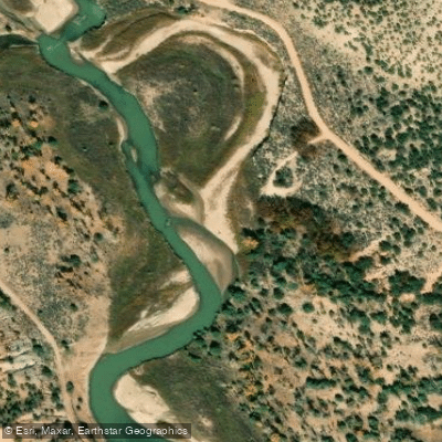
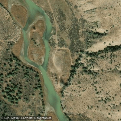
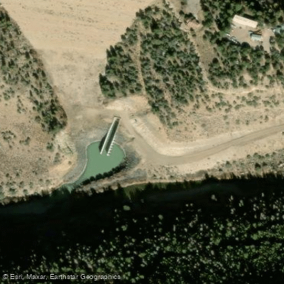
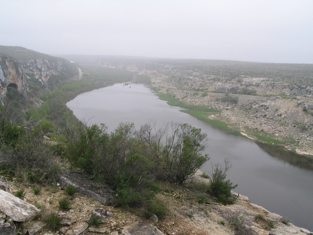
The Rio Chama is a scenic and popular river in northern New Mexico, flowing through a stunning landscape of colorful sandstone canyons and forested wilderness. As a major tributary of the Rio Grande, the Chama offers paddlers a range of experiences, from peaceful float trips to more challenging whitewater adventures.
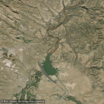
The most renowned section of the Rio Chama is the 31-mile stretch from El Vado Ranch to Big Eddy takeout near Abiquiu Lake. This segment includes 24.6 miles of federally designated Wild and Scenic River, showcasing some of New Mexico's most breathtaking scenery.
The river winds through the Rio Chama Canyon Wilderness, where paddlers are treated to views of towering sandstone cliffs painted in desert hues, heavily wooded side canyons, and diverse wildlife. With difficulty ratings ranging from Class I to III, the Rio Chama is suitable for a wide range of skill levels. The upper sections near the town of Chama offer more challenging Class III-IV rapids, while the popular wilderness run provides a mix of calm floats and exciting Class II-III rapids. This variety makes the Chama an excellent choice for both experienced paddlers and families looking for a more relaxed adventure.
The best time to paddle the Rio Chama is typically from spring through early fall, with the most reliable flows occurring from April to September. Weekend releases from El Vado Dam during the summer months ensure consistent water levels for boaters. However, it's essential to check current flow information before planning a trip, as conditions can vary.
Wildlife enthusiasts will appreciate the rich ecosystem along the Rio Chama. The river corridor is home to a diverse array of flora and fauna, including ponderosa pines, cottonwoods, and juniper trees. Lucky paddlers might spot mule deer, elk, black bears, or even golden eagles soaring above the canyon walls. The river also supports a healthy population of brown and rainbow trout, making it a popular destination for anglers.
Several notable landmarks punctuate the journey down the Rio Chama. The Christ in the Desert Monastery, located near the river, offers a unique cultural point of interest. Paddlers will also pass by impressive geological features like the colorful Entrada Sandstone formations and the dramatic White Rock Canyon.
Access to the Rio Chama is primarily through a few key points. The town of Chama serves as a gateway to the upper reaches, while El Vado Ranch is the primary put-in for the wilderness run. Chavez Canyon, located about 22 miles downstream from El Vado, offers a popular access point for day trips. The journey typically ends at Big Eddy takeout above Abiquiu Lake.
The Rio Chama holds significant historical and cultural importance. The surrounding area has been home to various Native American peoples for centuries, and Spanish settlers later established communities along its banks. Today, the river plays a crucial role in New Mexico's water management system while also serving as a vital recreational resource.
Safety is paramount on the Rio Chama, and all boaters are required to carry appropriate safety equipment, including life jackets and a washable, reusable human waste container. Permits are required for the wilderness section between El Vado Ranch and Chavez Canyon from April 15 to September 15, with a lottery system in place for weekend launches during peak season.
For those seeking a multi-day adventure, the full 31-mile wilderness run from El Vado Ranch to Big Eddy is a popular choice, typically completed over two to three days. This trip allows paddlers to fully immerse themselves in the remote beauty of the canyon, with numerous scenic campsites along the way. Shorter options include the 8.5-mile day section from Chavez Canyon to Big Eddy, which doesn't require advance permits.
Whether you're looking for a peaceful float through pristine wilderness or a more adventurous whitewater experience, the Rio Chama offers a quintessential New Mexico river journey, combining natural beauty, rich history, and exciting paddling opportunities.