Curated by PaddleWays
RouteClass II–V
- Distance
- 6.2 mi
- Paddle time
- ~1.5 hrs
- Best for
- Experienced paddlers
- Put-in → take-out
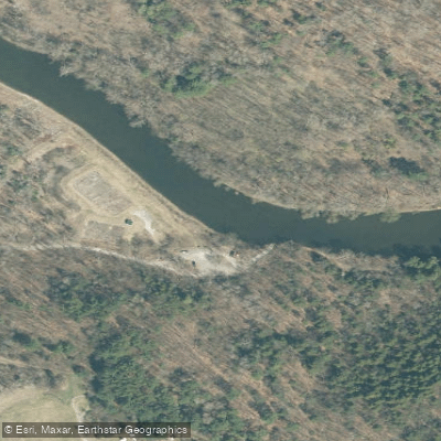
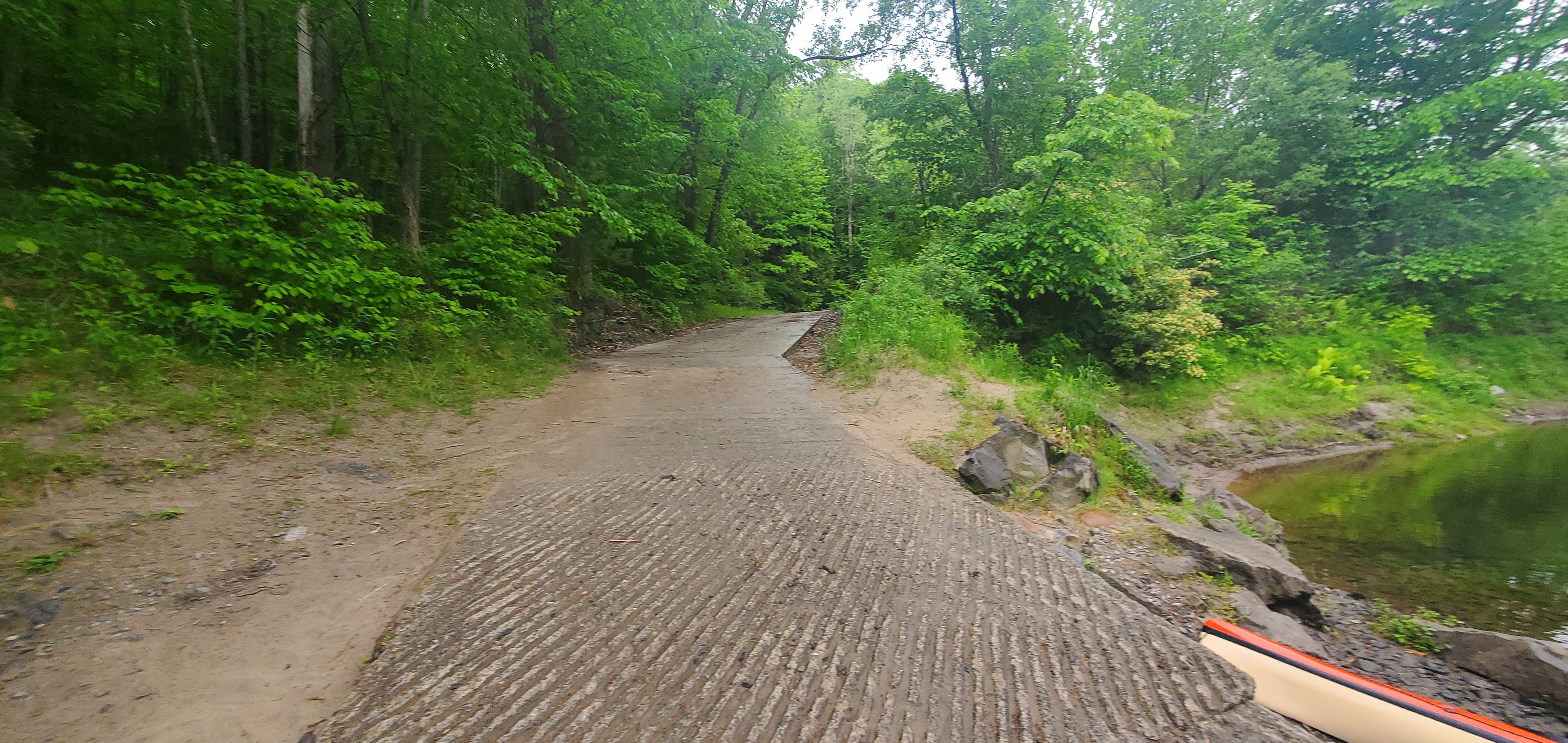
- Boquet Access → Willsboro Access
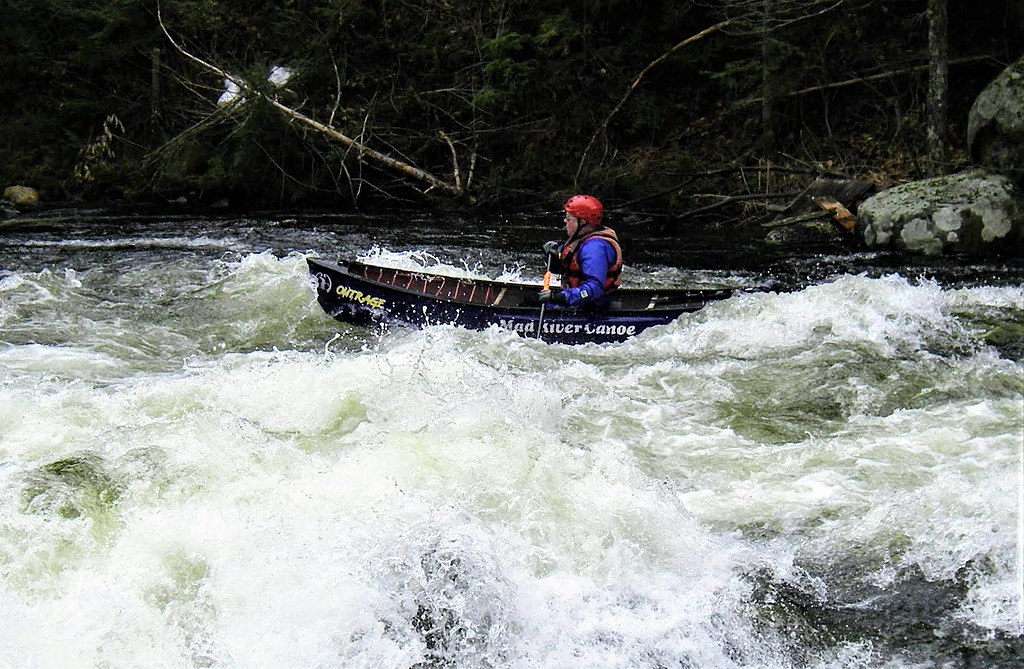
Class V rapids on the run
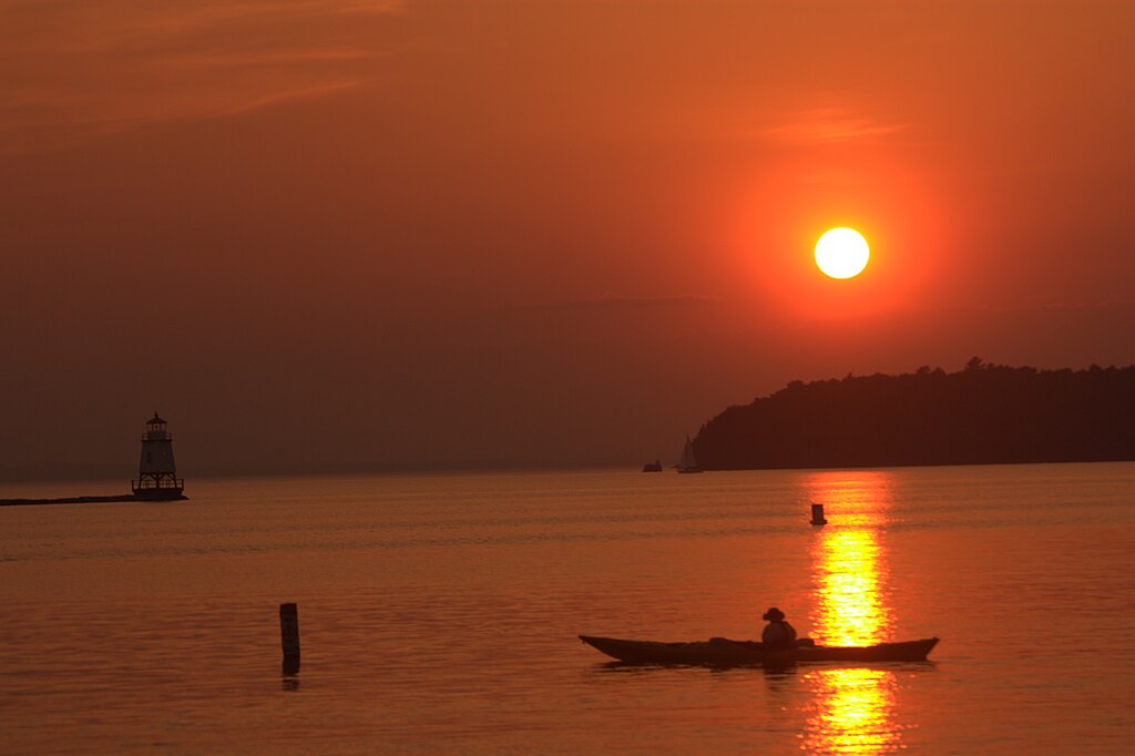
The Boquet River is a waterway originating in the Adirondack High Peaks region of New York. It flows northeastward for approximately 40 miles before emptying into Lake Champlain near Willsboro. The river's main stem is formed by the confluence of the North and South Branches near New Russia. Paddlers can experience a range of conditions on the Boquet, from calm flatwater sections to challenging whitewater rapids. The upper reaches offer technical class III-IV+ paddling through narrow gorges and over waterfalls, while the lower sections provide more relaxed class I-II floating suitable for beginners and families.
Notable paddling sections include: - Route 73 to Split Rock Falls: A challenging 8.2-mile class III+ to IV+ run with continuous rapids and the impressive Split Rock Falls. - Elizabethtown to Route 10: A 17.6-mile class II-III stretch with a mix of rapids and scenic views. - Whallonsburg to Willsboro: A calmer 10-mile section ideal for novice paddlers and wildlife viewing.
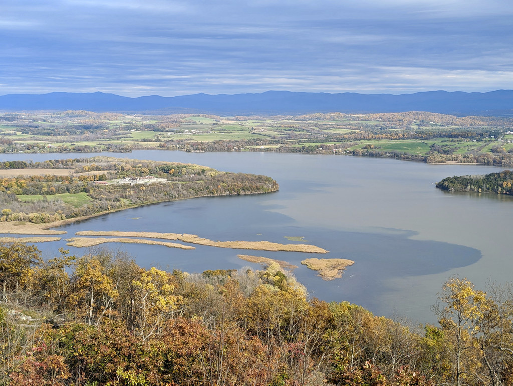
The river is typically paddled from spring through fall, with optimal water levels in April-May during snowmelt and after heavy rains. The surrounding landscape features a mix of dense forests, open farmland, and rocky gorges, providing habitat for diverse wildlife including bald eagles, osprey, and river otters. Key landmarks include Split Rock Falls, a dramatic two-stage waterfall, and the historic Willsboro Dam. Primary access points are found near Elizabethtown, New Russia, Whallonsburg, and Willsboro.
The river played an important role in the region's logging and milling history, with remnants of old dams and industrial sites visible along its banks. Paddlers should be aware of strainers, undercut rocks, and powerful hydraulics, especially in the upper gorges. All boaters should wear proper safety gear and check water levels before their trip.
For multi-day adventures, paddlers can combine sections of the Boquet with camping at designated sites or explore nearby Lake Champlain. The Boquet River offers a quintessential Adirondack paddling experience, from exhilarating whitewater to serene floats through pristine wilderness, making it a cherished destination for outdoor enthusiasts in northern New York.
Curated routes
Hand-picked by the PaddleWays team, with put-ins, take-outs, paddle times and the hazards along the way.
RouteClass II–V
RouteClass II–III
RouteClass II–III
RouteClass II–IV
Hazards
No paddler has reported a hazard here yet, so these are the dams, falls and big rapids on our map. Hazards change with flows and storms, so check them before you launch.
From the community
Nobody has shared a trip on Boquet River yet. Paddle it, then tell the next paddler how it went.
See exactly where the public can get on and off the river. Launch points and boat ramps are paired with PaddleWays' public land data so you know where you can legally land.
Public shoreline
14%of the river's shoreline is public
Most of the riverbank is private. Launch, land and camp only at public access points.
Flows, weather and a route-by-route verdict, so you know which stretch of the Boquet River is worth paddling today.
Live flows, marked hazards and fresh trip reports from paddlers who were just on the water, all in one place.





Every user gets free access to launch points, boat ramps, and public property parcels.


Loading popular cities...
PaddleWays gives you everything you need to plan smarter, paddle better, and own every trip from first launch to takeout.