La Chute
La Chute
- Boat Ramps
- 1
- Access Points
- 4
- Campsites
- 56
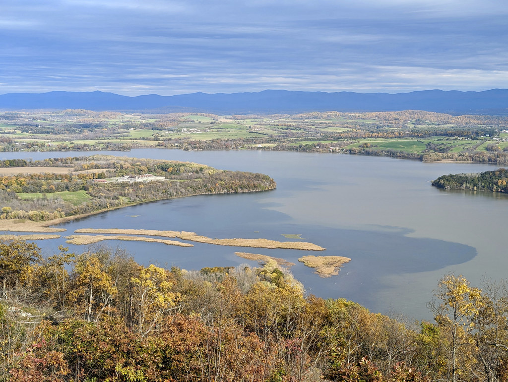
The La Chute River is a short but significant waterway in northeastern New York, connecting Lake George to Lake Champlain. This 3.5-mile river flows northward through the historic town of Ticonderoga, dropping dramatically in elevation before emptying into Lake Champlain. The river offers two distinct paddling experiences.
The upper section, known as the La Chute Whitewater Run, is a challenging 3.5-mile stretch of Class II-V+ rapids. This section begins near the outlet of Lake George and ends below the falls in Ticonderoga. It's recommended for experienced whitewater paddlers only, with scouting advised due to the technical nature of the rapids. In contrast, the lower section provides a leisurely flatwater paddle suitable for canoeists and kayakers of all skill levels. This 4-mile round trip (which can be adjusted based on preference) starts at the downtown canoe and kayak launch in Ticonderoga, near the Kissing Bridge in Bicentennial Park.
The river widens and slows as it approaches Lake Champlain, offering scenic views and wildlife viewing opportunities. The best paddling times are typically late spring through early fall, though water levels can vary seasonally. The river is home to various fish species, adding to its ecological interest. Key landmarks include the dramatic falls in Ticonderoga and Fort Ticonderoga, visible from the lower section as the river nears Lake Champlain. The fort serves as a prominent historical point of interest, highlighting the area's rich colonial and Revolutionary War history.
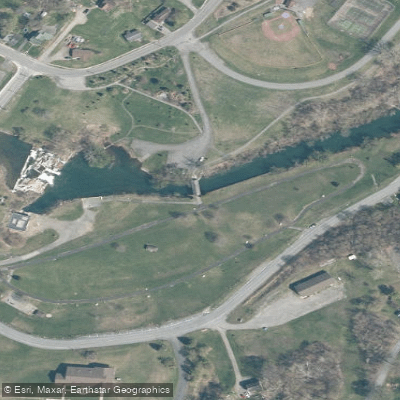
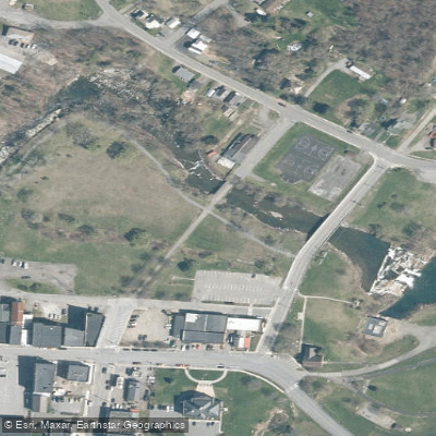
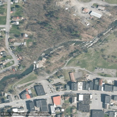
Access points are primarily in Ticonderoga, with the main put-in for the whitewater section near the Lake George outlet and the take-out below the falls. For the flatwater section, the downtown launch in Ticonderoga serves as the primary access point. Safety considerations include proper whitewater gear and experience for the upper section, and awareness of potential wind and waves as the lower section approaches Lake Champlain. Paddlers should also be respectful of private property along the banks.
The La Chute River played a crucial role in the region's development, powering mills and providing a transportation route between the two major lakes. Today, it forms part of the Northern Forest Canoe Trail, attracting paddlers exploring the interconnected waterways of the Northeast. While primarily suited for day trips, the river's connection to Lake George and Lake Champlain allows for extended multi-day adventures for those looking to explore the broader region.
Water access, boat ramps & amenities
Learn how to get on La Chute. Uncover great paddling access points, boat ramps, and all the facilities you need for an unforgettable day on the water. Some locations shown may border or include private property. Always check property boundaries and applicable regulations before visiting. PaddleWays's Public & Private Land layer can help you plan your access with confidence.
Paddle smarter with real-time insights
Whether you're en route and conditions shift or you're looking for the best spot based on current flows, we enable you to make informed decisions on the fly.








Find Places to Paddle

Over 400,000 Places to Paddle
Every user gets free access to launch points, boat ramps, and public property parcels.


Water and weather conditions (10 day forecast)
See the best times to paddle La Chute and check the forecast before you go.
No forecast data available.
Paddling near La Chute

Hudson River
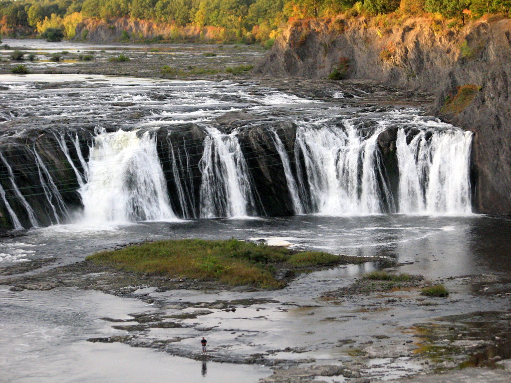
Mohawk River
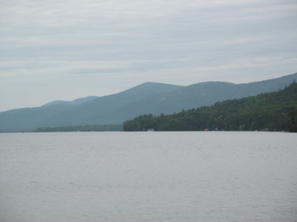
Lake George
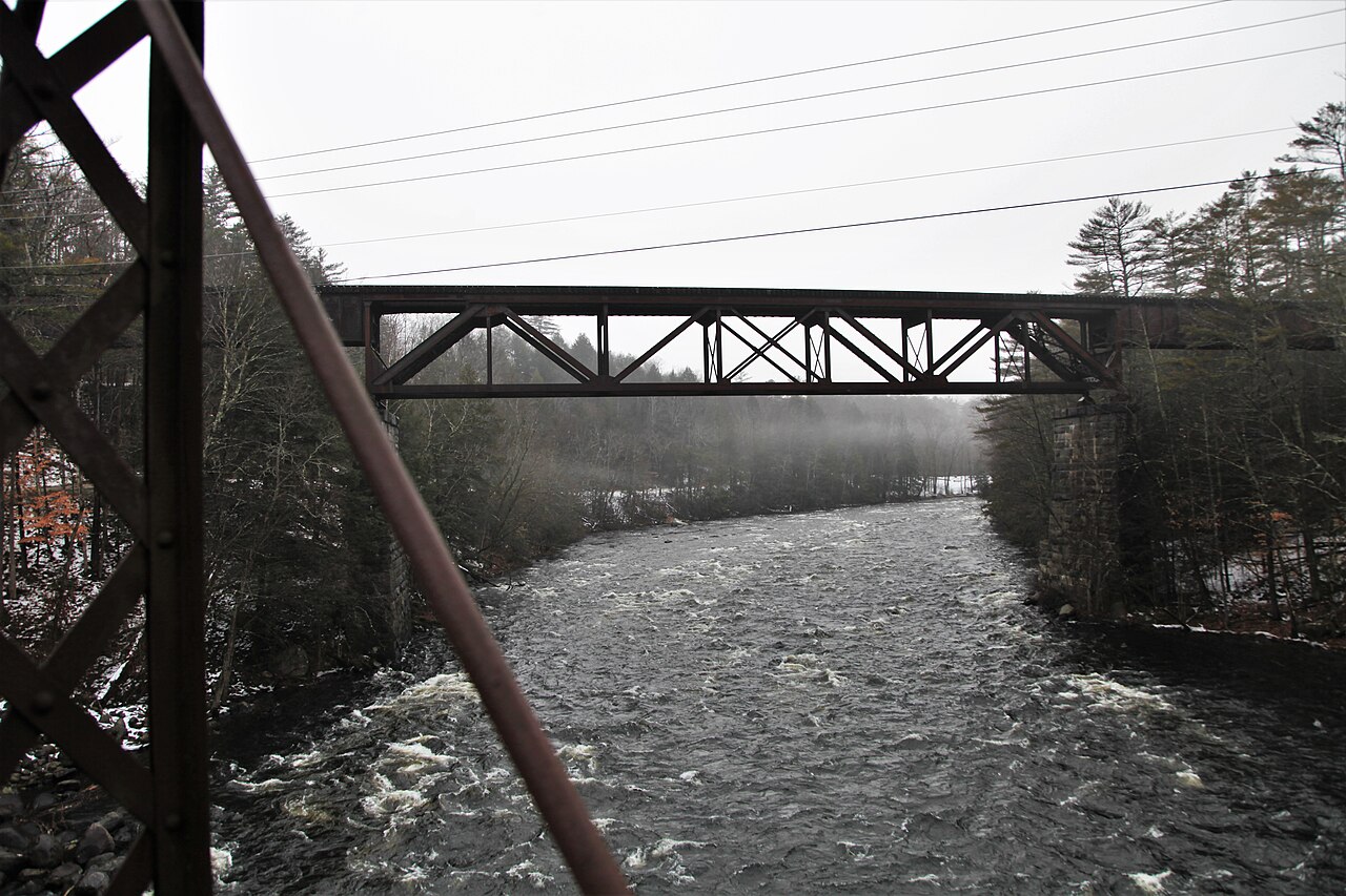
Sacandaga River
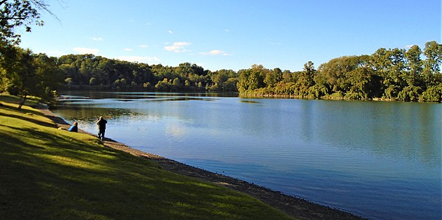
Schoharie Creek
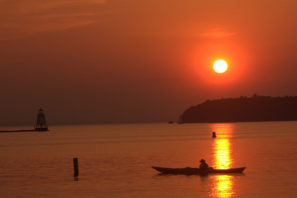
Lake Champlain
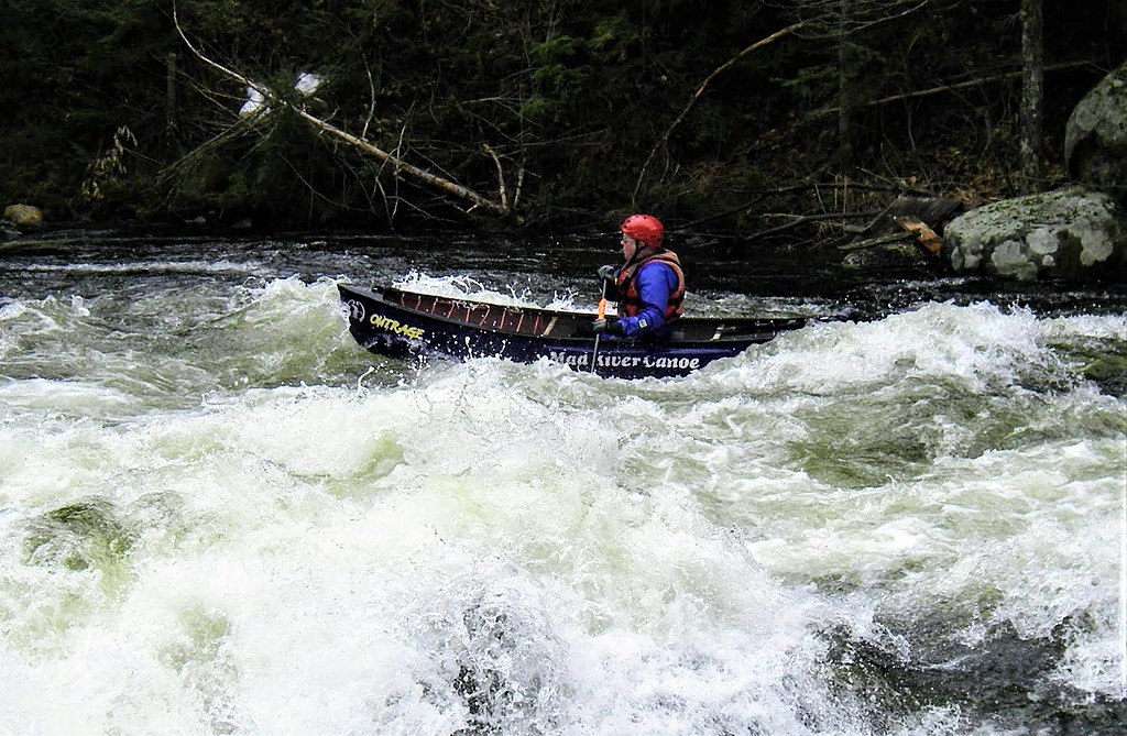
Schroon River
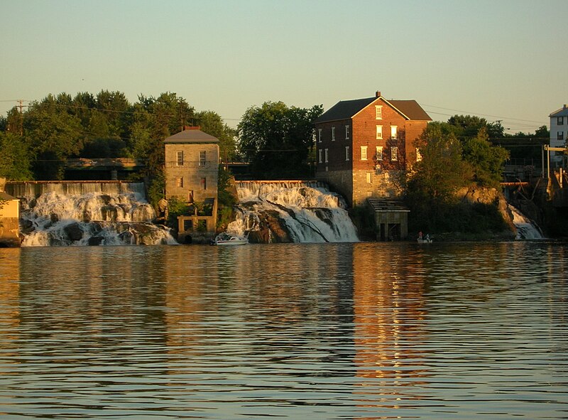
Otter Creek
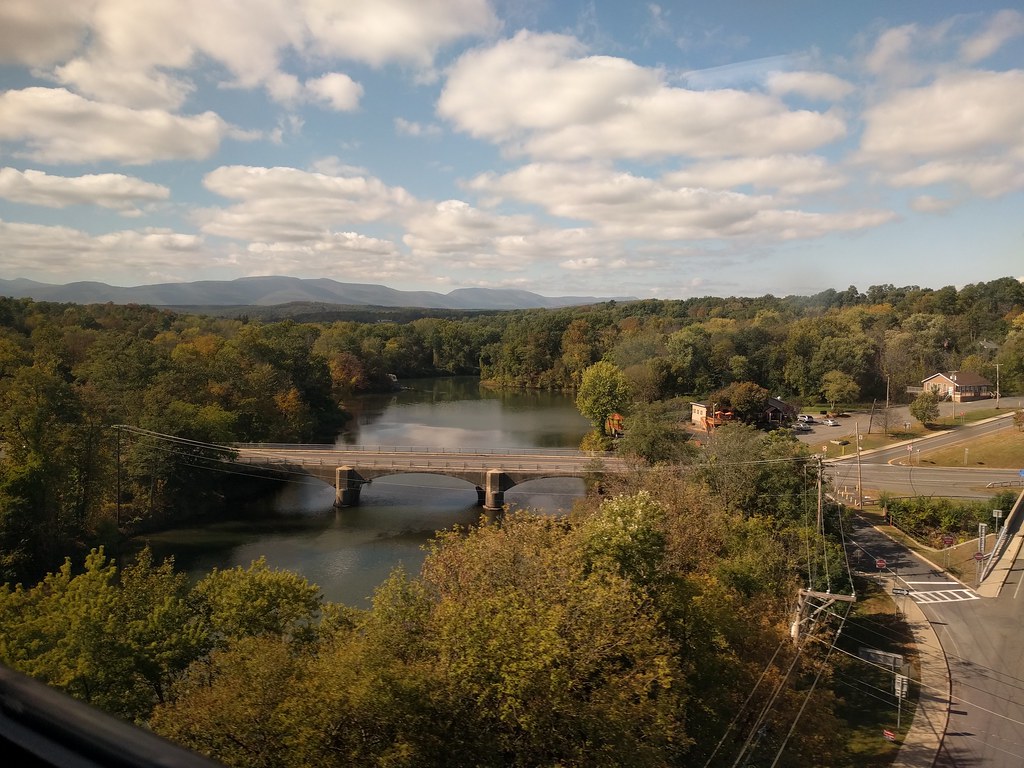
Catskill Creek
Explore New York waters
Top paddling waters
Popular Cities
Loading popular cities...
Explore near La Chute
Access points
Nearby waters
More in New York

Smarter Paddling Starts in the App.
Paddleways gives you everything you need to plan smarter, paddle better, and own every trip from first launch to takeout.