Winooski River
Winooski River
- Boat Ramps
- 5
- Access Points
- 24
- Campsites
- 20
The Winooski River, Vermont's largest tributary to Lake Champlain, offers paddlers a journey through the heart of the Green Mountain State. Stretching approximately 90 miles from its headwaters near Cabot to its mouth at Lake Champlain, the Winooski and its watershed encompass nearly 10% of Vermont's land area, making it a significant ecological and recreational resource.
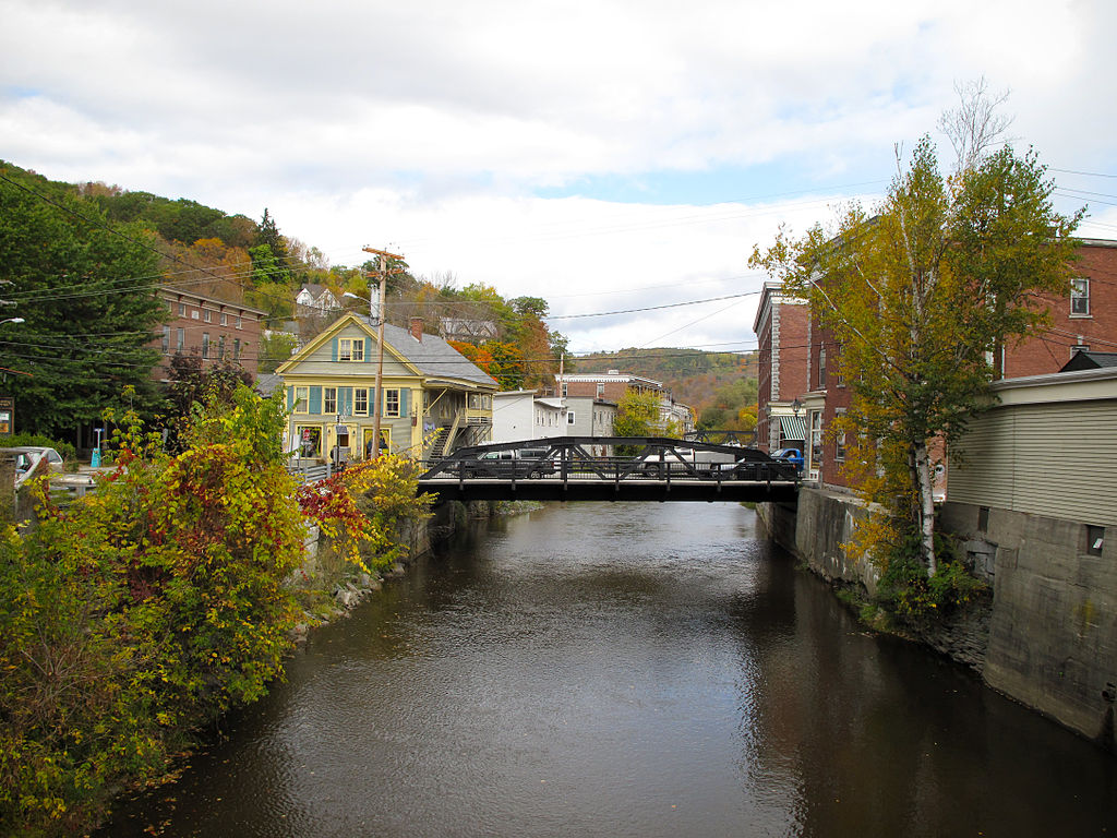
Paddling opportunities on the Winooski range from placid flatwater sections ideal for beginners to challenging whitewater runs that will test even experienced paddlers. The river's upper reaches, from Marshfield to Montpelier, feature a mix of smooth water and Class I-II rapids, with occasional Class III sections. This stretch winds through narrow, forested valleys and past small Vermont villages, offering a quintessential Green Mountain paddling experience.
As the river flows west, it widens and slows, particularly after passing through Montpelier. The section from Middlesex to Waterbury is popular among intermediate paddlers, featuring Class II rapids like Hugo Rapid and Junkyard Rapids, interspersed with calmer stretches. Below Waterbury, the river continues its westward journey, passing through a scenic gorge and offering beautiful views of the surrounding landscape.
The lower sections of the Winooski, particularly from Richmond to Lake Champlain, provide excellent opportunities for novice paddlers and those seeking a more relaxed experience. Here, the river meanders through fertile farmland and offers stunning views of the Adirondacks to the west.
While the Winooski can be paddled from spring through fall, water levels can vary significantly. Spring typically offers the most consistent flows, but can also bring high water and cold temperatures. Summer paddling is popular, though some sections may become quite shallow, requiring careful navigation. Fall offers spectacular foliage views but can be accompanied by cooler temperatures.
The river corridor supports a rich ecosystem, home to various fish species, including trout and bass, as well as numerous bird species. Lucky paddlers might spot bald eagles, great blue herons, or even the occasional river otter. The watershed also boasts diverse plant life, from riverside silver maples to upland northern hardwood forests.
Several notable landmarks dot the Winooski's course. The North Branch Cascades, a series of seven waterfalls just north of Montpelier, offer a spectacular side trip for hikers. The river also passes by historic mill towns and under several covered bridges, testament to Vermont's rich industrial and cultural heritage.
Key access points include Marshfield, Plainfield, Montpelier, Middlesex, Waterbury, Richmond, and Winooski. These towns not only provide convenient put-in and take-out locations but also offer amenities for paddlers, from gear shops to local eateries serving up Vermont specialties.
The Winooski holds significant historical and cultural importance. Its name, derived from the Abenaki word for "wild onion," reflects the indigenous history of the region. The river played a crucial role in Vermont's development, powering mills and providing transportation routes for early settlers.
Safety considerations on the Winooski include being aware of dam locations and portage routes, as well as checking water levels before paddling. Some sections, particularly in the upper reaches, can become quite technical at high water. Paddlers should also be mindful of occasional strainers and should always wear appropriate safety gear.
For those seeking a multi-day adventure, it's possible to paddle nearly the entire length of the Winooski, from Marshfield to Lake Champlain, over the course of several days. This trip offers a comprehensive experience of Vermont's diverse landscapes and a deep connection to one of the state's most important waterways. Whether you're seeking a quick afternoon float or an extended river journey, the Winooski River offers a paddling experience that captures the essence of Vermont's natural beauty and rich history.
Water access, boat ramps & amenities
Learn how to get on Winooski River. Uncover great paddling access points, boat ramps, and all the facilities you need for an unforgettable day on the water. Some locations shown may border or include private property. Always check property boundaries and applicable regulations before visiting. PaddleWays's Public & Private Land layer can help you plan your access with confidence.
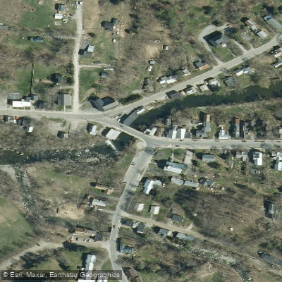
Plainfield Access
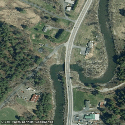
East Montpelier Access
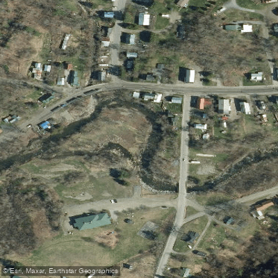
Marshfield Access
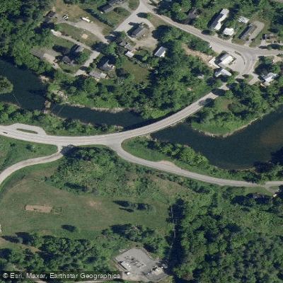
Middlesex Access
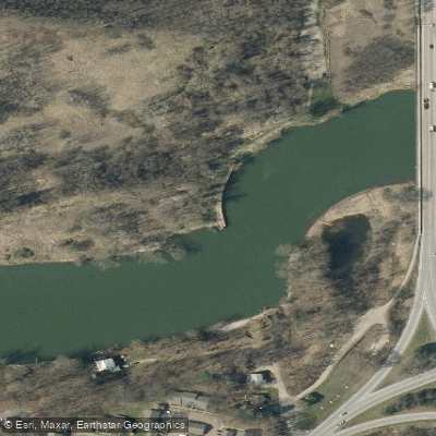
Winooski River Access
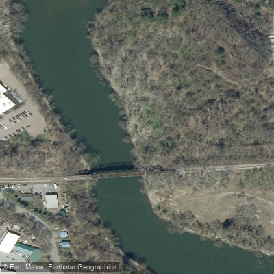
Memorial Park Access
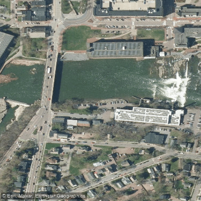
Winooski Falls Take-out
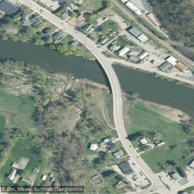
Route 2 Bridge Access
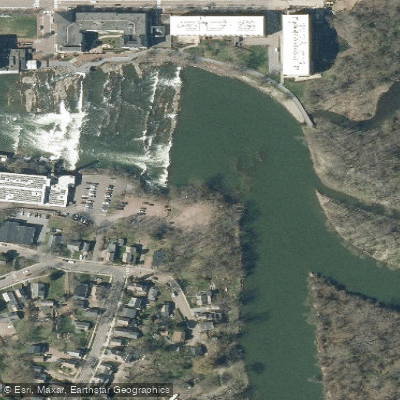
Winooski Falls Put-in
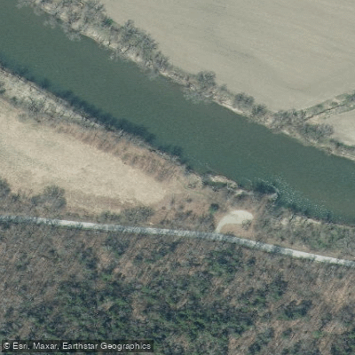
Daxbury Road Access
Paddle smarter with real-time insights
Whether you're en route and conditions shift or you're looking for the best spot based on current flows, we enable you to make informed decisions on the fly.








Find Places to Paddle

Over 400,000 Places to Paddle
Every user gets free access to launch points, boat ramps, and public property parcels.


Water and weather conditions (10 day forecast)
See the best times to paddle Winooski River and check the forecast before you go.
WINOOSKI RIVER AT MONTPELIER, VT
All Flow Stations
Paddling near Winooski River
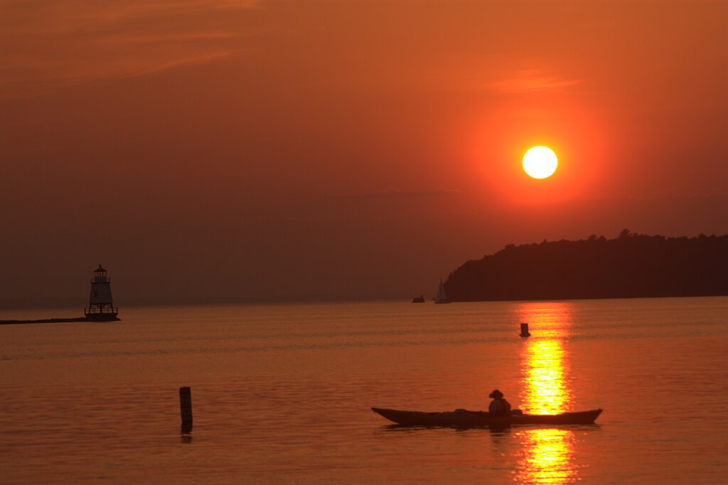
Lake Champlain
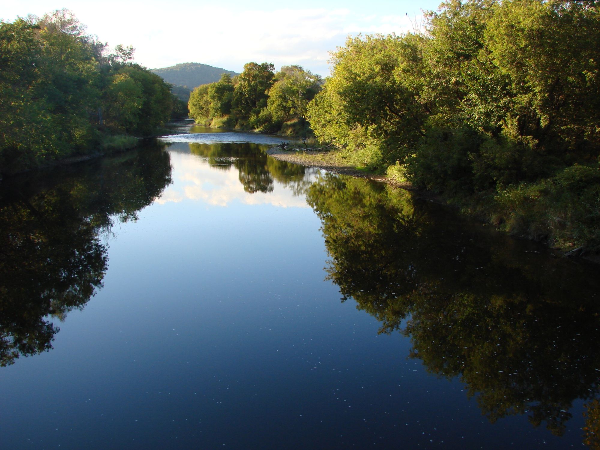
Lamoille River
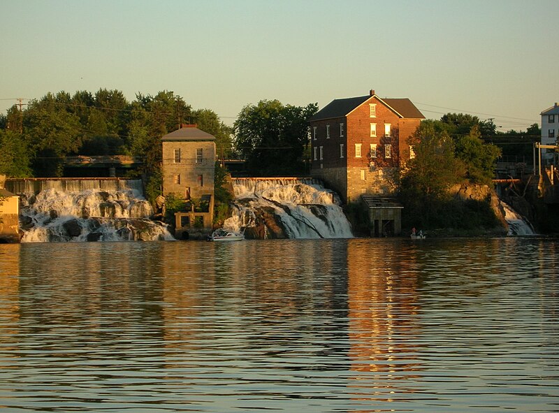
Otter Creek
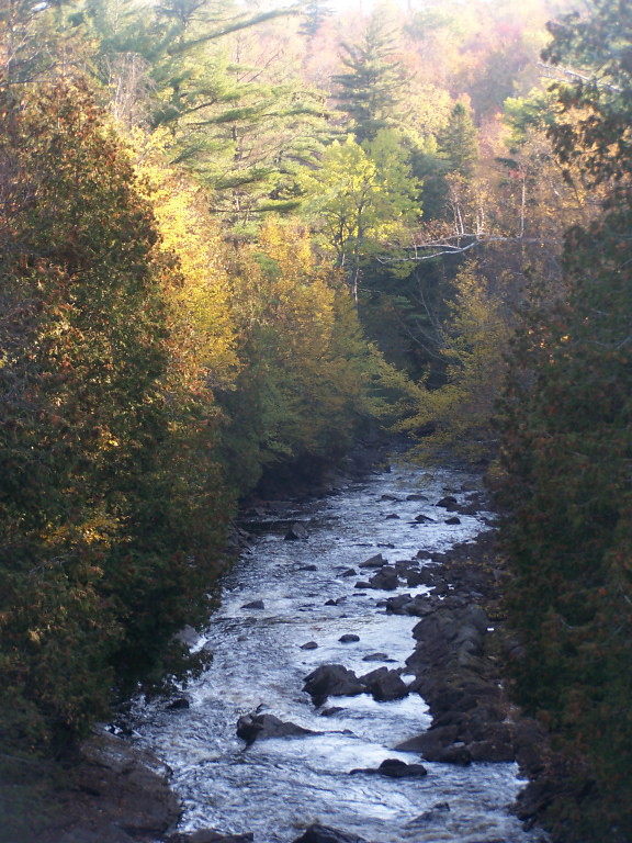
Saranac River
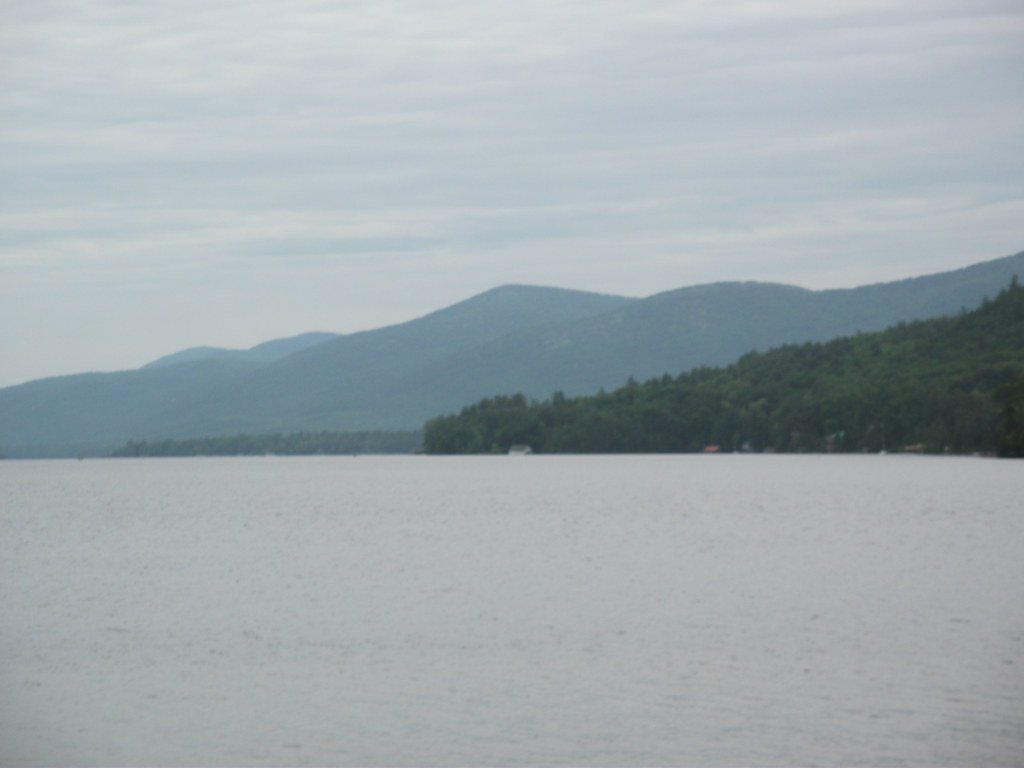
Lake George
New Haven River
Schroon River

Hudson River
La Chute
Explore Vermont waters
Top paddling waters
Popular Cities
Loading popular cities...
Explore near Winooski River
Access points
Nearby waters
More in Vermont

Smarter Paddling Starts in the App.
Paddleways gives you everything you need to plan smarter, paddle better, and own every trip from first launch to takeout.