Curated by PaddleWays
RouteClass III–V
- Distance
- 9 mi
- Paddle time
- ~2.5 hrs
- Best for
- Kayak, raft
- Put-in → take-out
- Route 28N → Hudson River
Many Class IV and V rapids below Lester Dam
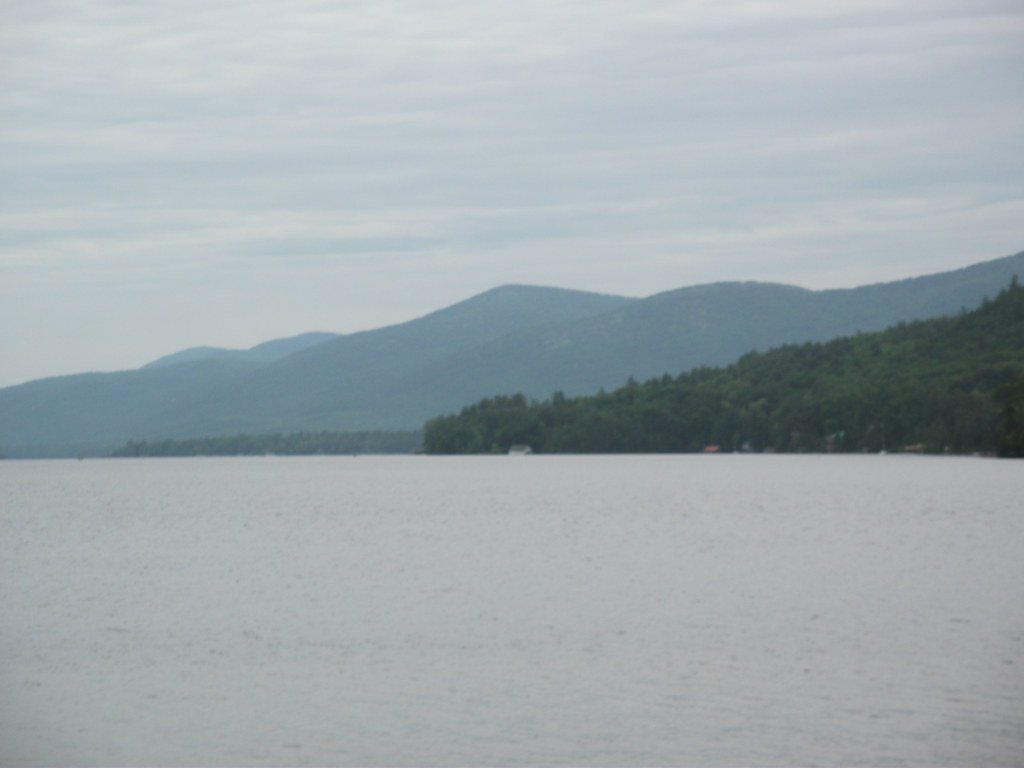
The Boreas River flows through the heart of the Adirondack Mountains in New York, originating in wetlands north of Boreas Ponds and traveling approximately 15 miles before joining the Hudson River near the hamlet of North River. This tributary system encompasses a remarkable range of paddling experiences, from the serene 320-acre Boreas Ponds complex with its jaw-dropping High Peaks vistas to some of the most technical and challenging whitewater in the Adirondacks.
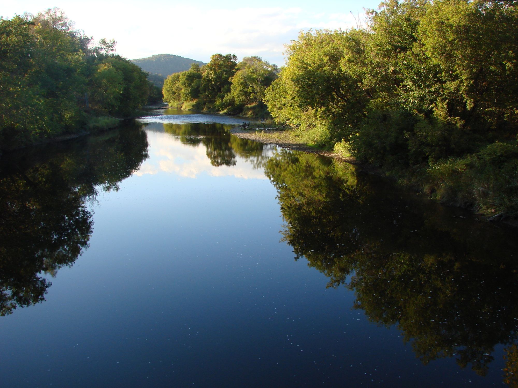
The river's character transforms dramatically along its course. The upper reaches include Boreas Ponds and LaBier Flow, both offering exceptional flatwater paddling with panoramic mountain views. These waters sit at high elevation, nestled between the Boreas Mountain Range to the east and the North River Mountain Range to the west, with commanding views of Mount Marcy, Haystack, Allen, Skylight, and other prominent peaks to the north. The ponds are now completely surrounded by Forest Preserve, making them one of the largest such bodies of water in the Adirondack Park.
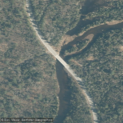
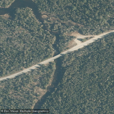
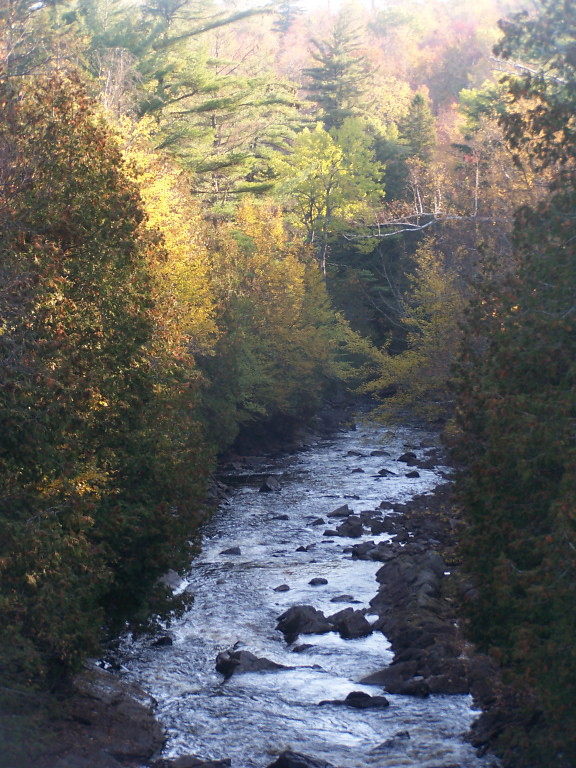
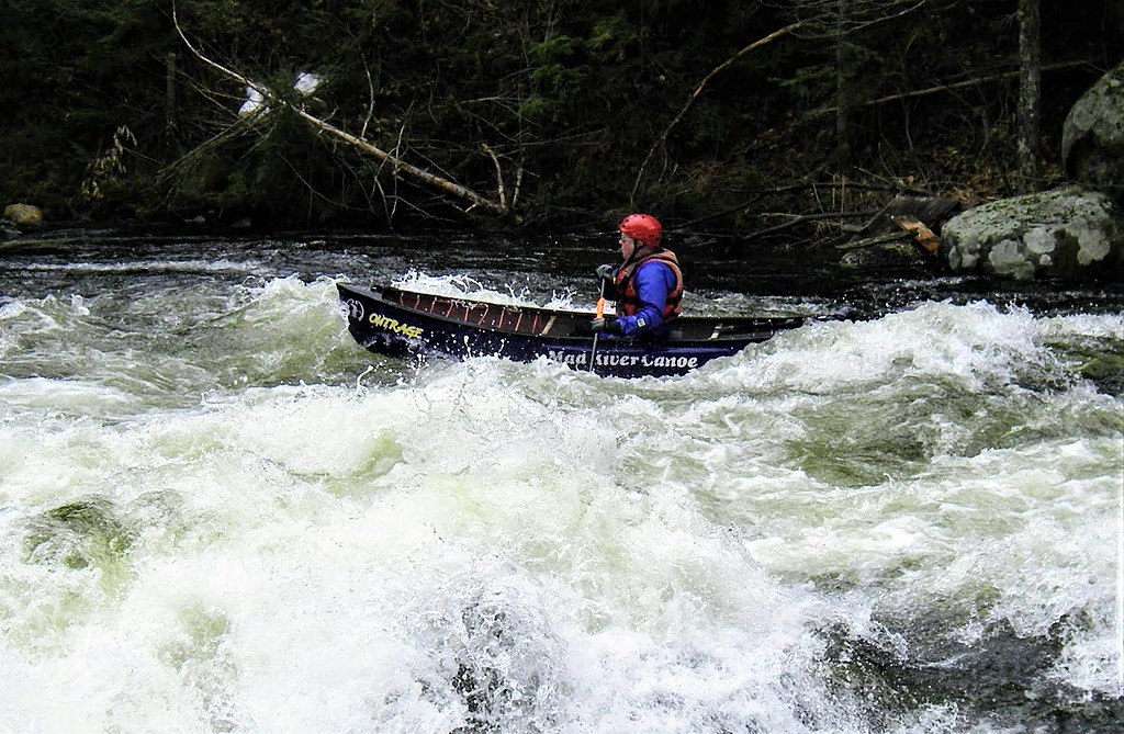
Below the Boreas Ponds dam, the river flows through Lester Flow, a tranquil section extending from Cheney Pond to the ruins of Lester Dam. This flatwater stretch offers a stark contrast to what lies downstream. Below Lester Dam, the Boreas transforms into a whitewater paddler's challenge, with difficulty ratings ranging from Class II to Class V depending on water levels and specific subsections. The lower sections from Route 28N to the Hudson River confluence are notoriously difficult to catch at runnable levels but deliver intense, technical whitewater through wilderness terrain far from any road.
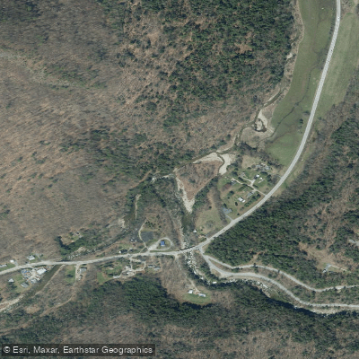
Access to the Boreas system centers around several key points: Blue Ridge Road provides access to the upper river and Boreas Ponds tract via Gulf Brook Road (located approximately 16.5 miles east of Newcomb and 7 miles west of Exit 29 on I-87), while Route 28N offers put-ins and take-outs for the middle and lower whitewater sections near Minerva. The Cheney Pond trailhead provides another entry point for the Lester Flow area.
The river's waters support cold-water fisheries including brook trout, brown trout, and in some sections, smallmouth bass. The surrounding forests feature mature northern hardwoods, and the area maintains its wild character with limited development. Historical remnants include the Lester Dam ruins and evidence of past logging operations, including an old settlement at Boreas River that once had its own post office, hotel, and sawmill.
Spring runoff provides the most reliable water levels for whitewater sections, though the lower Boreas remains highly water-dependent. Flatwater sections remain accessible throughout the paddling season. All motorized access is prohibited on Boreas Ponds and LaBier Flow, and live bait is not permitted in these waters.
Curated routes
Hand-picked by the PaddleWays team, with put-ins, take-outs, paddle times and the hazards along the way.
RouteClass III–V
RouteClass II–V
Hazards
No paddler has reported a hazard here yet, so these are the dams, falls and big rapids on our map. Hazards change with flows and storms, so check them before you launch.
From the community
Nobody has shared a trip on Boreas River yet. Paddle it, then tell the next paddler how it went.
See exactly where the public can get on and off the river. Launch points and boat ramps are paired with PaddleWays' public land data so you know where you can legally land.
Public shoreline
100%of the river's shoreline is public
Flows, weather and a route-by-route verdict, so you know which stretch of the Boreas River is worth paddling today.
Live flows, marked hazards and fresh trip reports from paddlers who were just on the water, all in one place.





Every user gets free access to launch points, boat ramps, and public property parcels.


Loading popular cities...
PaddleWays gives you everything you need to plan smarter, paddle better, and own every trip from first launch to takeout.