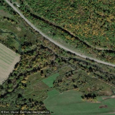
Curated by PaddleWays
RouteClass I–III
- Distance
- 6.1 mi
- Paddle time
- ~1.5 hrs
- Best for
- Intermediate paddlers
- Put-in → take-out
- Catatonk Creek Access → Owego Creek Access
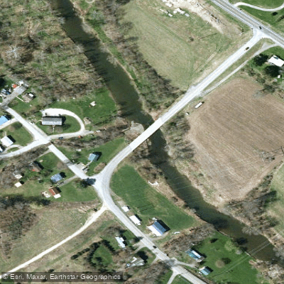
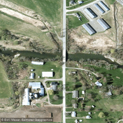
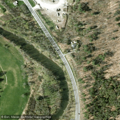
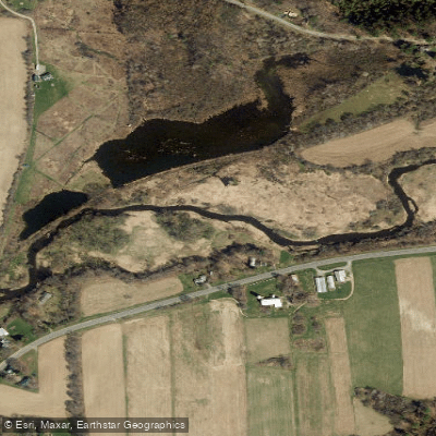
Catatonk Creek is a scenic waterway located in Tioga County, New York. This tributary of Owego Creek originates near Spencer, NY, and flows eastward before turning south near Candor. The creek continues its journey southward, eventually joining Owego Creek north of the town of Owego, which then empties into the Susquehanna River. The most popular paddling section of Catatonk Creek runs from Candor to Owego, covering approximately 11.7 miles. This stretch offers a moderately challenging experience, with difficulty ratings ranging from Class I to II, and occasional Class III features during high water conditions. The creek is characterized by its narrow channel and areas of quick-moving water, requiring some maneuvering skills from paddlers.
Paddlers can expect a mix of gentle flows and small rapids, with the difficulty increasing slightly as you progress downstream. The best times for paddling are typically spring and early summer when water levels are optimal, though it's advisable to check the Owego Creek gauge near Owego for current conditions. The creek winds through a varied landscape of rural farmland, wooded areas, and small communities, providing excellent opportunities for wildlife viewing, particularly birds. Paddlers may spot various waterfowl, herons, and even bald eagles along the route.
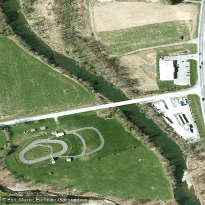
Access points for this popular section include put-ins near Candor, with a common starting point near the Candor Golf Course. Take-out options include Route 17C for a shorter trip or continuing to Owego for the full run. The town of Owego, situated at the confluence of Catatonk Creek and Owego Creek, serves as a convenient endpoint for many paddlers.
While not as renowned as some of the larger rivers in the Finger Lakes region, Catatonk Creek holds significance for local paddling enthusiasts and plays a vital role in the area's watershed. The creek and its surroundings have been used for recreational activities like canoeing, kayaking, and fishing for generations.
Safety considerations include being prepared for variable water conditions, especially after heavy rains when the creek can become swifter. Paddlers should be comfortable with basic river reading skills and self-rescue techniques. As with all waterways in New York, life jackets are required by law. For those looking to extend their adventure, it's possible to continue past the Owego confluence and paddle the Susquehanna River, though this would require additional planning and logistics.
Catatonk Creek offers a delightful paddling experience for those seeking a less-crowded alternative to more popular waterways in the region, providing a perfect blend of scenic beauty and moderate whitewater challenges.
Curated routes
Hand-picked by the PaddleWays team, with put-ins, take-outs, paddle times and the hazards along the way.
RouteClass I–III
Hazards
No paddler has reported a hazard here yet, so these are the dams, falls and big rapids on our map. Hazards change with flows and storms, so check them before you launch.
From the community
Nobody has shared a trip on Catatonk Creek yet. Paddle it, then tell the next paddler how it went.
See exactly where the public can get on and off the river. Launch points and boat ramps are paired with PaddleWays' public land data so you know where you can legally land.
Public shoreline
0%of the river's shoreline is public
Most of the riverbank is private. Launch, land and camp only at public access points.
Flows, weather and a route-by-route verdict, so you know which stretch of the Catatonk Creek is worth paddling today.
No forecast data available.
Live flows, marked hazards and fresh trip reports from paddlers who were just on the water, all in one place.





Every user gets free access to launch points, boat ramps, and public property parcels.

Loading popular cities...
PaddleWays gives you everything you need to plan smarter, paddle better, and own every trip from first launch to takeout.