Curated by PaddleWays
RouteClass II–III
- Distance
- 1.2 mi
- Paddle time
- ~0.5 hrs
- Best for
- Intermediate paddlers
- Put-in → take-out
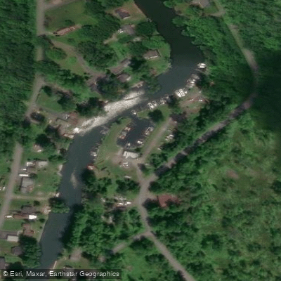
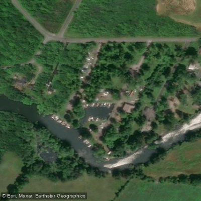
- Chittenango Creek Access → Chittenango Falls State Park
Small chute down a broken dam
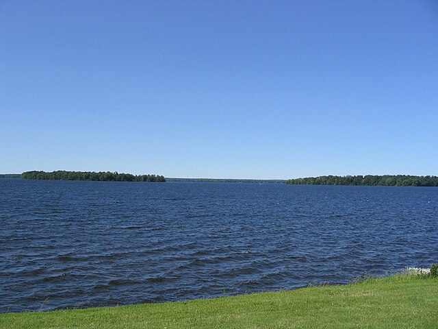
Chittenango Creek is a scenic waterway in central New York that flows northward from its origin near Nelson Swamp, just north of Cazenovia, to its mouth at Oneida Lake. This approximately 30-mile long creek is a major tributary of Oneida Lake and part of the larger Oswego River watershed. The creek offers diverse paddling opportunities for various skill levels.
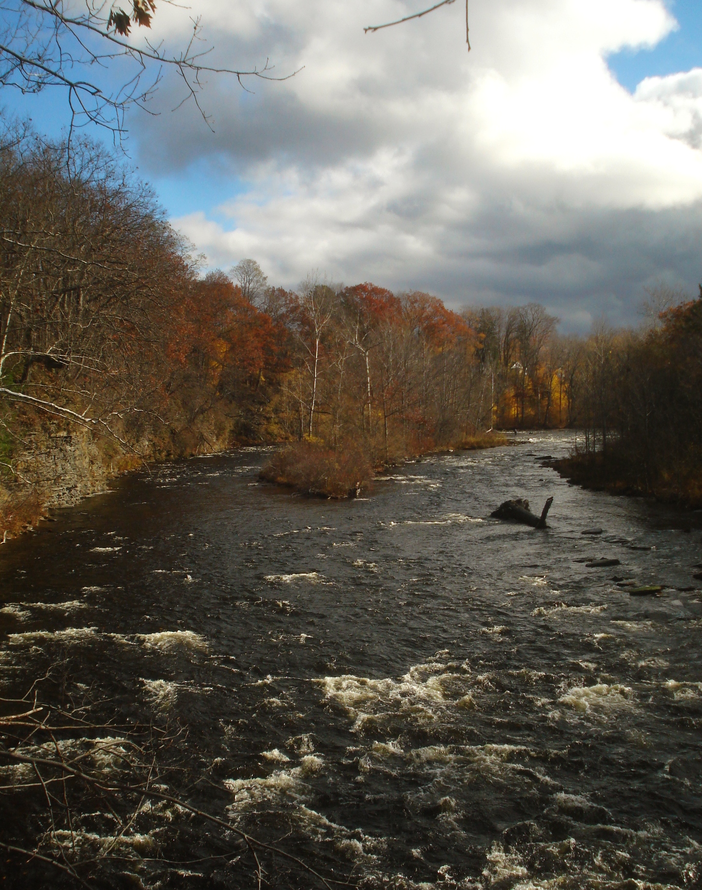
The upper section from Cazenovia to Chittenango Falls features Class II-III whitewater over 3.7 miles, suitable for intermediate paddlers. Below Chittenango Falls, a 5.3-mile stretch to the town of Chittenango provides Class II rapids with some Class III features. As the creek approaches Oneida Lake, it transitions to flatwater paddling, ideal for beginners and nature enthusiasts. Paddling difficulty ranges from challenging whitewater in the upper sections to easy flatwater near Oneida Lake.
The best paddling times are typically spring through fall, with higher water levels in spring offering the most exciting whitewater runs. The creek's ecosystem supports a variety of wildlife, including frogs, turtles, ducks, geese, and cranes. It's also a popular trout fishing stream, with sections managed for catch-and-release fishing.
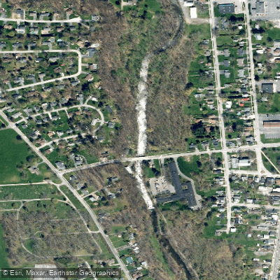
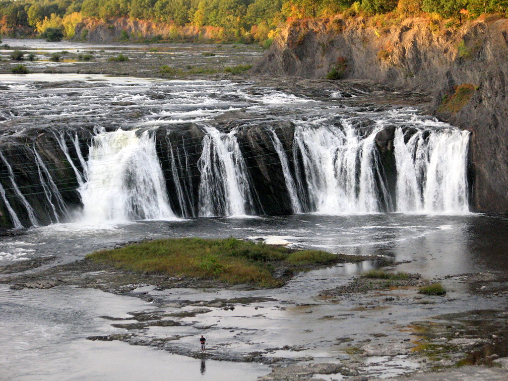
Key landmarks include Chittenango Falls State Park, featuring a stunning 167-foot waterfall, and the Old Erie Canal State Historic Park, where the creek intersects with the historic canal. The Chittenango Landing Canal Boat Museum offers a glimpse into the area's canal heritage.
Major access points include Cazenovia (upper section), Chittenango Falls State Park, the town of Chittenango, and Bridgeport near Oneida Lake. Each of these locations provides convenient put-in and take-out spots for paddlers.
Historically, Chittenango Creek played a role in powering mills and later in supplying water to the Erie Canal. Today, it serves as an important recreational resource and supports local ecosystems.
Safety considerations include being prepared for sudden water level changes, especially in the whitewater sections. Paddlers should be aware of potential strainers and check water levels before embarking. Some sections have special fishing regulations, and swimming is prohibited in certain areas due to endangered species conservation efforts. While primarily suited for day trips, the creek's connection to the Old Erie Canal and Oneida Lake offers possibilities for multi-day adventures for those interested in exploring the broader waterway system of central New York.
Curated routes
Hand-picked by the PaddleWays team, with put-ins, take-outs, paddle times and the hazards along the way.
RouteClass II–III
RouteFlatwater
Hazards
No paddler has reported a hazard here yet, so these are the dams, falls and big rapids on our map. Hazards change with flows and storms, so check them before you launch.
From the community
Nobody has shared a trip on Chittenango Creek yet. Paddle it, then tell the next paddler how it went.
See exactly where the public can get on and off the river. Launch points and boat ramps are paired with PaddleWays' public land data so you know where you can legally land.
Public shoreline
14%of the river's shoreline is public
Most of the riverbank is private. Launch, land and camp only at public access points.
Flows, weather and a route-by-route verdict, so you know which stretch of the Chittenango Creek is worth paddling today.
Live flows, marked hazards and fresh trip reports from paddlers who were just on the water, all in one place.





Every user gets free access to launch points, boat ramps, and public property parcels.
Loading popular cities...
PaddleWays gives you everything you need to plan smarter, paddle better, and own every trip from first launch to takeout.