Conesus Lake
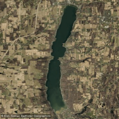
Conesus Lake
- Boat Ramps
- 2
- Access Points
- 5
- Campsites
- 0
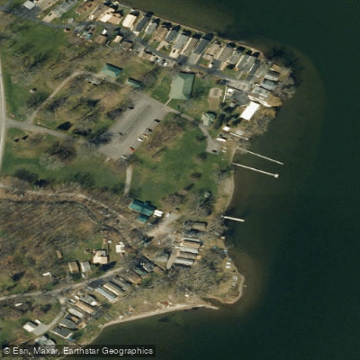
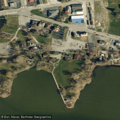
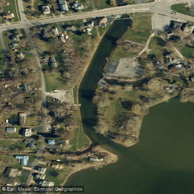
Conesus Lake, the westernmost of New York's Finger Lakes, offers paddlers a scenic 8-mile long, 1-mile wide waterway with a maximum depth of 66 feet. The lake features several access points for kayaks and canoes, including the Conesus Lake Public Boat Launch on East Lake Road, Conesus Inlet Wildlife Management Area at the south end, Pebble Beach on the northwest corner, and Sand Point at the north end. These last three locations are designated for car-top launches only.
Paddlers should be aware of abundant aquatic vegetation, especially in shallows and areas up to 15 feet deep. Dense stands of invasive Eurasian milfoil have displaced many native plant species. The lake experiences significant motorized boat traffic, though protected areas along the shoreline and in the inlet provide calmer waters for paddling.
Wildlife enthusiasts can explore the Conesus Lake Inlet Wildlife Management Area, a 1,120-acre wetland at the lake's southern end known for bald eagle nesting sites. This area offers a unique ecosystem viewing experience, with a 3-mile long, mile-wide swampy region ideal for observing various bird species, turtles, and fish.
Water quality in Conesus Lake has changed over time, with shifts in fish populations impacting the ecosystem. Currently, the lake supports populations of bass, northern pike, bluegills, and walleye. Paddlers should note that ice fishing shelters are prohibited by local health ordinance.
For those seeking a peaceful paddling experience, consider visiting earlier in the season to avoid weed mats and low water obstacles that can develop during hot, dry summers. The lake's thermocline is typically around 30 feet deep. Paddlers should always wear a Coast Guard-approved life vest and be prepared for changing weather conditions on this picturesque Finger Lake.
Water access, boat ramps & amenities
Learn how to get on Conesus Lake. Uncover great paddling access points, boat ramps, and all the facilities you need for an unforgettable day on the water. Some locations shown may border or include private property. Always check property boundaries and applicable regulations before visiting. PaddleWays's Public & Private Land layer can help you plan your access with confidence.
Paddle smarter with real-time insights
Whether you're en route and conditions shift or you're looking for the best spot based on current flows, we enable you to make informed decisions on the fly.








Find Places to Paddle

Over 400,000 Places to Paddle
Every user gets free access to launch points, boat ramps, and public property parcels.


Water and weather conditions (10 day forecast)
See the best times to paddle Conesus Lake and check the forecast before you go.
No forecast data available.
Paddling near Conesus Lake
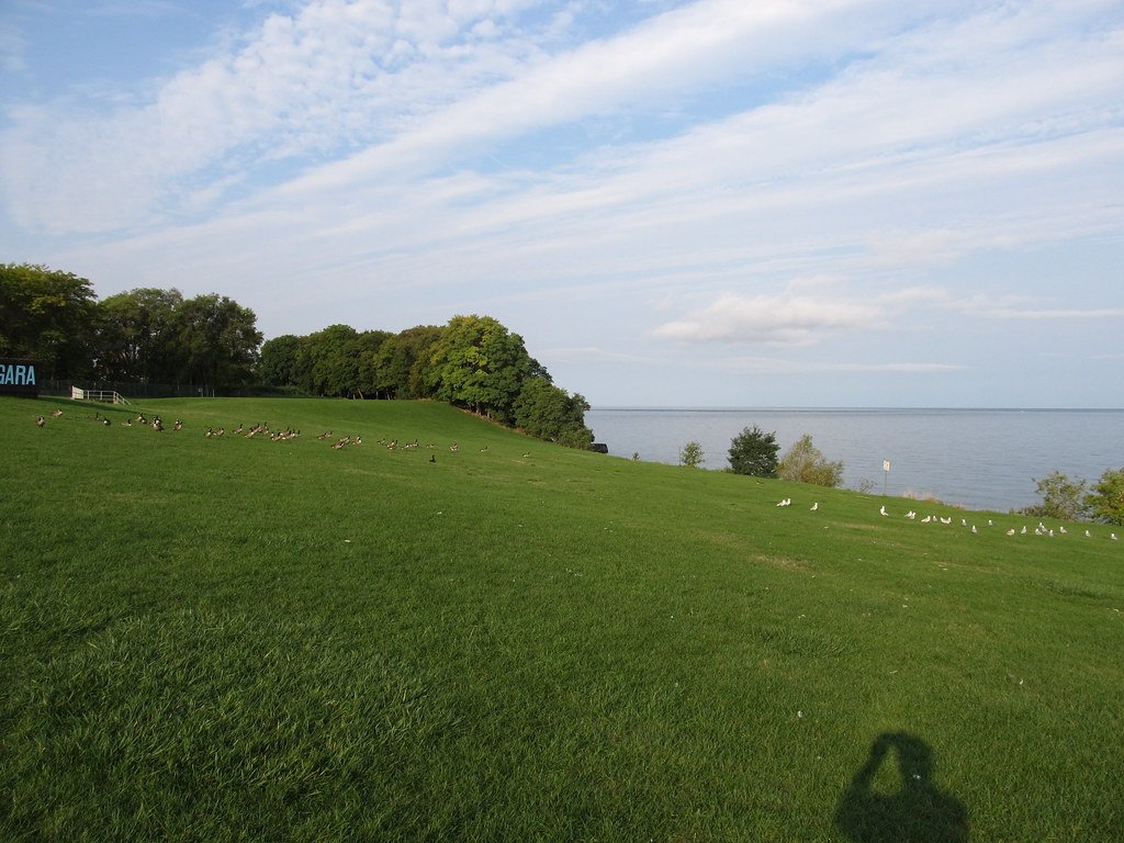
Lake Ontario
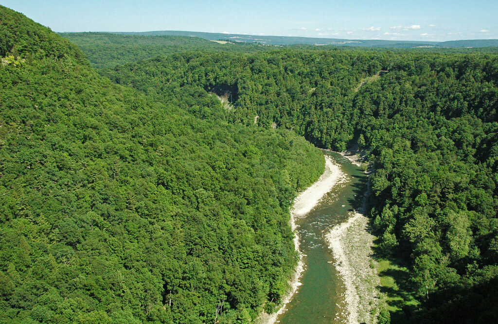
Genesee River
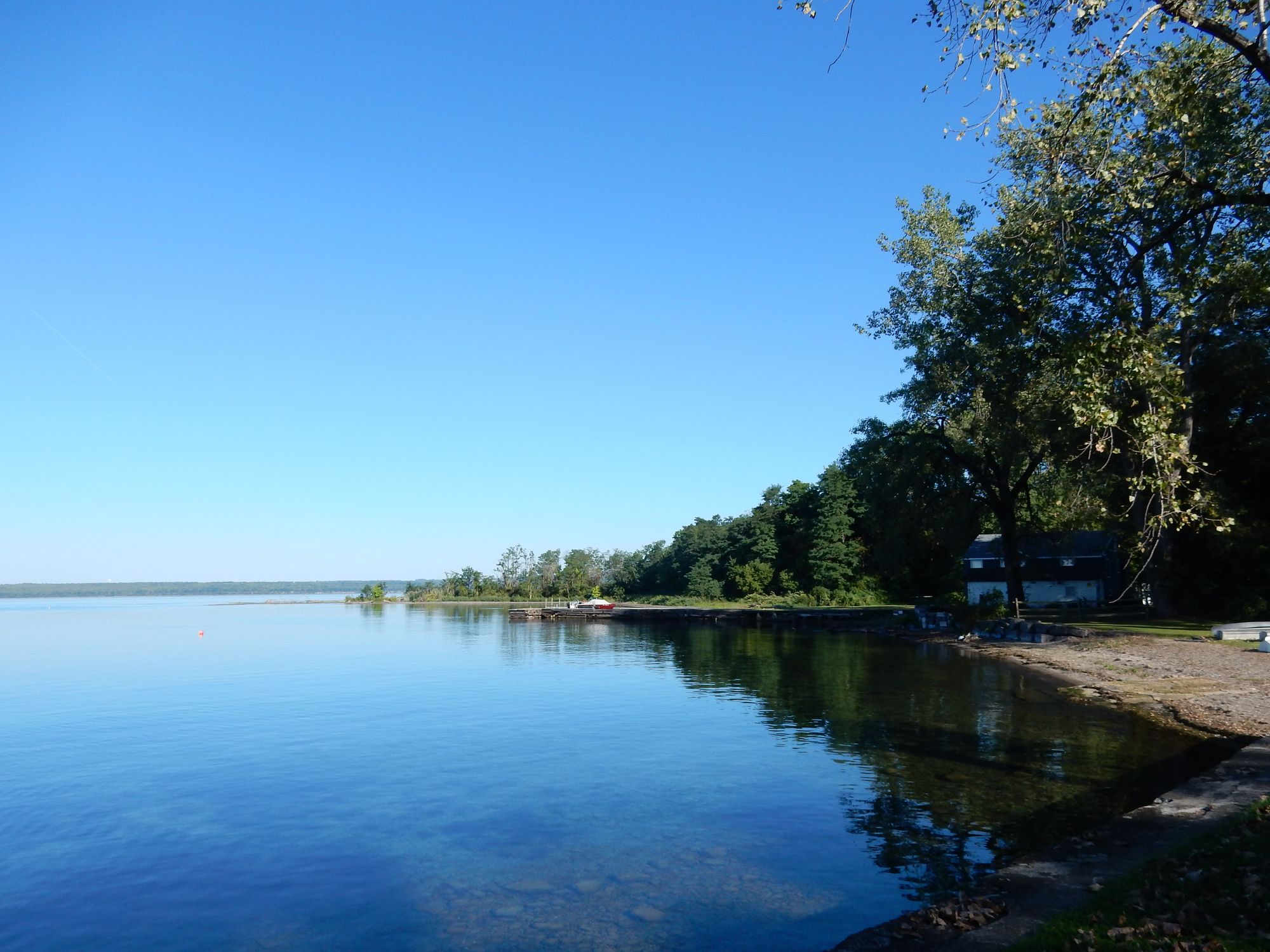
Seneca Lake
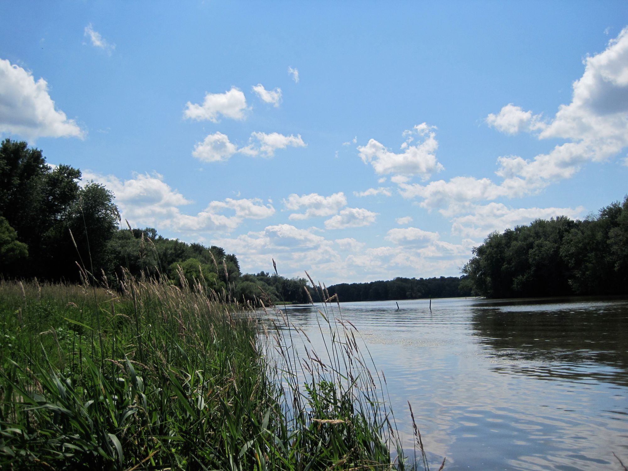
Seneca River
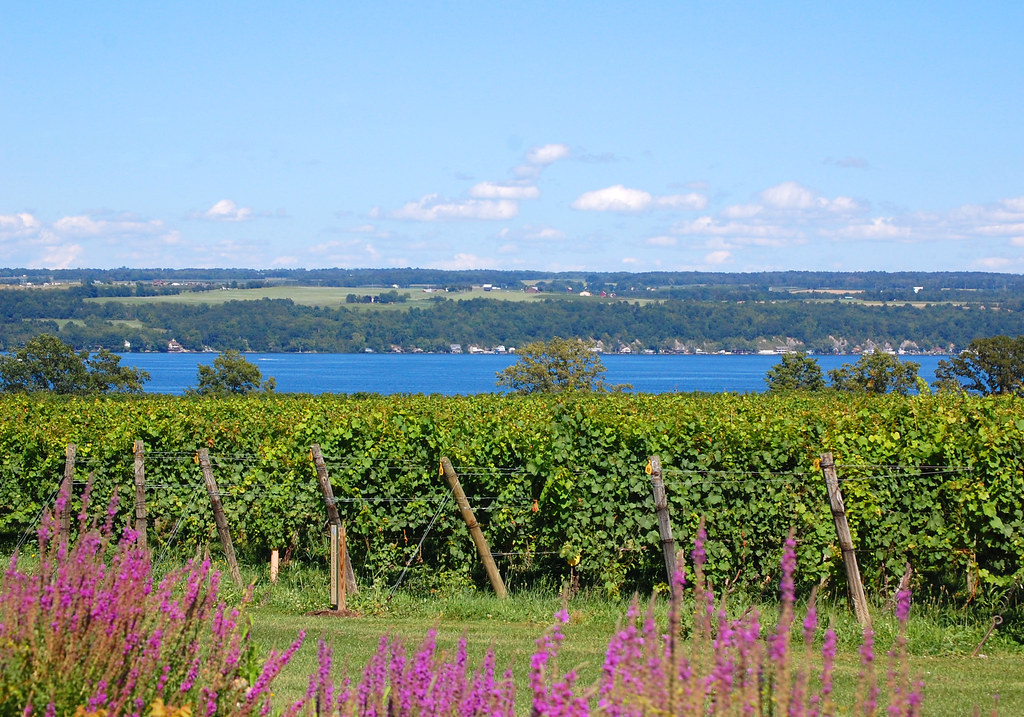
Cayuga Lake
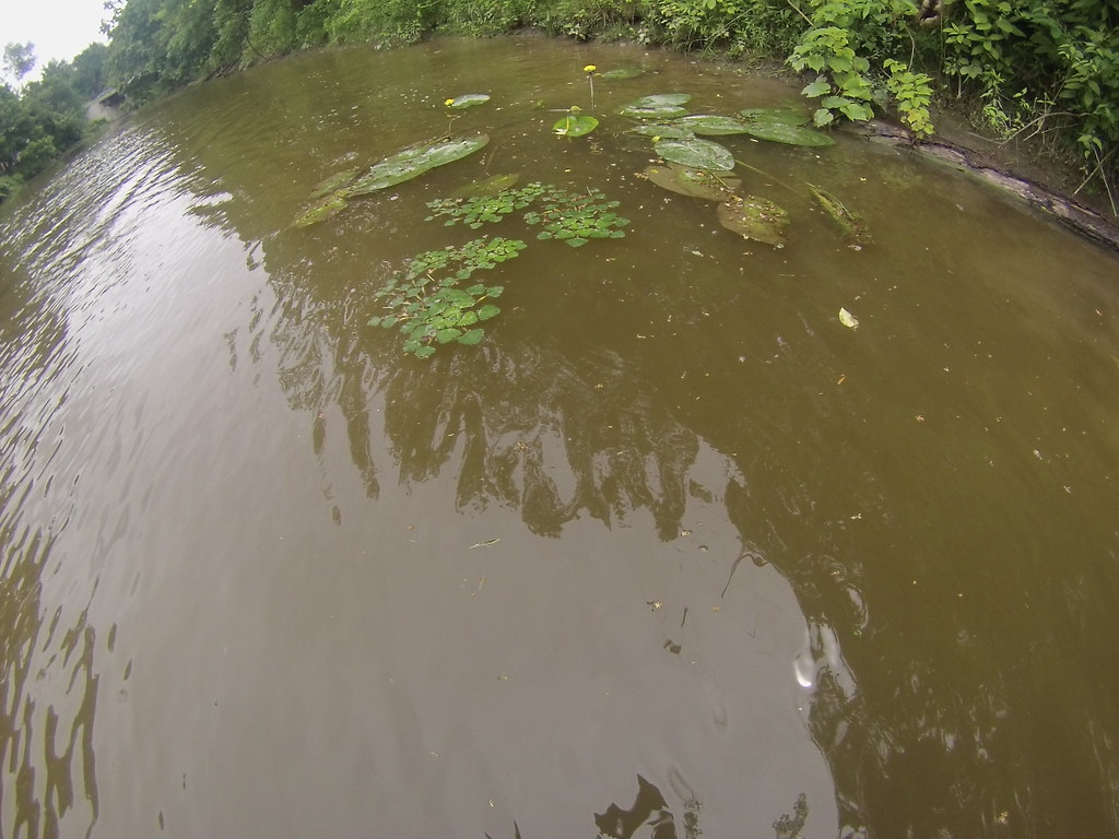
Tonawanda Creek
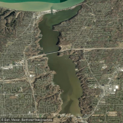
Irondequoit Bay
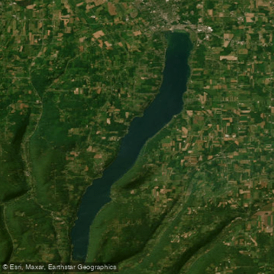
Canandaigua Lake

Saint Lawrence River
Explore New York waters
Top paddling waters
Popular Cities
Loading popular cities...
Explore near Conesus Lake
Access points
Nearby waters
More in New York

Smarter Paddling Starts in the App.
Paddleways gives you everything you need to plan smarter, paddle better, and own every trip from first launch to takeout.