Irondequoit Bay
Irondequoit Bay
- Boat Ramps
- 2
- Access Points
- 2
- Campsites
- 0
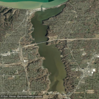
Irondequoit Bay is a 5-mile long body of water on the northeast side of Rochester, New York, offering scenic paddling opportunities. The bay connects to Lake Ontario at its northern end and Irondequoit Creek at its southern end. A 5.6-mile paddle between La Salle's Landing and Sandbar Park provides an excellent route for kayakers and canoeists.
Key access points include La Salle's Landing Park at the southern end (43.176665, -77.525730) and Sandbar Park near the northern end (43.2372754, -077.5221930). The Irondequoit Bay State Marine Park (43.234234, -77.537300) also offers a launch site for small boats.
Paddlers should be aware of heavy motorboat traffic, especially on summer weekends and holidays. A 25-mph speed limit is enforced on the bay, with a 5-mph no-wake zone within 300 feet of shorelines and structures. Wind can significantly affect conditions, potentially creating choppy waters.
The bay is home to diverse wildlife, including various water birds beyond the typical gulls and geese. Fish species include northern pike, bass, walleye, and yellow perch. The Bay Bridge, about 3.1 miles north of La Salle's Landing, offers an impressive sight for paddlers.
Autumn provides particularly scenic paddling with fall colors along the shoreline. However, the bay can be paddled from spring through fall, with weather and wind conditions being the primary considerations for trip planning.
Facilities are limited along the bay. Sandbar Park is undergoing renovations (expected completion 2023-2025) to add amenities including an official kayak launch, dock, and restrooms. Several marinas operate along the bay, though most cater to motorboats rather than paddlers.
Paddlers can extend their trip into Lake Ontario from the bay's northern end, though lake conditions should be carefully considered before venturing out. The bay's connection to both the lake and Irondequoit Creek offers varied paddling experiences within a relatively compact area.
Water access, boat ramps & amenities
Learn how to get on Irondequoit Bay. Uncover great paddling access points, boat ramps, and all the facilities you need for an unforgettable day on the water. Some locations shown may border or include private property. Always check property boundaries and applicable regulations before visiting. PaddleWays's Public & Private Land layer can help you plan your access with confidence.
Paddle smarter with real-time insights
Whether you're en route and conditions shift or you're looking for the best spot based on current flows, we enable you to make informed decisions on the fly.








Find Places to Paddle

Over 400,000 Places to Paddle
Every user gets free access to launch points, boat ramps, and public property parcels.


Water and weather conditions (10 day forecast)
See the best times to paddle Irondequoit Bay and check the forecast before you go.
IRONDEQUOIT BAY AT POINT PLEASANT NY
Paddling near Irondequoit Bay
Lake Ontario
Genesee River
Seneca Lake
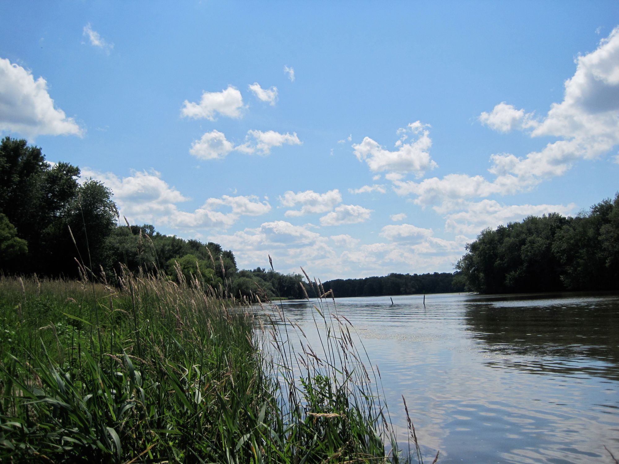
Seneca River
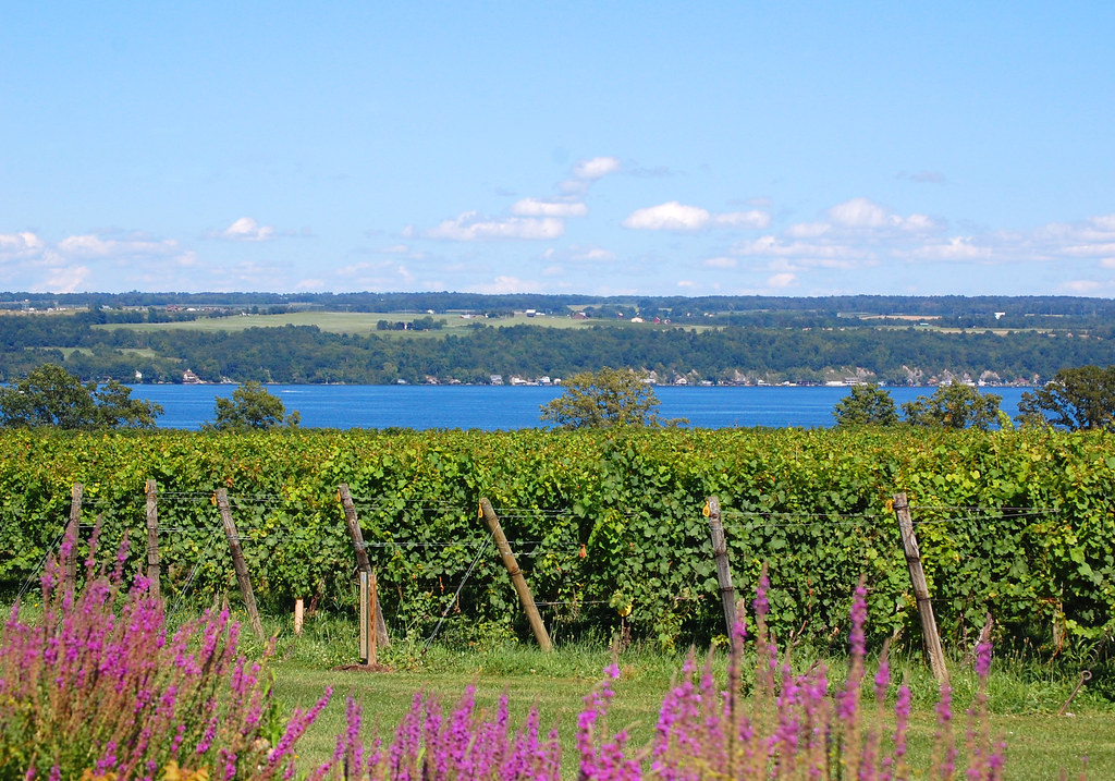
Cayuga Lake
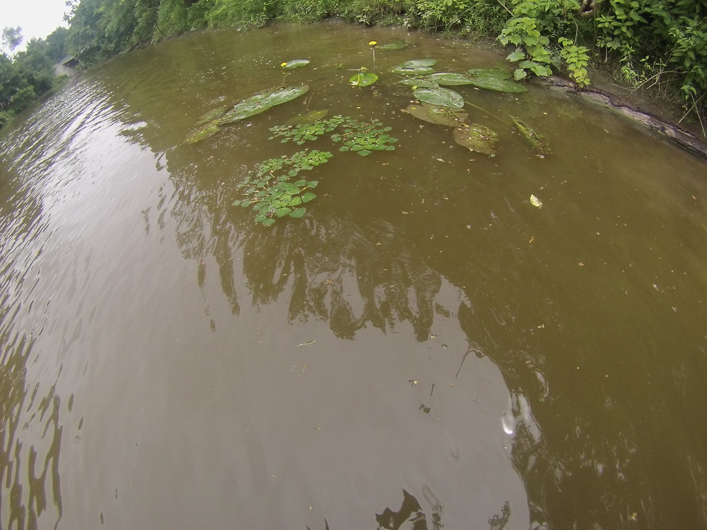
Tonawanda Creek
Canandaigua Lake
Conesus Lake

Saint Lawrence River
Explore New York waters
Top paddling waters
Popular Cities
Loading popular cities...
Explore near Irondequoit Bay
Access points
- Lake Ontario Irondequoit Bay Boat Ramp
- Lake Ontario Irondequoit Bay Boat Ramp
- Irondequoit Creek Bridge
- Densmore Creek Bridge
- Irondequoit Creek Bridge
- Culver Road Bridge
- Irondequoit Creek Bridge
- Irondequoit Creek Bridge
- Allen Creek Bridge
- Irondequoit Creek Bridge
- Mill Creek Sidewalk Bridge
- Csx Trans Genesee River Bridge
- All 31 spots
Nearby waters
More in New York

Smarter Paddling Starts in the App.
Paddleways gives you everything you need to plan smarter, paddle better, and own every trip from first launch to takeout.