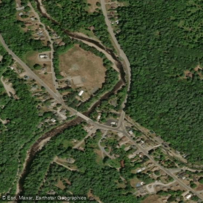
Curated by PaddleWays
RouteClass II–III
- Distance
- 6.7 mi
- Paddle time
- ~1.5 hrs
- Best for
- Kayak
- Put-in → take-out
- Keene Access → Upper Jay Access
Jay Falls, a 4-5 ledge drop
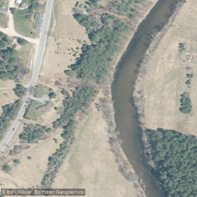
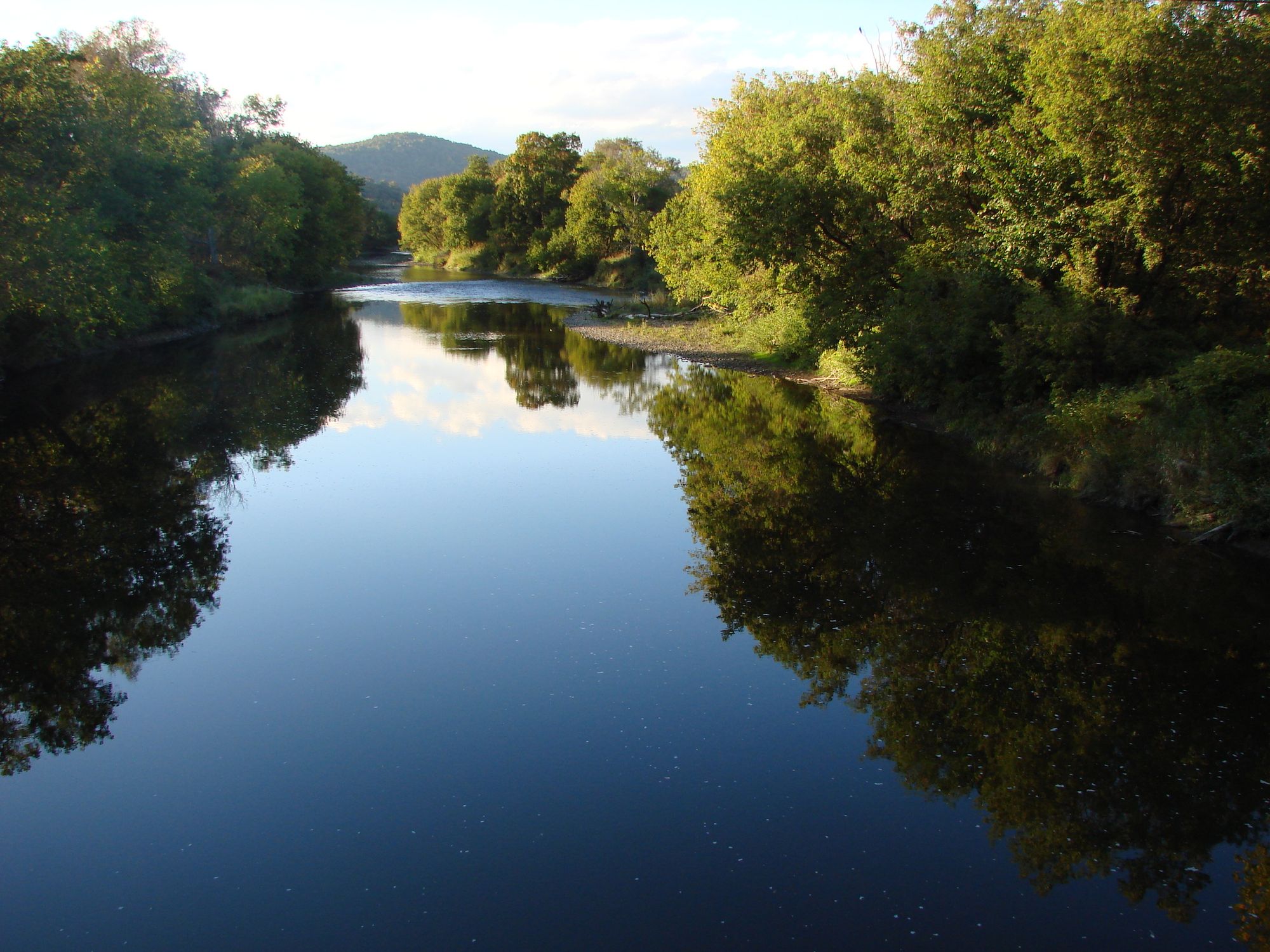
The East Branch Ausable River is a dynamic waterway flowing through the heart of New York's Adirondack Mountains. Originating in the High Peaks region near Mount Marcy, it flows northward for approximately 35 miles before joining the West Branch to form the main stem of the Ausable River. The East Branch drains a significant portion of the eastern Adirondacks, including runoff from popular hiking destinations like Giant Mountain and the Great Range.
Paddlers will find a variety of experiences along the East Branch, from placid flatwater to challenging whitewater. The upper reaches offer technical creek boating for experts, while the middle sections provide classic Adirondack scenery and moderate rapids. A notable flatwater section is found at Lake Everest near Wilmington, where a 2.4-mile paddling nature trail allows novices to explore river ecosystems.
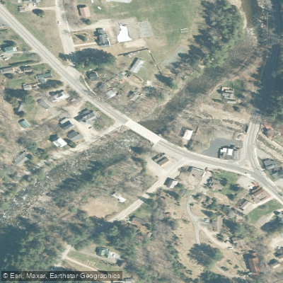
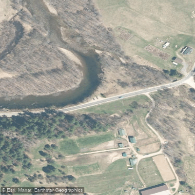
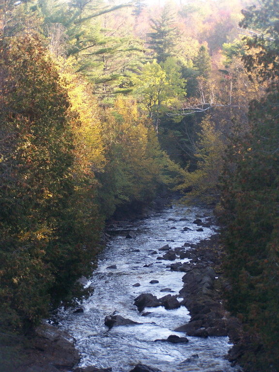
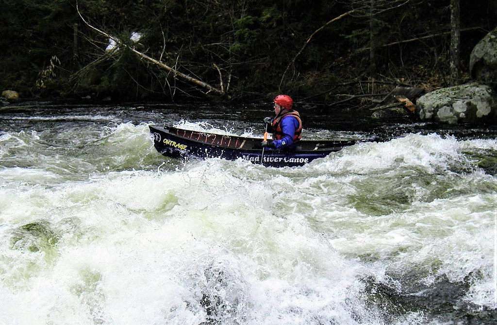
The most popular whitewater run extends 6.3 miles from Keene to Upper Jay, featuring Class II-III rapids that parallel Route 9N. This section includes Jay Falls, a series of ledge drops that can be run even in low summer flows. Below Everton Falls, a more challenging 3-mile stretch offers Class III-IV whitewater with potential portages around larger drops.
Spring snowmelt provides the most reliable flows for whitewater enthusiasts, typically from late April through early June. Summer paddling is possible but often limited to easier sections.
The river valley supports a rich ecosystem of hardwood forests, with opportunities to spot wildlife like beavers, otters, and bald eagles.
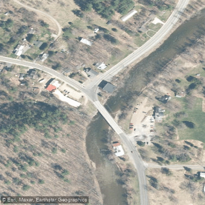
Key landmarks include the historic Jay Covered Bridge, one of only two remaining in the Adirondack Park. This picturesque structure, now open only to pedestrians and cyclists, spans the river near the town of Jay and serves as a focal point for swimming and paddling activities.
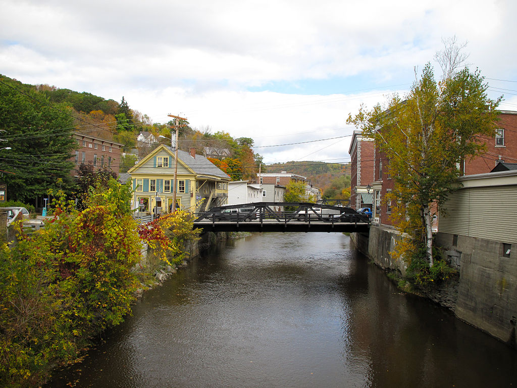
Primary access points are found in the towns of Keene, Jay, Upper Jay, and Wilmington. These small Adirondack communities offer services for paddlers and serve as gateways to the surrounding wilderness areas.
The East Branch played a crucial role in the region's logging and mining history, powering mills and transporting timber in the 19th century. Today, it's an integral part of the Adirondack Park's recreational offerings, supporting a thriving fly fishing industry and attracting paddlers from across the Northeast.
Paddlers should be aware of fluctuating water levels, especially during spring runoff or after heavy rains. All users should practice Leave No Trace principles and be prepared for remote conditions in some sections. While primarily a day-trip destination, multi-day adventures are possible by combining paddling with hiking or camping in the adjacent wilderness areas.
Curated routes
Hand-picked by the PaddleWays team, with put-ins, take-outs, paddle times and the hazards along the way.
RouteClass II–III
Hazards
No paddler has reported a hazard here yet, so these are the dams, falls and big rapids on our map. Hazards change with flows and storms, so check them before you launch.
From the community
Nobody has shared a trip on East Branch Ausable River yet. Paddle it, then tell the next paddler how it went.
See exactly where the public can get on and off the river. Launch points and boat ramps are paired with PaddleWays' public land data so you know where you can legally land.
Public shoreline
15%of the river's shoreline is public
Most of the riverbank is private. Launch, land and camp only at public access points.
Flows, weather and a route-by-route verdict, so you know which stretch of the East Branch Ausable River is worth paddling today.
Live flows, marked hazards and fresh trip reports from paddlers who were just on the water, all in one place.





Every user gets free access to launch points, boat ramps, and public property parcels.


Loading popular cities...
PaddleWays gives you everything you need to plan smarter, paddle better, and own every trip from first launch to takeout.