Curated by PaddleWays
RouteClass II–IV
- Distance
- 9 mi
- Paddle time
- Multi-day
- Best for
- Intermediate paddlers, experienced paddlers
- Put-in → take-out
- Point Rock Access → Taberg Access
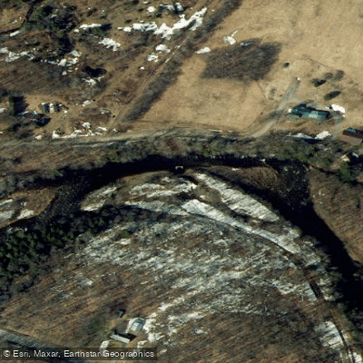
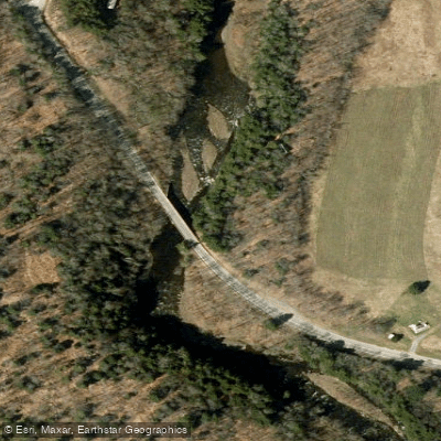
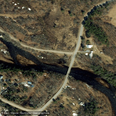
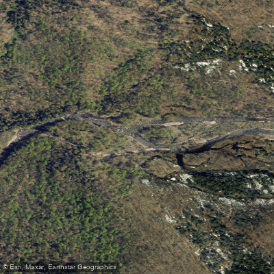
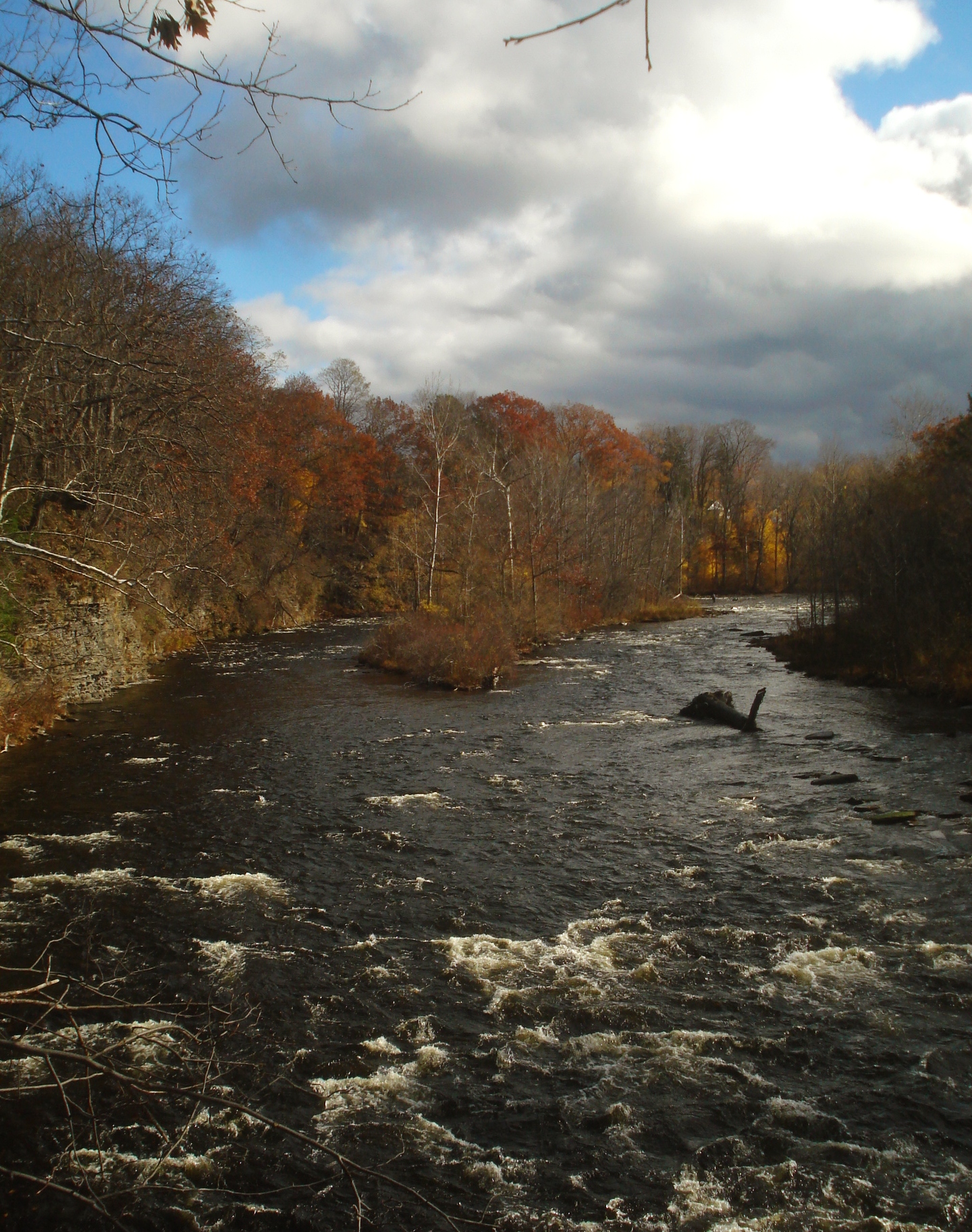
The East Branch Fish Creek is a dynamic waterway nestled in the heart of Lewis County, New York. Originating in the forested highlands of the Tug Hill region, this river flows generally northward, carving its way through a rugged landscape before joining the main stem of Fish Creek, which eventually empties into Oneida Lake. The river's most notable paddling section runs from Point Rock to Taberg, a challenging 9.4-mile stretch that offers a thrilling mix of Class II to IV rapids. This section is renowned among Northeast paddlers for its big, fast waves and holes that range from mild to formidable. The creek's character changes with water levels, providing a variety of experiences from technical low-water runs to pushy high-water adventures.
Skilled whitewater enthusiasts will find the East Branch Fish Creek most appealing, as it requires solid boat control and the ability to read complex water. The river is best run in spring during snowmelt or after substantial rainfall, typically from late March through early May. However, paddlers should always check current flow conditions, as the creek can become dangerously high during peak runoff.
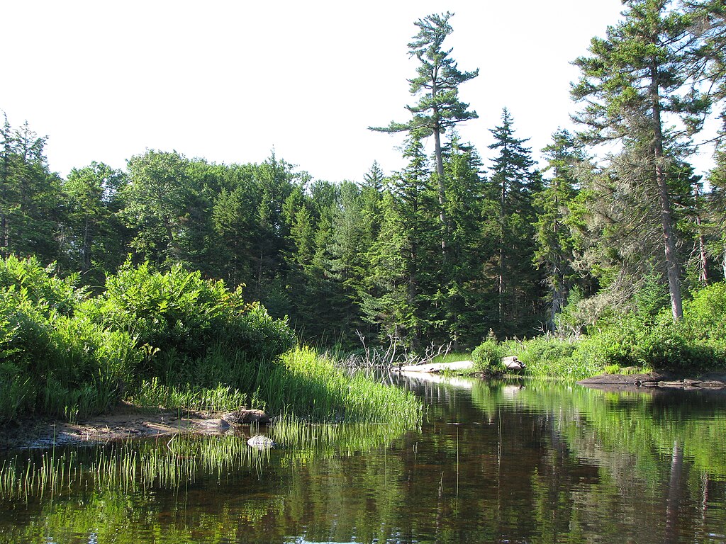
The surrounding watershed is rich in biodiversity, with hemlock and northern hardwood forests lining the banks. Wildlife sightings may include white-tailed deer, black bears, and various bird species native to the Adirondack foothills.
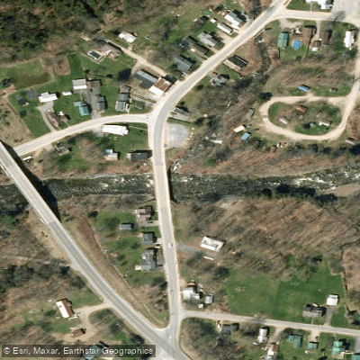
Key landmarks include the put-in at Point Rock, a small hamlet that serves as the gateway to this whitewater journey. The take-out at Taberg offers a convenient endpoint near civilization. Between these points, paddlers will encounter a series of unnamed but memorable rapids that demand respect and skill.
Access to the river is primarily through conservation easement lands, which also provide opportunities for hiking, mountain biking, and horseback riding on designated trails. The nearby East Branch Fish Creek State Forest offers additional recreational possibilities for those planning extended stays in the area.
Safety is paramount on the East Branch Fish Creek. Paddlers should be prepared with proper equipment, including helmets and personal flotation devices. Group travel is strongly recommended due to the river's remote nature and challenging rapids.
For those seeking a multi-day adventure, primitive camping options exist near the put-in and take-out areas, allowing paddlers to immerse themselves in the wild character of this Tug Hill gem. The East Branch Fish Creek stands as a testament to New York's rich paddling heritage, offering a pristine and exhilarating experience for those willing to take on its spirited waters.
Curated routes
Hand-picked by the PaddleWays team, with put-ins, take-outs, paddle times and the hazards along the way.
RouteClass II–IV
Hazards
No paddler has reported a hazard here yet, so these are the dams, falls and big rapids on our map. Hazards change with flows and storms, so check them before you launch.
From the community
Nobody has shared a trip on East Branch Fish Creek yet. Paddle it, then tell the next paddler how it went.
See exactly where the public can get on and off the river. Launch points and boat ramps are paired with PaddleWays' public land data so you know where you can legally land.
Public shoreline
35%of the river's shoreline is public
Most of the riverbank is private. Launch, land and camp only at public access points.
Flows, weather and a route-by-route verdict, so you know which stretch of the East Branch Fish Creek is worth paddling today.
Live flows, marked hazards and fresh trip reports from paddlers who were just on the water, all in one place.





Every user gets free access to launch points, boat ramps, and public property parcels.


Loading popular cities...
PaddleWays gives you everything you need to plan smarter, paddle better, and own every trip from first launch to takeout.