Curated by PaddleWays
RouteClass I–III
- Distance
- 7.7 mi
- Paddle time
- ~2 hrs
- Put-in → take-out
- Dolgeville Access → Route 5 Access
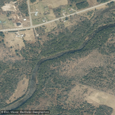
East Canada Creek is a scenic waterway in eastern New York state, originating in the southern Adirondack Mountains and flowing generally southward to join the Mohawk River. This tributary of the Mohawk spans approximately 30 miles through Hamilton, Herkimer, Fulton, and Montgomery counties, forming part of the larger Hudson River watershed.
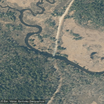
The creek offers several notable paddling opportunities, with two primary sections popular among whitewater enthusiasts. The upper section, from Powley Place to Stratford, is a challenging 12.6-mile run featuring Class II to IV rapids. This stretch begins at Powley Place bridge, accessible via Powley-Piseco Road about 11 miles north of Stratford. The lower section, from Dolgeville to Route 5, provides a milder 8-mile run with Class I to III rapids, suitable for intermediate paddlers.
East Canada Creek's difficulty ranges from beginner-friendly Class I waters to expert-level Class IV rapids, requiring varying degrees of skill and experience. Paddlers should be prepared for technical maneuvering, particularly in the upper section. The creek typically offers the best paddling conditions during spring runoff and after heavy rains. Late spring to early summer often provides optimal water levels, though paddlers should always check current conditions before embarking.
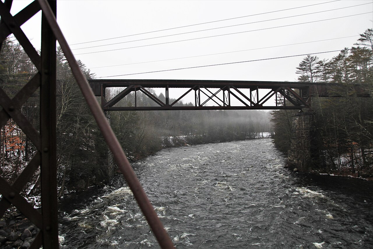
The surrounding landscape is characterized by mixed hardwood forests, providing habitat for diverse wildlife including deer, black bears, and various bird species. During summer, the area near Powley Place is known for excellent blueberry picking, particularly around the iron bridge at the put-in.
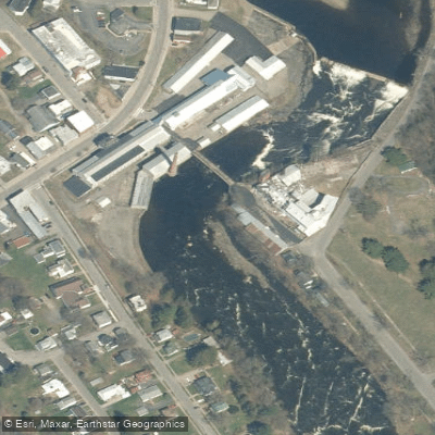
Key landmarks include the historic village of Dolgeville, founded as a planned community in the late 19th century, and the scenic gorges and waterfalls that punctuate the creek's course. The area's rich history is tied to early American industry, with numerous mill sites dotting the creek's banks.
Primary access points include Powley Place for the upper section and Dolgeville for the lower section. Nearby towns like Stratford and Little Falls offer amenities for paddlers.
Safety considerations are paramount, especially for the more challenging upper section. Paddlers should be aware of potential hazards such as strainers, undercut rocks, and fluctuating water levels. Proper equipment, including helmets and life jackets, is essential. Local regulations should be observed, particularly regarding private property and camping restrictions.
While most trips on East Canada Creek are day excursions, the proximity of camping areas near Powley Place allows for potential multi-day adventures combining paddling with hiking and fishing in the surrounding Adirondack region.
East Canada Creek offers a diverse paddling experience, from thrilling whitewater runs to more relaxed floats, set against the backdrop of New York's picturesque forests and rich history. Its varied character makes it a valued destination for paddlers of different skill levels seeking adventure in the heart of the Empire State.
Curated routes
Hand-picked by the PaddleWays team, with put-ins, take-outs, paddle times and the hazards along the way.
RouteClass I–III
RouteClass II–IV
Hazards
No paddler has reported a hazard here yet, so these are the dams, falls and big rapids on our map. Hazards change with flows and storms, so check them before you launch.
From the community
Nobody has shared a trip on East Canada Creek yet. Paddle it, then tell the next paddler how it went.
See exactly where the public can get on and off the river. Launch points and boat ramps are paired with PaddleWays' public land data so you know where you can legally land.
Public shoreline
38%of the river's shoreline is public
Most of the riverbank is private. Launch, land and camp only at public access points.
Flows, weather and a route-by-route verdict, so you know which stretch of the East Canada Creek is worth paddling today.
Live flows, marked hazards and fresh trip reports from paddlers who were just on the water, all in one place.





Every user gets free access to launch points, boat ramps, and public property parcels.

Loading popular cities...
PaddleWays gives you everything you need to plan smarter, paddle better, and own every trip from first launch to takeout.