Schoharie Creek
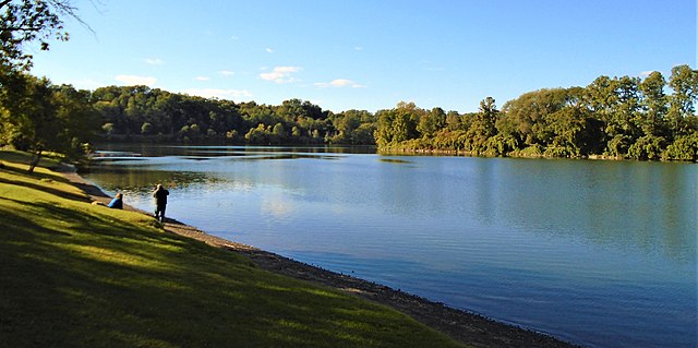
Schoharie Creek
- Boat Ramps
- 4
- Access Points
- 17
- Campsites
- 4
The Schoharie Creek is a significant waterway in eastern New York, originating in the Catskill Mountains and flowing northward for approximately 93 miles before joining the Mohawk River near Fort Hunter. This scenic river system drains a watershed of about 930 square miles, encompassing parts of Greene, Schoharie, Montgomery, and Schenectady counties. Paddlers can enjoy a variety of experiences on the Schoharie Creek, from calm flatwater sections to challenging whitewater runs.
The river offers several popular paddling sections, including the 9-mile stretch from Lexington to Prattsville (Class I-III), the 4.7-mile Gilboa to Minekill run (Class II-III), and the longer 21-mile journey from Esperance to Fort Hunter (Class I-III). The East Kill, a notable tributary, provides an additional 5.4-mile Class II-IV run for more advanced paddlers. The overall difficulty of the Schoharie Creek ranges from Class I to III, with some sections reaching Class IV, particularly on tributaries. Paddlers should have intermediate to advanced skills for most sections, especially during higher water levels.
The creek is typically best paddled in spring and early summer when water levels are optimal, though some sections can be run year-round with proper precautions. The Schoharie Valley boasts diverse flora and fauna, with the creek flowing through picturesque Catskill Mountain scenery. Paddlers may spot various bird species, including bald eagles, and potentially encounter deer or other wildlife along the forested banks.
Key landmarks include the Schoharie Crossing State Historic Site, where paddlers can explore remnants of the Erie Canal, and Mine Kill State Park, offering additional recreational opportunities. Major access points are available near towns such as Hunter, Prattsville, Gilboa, Middleburgh, and Fort Hunter, providing convenient put-in and take-out locations.
Historically, the Schoharie Creek played a crucial role in the development of the region, powering mills and supporting agriculture. Today, it continues to be an important water source and recreational asset for local communities.
Safety considerations include checking water levels before paddling, as the creek can become dangerous during high water events. Paddlers should be aware of potential strainers and other obstacles, especially in less frequently paddled sections.
For those seeking a multi-day adventure, the Schoharie Creek offers opportunities to combine several sections, such as the 18-mile stretch from Fultonham to Central Bridge, followed by the run to Fort Hunter. Camping options are available near some sections, allowing for extended trips through the scenic Schoharie Valley.
Water access, boat ramps & amenities
Learn how to get on Schoharie Creek. Uncover great paddling access points, boat ramps, and all the facilities you need for an unforgettable day on the water. Some locations shown may border or include private property. Always check property boundaries and applicable regulations before visiting. PaddleWays's Public & Private Land layer can help you plan your access with confidence.
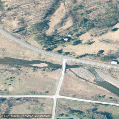
Carr Road Access
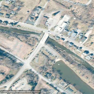
Schoharie Creek Access
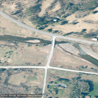
Schoharie Creek Access
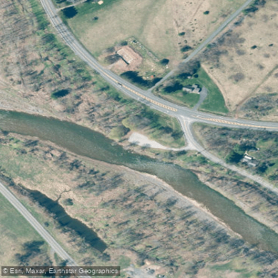
Schoharie Creek Access
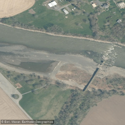
Schoharie Creek
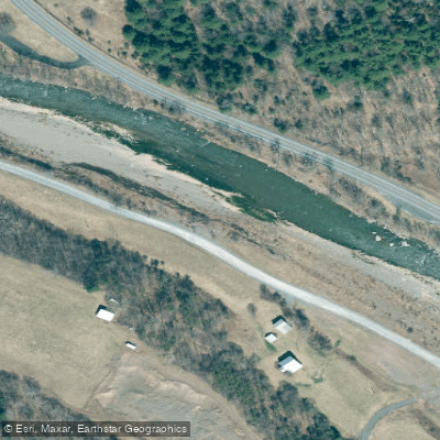
Mosquito Point Access
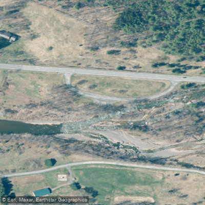
Schoharie Creek Access
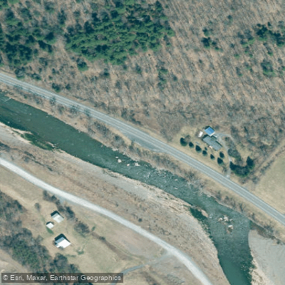
Schoharie Creek Access
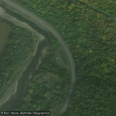
Schoharie Creek Access
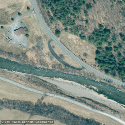
Schoharie Creek Access
Paddle smarter with real-time insights
Whether you're en route and conditions shift or you're looking for the best spot based on current flows, we enable you to make informed decisions on the fly.








Find Places to Paddle

Over 400,000 Places to Paddle
Every user gets free access to launch points, boat ramps, and public property parcels.


Water and weather conditions (10 day forecast)
See the best times to paddle Schoharie Creek and check the forecast before you go.
SCHOHARIE CREEK NEAR LEXINGTON NY
All Flow Stations
Paddling near Schoharie Creek
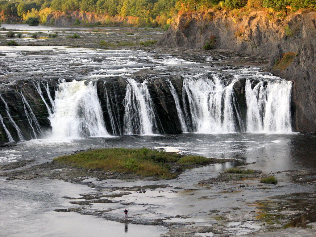
Mohawk River

Hudson River
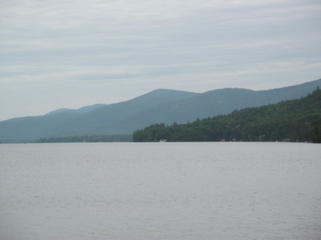
Lake George
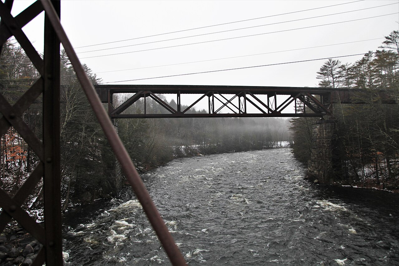
Sacandaga River
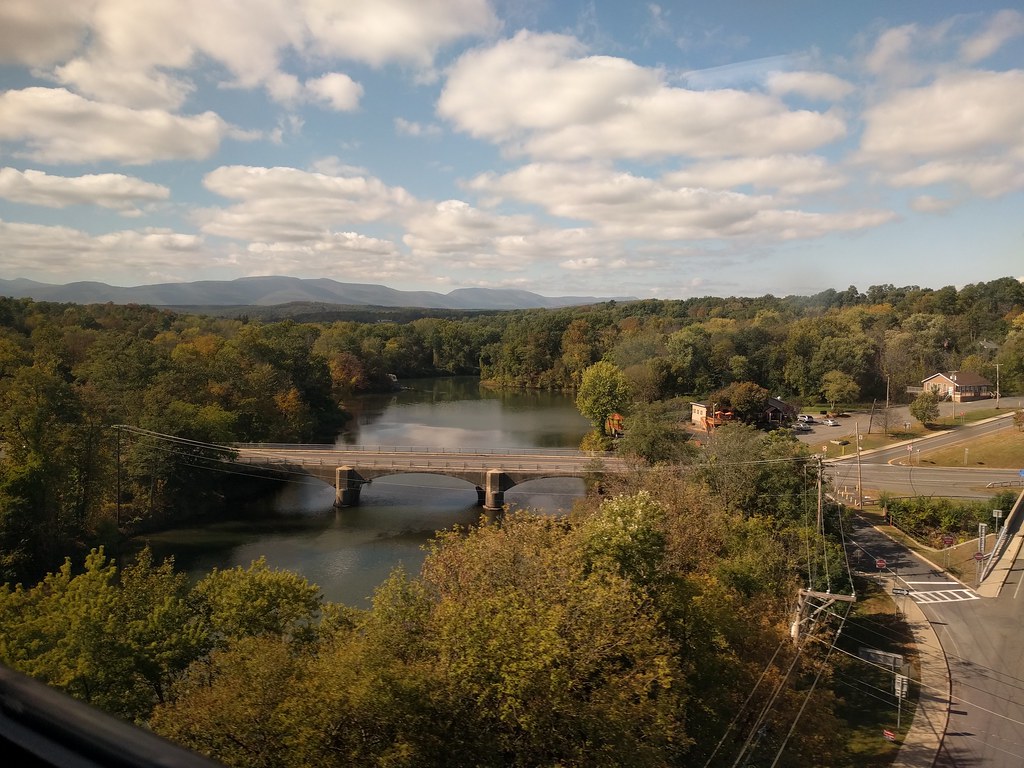
Catskill Creek

Housatonic River

Susquehanna River
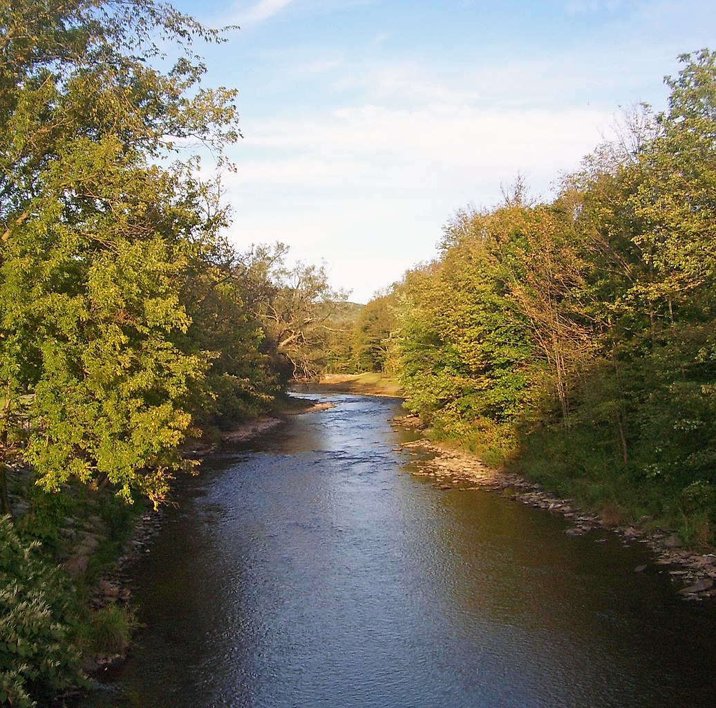
East Branch Delaware River
Schroon River
Explore New York waters
Top paddling waters
Popular Cities
Loading popular cities...
Explore near Schoharie Creek
Access points
Nearby waters
More in New York

Smarter Paddling Starts in the App.
Paddleways gives you everything you need to plan smarter, paddle better, and own every trip from first launch to takeout.