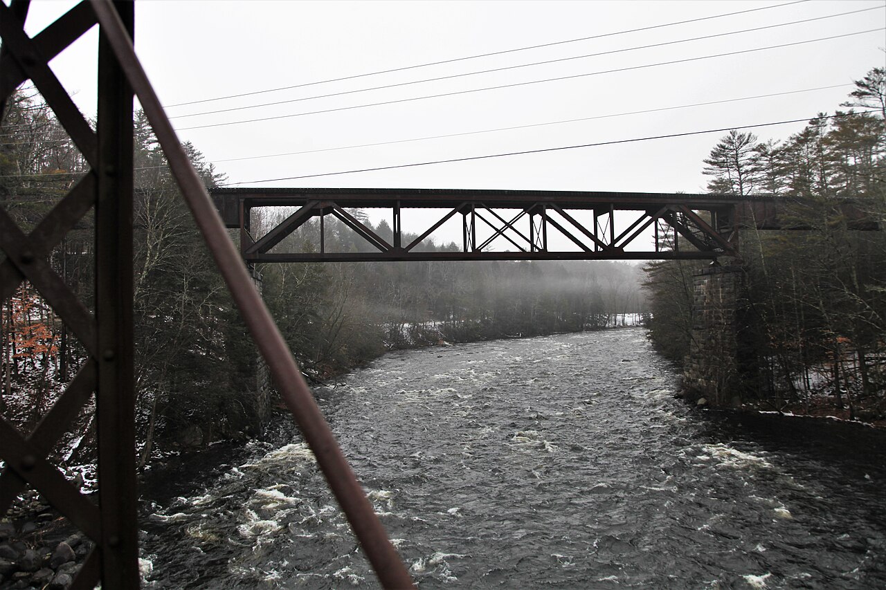
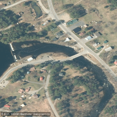
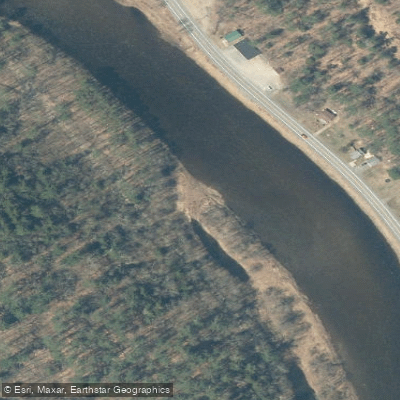
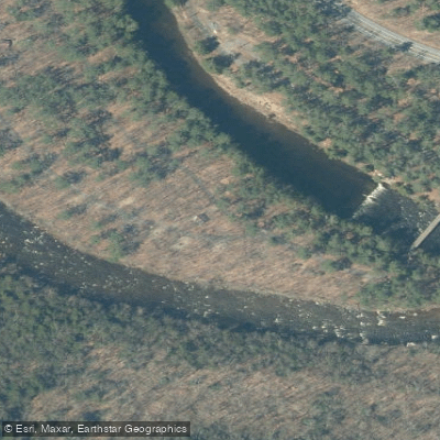
The Sacandaga River, a gem of the Adirondack region in New York, offers a diverse range of paddling experiences from serene flatwater to exhilarating whitewater. This scenic waterway winds through the southern Adirondacks, draining a large portion of the area before eventually forming the Great Sacandaga Lake and joining the Hudson River.
The river is characterized by several distinct sections, each offering unique paddling opportunities. The Upper West Branch provides a peaceful flatwater experience, perfect for novice paddlers and wildlife enthusiasts. This 6.5-mile stretch from the Good Luck Trailhead to Whitehouse meanders through a broad valley of marshes lined with white pine and northern hardwoods, offering side trips to Chub and Trout Lakes.
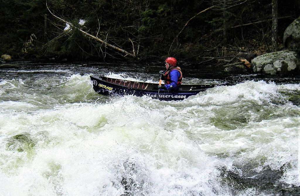
For those seeking more excitement, the West Branch from Arietta/Piseco to Whitehouse delivers a challenging 9.2-mile run with Class IV-V+ rapids, suitable only for expert paddlers. The East Branch, particularly the section known as Griffin Gorge, offers a thrilling 7-mile stretch of Class II-V whitewater from Moose Mountain to Route 30.
The river's difficulty ranges from flatwater to Class V+, accommodating paddlers of all skill levels. However, it's worth noting that even Class II rapids in the Adirondacks can be more challenging than elsewhere, so proper assessment of one's abilities is crucial.
The Sacandaga is typically paddled from spring through fall, with the most reliable water levels in spring and early summer. Whitewater enthusiasts can enjoy consistent flows on the lower 4-mile section below Stewarts Bridge Dam, which has daily releases from Memorial Day to Columbus Day.
The river corridor is home to a variety of wildlife, including Barn Swallows and Eastern Kingbirds. Paddlers may also spot beaver activity, particularly in the calmer sections.
Notable landmarks include the historic ghost town of Whitehouse, complete with two remaining chimneys, and the scenic Square Falls, accessible via the East Branch Gorge Trail. The river passes near Gore Mountain ski area, adding to the region's recreational appeal.
Key access points include Speculator, Wells, and Hadley. These small Adirondack towns serve as gateways to the river and offer amenities for visitors.
The Sacandaga played a significant role in the region's logging history, and remnants of this past can still be seen along its banks. Today, it's an important recreational resource, supporting fishing, paddling, and camping activities.
Safety considerations include proper whitewater gear and skills for the more challenging sections, and awareness of quickly changing water levels. As with all Adirondack waterways, "leave no trace" principles should be followed to preserve the river's natural beauty.
For those looking for a multi-day adventure, the Sacandaga Headwaters Route offers a 30-mile journey linking Piseco, Sacandaga, and Lake Pleasant. This trip combines paddling on various waterways with two portages, providing a comprehensive Adirondack paddling experience.
Whether you're seeking a peaceful float through pristine wilderness or an adrenaline-pumping whitewater run, the Sacandaga River offers a quintessential Adirondack paddling experience, rich in natural beauty and diverse in its offerings.