Eastchester Bay
- Saltwater
- Bay
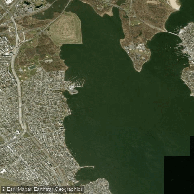
Eastchester Bay
- Saltwater
- Bay
- Sq. miles
- 1.4
- Boat Ramps
- 0
- Access Points
- 0
- Campsites
- 0
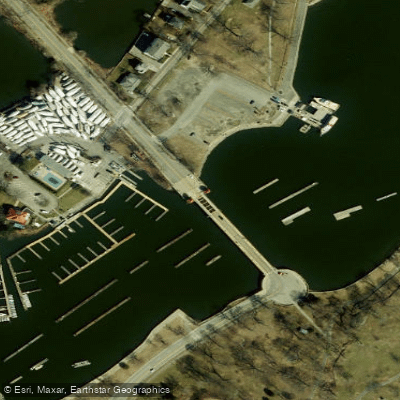
Eastchester Bay is a saltwater bay in the Bronx, New York City, forming a division between Rodman's Neck and the southern area of Pelham Bay Park. The bay is bordered to the east by City Island, connected to the mainland by the City Island Bridge. This bridge, which includes a walkway and bike lane, crosses the channel between Rodman's Neck and City Island, and there is a no-wake zone in this channel. The bay offers access to Long Island Sound to the east. The northeastern shore of the bay is parkland featuring significant tidal wetlands, including 195 acres of salt marsh, which are habitats for birds such as herons, egrets, gulls, and hawks. The western shore hosts several marinas and yacht clubs. For paddlers, currents within Eastchester Bay are minimal, though strong contrary currents can flow south between the islands near City Island. Depths are generally sufficient for most boats but decrease towards the mouth of the Hutchinson River at the head of the bay, and there are known hazards at Big Tom and Cuban Ledge where groundings occur. The bay is exposed to winds from Long Island Sound, which can build to 10-15 knots, creating whitecaps in the main channels and causing significant weathercocking for kayaks. The area is a major boating center, so paddlers should expect substantial motorboat and sailboat traffic, particularly around City Island's marinas. While no specific public launch sites are detailed within the bay itself, the surrounding Pelham Bay Park shoreline and the City Island area provide potential access. The water quality can be good, with one account describing it as beautifully clear, blue, and green. The bay is used for organized paddling events, including a 4-mile kayak/SUP race around City Island and regatta courses within the bay itself.
Water access, boat ramps & amenities
Learn how to get on Eastchester Bay. Uncover great paddling access points, boat ramps, and all the facilities you need for an unforgettable day on the water. Some locations shown may border or include private property. Always check property boundaries and applicable regulations before visiting. PaddleWays's Public & Private Land layer can help you plan your access with confidence.
Paddle smarter with real-time insights
Whether you're en route and conditions shift or you're looking for the best spot based on current flows, we enable you to make informed decisions on the fly.








Find Places to Paddle

Over 400,000 Places to Paddle
Every user gets free access to launch points, boat ramps, and public property parcels.


Tides, wind & water conditions (10 day forecast)
On open water, wind and tide matter as much as the weather. See the best times to paddle Eastchester Bay and check the marine forecast before you launch.
Loading tide predictions…
Paddling near Eastchester Bay

Hudson River

Croton River
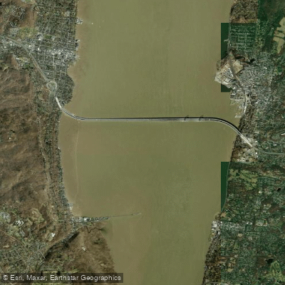
Tappan Zee
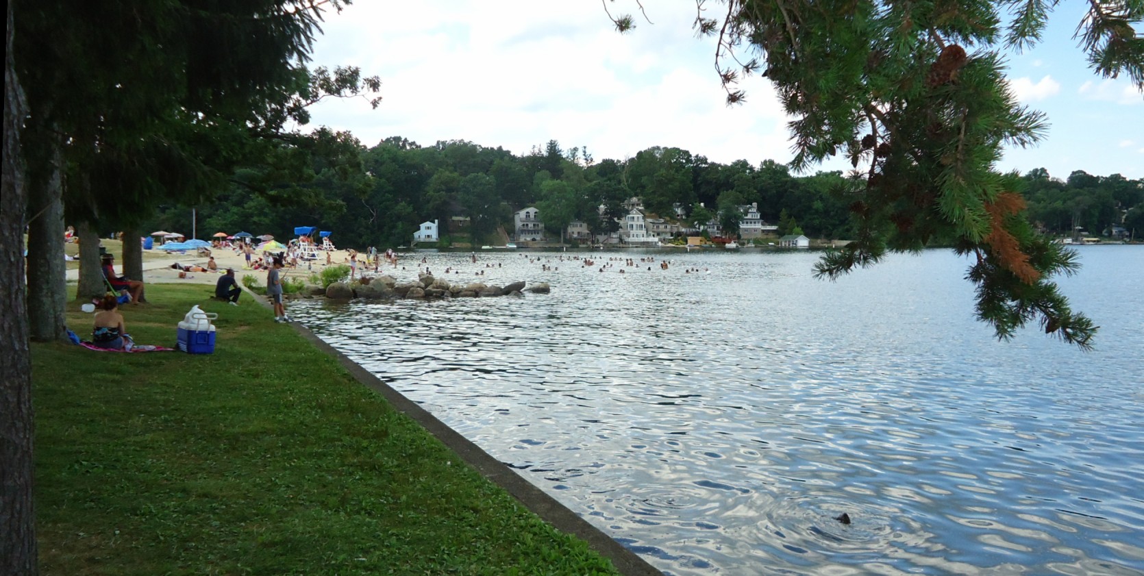
Lake Hopatcong
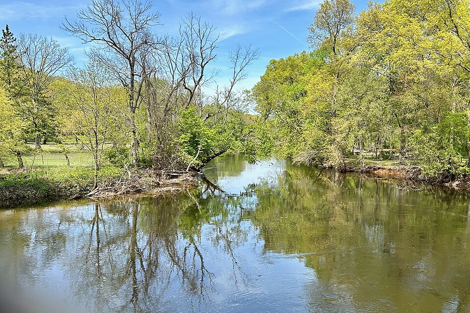
Rockaway River
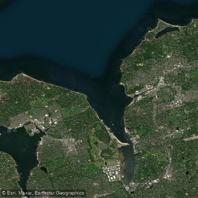
Hempstead Harbor

Raritan River

Housatonic River
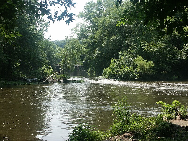
Millstone River
Explore New York waters
Top paddling waters
Popular Cities
Loading popular cities...
Explore near Eastchester Bay
Access points
Nearby waters
More in New York

Smarter Paddling Starts in the App.
Paddleways gives you everything you need to plan smarter, paddle better, and own every trip from first launch to takeout.