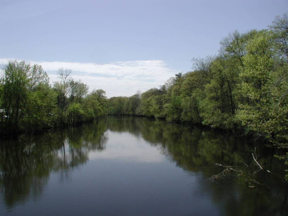
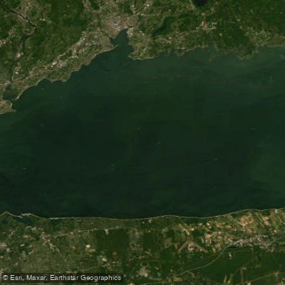
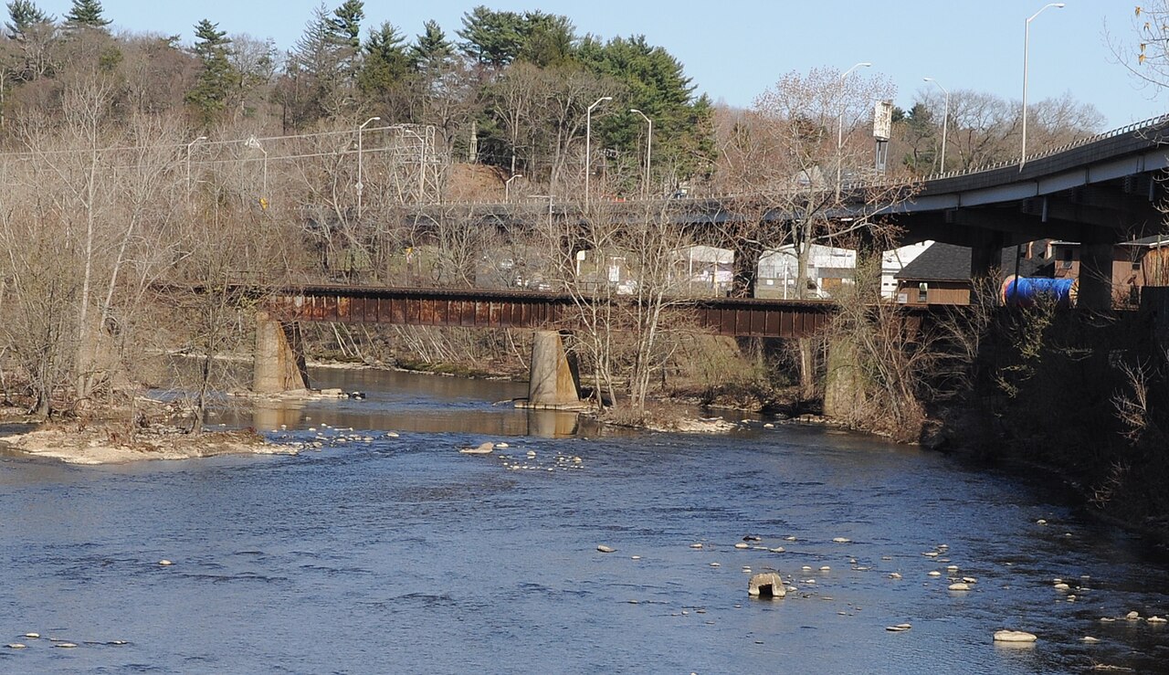
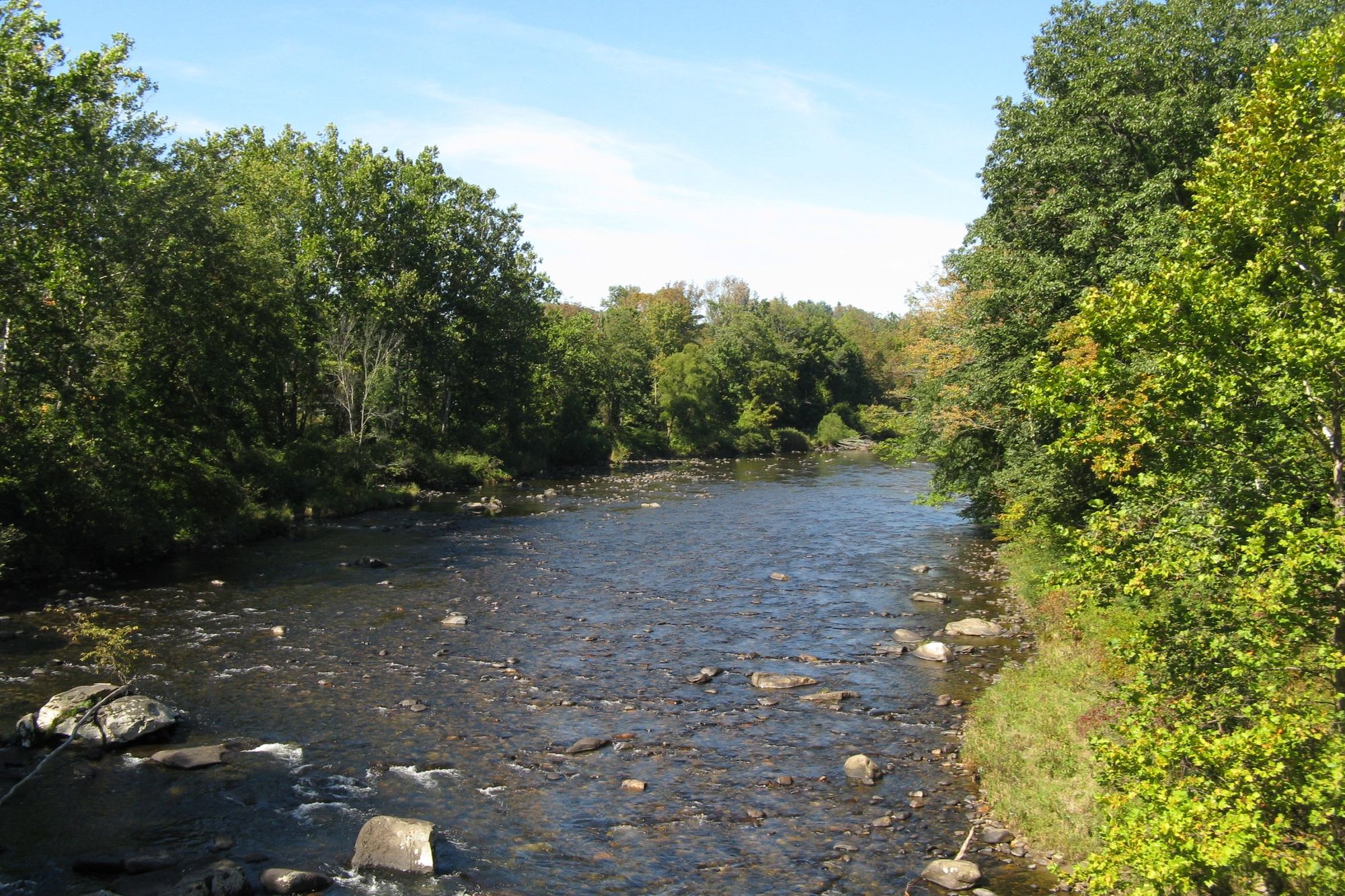
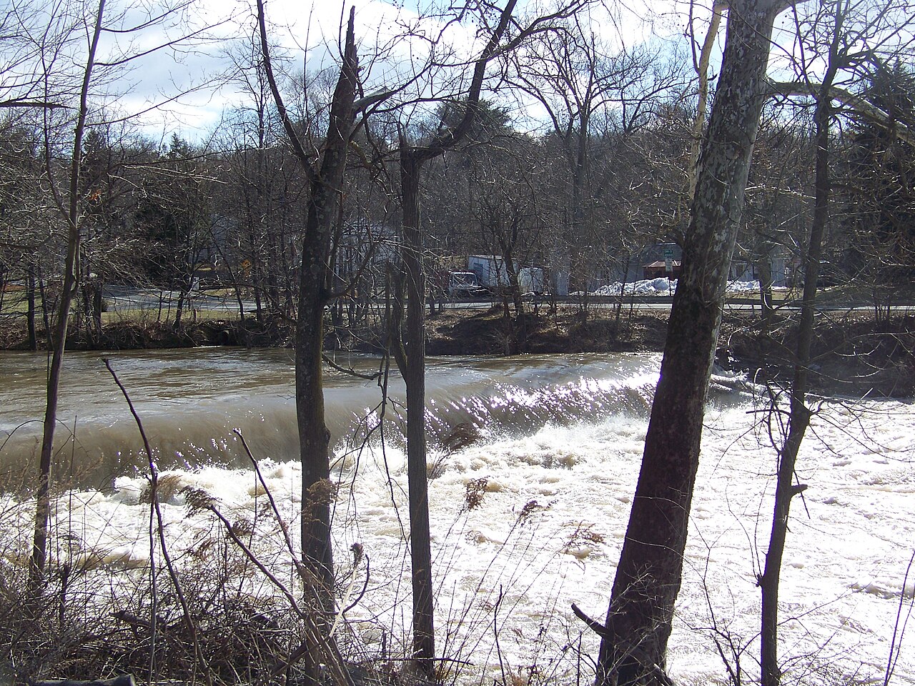
The Housatonic River is a scenic waterway that flows for approximately 149 miles from western Massachusetts through western Connecticut before emptying into Long Island Sound. This diverse river offers paddling opportunities for all skill levels, from placid flatwater sections to challenging whitewater rapids.
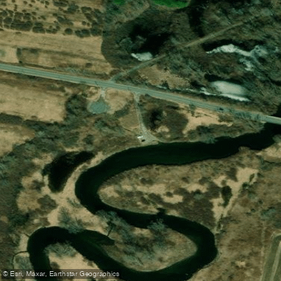
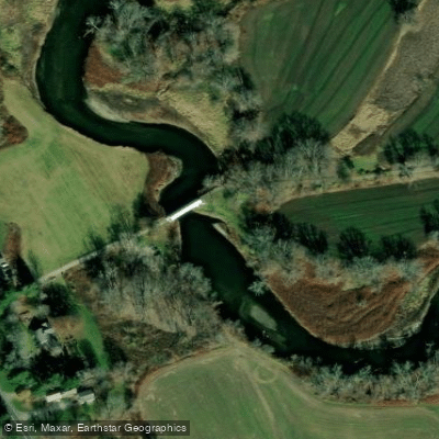
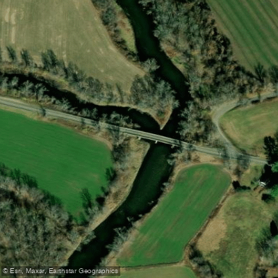
In its upper reaches in the Berkshires of Massachusetts, the Housatonic meanders through a picturesque landscape of rolling hills and farmland. This section is characterized by gentle currents and is ideal for novice paddlers and families. Popular put-ins include the Brookside Road access in Great Barrington and the Division Street boat launch.
As the river enters Connecticut, it becomes more dynamic, with a mix of flatwater and whitewater sections. The stretch from Falls Village to Kent is a favorite among intermediate paddlers, offering Class I-II rapids interspersed with calm pools. The iconic West Cornwall Covered Bridge marks the halfway point of this scenic 10-mile run.
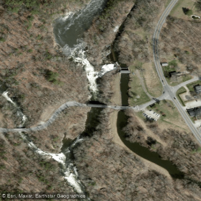
For experienced whitewater enthusiasts, the Bulls Bridge section near Kent provides the river's most challenging rapids. This 2.6-mile stretch features Class IV whitewater with big waves and powerful hydraulics. Paddlers should scout the rapids and be prepared for changing water levels.
The lower Housatonic widens as it approaches Long Island Sound, creating several large impoundments like Lake Lillinonah and Lake Zoar. These lake-like sections are popular for flatwater paddling and fishing. The best paddling season typically runs from spring through fall, with higher water levels in spring offering the most exciting whitewater. Summer provides pleasant conditions for flatwater trips, while fall rewards paddlers with stunning foliage views.
Wildlife is abundant along the Housatonic, with opportunities to spot bald eagles, herons, and a variety of waterfowl. The river corridor is also home to diverse plant life, including floodplain forests and wetland ecosystems. Several state parks and forests border the river, providing camping options for multi-day trips. Popular overnight adventures include paddling from Great Barrington to Kent over 2-3 days, taking in the river's changing character.
Historically, the Housatonic played a crucial role in the region's development, powering mills and factories during the Industrial Revolution. Today, several hydroelectric dams along the river, like Bulls Bridge and Falls Village, serve as important landmarks and portage points for paddlers.
While the Housatonic offers incredible paddling opportunities, it's important to be aware of potential hazards like strainers, changing water levels, and the presence of hydroelectric dams. Paddlers should always check current conditions, wear appropriate safety gear, and be prepared to portage around dams and other obstacles.
Access to the river is generally good, with numerous boat launches and access points in towns along its course. Popular put-ins and take-outs include Falls Village, West Cornwall, Kent, and New Milford in Connecticut, as well as Pittsfield, Lenox, and Great Barrington in Massachusetts.
Whether you're seeking a peaceful float through the Berkshires, an exciting whitewater run, or a multi-day adventure, the Housatonic River offers a paddling experience for every taste and skill level. Its diverse character and scenic beauty make it one of the Northeast's premier paddling destinations.