Gardiners Bay
- Saltwater
- Bay
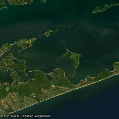
Gardiners Bay
- Saltwater
- Bay
- Sq. miles
- 104
- Boat Ramps
- 0
- Access Points
- 0
- Campsites
- 1
Gardiners Bay is a large, open saltwater bay on the eastern end of Long Island, New York, offering a mix of protected harbors and exposed open water. The bay is bordered by the North Fork to the north, Shelter Island to the west, and the South Fork to the south, creating a complex coastline with numerous inlets and points. Paddling here ranges from serene estuary exploration to challenging open-water crossings, with conditions heavily influenced by wind and tide. The bay is connected to several significant tidal features, including the Peconic Bays to the west, Plum Gut and The Race near Orient Point, and Napeague Harbor to the south.
Access points are numerous but often require fees or permits, especially during the summer season. Key launch sites include Northwest Harbor County Park in East Hampton, which has a hard surface ramp for small boats under 20 feet but requires a fee or permit. Orient Beach State Park provides access to the bayside of the park and the ferry terminal area, though parking fees apply in season. For hand-carry launches, options include the end of Burns Road on Shelter Island for the Coecles Harbor Marine Water Trail, Napeague Harbor Road for access to Napeague Harbor and Gardiners Bay, and Lazy Point Road for Napeague Harbor. The Hashamomuck Marine Waterway Access Site on Peconic Bay offers a public boat ramp and kayak launch, providing a route into the western parts of Gardiners Bay. Other notable put-ins are at Maidstone Park Beach for protected waters in Three Mile Harbor, Gerard Drive for Acabonack Harbor, and various town ramps on Shelter Island like Congdon Road and Daniel Lord Road, which are free to use year-round.
Tidal currents are a primary safety consideration, becoming strong where channels meet the open bay, such as the exit from Three Mile Harbor into Gardiners Bay. In the eastern reaches near Orient Point, Plum Gut and The Race feature powerful currents and can have incoming swell at maximum ebb, creating conditions suitable only for experienced paddlers. Wind exposure across the large expanses of open water can create choppy and hazardous conditions, so paddlers must carefully check wind forecasts and tide tables before departing. Boat traffic is present, particularly in main channels and near harbors, requiring vigilance when crossing. The area is known for diverse wildlife, including osprey, herons, egrets, cranes, and seals, especially in the spring. The scenery includes tidal marshes, secluded beaches, historic landmarks like the Cedar Island Lighthouse, and views of Gardiners Island, Plum Island, and Great Gull Island, though landing on the latter two is prohibited.
Water access, boat ramps & amenities
Learn how to get on Gardiners Bay. Uncover great paddling access points, boat ramps, and all the facilities you need for an unforgettable day on the water. Some locations shown may border or include private property. Always check property boundaries and applicable regulations before visiting. PaddleWays's Public & Private Land layer can help you plan your access with confidence.

Paddle smarter with real-time insights
Whether you're en route and conditions shift or you're looking for the best spot based on current flows, we enable you to make informed decisions on the fly.








Find Places to Paddle

Over 400,000 Places to Paddle
Every user gets free access to launch points, boat ramps, and public property parcels.


Tides, wind & water conditions (10 day forecast)
On open water, wind and tide matter as much as the weather. See the best times to paddle Gardiners Bay and check the marine forecast before you launch.
Loading tide predictions…
Paddling near Gardiners Bay

Connecticut River
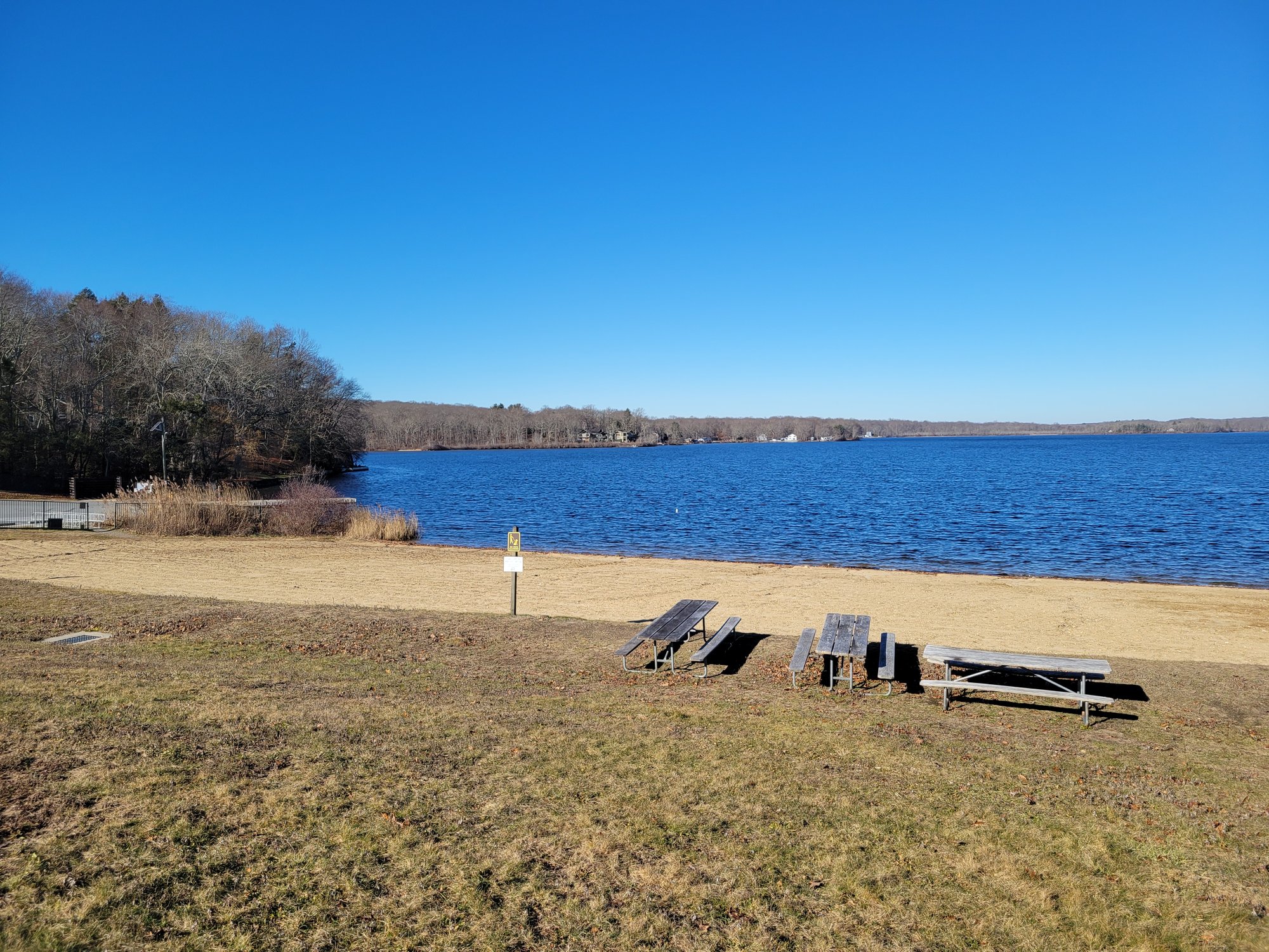
Gardner Lake
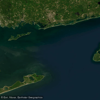
Block Island Sound
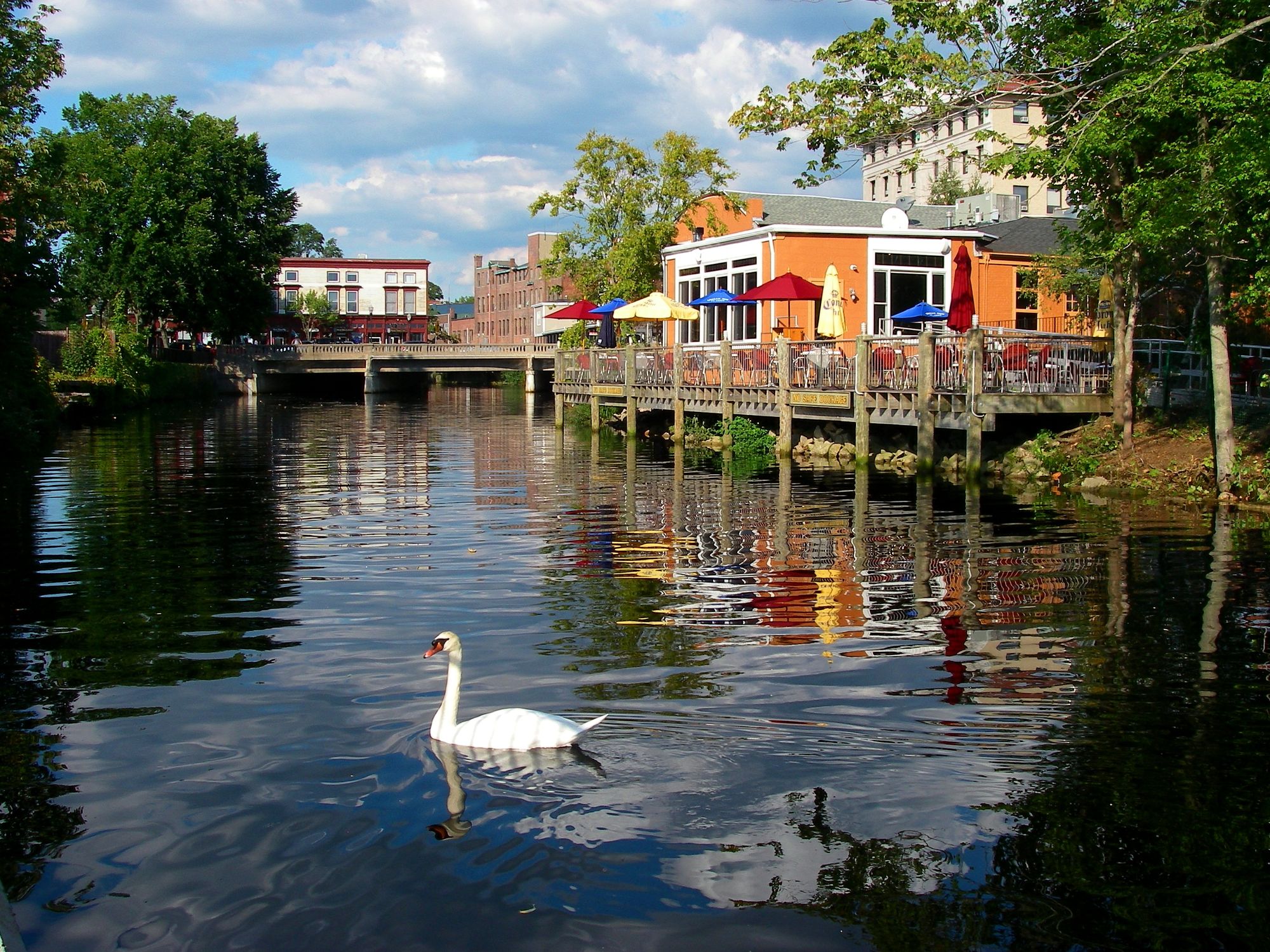
Pawcatuck River

Willimantic River
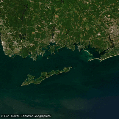
Fishers Island Sound
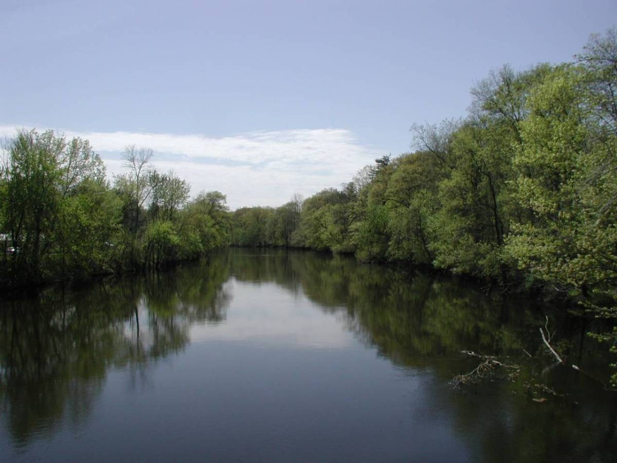
Farmington River

Peconic River
Explore New York waters
Top paddling waters
Popular Cities
Loading popular cities...
Explore near Gardiners Bay

Smarter Paddling Starts in the App.
Paddleways gives you everything you need to plan smarter, paddle better, and own every trip from first launch to takeout.