Peconic River
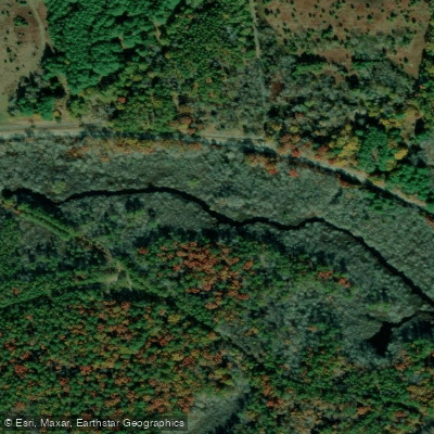
Peconic River
- Boat Ramps
- 7
- Access Points
- 11
- Campsites
- 3
The Peconic River, Long Island's longest river, offers a paddling experience through New York's largest natural area, the Central Long Island Pine Barrens. This 15-mile waterway begins in the heart of the Pine Barrens and meanders eastward, eventually emptying into Peconic Bay. The river is a testament to Long Island's last remaining wilderness, providing paddlers with a unique opportunity to explore the region's natural beauty.
The Peconic River can be divided into two main sections, each offering distinct paddling experiences. The western section, spanning about 8 miles from Calverton to Riverhead, is characterized by freshwater, slow-moving currents, and a serene environment. This stretch is ideal for families and beginners, with its gentle flow and shallow waters perfect for leisurely canoeing and kayaking.
As the river approaches Riverhead, it transitions into the eastern section, where freshwater gives way to saltwater influence from Peconic Bay. This 2-mile tidal stretch presents a more challenging environment for paddlers, with potential powerboat traffic and changing conditions as you near the bay. Intermediate to advanced paddlers often favor this section for its dynamic nature.
The overall difficulty of the Peconic River ranges from flatwater in the western section to more challenging conditions in the eastern tidal area. While most of the river is suitable for all skill levels, paddlers should be aware of their abilities and the changing conditions, especially when approaching Peconic Bay.
Spring and fall are particularly beautiful times to paddle the Peconic, with autumn offering spectacular foliage along the riverbanks. Summer can be enjoyable but may see increased boat traffic, especially near Riverhead and the bay.
The river's ecosystem supports a diverse array of flora and fauna. Paddlers might spot various bird species, including ospreys and herons, as well as turtles sunning themselves on logs. The surrounding Pine Barrens showcase a unique blend of pitch pines and scrub oaks, creating a picturesque backdrop for your journey.
For those seeking a bit more adventure, the Lower Peconic River section offers a challenging 8-mile route with low-hanging trees, rock gardens, and submerged obstacles. This stretch requires some portaging and is best suited for intermediate paddlers looking for a more exciting experience.
Key access points include Calverton and Riverhead, with the latter serving as a transition point between the freshwater and tidal sections. Long Island Canoe Kayak Rentals in Riverhead provides equipment and local knowledge for those without their own gear.
While multi-day trips are less common due to the river's length, ambitious paddlers can combine sections for a full-day adventure, experiencing the transition from the peaceful Pine Barrens to the more dynamic tidal waters.
Safety considerations include being aware of tides in the eastern section, watching for submerged obstacles throughout the river, and staying visible to powerboats near Peconic Bay. As always, wearing a personal flotation device is essential.
The Peconic River not only offers recreational opportunities but also holds significant ecological importance for Long Island. Its journey through the Pine Barrens and into Peconic Bay represents a vital link in the region's ecosystem, making every paddle down the Peconic a chance to connect with and appreciate Long Island's natural heritage.
Water access, boat ramps & amenities
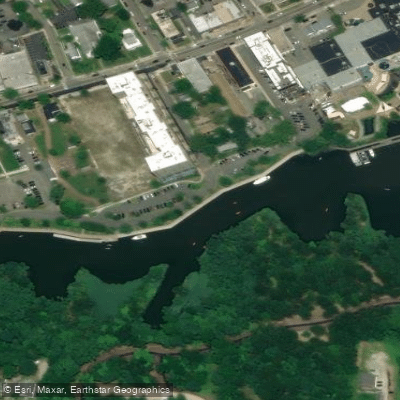
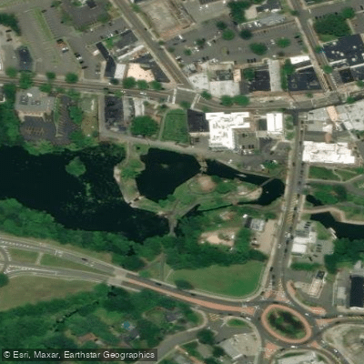
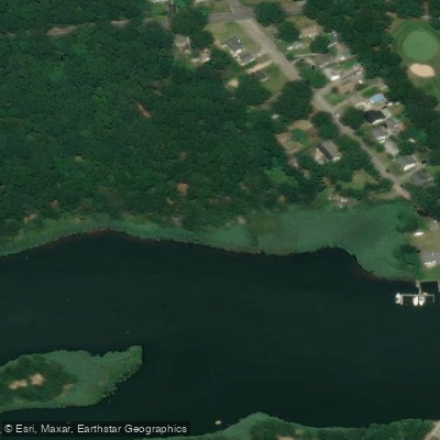
Learn how to get on Peconic River. Uncover great paddling access points, boat ramps, and all the facilities you need for an unforgettable day on the water. Some locations shown may border or include private property. Always check property boundaries and applicable regulations before visiting. PaddleWays's Public & Private Land layer can help you plan your access with confidence.

Paddle smarter with real-time insights
Whether you're en route and conditions shift or you're looking for the best spot based on current flows, we enable you to make informed decisions on the fly.








Find Places to Paddle

Over 400,000 Places to Paddle
Every user gets free access to launch points, boat ramps, and public property parcels.


Water and weather conditions (10 day forecast)
See the best times to paddle Peconic River and check the forecast before you go.
PECONIC RIVER AT RIVERHEAD NY
All Flow Stations
Paddling near Peconic River

Housatonic River

Great South Bay

Connecticut River
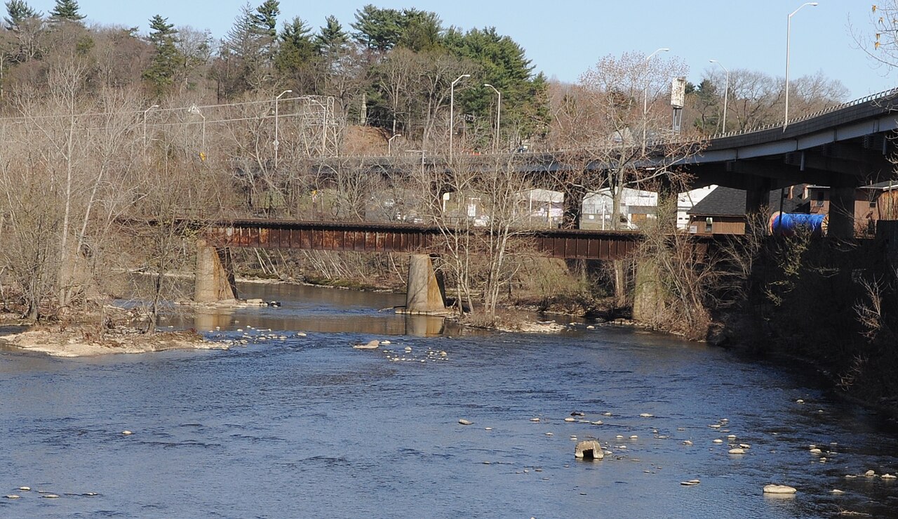
Naugatuck River
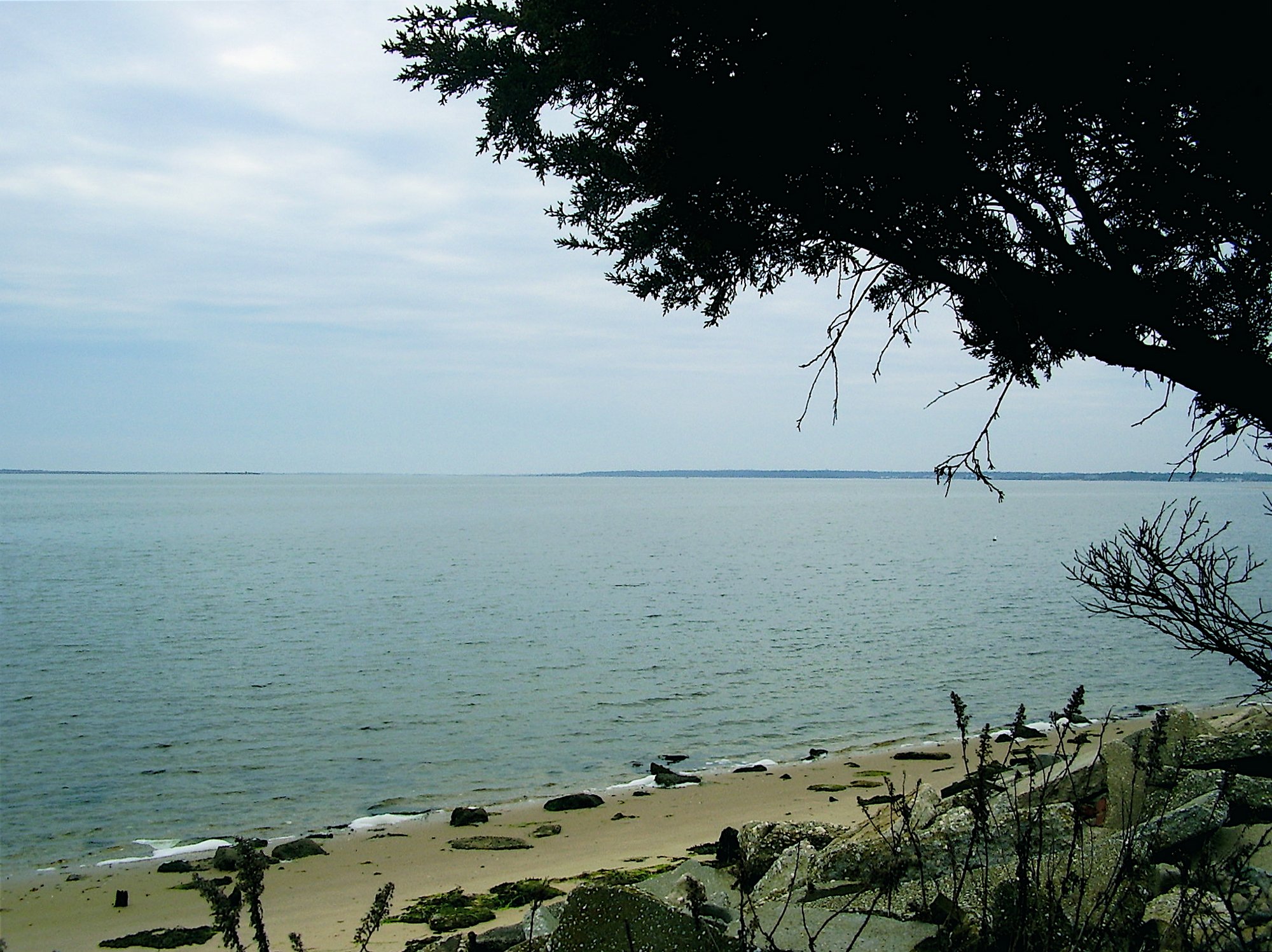
Moriches Bay
Carmans River
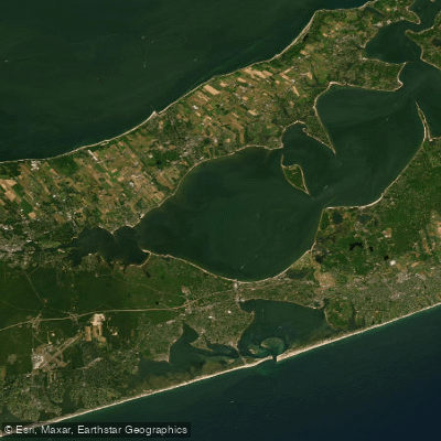
Great Peconic Bay
Nissequogue River
Explore New York waters
Top paddling waters
Popular Cities
Loading popular cities...
Explore near Peconic River
Access points
- Peconic River Boat Ramp
- Peconic River (Upper) Hand Boat Launch
- Peconic River Boat Ramp
- Peconic River Boat Ramp
- Peconic River Upper Boat Ramp
- Forge Pond Peconic River Boat Ramp
- Peconic River Upper Boat Ramp
- Ammann Park Access
- Wading River Manor Road Access
- Milton L. Burns Park Access
- Peconic Estuary Access
- Peconic River Bridge
- All 24 spots
Nearby waters
More in New York

Smarter Paddling Starts in the App.
Paddleways gives you everything you need to plan smarter, paddle better, and own every trip from first launch to takeout.