Curated by PaddleWays
RouteClass I–II
- Distance
- 33.6 mi
- Paddle time
- Multi-day
- Put-in → take-out
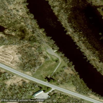
- Grasse River Boat Ramp → Massena Access
PCB discharges from nearby Arconic facility
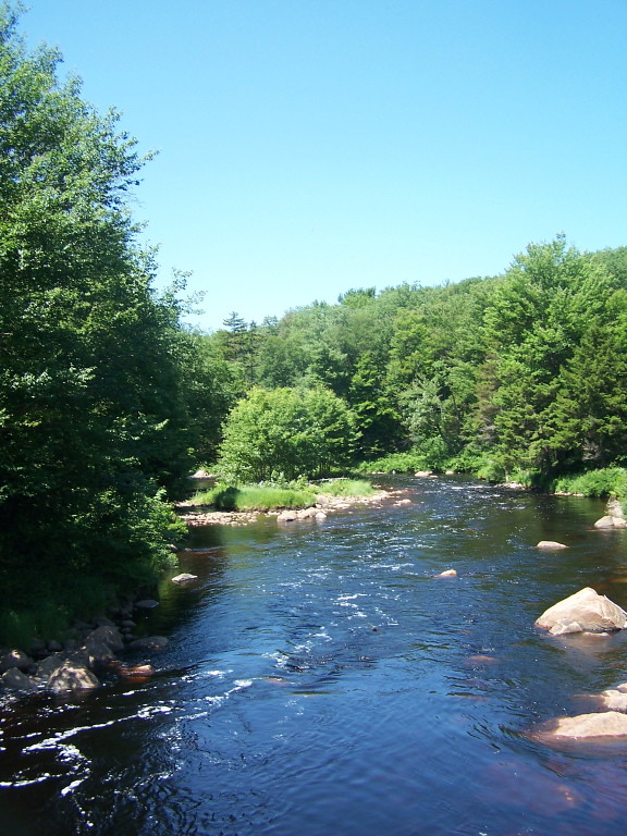
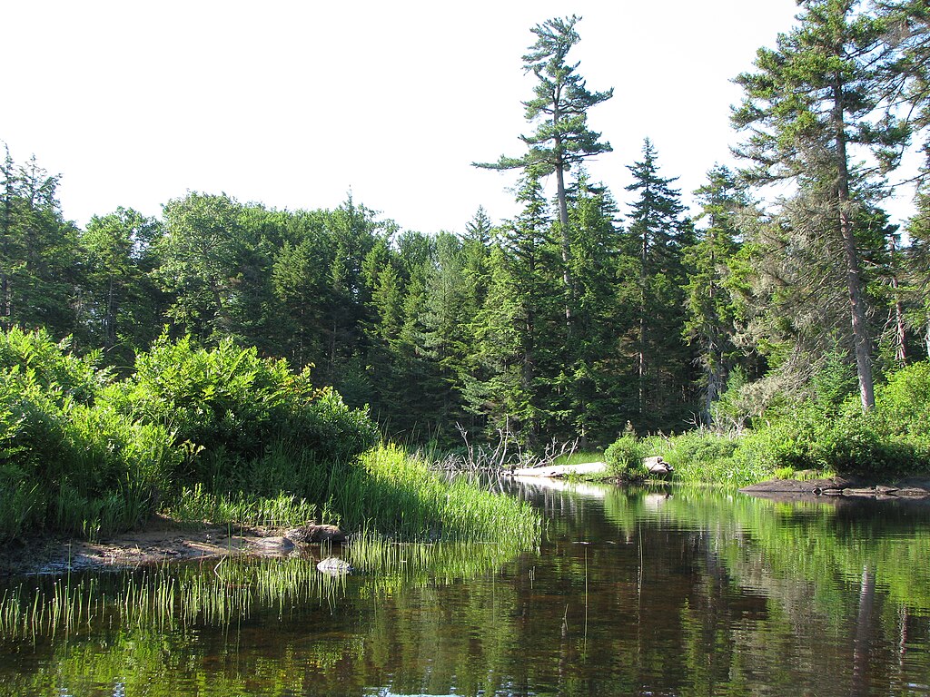
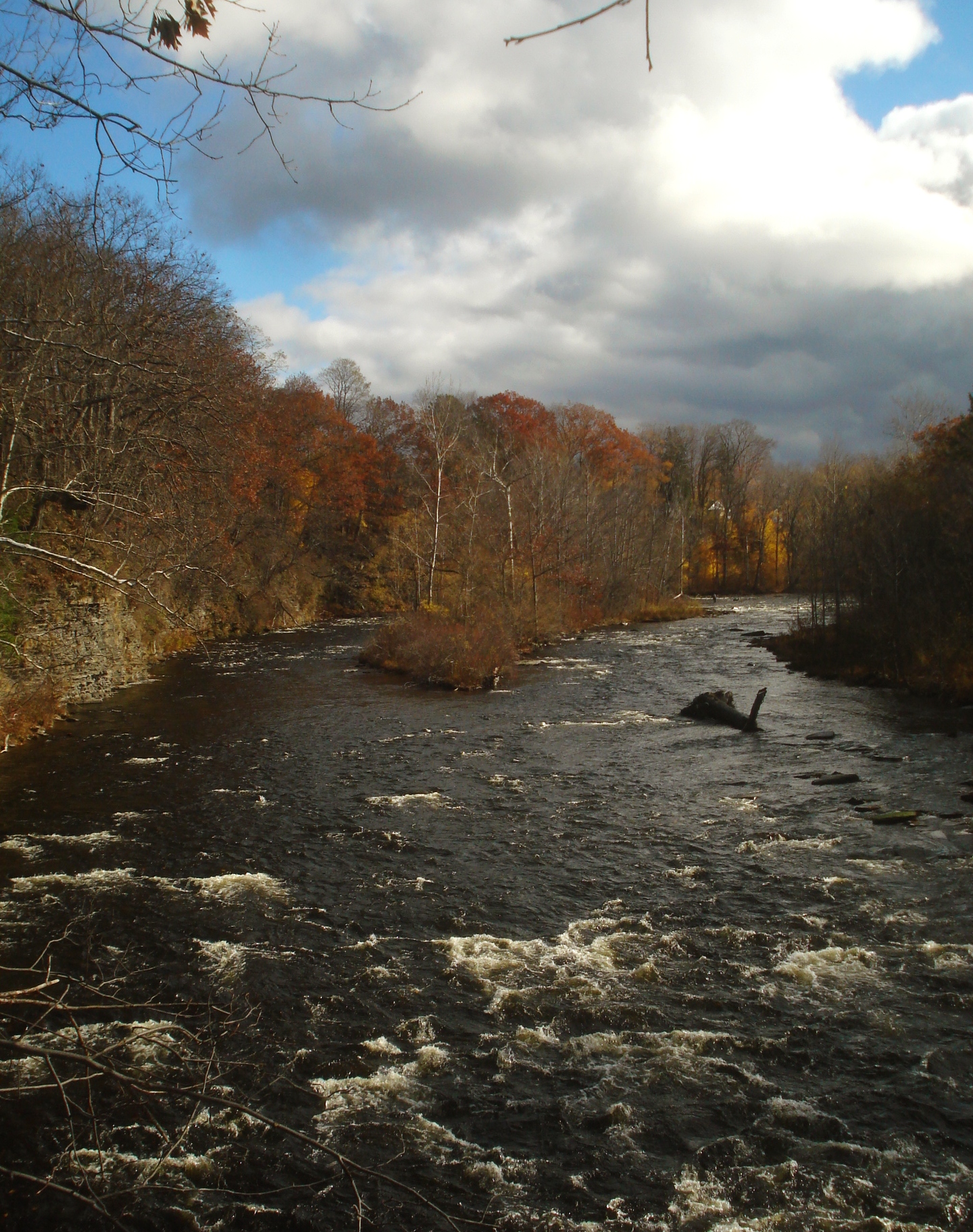
The Grass River, located in the northwestern Adirondacks of New York, is a diverse and captivating waterway that offers a wide range of paddling experiences. Flowing through St. Lawrence County, this river system comprises several branches and sections, each with its own unique character and challenges.
The river's main sections include the Upper River from Degrasse to Pyrites, the North Branch from Canton to Massena, and the renowned South Branch. The Upper River, stretching about 18.5 miles, is primarily a coldwater stream known for its excellent trout fishing. It offers a mix of flatwater paddling with some mild rapids, making it suitable for a range of skill levels.
The North Branch, running 36 miles from Canton to Massena, is a favorite among canoeists with limited skills. This section features mostly flatwater with some easy rapids, classified as Class I-II. It's an excellent choice for beginners and families, with short and manageable portages along the way.
For more experienced paddlers, the South Branch of the Grass River presents one of the most challenging whitewater runs in the Adirondacks. Flowing for about 40 miles from the Massawepie Mire to the Adirondack Blue Line, this section offers Class IV-V rapids and is considered by some kayakers to be one of the best opportunities in the Northeast. The river's difficulty ranges from easy flatwater sections to extremely challenging whitewater, catering to paddlers of all skill levels. However, it's crucial to note that many sections, particularly on the South Branch, are not suitable for beginners and require solid whitewater skills.
Spring typically offers the best water levels for paddling, especially May, when higher flows provide exciting whitewater opportunities and help minimize encounters with beaver dams. However, the river can be enjoyed throughout the summer months, with different sections offering varied experiences as water levels change.
The Grass River is home to a diverse array of wildlife. Anglers will find native brook trout, brown trout, smallmouth bass, and walleye in various sections. The surrounding forests and wetlands provide habitat for typical Adirondack fauna, including deer, black bears, and a variety of bird species.
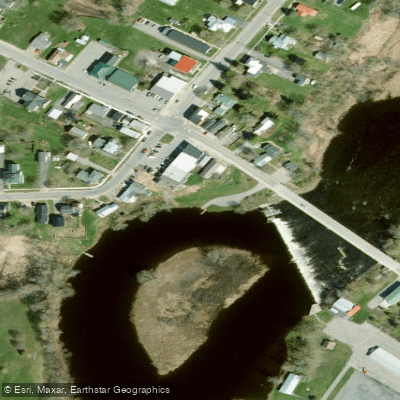
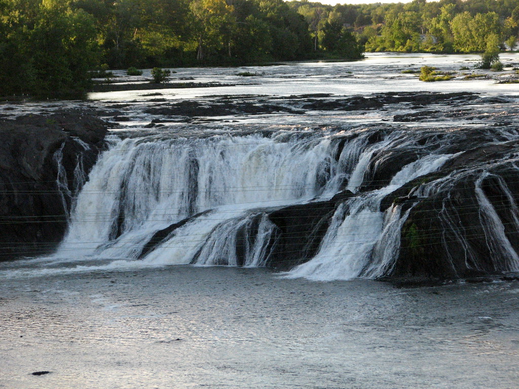
One of the most notable landmarks along the river is Lampson Falls, a wide, 40-foot cascade that's a popular destination for both paddlers and hikers. The falls feature a large, calm pool at the base, perfect for swimming on hot summer days. Other points of interest include Harper's Falls and the scenic gorges found along different sections of the river.
Access to the Grass River is provided through several towns and hamlets, including Canton, Massena, Russell, and Colton. These communities offer services and amenities for paddlers planning their trips. The river's proximity to the St. Lawrence River and other Adirondack attractions makes it an excellent base for exploring the region.
Historically, the Grass River played a significant role in the region's logging industry, with remnants of old dams and mill sites still visible along some sections. Today, it serves as an important recreational resource, drawing paddlers, anglers, and nature enthusiasts from across the Northeast.
Safety is paramount when paddling the Grass River, especially on its more challenging sections. Paddlers should always check current water levels and conditions before embarking on a trip. Proper safety equipment, including helmets and life jackets, is essential, particularly for whitewater sections.
For those looking for multi-day adventures, the river offers several options. A popular choice is combining the North Branch from Canton to Massena with sections of the main Grass River, creating a 2-3 day journey through varied landscapes and paddling conditions.
The Grass River stands as a testament to the wild beauty of the Adirondacks, offering paddlers a chance to experience everything from serene flatwater to heart-pounding whitewater, all within a single river system. Whether you're a beginner looking for a gentle float or an expert seeking the ultimate challenge, the Grass River has something to offer every paddler.
Curated routes
Hand-picked by the PaddleWays team, with put-ins, take-outs, paddle times and the hazards along the way.
RouteClass I–II
Hazards
No paddler has reported a hazard here yet, so these are the dams, falls and big rapids on our map. Hazards change with flows and storms, so check them before you launch.
From the community
Nobody has shared a trip on Grass River yet. Paddle it, then tell the next paddler how it went.
See exactly where the public can get on and off the river. Launch points and boat ramps are paired with PaddleWays' public land data so you know where you can legally land.
Public shoreline
12%of the river's shoreline is public
Most of the riverbank is private. Launch, land and camp only at public access points.
Flows, weather and a route-by-route verdict, so you know which stretch of the Grass River is worth paddling today.
Live flows, marked hazards and fresh trip reports from paddlers who were just on the water, all in one place.





Every user gets free access to launch points, boat ramps, and public property parcels.
Loading popular cities...
PaddleWays gives you everything you need to plan smarter, paddle better, and own every trip from first launch to takeout.