Gravesend Bay
- Saltwater
- Bay
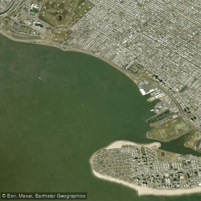
Gravesend Bay
- Saltwater
- Bay
- Sq. miles
- 1.5
- Boat Ramps
- 0
- Access Points
- 3
- Campsites
- 0
Gravesend Bay is a coastal bay in Brooklyn, New York, forming the northern edge of the Coney Island peninsula. It is a saltwater body connected to the Atlantic Ocean via The Narrows, a major shipping channel. The bay's character is defined by its urban, industrial shoreline and proximity to significant maritime traffic. The aesthetic is a mix of natural and built environments, with views of the dramatic skylines of Manhattan and Jersey City across the Upper Bay, juxtaposed with local features like the Coney Island Parachute Jump. Historically, the bay was the site of a British invasion in 1776 and the departure point for the ill-fated SS Mont Blanc prior to the Halifax Explosion in 1917.
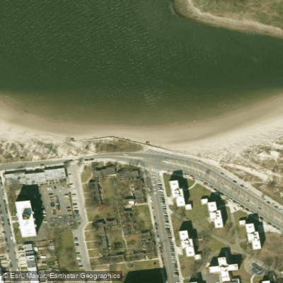
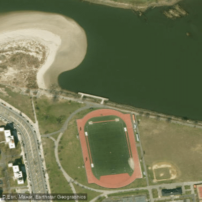
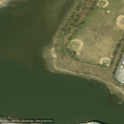
Primary access for paddlers is from Calvert Vaux Park, which offers a kayak launch and easy beach launching, and Kaiser Park at the mouth of Coney Island Creek. These parks provide parking and are connected by the Coney Island CreekWalk, a trail with informational signs about the area's ecology and history. A notable sight within the bay is the wreck of the "Yellow Submarine" located near Kaiser Park. Paddlers can explore the length of Coney Island Creek, a strange combination of bucolic greenery and industrial infrastructure with subway tracks and apartment blocks. The creek empties into the bay.
Paddling conditions are heavily influenced by tides and wind. Strong currents rip through The Narrows, affecting the wider bay. Paddlers report paddling against the current in the bay and specifically timing departures from Coney Island Creek to coincide with favorable tidal flow. The bay has significant fetch, making it susceptible to wind-driven waves; one account describes an arduous crossing against a breeze far from shore. The area is exposed to open water and boat traffic from the adjacent anchorage and shipping channel. Water quality has been a concern, with some sources indicating pollution in the inner portions of the bay and creek, though others suggest the strong tidal flow helps cleanse the area. The parks are sometimes desolate, which may be a safety consideration for solo paddlers. The bay is also used for motorized water sports like jet skiing and wave-shredding activities such as kitesurfing, indicating the potential for mixed watercraft traffic.
Water access, boat ramps & amenities
Learn how to get on Gravesend Bay. Uncover great paddling access points, boat ramps, and all the facilities you need for an unforgettable day on the water. Some locations shown may border or include private property. Always check property boundaries and applicable regulations before visiting. PaddleWays's Public & Private Land layer can help you plan your access with confidence.
Paddle smarter with real-time insights
Whether you're en route and conditions shift or you're looking for the best spot based on current flows, we enable you to make informed decisions on the fly.








Find Places to Paddle

Over 400,000 Places to Paddle
Every user gets free access to launch points, boat ramps, and public property parcels.


Tides, wind & water conditions (10 day forecast)
On open water, wind and tide matter as much as the weather. See the best times to paddle Gravesend Bay and check the marine forecast before you launch.
Loading tide predictions…
Paddling near Gravesend Bay

Hudson River

Raritan River
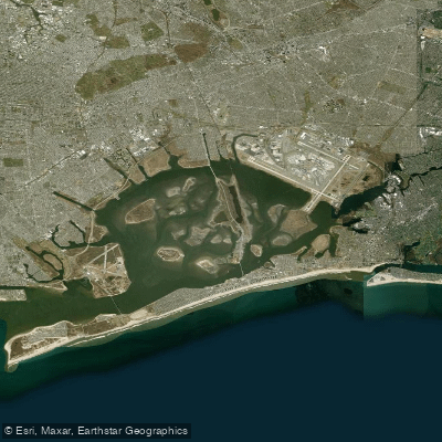
Jamaica Bay
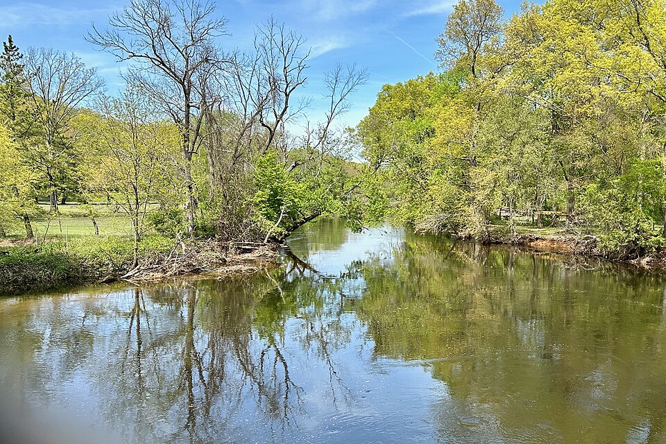
Rockaway River
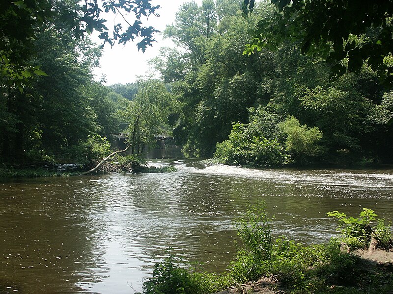
Millstone River
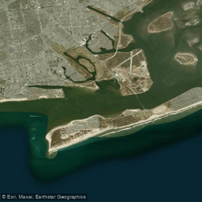
Rockaway Inlet

Croton River
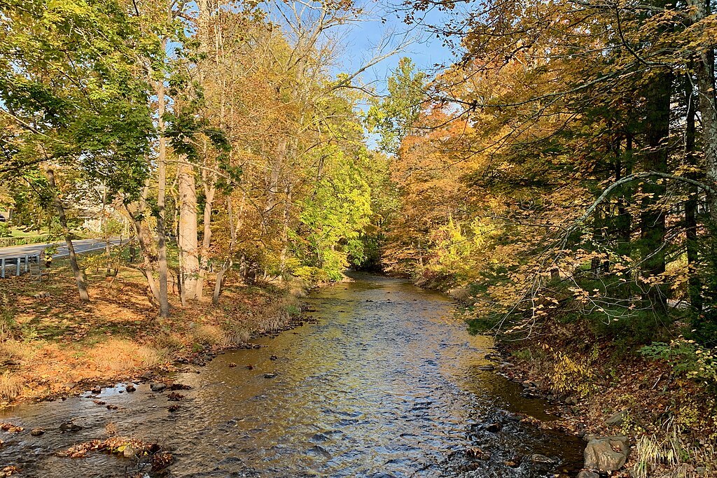
Lamington River
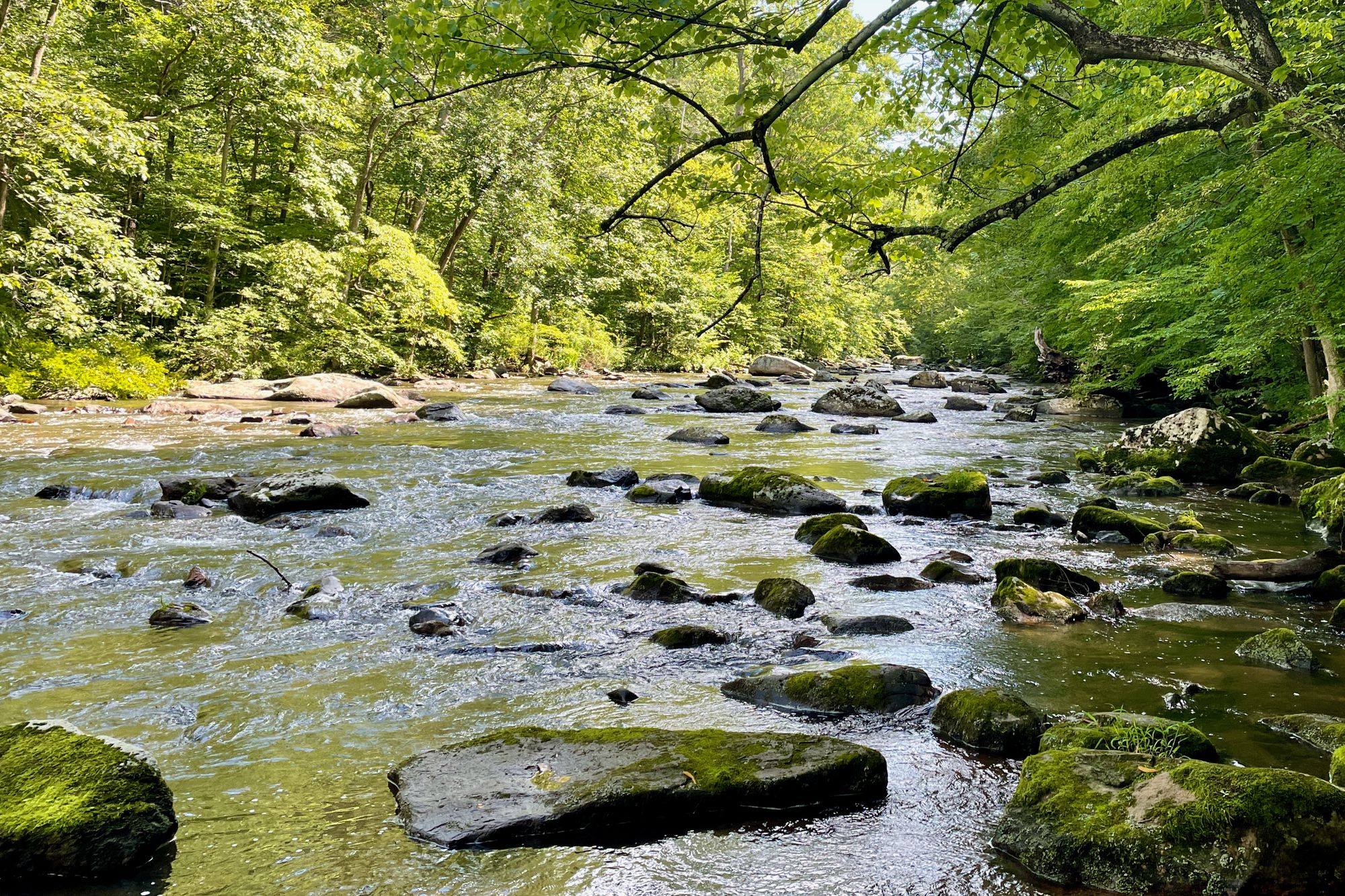
South Branch Raritan River
Explore New York waters
Top paddling waters
Popular Cities
Loading popular cities...
Explore near Gravesend Bay

Smarter Paddling Starts in the App.
Paddleways gives you everything you need to plan smarter, paddle better, and own every trip from first launch to takeout.