Curated by PaddleWays
RouteFlatwater
- Distance
- 5 mi
- Paddle time
- ~1.5 hrs
- Best for
- Kayak, canoe, SUP
- Put-in → take-out
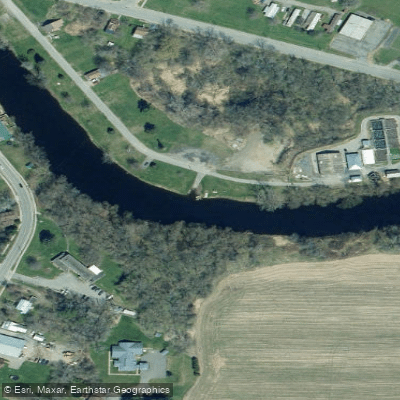
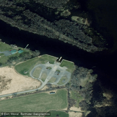
- River Street Boat Ramp → Lakeshore Road Boat Ramp
Potential wind affecting conditions near river mouth
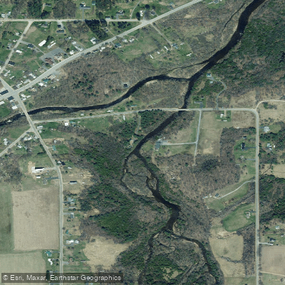
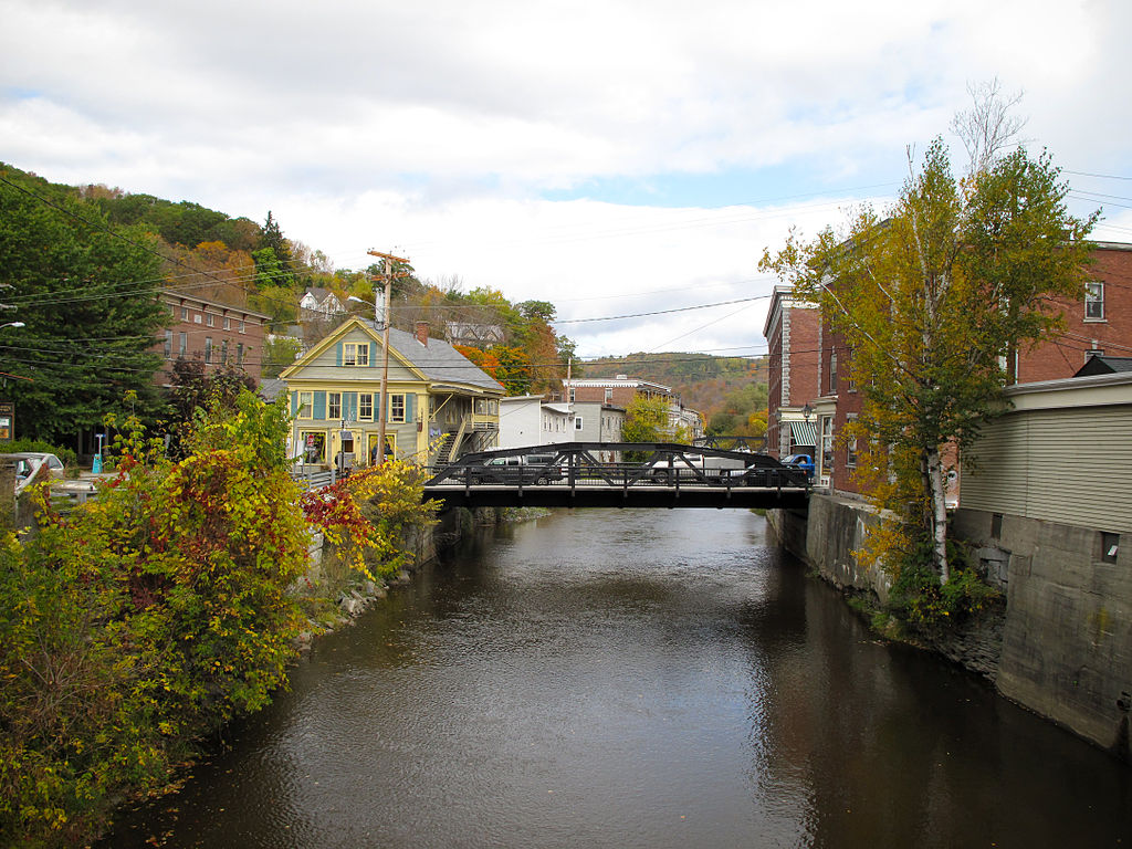
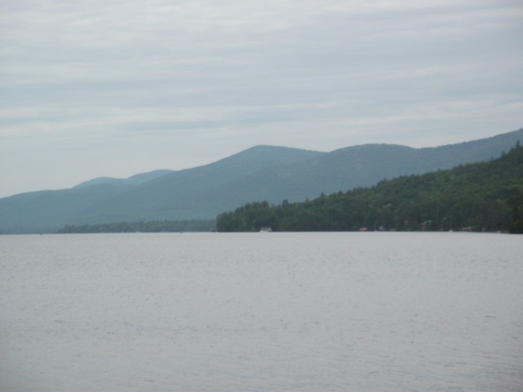
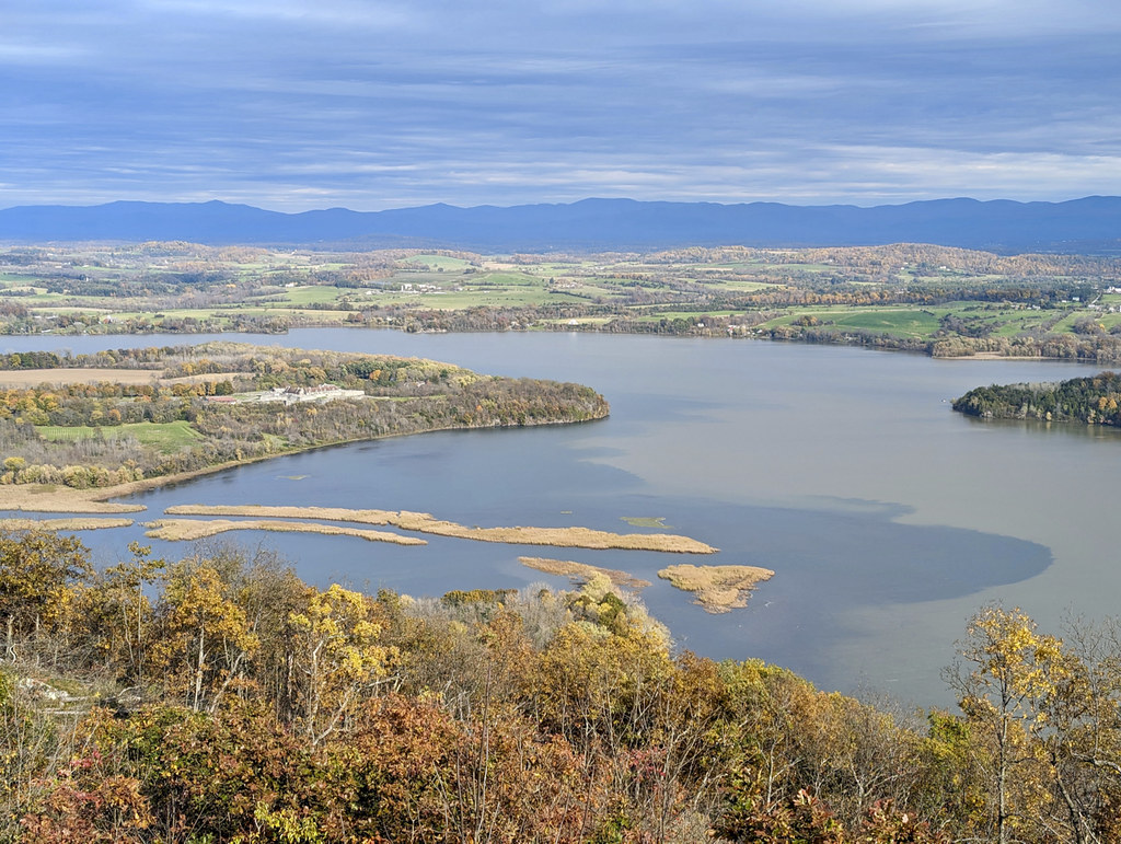
The Great Chazy River is a significant waterway in northeastern New York, originating in the Adirondack Mountains and flowing northward for approximately 50 miles before emptying into Lake Champlain at Kings Bay. The river's watershed encompasses parts of Clinton County, draining an area of roughly 300 square miles. Paddlers can experience a diverse range of conditions on the Great Chazy, from challenging whitewater in its upper reaches to placid flatwater near its mouth.
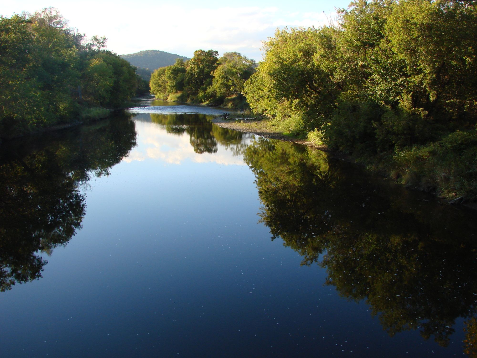
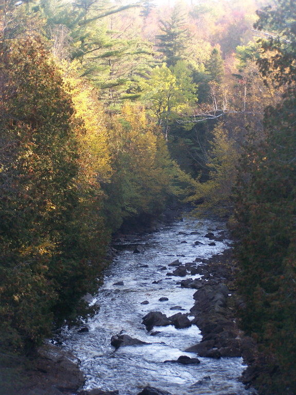
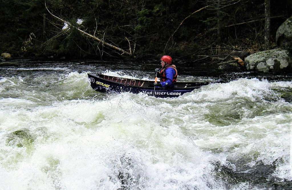
The river is divided into several distinct sections, each offering unique paddling opportunities. The upper section from Chazy Lake to Miner Lake provides 5 miles of Class II-III rapids with potential Class IV features at higher water levels, suitable for intermediate to advanced paddlers. Downstream, the 11-mile Miner Lake to Mooers stretch, known as Aquaduct Alley, presents a more intense Class IV+ whitewater experience for expert kayakers only. In contrast, the lower 6-mile section from Champlain to Coopersville offers a serene flatwater paddle ideal for beginners and families. This stretch is perfect for canoes, kayaks, and stand-up paddleboards, providing scenic views and wildlife viewing opportunities.
The Great Chazy's flow is typically best for paddling in spring and early summer when snowmelt and rainfall increase water levels. However, the lower sections can be enjoyed throughout the summer and fall. Paddlers should always check current water levels and weather conditions before embarking on any trip.
The river corridor supports a diverse ecosystem, with Great Blue Herons often seen along its banks. The surrounding landscape transitions from the forested Adirondack foothills to the agricultural plains near Lake Champlain.
Key access points include the put-ins at Chazy Lake and Miner Lake for whitewater sections, and River Road in Champlain for the flatwater stretch. The take-out at the Great Chazy boat launch in Coopersville marks the river's end at Lake Champlain.
Historically, the Great Chazy River played a role in early settlement and industrial development of the region. Today, it serves as an important recreational resource for local communities and visitors alike.
Safety considerations include proper whitewater equipment and skills for the upper sections, and awareness of potential wind conditions on the lower river, especially near the mouth. All paddlers should wear life jackets and follow New York state boating regulations. While primarily used for day trips, the river's varied sections could be combined for multi-day adventures by experienced paddlers with proper planning and logistics.
Curated routes
Hand-picked by the PaddleWays team, with put-ins, take-outs, paddle times and the hazards along the way.
RouteFlatwater
RouteClass II–IV
RouteFlatwater
Hazards
Reported by paddlers, with the dams, falls and big rapids on our map. Hazards change with flows and storms, so check them before you launch.
Dam
No details were given with this report.
From the community
Nobody has shared a trip on Great Chazy River yet. Paddle it, then tell the next paddler how it went.
See exactly where the public can get on and off the river. Launch points and boat ramps are paired with PaddleWays' public land data so you know where you can legally land.
Public shoreline
9%of the river's shoreline is public
Most of the riverbank is private. Launch, land and camp only at public access points.
Flows, weather and a route-by-route verdict, so you know which stretch of the Great Chazy River is worth paddling today.
Live flows, marked hazards and fresh trip reports from paddlers who were just on the water, all in one place.





Every user gets free access to launch points, boat ramps, and public property parcels.


Loading popular cities...
PaddleWays gives you everything you need to plan smarter, paddle better, and own every trip from first launch to takeout.