Wappinger Creek
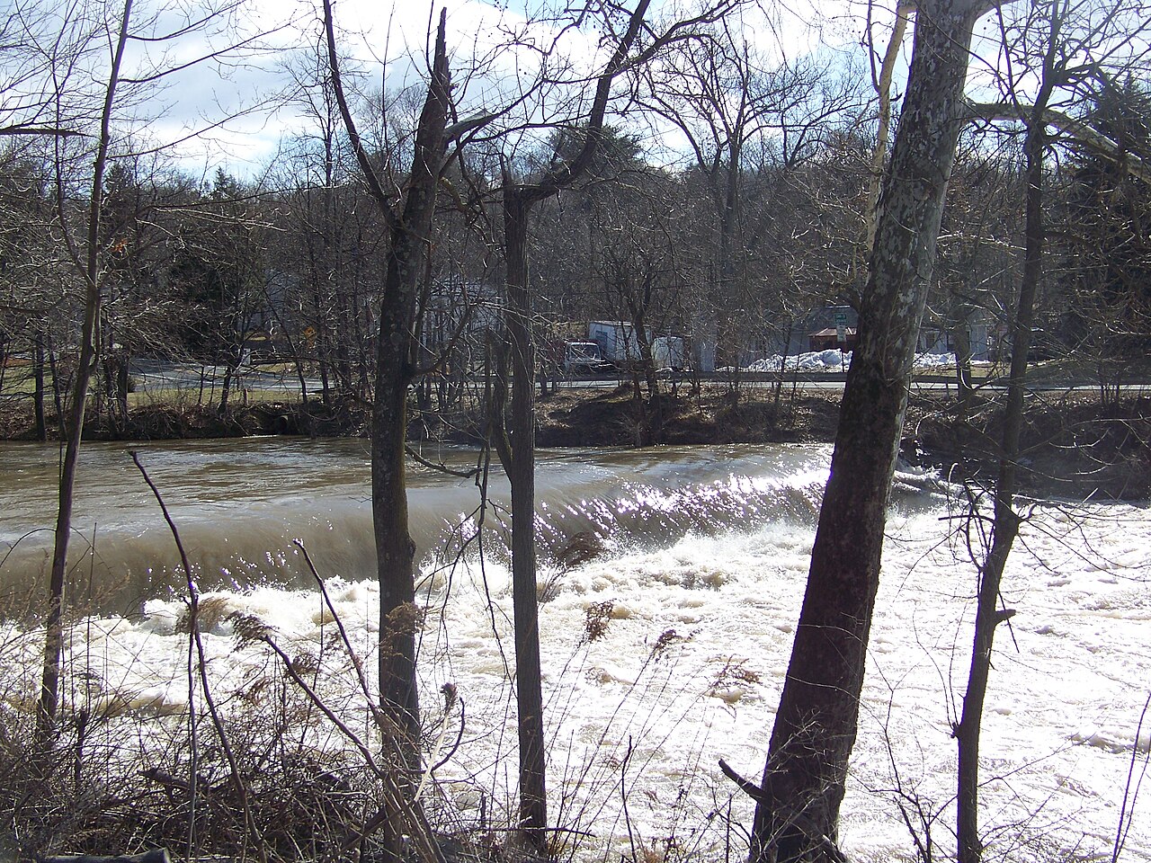
Wappinger Creek
- Boat Ramps
- 2
- Access Points
- 18
- Campsites
- 0
Wappinger Creek is a scenic 41.7-mile waterway in Dutchess County, New York. Originating at Thompson Pond near Pine Plains, it flows southwestward through the Hudson Valley before emptying into the Hudson River at New Hamburg. The creek and its tributaries drain a watershed of approximately 134 square miles.
Paddlers can enjoy a variety of experiences on Wappinger Creek, from placid flatwater sections to more challenging whitewater runs. The most popular paddling stretch is the 8-mile section from Red Oak Mills to New Hamburg, which features Class I-III rapids suitable for intermediate paddlers. This run offers a mix of swift water, small drops, and technical maneuvering around boulders and fallen trees.
For beginners and families, the lower sections of Wappinger Creek provide calmer waters ideal for leisurely paddling. The Pleasant Valley Recreation Center offers a convenient launch point for exploring the creek's gentler stretches. Kayakers and canoeists can enjoy scenic views of the surrounding woodlands and occasional wildlife sightings.
The creek's flow is generally best in spring and early summer, with water levels often becoming too low for enjoyable paddling by late summer. The annual Wappingers Creek Water Derby, held on the last Saturday in April, draws hundreds of participants for an 8-mile race from Pleasant Valley to LaGrange.
Notable access points include the Pleasant Valley Recreation Center, Quiet Acres Park in Wappingers Falls, and the take-out at New Hamburg where the creek meets the Hudson River. Paddlers should be aware of occasional low-hanging trees and log jams, particularly after storms.
Wappinger Creek holds historical significance as a waterway used by Native Americans and early European settlers. Today, it serves as an important recreational resource for the region, offering opportunities for paddling, fishing, and nature observation.
Safety considerations include checking water levels before paddling, wearing appropriate safety gear, and being prepared for occasional portages around obstacles. Local regulations may apply, so paddlers should check with local authorities or paddling groups for the most up-to-date information. While primarily suited for day trips, more adventurous paddlers could potentially plan multi-day excursions by combining different sections of the creek, though camping options along the route may be limited.
Water access, boat ramps & amenities
Learn how to get on Wappinger Creek. Uncover great paddling access points, boat ramps, and all the facilities you need for an unforgettable day on the water. Some locations shown may border or include private property. Always check property boundaries and applicable regulations before visiting. PaddleWays's Public & Private Land layer can help you plan your access with confidence.
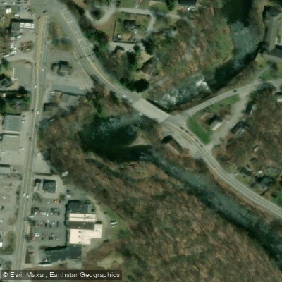
Red Oak Mills Access
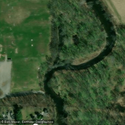
Greenvale Park Access
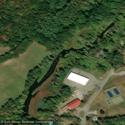
Stanford Recreation Park Access
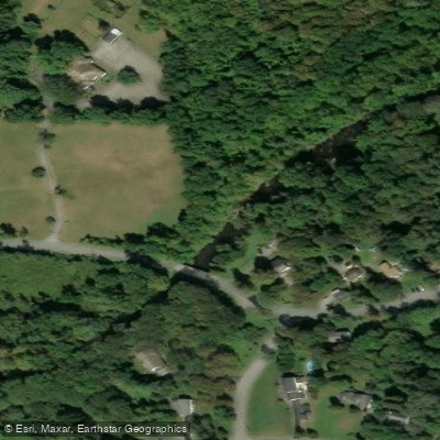
Hibernia Road Access
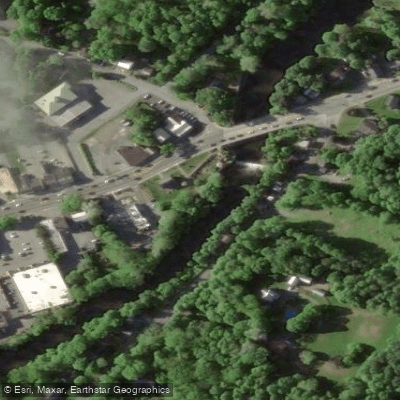
Pleasant Valley Memorial Park Access

Colonial Heights Access
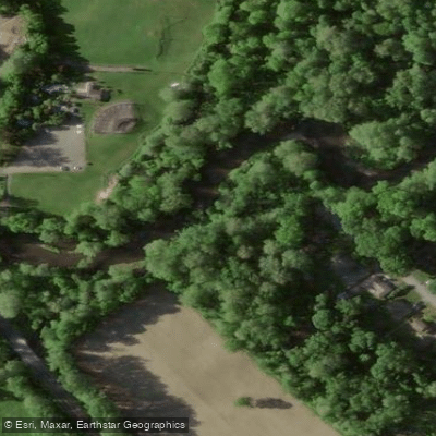
Germania Access
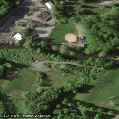
Cady Recreation Park Access
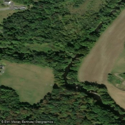
Bower Park Access
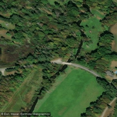
Wappinger Creek Access
Paddle smarter with real-time insights
Whether you're en route and conditions shift or you're looking for the best spot based on current flows, we enable you to make informed decisions on the fly.








Find Places to Paddle

Over 400,000 Places to Paddle
Every user gets free access to launch points, boat ramps, and public property parcels.


Water and weather conditions (10 day forecast)
See the best times to paddle Wappinger Creek and check the forecast before you go.
WAPPINGER CREEK NEAR WAPPINGERS FALLS NY
Paddling near Wappinger Creek

Hudson River
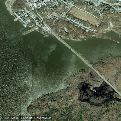
Foundry Cove
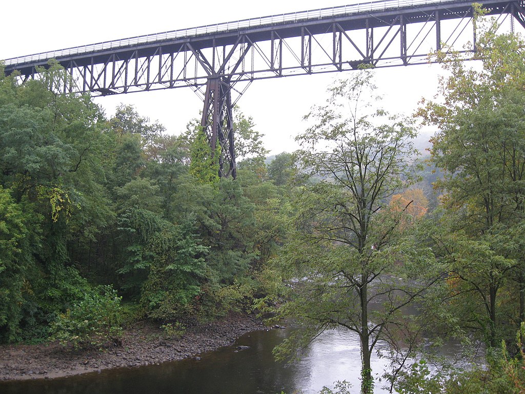
Rondout Creek

Housatonic River
Worlds End
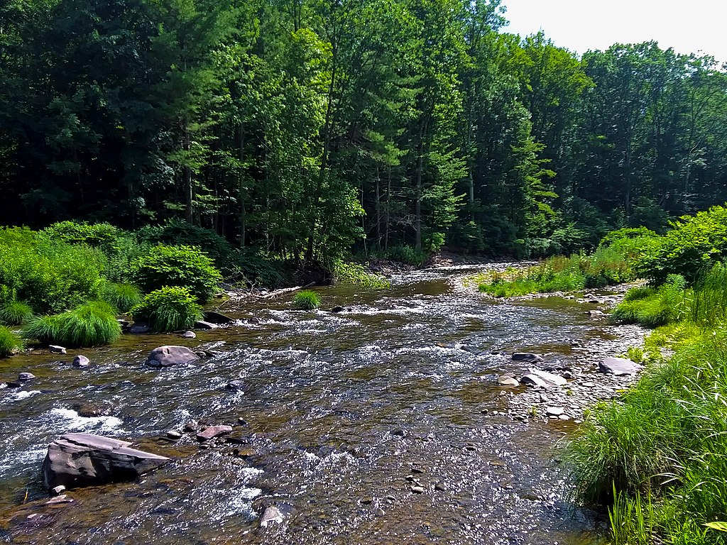
Esopus Creek
Schoharie Creek
Peekskill Bay

Croton River
Explore New York waters
Top paddling waters
Popular Cities
Loading popular cities...
Explore near Wappinger Creek
Access points
Nearby waters
More in New York

Smarter Paddling Starts in the App.
Paddleways gives you everything you need to plan smarter, paddle better, and own every trip from first launch to takeout.